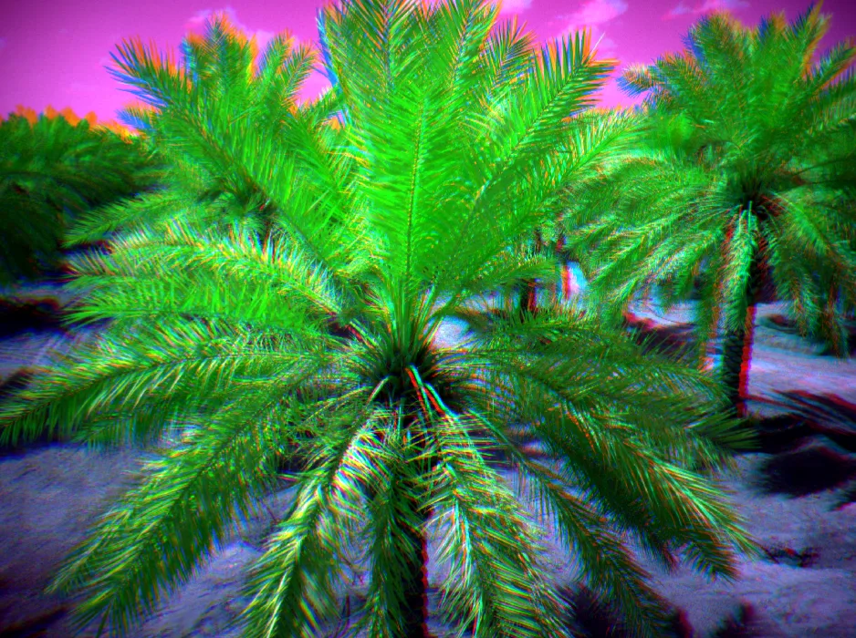
Qassim is one of the Kingdom’s main farming regions, and its farms are too large to check on foot. A multispectral aircraft covers a farm in a day and gives a reading for every palm or every part of a field, so you know where to start the field check instead of walking the whole farm.
12 logged flights in the Qassim Region since November 2023, from our AirData flight log
What we do in Qassim
- Multispectral farm surveysNDVI, NDRE and MCARI for every palm or every part of a field, to rank field inspections and track change across seasons.
- RTK mapping of farms and landOrthomosaics and elevation models of farms, pivot fields and land before development.
- Earthworks quantitiesCut, fill and stockpile volumes for levelling and land reclamation projects.
- Aerial filmingFootage up to 6K of farms, projects and events.
Permits and access
Most farms sit in fairly open rural airspace, but we obtain the GACA flight authorisation for every site. Sites near Prince Naif bin Abdulaziz International Airport carry extra restrictions, which we check in advance.
For remote farms we plan power, on-site data backup and travel, so a full day of capture is never lost.
How a job outside Riyadh runs
- You send the farm location, its area and the crop.
- We confirm the aircraft and a date that suits the light and the state of the crop.
- We fly and back up the data on site before we leave.
- Maps and tables arrive on the date set in the proposal. Travel is a separate line in the proposal.
Examples of our work
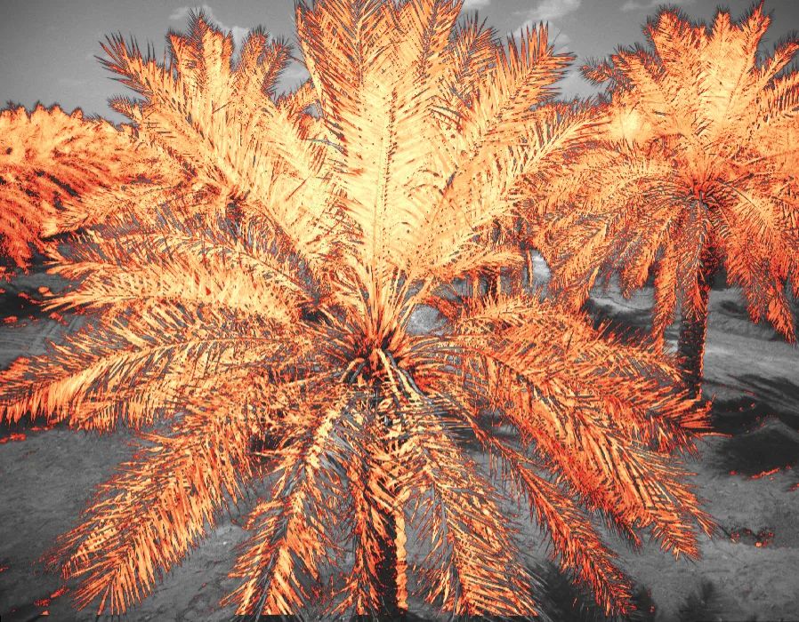 Case studyA 9.3 ha date-palm farm: a health reading for every palmRead the case study
Frequently asked questions
Does a multispectral survey tell me why a palm is weak?
No. It shows which palms read differently from their neighbours. The cause, whether irrigation, nutrition or pests, needs a field visit or a lab test.
When is the best time to survey a farm?
We set the flight time by sun height and the state of the crop, and repeat the same timing on later surveys so the comparison holds.
Can you deliver raw data only?
Yes. We can deliver the raw images and reflectance maps only, or the full per-palm analysis with a report.