High-precision cut and fill volume analysis, delivered with certified ±1–3 cm accuracy to support reliable earthwork planning and cost control.
GACA and GEOSA licensed RTK aerial survey for accurate contract settlements. Quantity reports ready for cost estimation across Riyadh.
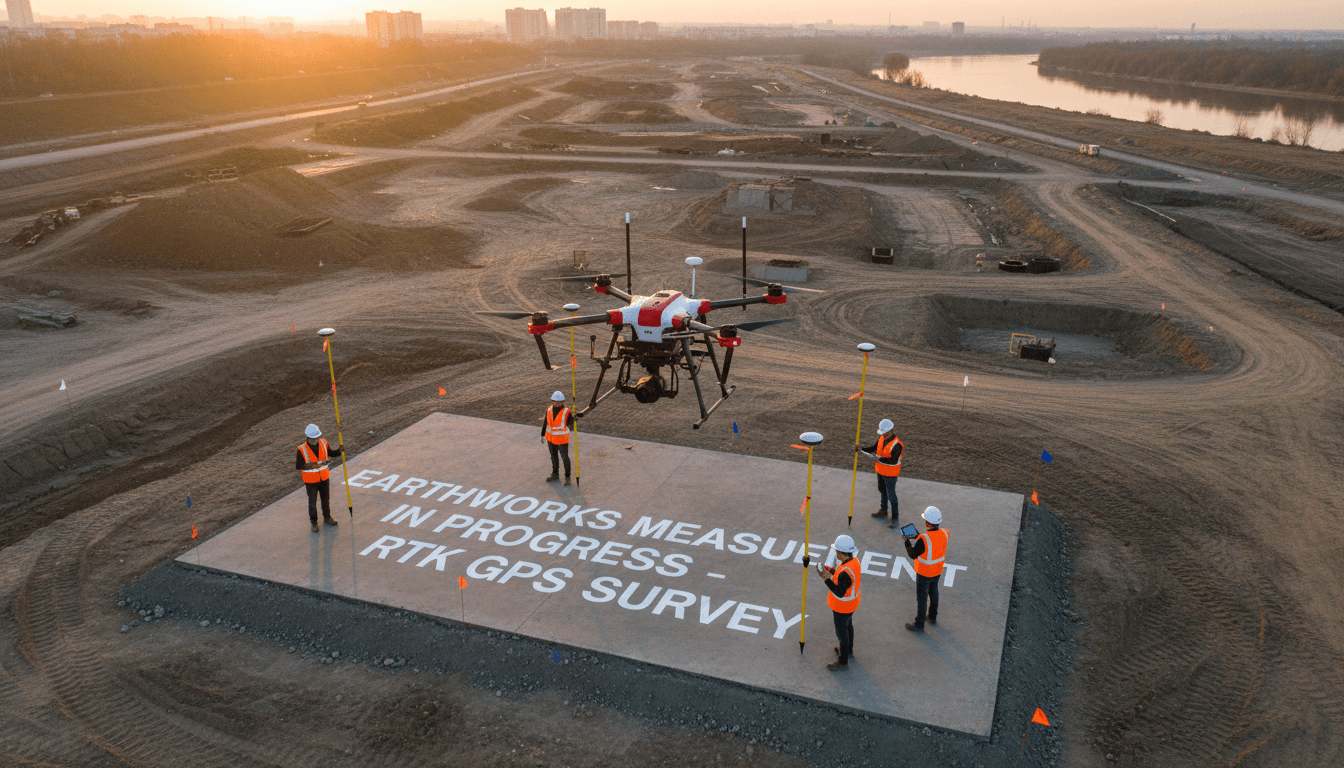
Accurate quantity reports that settle contracts
Manual calculation is slow and leaves room for error and dispute. RTK survey gives you precise numbers within days, with reliable data that settles quantity takeoffs and closes contracts with confidence.
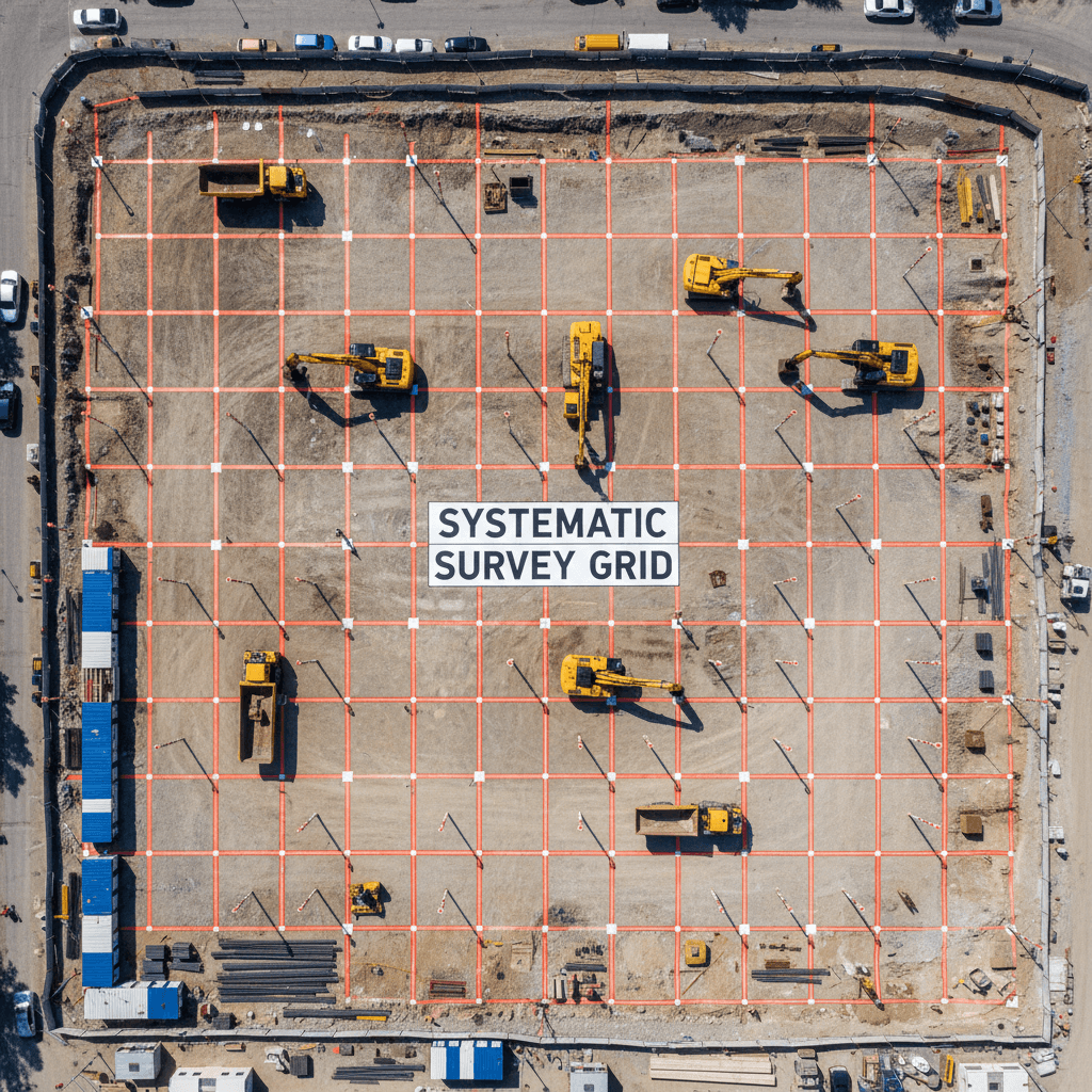
Advanced Flight Path Planning
We establish precise site boundaries and engineer a flight path that systematically covers the entire area, including overlapping passes that eliminate data gaps. Terrain variations are fully accounted for, with altitude adjustments built into the route to maintain consistent ground sampling distance. This ensures comprehensive, accurate, and repeatable data capture across every project.
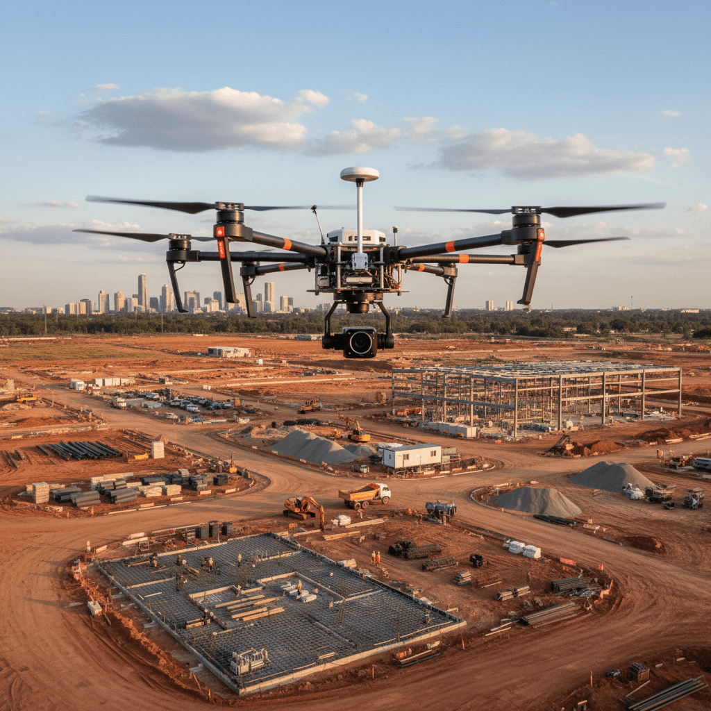
RTK Drone Flights
We deploy RTK aerial survey missions that capture site data with centimeter-level accuracy, delivering high-quality results in record time.
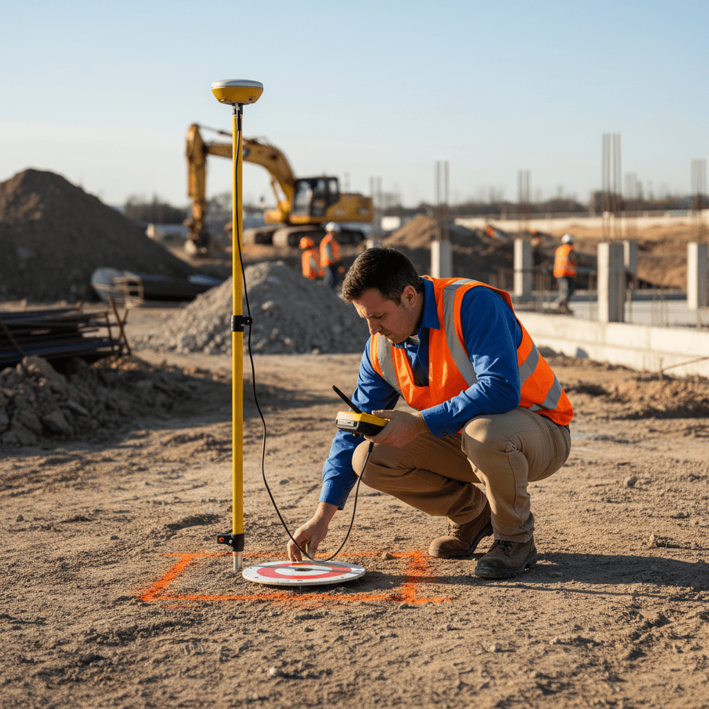
GCP Ground Validation
We place calibrated ground control points and measure them precisely to tie aerial data to real-world coordinates, reducing the margin of error to an absolute minimum.
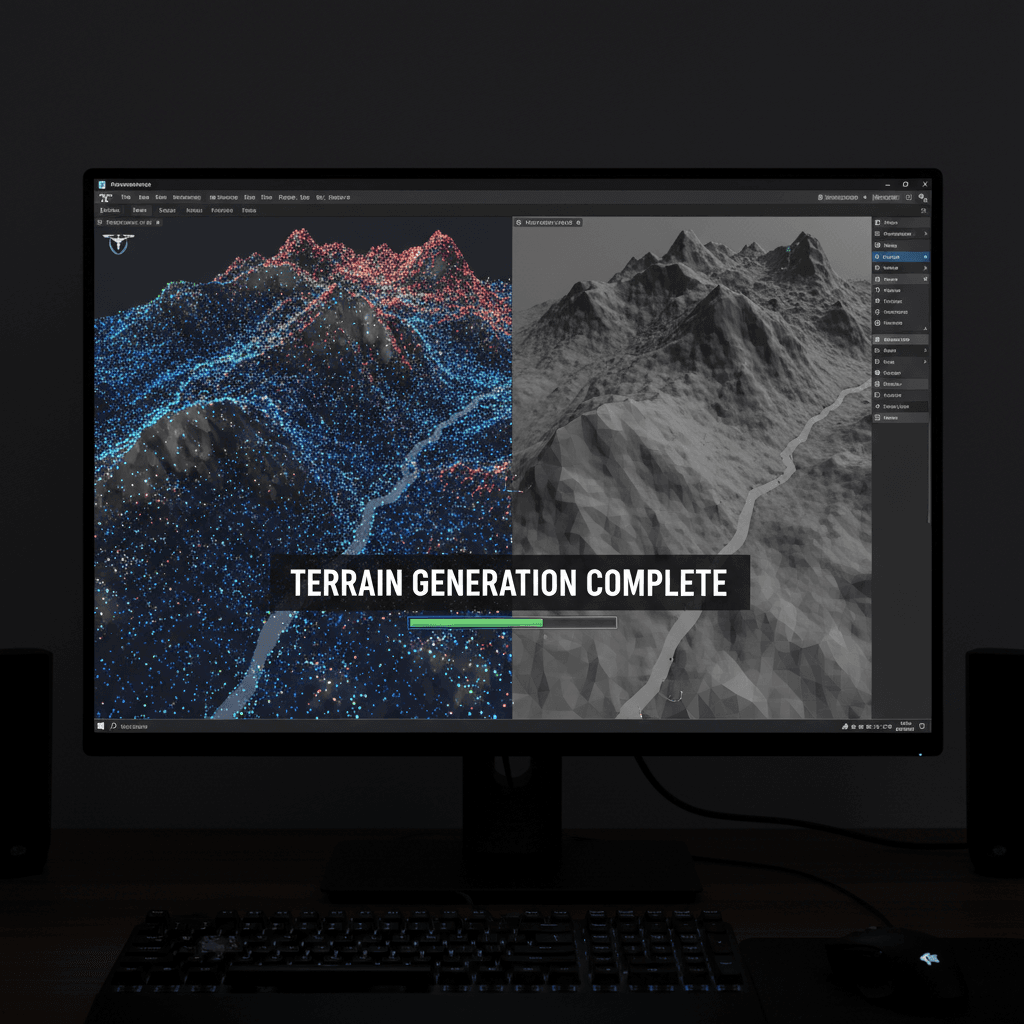
Processing & Analysis
We process data in specialized software, build precise 3D digital models, and calculate cut and fill volumes with exceptional accuracy.
Request the quantity report your project needs
Receive precise quantity takeoffs, 3D models, and AutoCAD and Civil 3D files ready for immediate use in your engineering office.
Cut and Fill Quantity Table
Deliver survey-grade classification for every cubic meter across your site, organized by soil layer and validated with RTK accuracy. Our licensed drone fleet captures high-density point clouds that distinguish topsoil, subsoil, and rock strata, giving your team authoritative data for contract settlements, precise quantity takeoffs, and reliable cut-and-fill reconciliation from groundbreaking through final grading. Whether you are managing excavation progress, approving contractor invoices, or defending claims with verifiable volumes, this level of detail keeps every stakeholder aligned on the same measured reality.

3D Models
Accurate digital terrain model before and after works for volume difference calculation.
AutoCAD and Civil 3D files
CAD layers ready for direct integration with your detailed and computational plans.
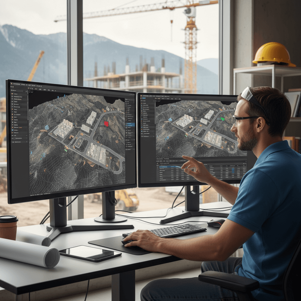
Accurate Contour Mapping
Contour lines with 10–50 cm intervals that define ground elevation with precision at every point.
Comprehensive Quantity Report
Executive summary with quantities and areas, ready for owner review approval.
The most precise isn't always the fastest, but it saves you the most.
Drone surveys save you time and cost — but accuracy is what settles quantity disputes. Here’s what Majed Aerial Solutions delivers.
±3 cm
GCP-Validated Accuracy
Ground control points that settle quantity accuracy on every project.
8
Licensed Drone Fleet
A fleet ready for simultaneous coverage across multiple sites.
Precise Answers for Excavation Projects
Didn't find your answer? Contact us directly and we'll respond within one business day.
Cut and Fill Volume Report, Ready for Cost Estimation
Request your free quote now and receive a precise quantity report compliant with GACA and GEOSA standards. Contact us at +966559977170.