

Centimeter-Accurate Periodic Construction Surveys
Bi-weekly or monthly aerial surveys to document site progress, calculate cut and fill volumes, and compare as-built data to design plans — delivered with ±1–3 cm accuracy in AutoCAD and Revit BIM formats.
Why Construction Projects Require Periodic Aerial Surveys
Construction is more than just phases; it is a legacy built over years. Critical engineering milestones—from foundation pouring to structural completion—are hidden as work progresses. Periodic aerial documentation doesn't just preserve this record; it ensures a reliable visual reference before it is built over.
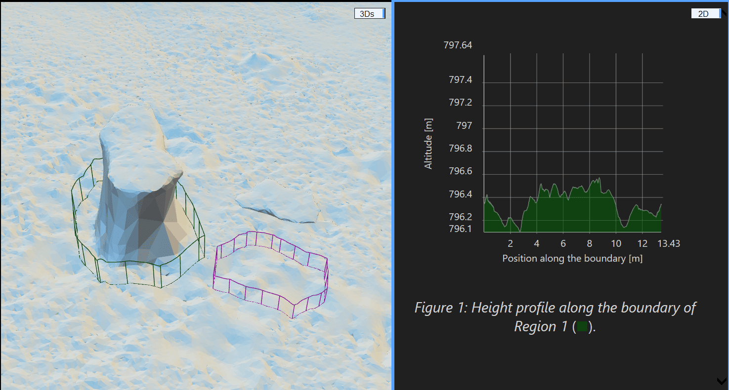
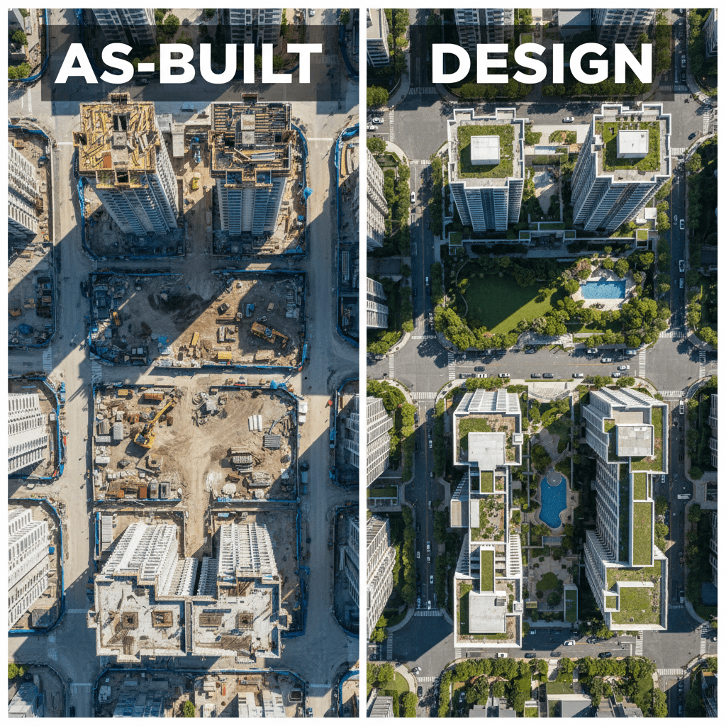
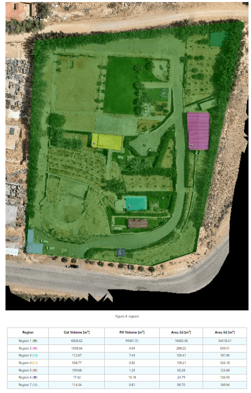
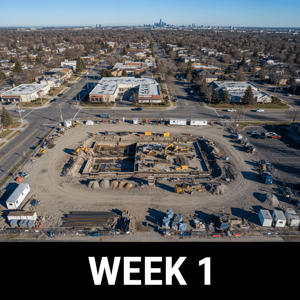
A unified visual record of every project phase with centimeter-level precision.
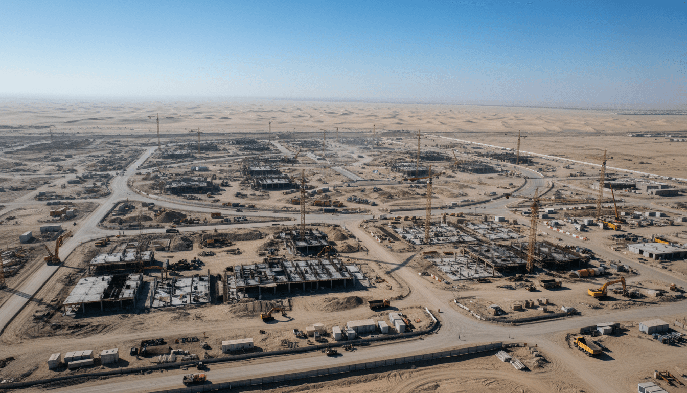
A unified visual record of every project phase with centimeter-level precision.
Integrated Aerial Solutions for Multiple Sectors
We provide specialized aerial surveying services using the latest drone technology to ensure high accuracy and reliable results for all projects.
For Owners & Developers
A periodic visual documentation cycle that creates a reliable record of your investment, a strategic reference for boards, and a valuable asset for future exits or redevelopment.
For Marketing & Corporate Comms
Professional, ready-to-publish content for presentations that refreshes automatically with every site visit, eliminating the need for separate shoots.
For Contractors & Suppliers
Accurately document your field work with timestamps to facilitate handovers with the main contractor and protect your position during audits.
Experience ±1–3 cm Precision
Message us or call directly. We respond to construction project inquiries within one business day in Riyadh and across the Kingdom.
Survey & Engineering Services
Request your first survey for precise design-to-reality comparison
Send your project details today. We will develop a drone monitoring plan featuring ±1-3 cm accuracy and high-fidelity 3D models of your site.