Deliver Projects on a Foundation of High-Precision Digital Models
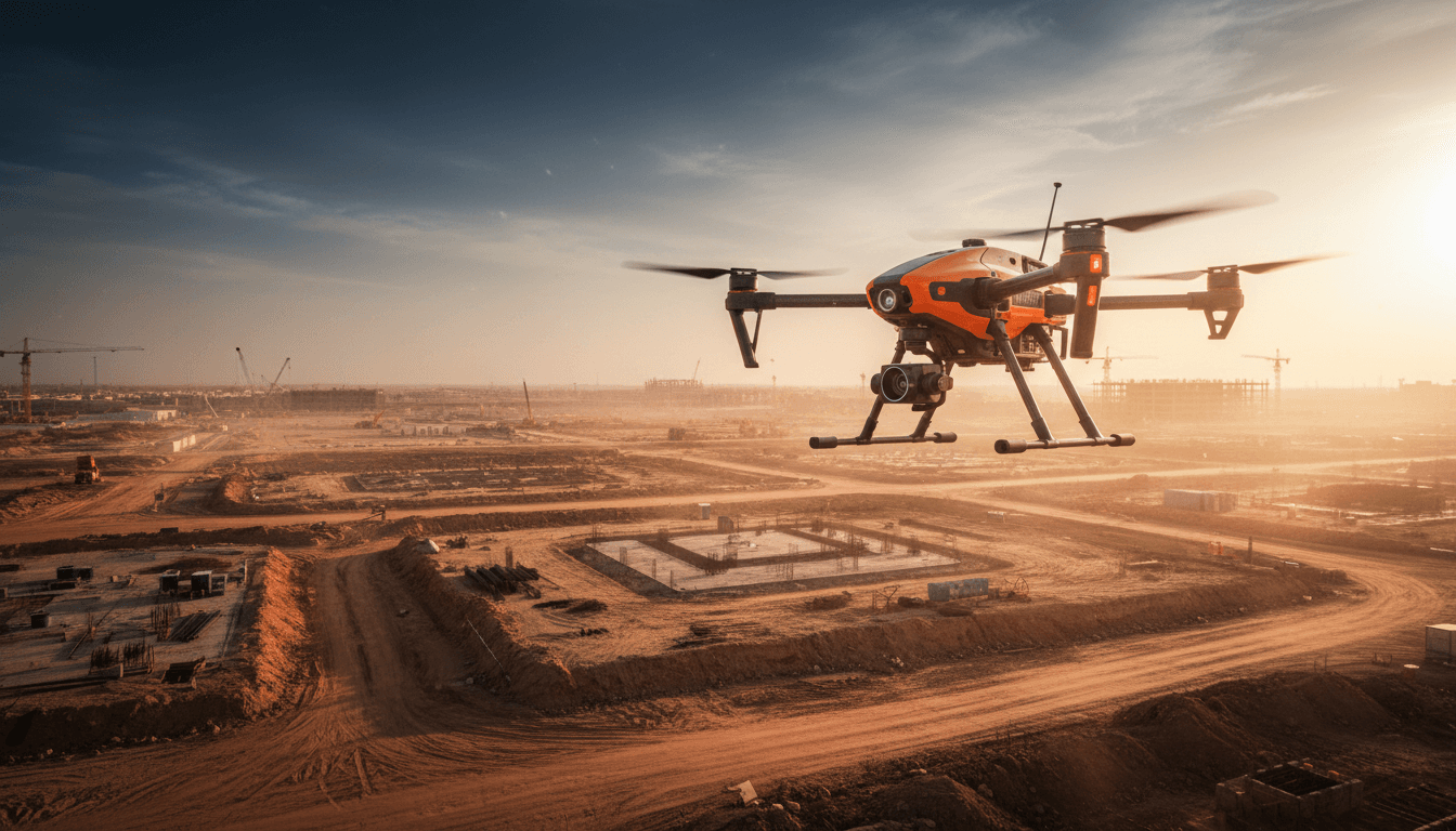
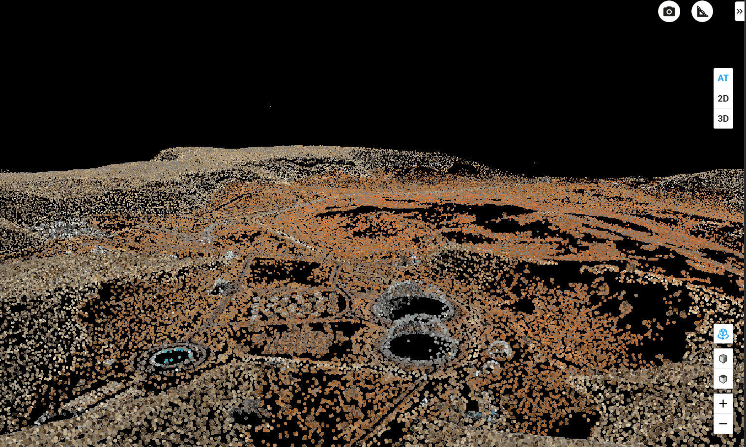
We turn your sites into measurable 3D models using our survey drones. Achieve accuracy within 1–3 cm with ground control points.
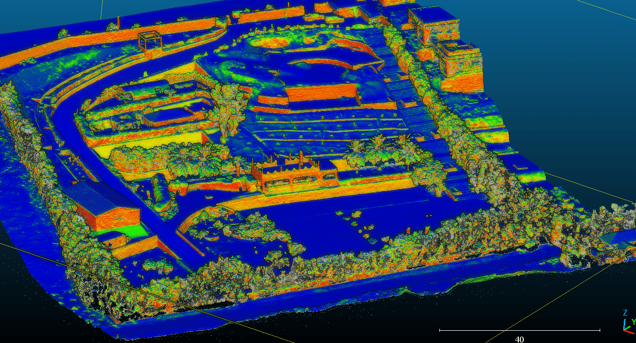
How do you achieve an accurate model?
We use aerial photogrammetry to turn drone footage into precise, measurable 3D models. Every feature here serves a single purpose: reducing uncertainty in your projects.
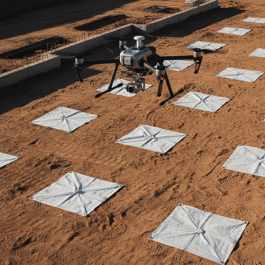
Centimeter Accuracy with Ground Control Points
GCP-validated precision anchors every dataset to real-world coordinates, delivering verifiable accuracy within ±1–3 cm. No approximations, no assumptions — just survey-grade confidence.
True-to-life color and texture
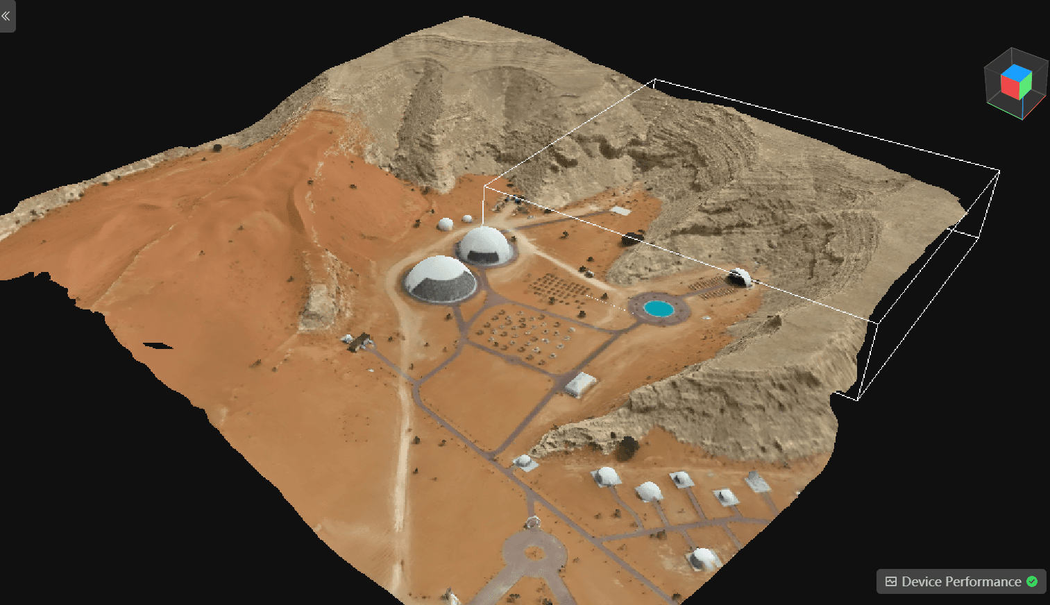
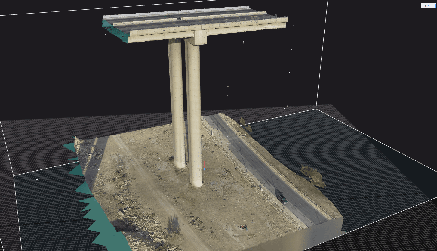
We deliver high-resolution 6K color imagery with uncompromising precision, ensuring that every visual detail is faithfully captured. The resulting models provide an exact, verifiable reproduction of real-world conditions, giving you complete confidence in the accuracy of your data.
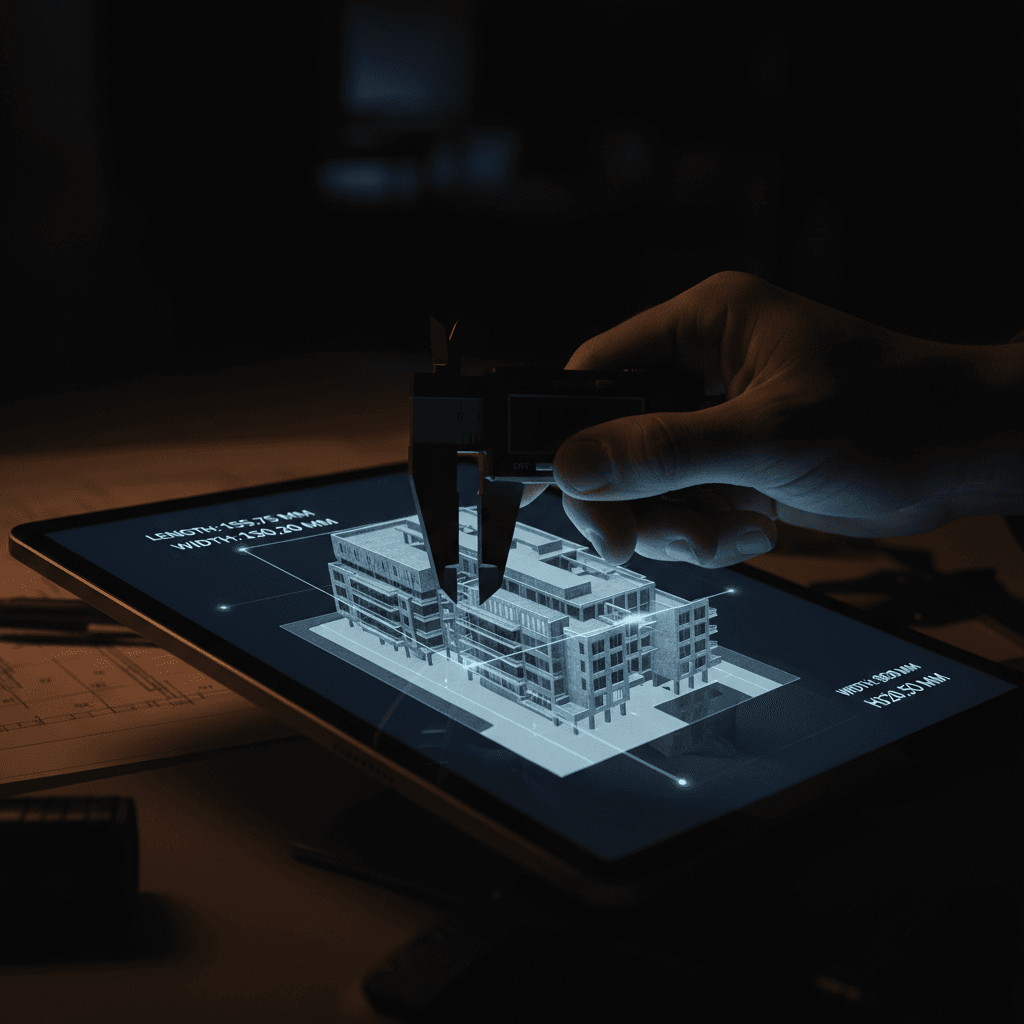
Measurable and analyzable models
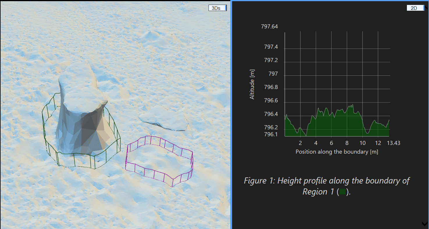
CAD- and BIM-ready deliverables stream your workflow with survey-grade precision. Capture accurate distances, volumes, and areas remotely — eliminating the need for physical site visits.
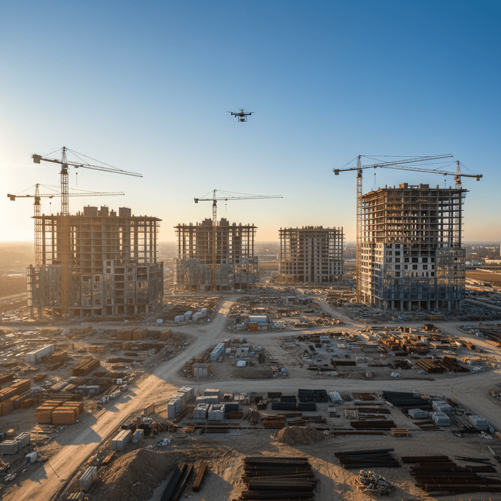
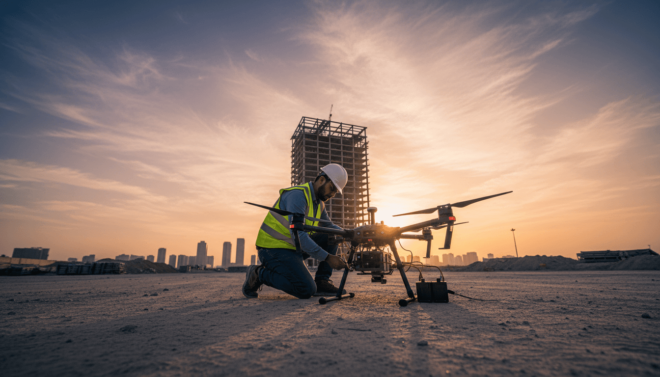
Comprehensive Coverage for Large-Scale Sites
Our fleet of eight advanced aircraft enables us to survey large-scale areas in a single operation, reducing project timelines from days to just hours with uncompromising accuracy.
Rapid Processing
We process survey data on-site using fully licensed geospatial workflows, so there’s no delay between the flight and the production phase. The final model, along with all requested deliverables, is typically ready within 24 to 48 hours — complete, QA-checked, and delivered in the formats your engineering team uses. That means you move from fieldwork to design decisions in days, not weeks.
Precision Construction Stage Documentation
Capture site conditions every week or every month using repeat-flown, survey-grade 3D scans. Our methodology layers millimeter-accurate models over time, making it easy to detect even the smallest deviations. From earthworks to handover, this consistent digital record gives project managers, engineers, and owners the verifiable documentation they need to track progress, resolve disputes, and keep every phase on schedule—without guesswork.
6 Frequently Asked Questions About 3D Photogrammetry & BIM Modeling Riyadh | Majed Aerial Solutions
Browse the FAQ or contact us with any other inquiries.
Request your 3D model today
We’re preparing your quote and will send it within 24 hours. Just share the project location in Riyadh and the approximate site area.