Geospatial Intelligence Insights
Explore our latest articles and expert insights on aerial surveying, satellite imaging, and remote sensing solutions.
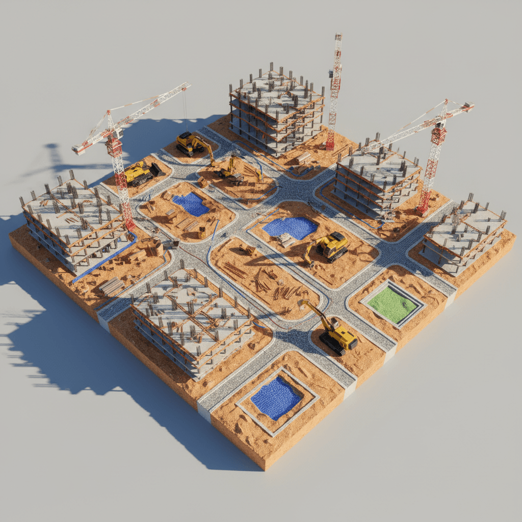
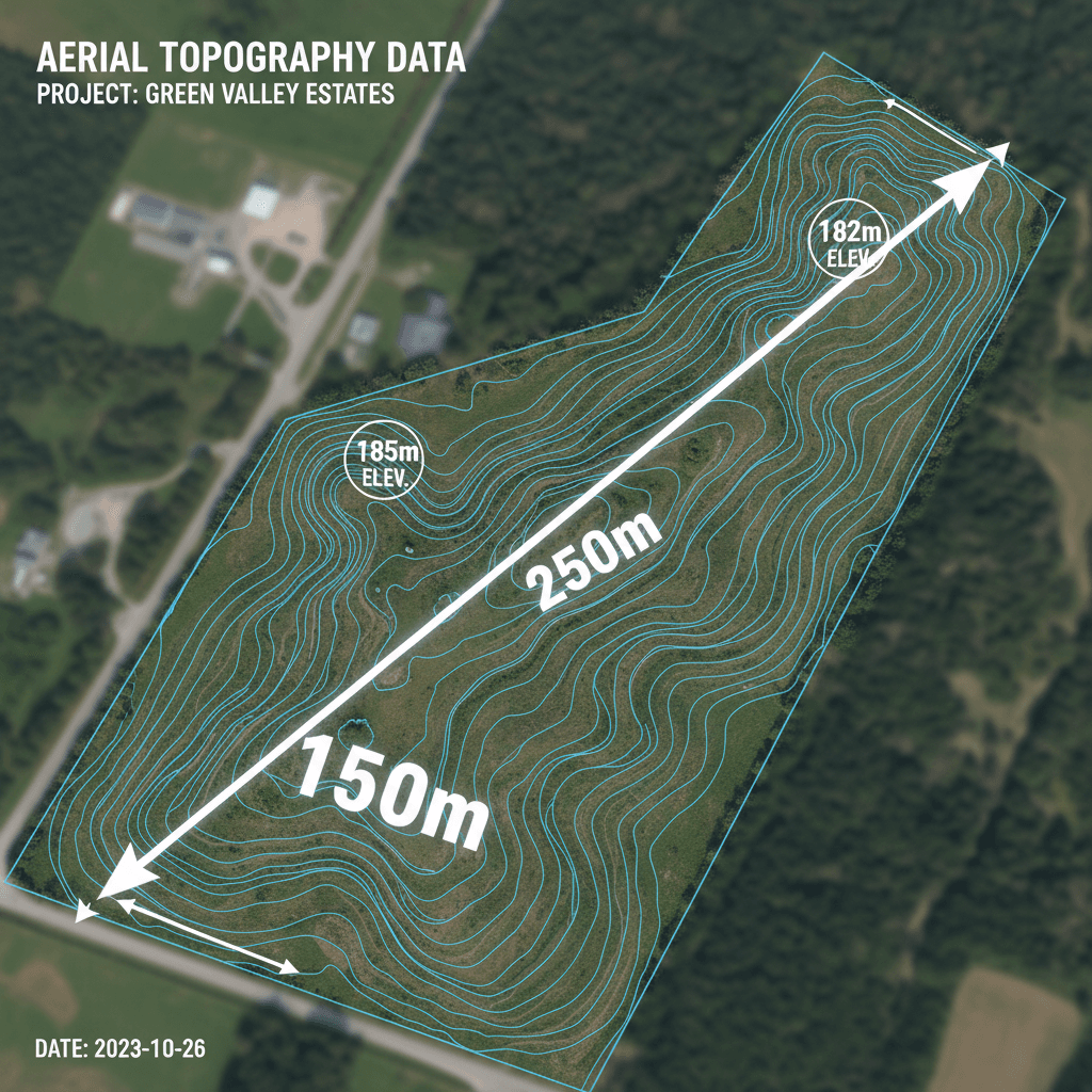
Reality Capture vs Traditional Surveying: When Saudi Projects Need 3D Digital Twins
Traditional surveying often slows down Vision 2030 developments. Learn how drone-based reality capture and digital twins provide the speed and accuracy needed for Saudi giga-projects.
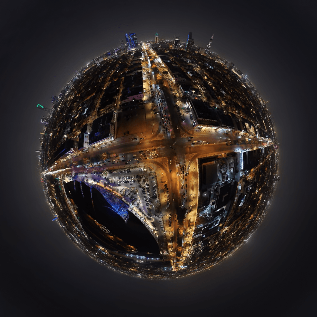
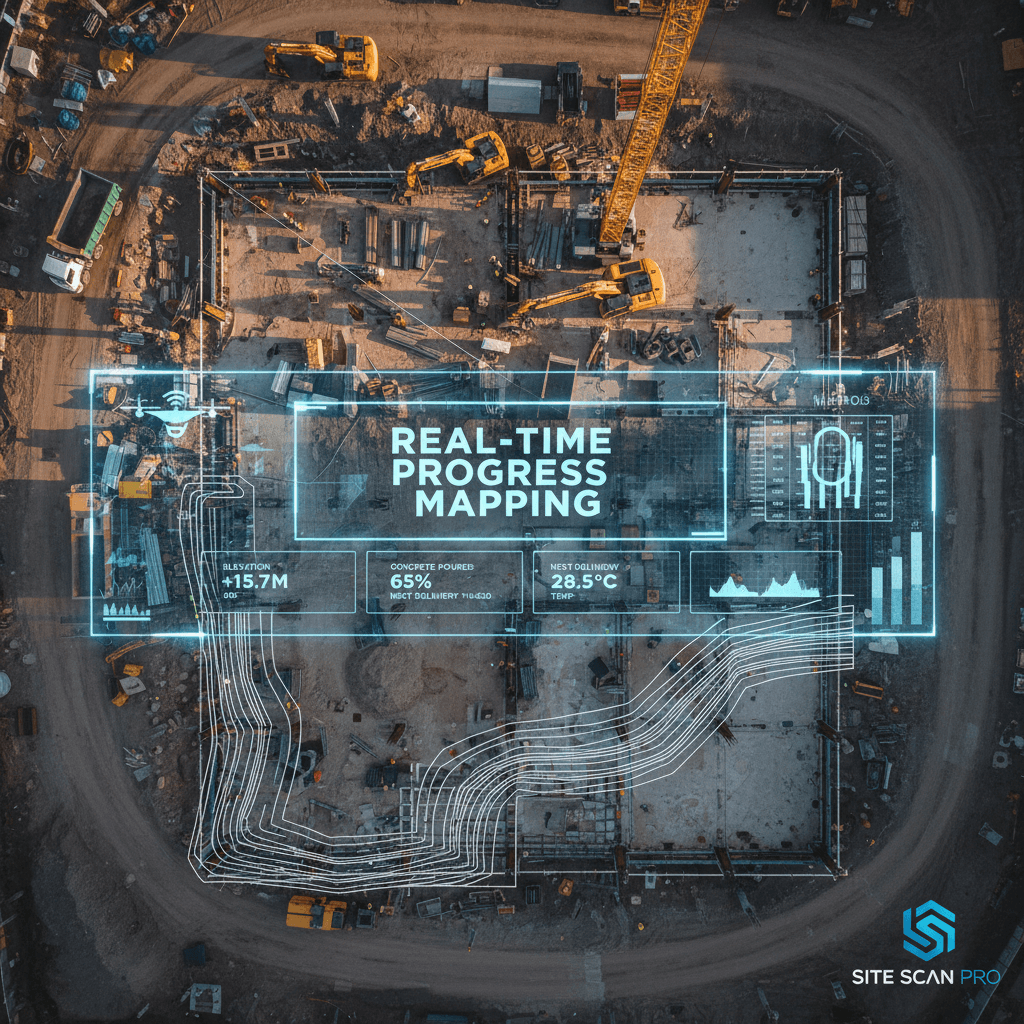
Live Drone Broadcasting Saudi Arabia: Elevating Events and Construction Monitoring
Discover how live drone broadcasting in Saudi Arabia is transforming event coverage and construction site monitoring. Majed Aerial Solutions provides expert real time aerial views.
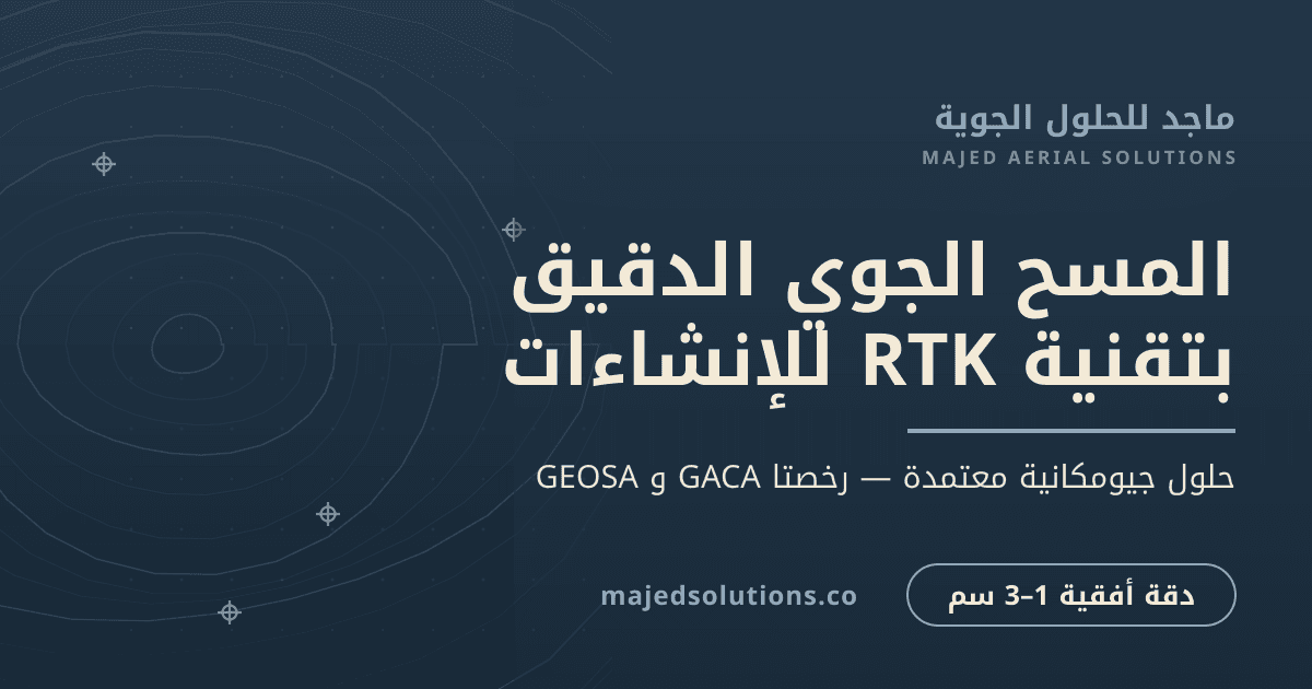
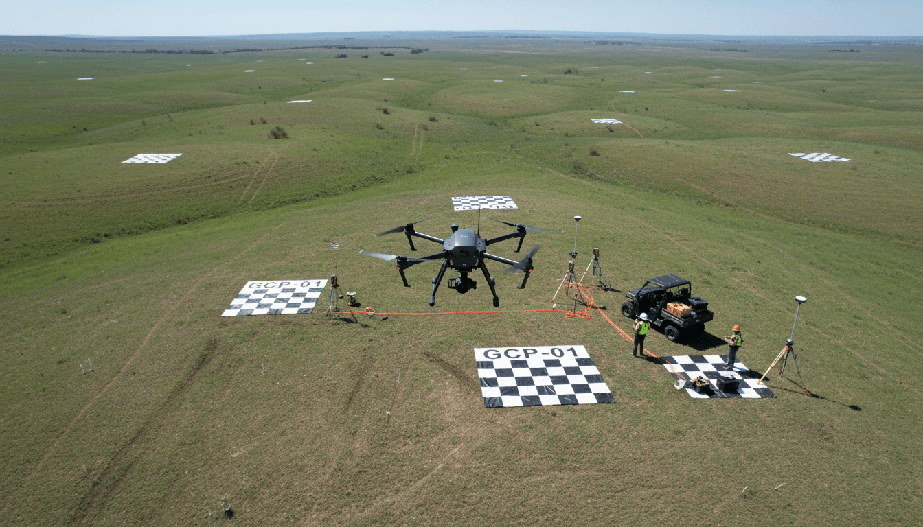
المسح الجوي بتقنية RTK لمشاريع الإنشاء في السعودية: كيف تحقق دقة مساحية قابلة للتنفيذ
يوضح المقال كيف ترفع تقنية RTK دقة البيانات المساحية لتقليل أخطاء التصميم وتسريع تنفيذ المشاريع. تقدم ماجد حلولاً عملية لضمان نتائج قابلة للتنفيذ فوراً.
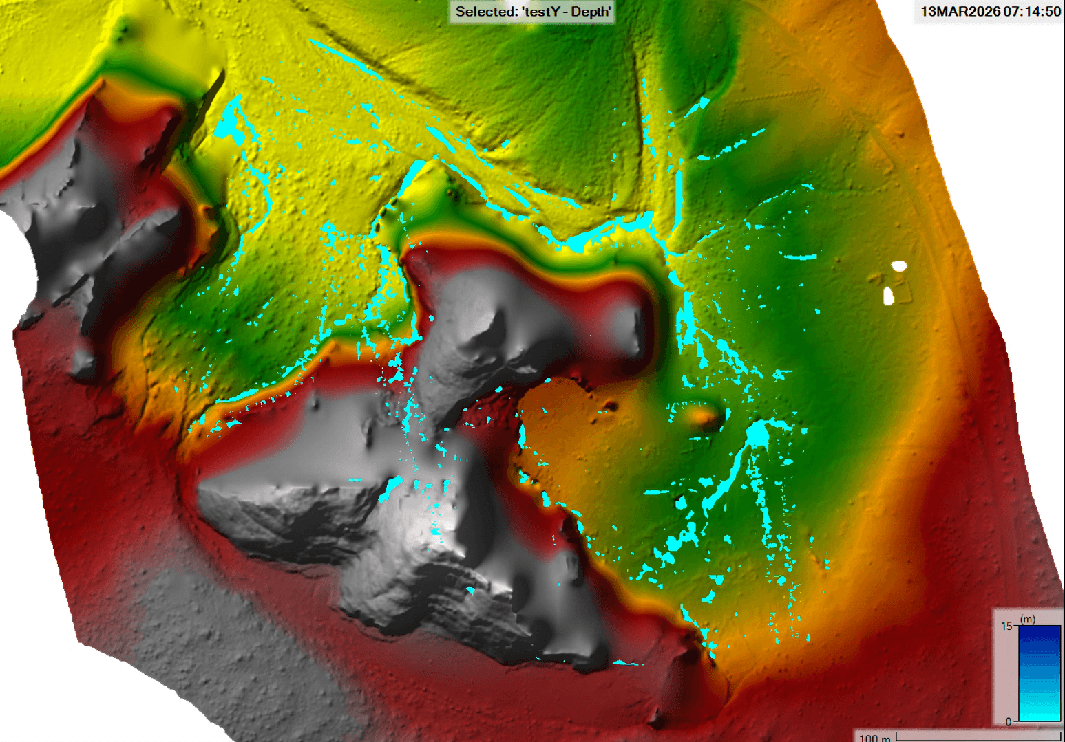
HEC-RAS Drone Hydrology in Saudi Arabia: Advanced Flood Risk Mapping for Infrastructure
Discover how Majed Aerial Solutions uses HEC-RAS drone hydrology in Saudi Arabia to create precise terrain models. This technology ensures accurate flood risk mapping for critical infrastructure.
Drone Services in Riyadh and Saudi Arabia: The Complete 2026 Guide
خدمات الدرون في المملكة العربية السعودية (2026): دليل شامل للمشاريع المحلية والدولية
دقة نظم المعلومات الجغرافية باستخدام طائرات الدرون RTK مقابل نظم المعلومات الجغرافية عبر الأقمار الصناعية لتخطيط المدن والمسوح الحكومية في المملكة العربية السعودية
Discover the role of high-precision drone GIS mapping in Saudi Arabia for government urban planning. This guide covers smart city solutions and data.
Drone RTK GIS vs Satellite GIS Accuracy for Urban Planning and Government Surveys in Saudi Arabia
Explore the precision of drone RTK GIS accuracy vs satellite Saudi Arabia for urban surveys. Learn why Majed Aerial Solutions delivers centimeter level data.
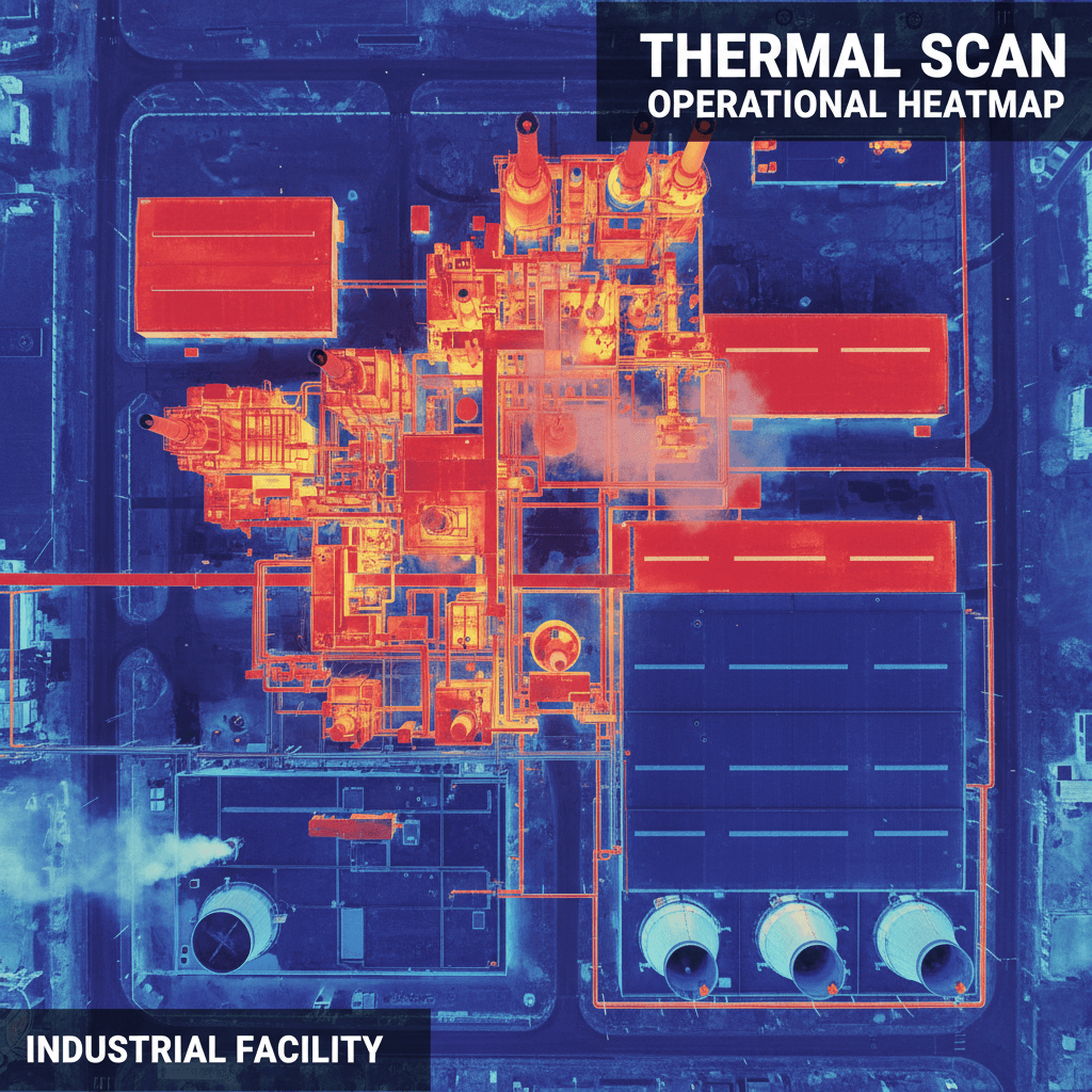
الفحص الحراري بالدرون في السعودية: الألواح الشمسية وخطوط النفط والأصول الصناعية من مشغّل مرخّص GACA في الرياض
تقدم شركة ماجد لحلول الطيران خدمات الفحص الحراري المتقدمة للألواح الشمسية ومنشآت النفط والغاز في الرياض. نستخدم تقنيات الدرون المرخصة لتقليل مخاطر التوقف.
جاهز لتحويل مشروعك؟ ابدأ مع خدماتنا الجوية اليوم
من المسح الجوي عالي الدقة إلى البث المباشر وتقييم البنية التحتية، نوفر حلول جيوفضائية متكاملة تدفع مشاريعك نحو النجاح.