
Majed Aerial Solutions — GACA & GEOSA Licensed Drone Operator
Majed Aerial Solutions is a Saudi-based provider of advanced UAV (drone) technology. Officially licensed by the General Authority of Civil Aviation (GACA) and the General Authority for Survey and Geospatial Information (GEOSA), we deliver high-precision aerial data for engineering, construction, energy, and government sectors. Our operations are backed by a fleet of 8 professional drones and over 3 years of specialized field experience.
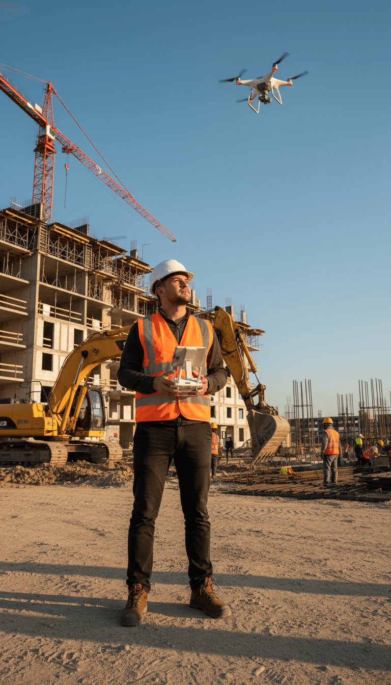
A Geospatial Intelligence Provider, Not Just a Drone Service
Majed Aerial Solutions is a specialized Saudi geospatial provider holding dual licensure from GACA and GEOSA — the highest level of commercial accreditation for drone operators in the Kingdom. Since receiving our GACA license in May 2023, we have built an active fleet of 8 aircraft and an archive of over 6TB of aerial data. We support engineering, construction, energy, and government sectors across Saudi Arabia.
Frequently Asked Questions
If you have further questions, please contact us.
Have a Project in Mind?
Send us your requirements and our technical team will respond shortly.

Explore Our Services
Majed Aerial Solutions: Fully Licensed Saudi Drone Operations
A Riyadh-based Saudi company licensed by GACA and GEOSA. With a fleet of 8 drones and a 6TB+ archive, we have completed over 100 projects nationwide, ranging from aerial surveys to thermal inspections.
8 licensed drones serving all regions of Saudi Arabia
We hold three official licenses to operate our fleet of 8 professional drones. We deliver our services to every corner of the Kingdom with precision and reliability.