GIS Mapping & HEC-RAS Hydrology | RTK Drone Surveying in Saudi Arabia
RTK-based aerial mapping and GIS data for engineering, infrastructure, and land development across Saudi Arabia. Drone-captured terrain data processed in QGIS and HEC-RAS 2D for drainage modeling, flood simulation, watershed analysis, and canopy height mapping — all validated with GCPs for ±1–3 cm accuracy. Engineering-grade deliverables exportable to AutoCAD, ArcGIS, and Revit BIM. GACA-licensed (UA-38575) and GEOSA-accredited.
RTK Aerial Mapping, GIS Data & HEC-RAS Hydrology Services
We turn aerial survey data into interactive GIS maps, 3D terrain models, and HEC-RAS hydrological reports — built on RTK drone surveys with ±1–3 cm accuracy validated by ground control points. Serving engineering, construction, energy, and government sectors across Saudi Arabia.
RTK Drone Surveying & Topographic Mapping
High-precision RTK aerial surveys delivering ±1–3 cm accuracy with GCP validation for topographic mapping, contour generation, and terrain extraction across Saudi Arabia.
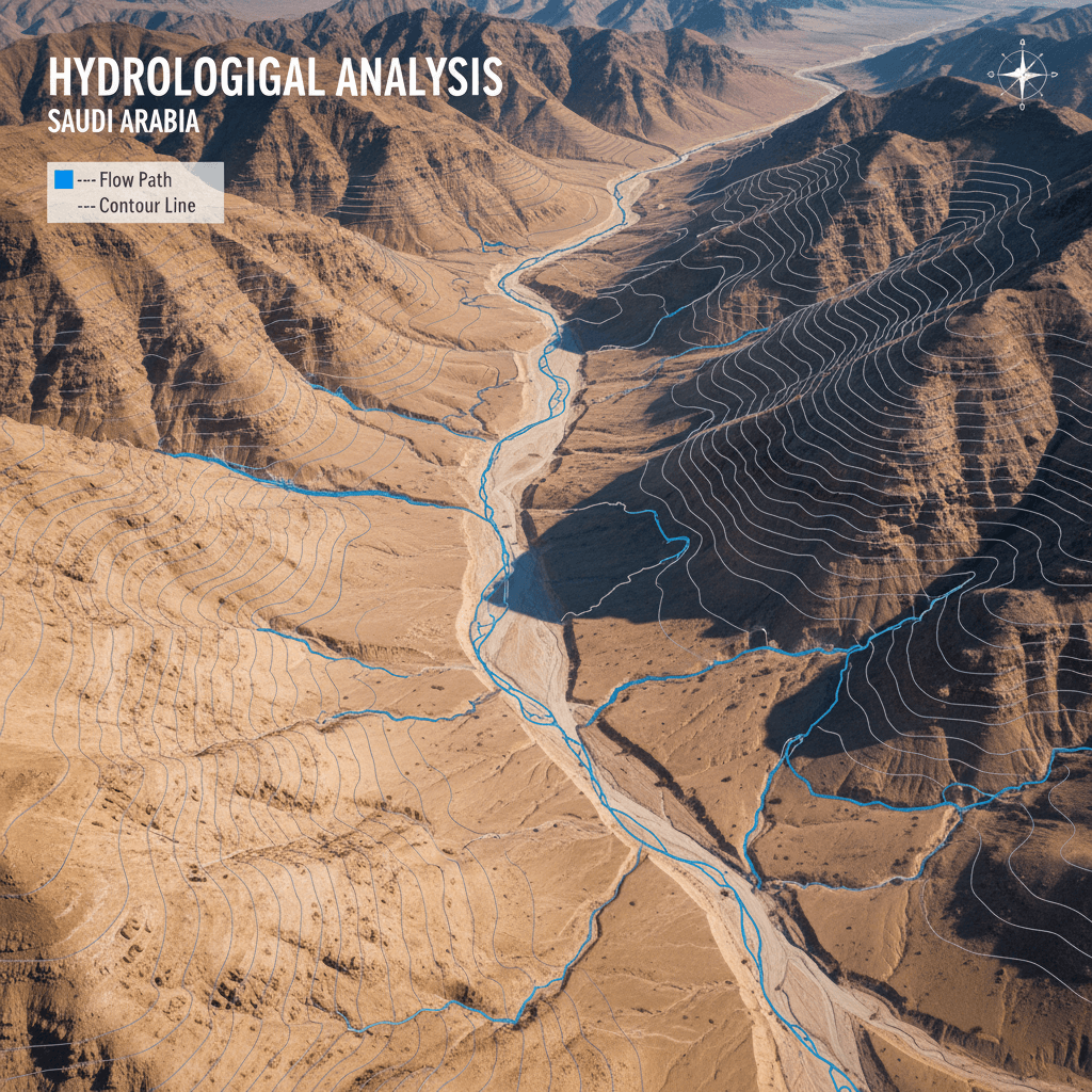
Custom Interactive Maps
Seamlessly integrate real-time aerial data with hydrologic modeling to generate authoritative flood risk assessments, analyze watershed dynamics, and evaluate terrain runoff—all within a single, comprehensive geospatial intelligence dashboard.
GIS Mapping & Spatial Analytics
Terrain extraction, slope analysis, watershed delineation, and GCP-validated ground control matching — exportable to ArcGIS, QGIS, and AutoCAD for engineering and planning teams.
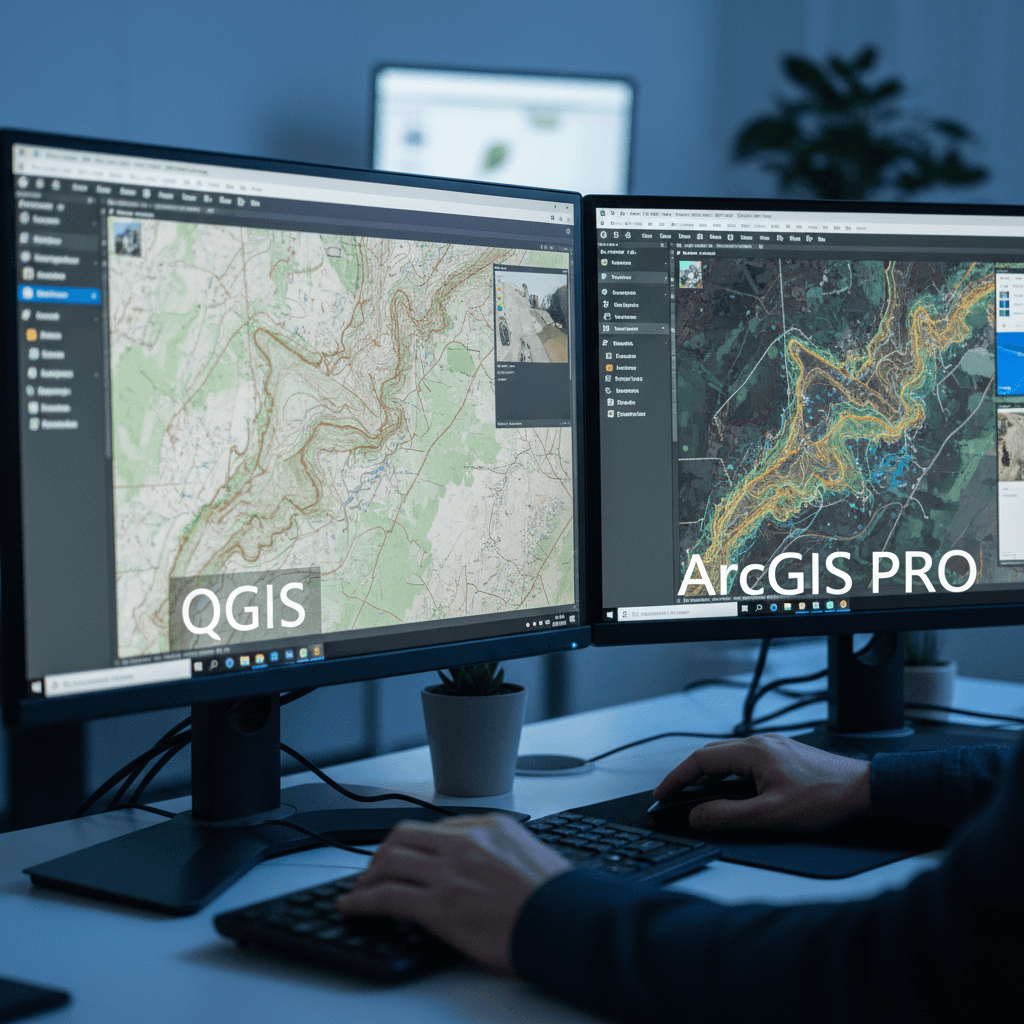
3D Terrain Model
High-Precision DEM & Measurable 3D Model
Ready‑to‑use spatial data
Direct export in SHP, GeoJSON, and TIFF formats compatible with your systems
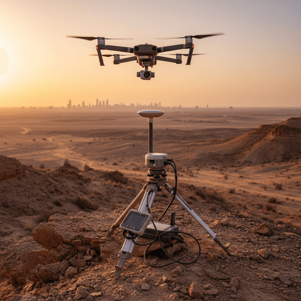
Maps drawn by sensors
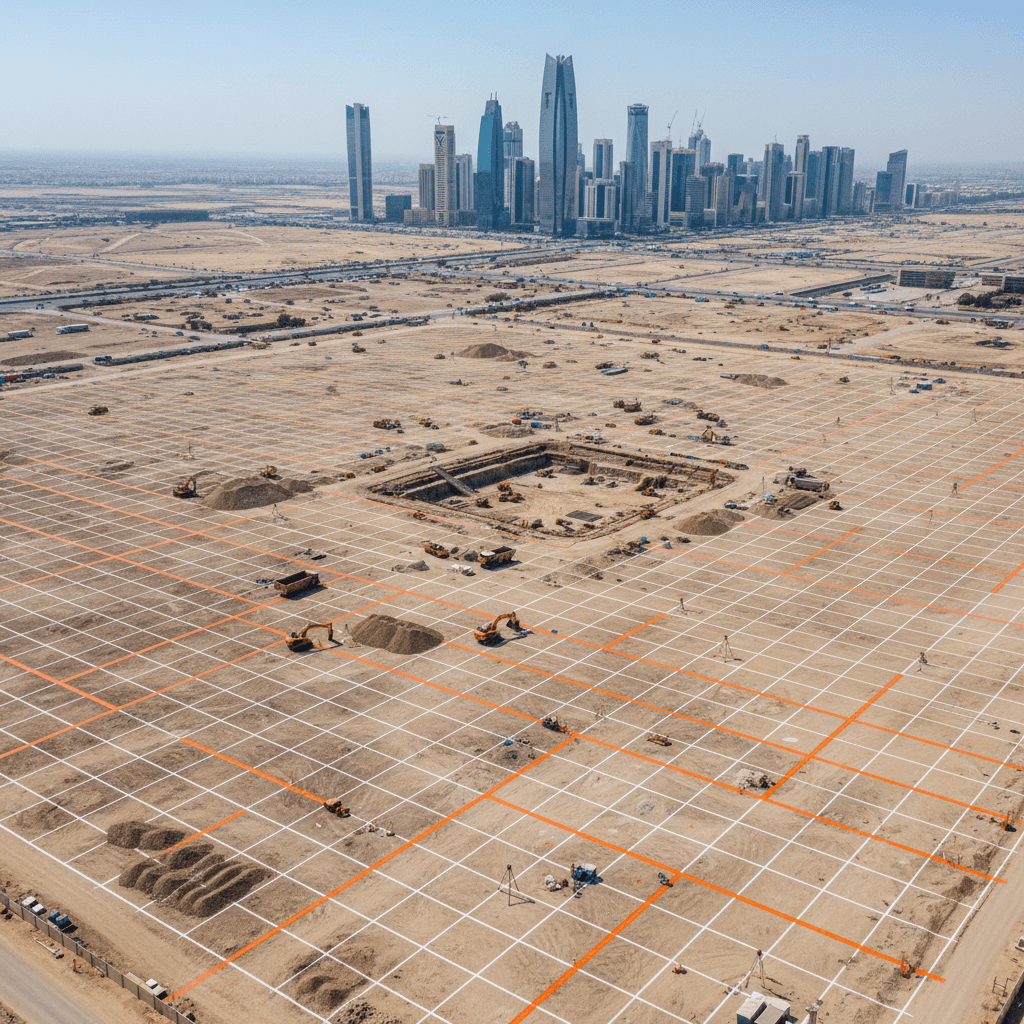
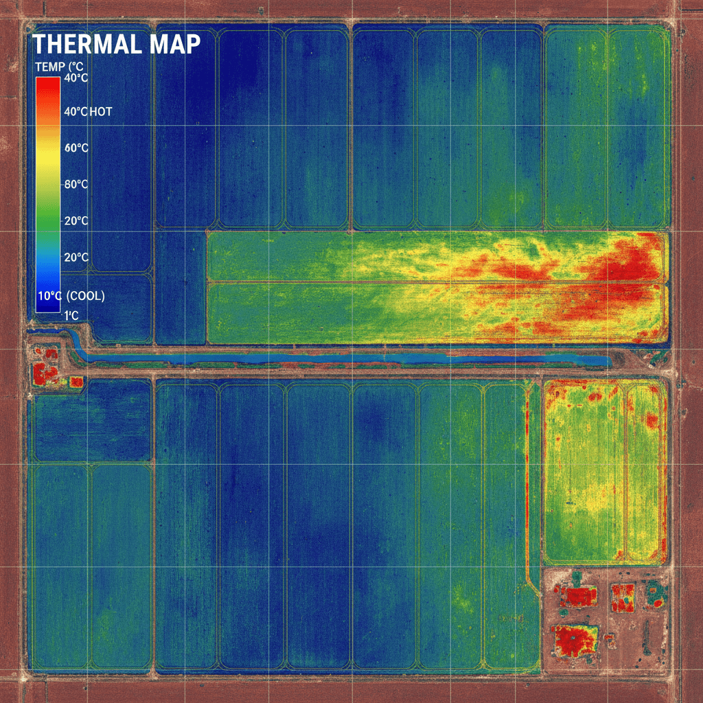
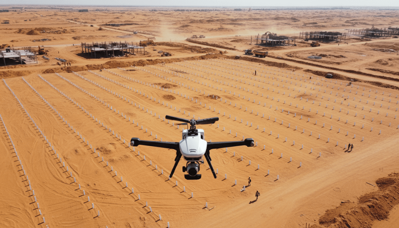
Precision aerial captures and digital models from our surveys on real projects across the Kingdom.

Does your next project require RTK-precise aerial mapping and GIS data?
We deliver professional-grade digital maps, 3D terrain models, and HEC-RAS hydrological reports — dual-licensed by GACA (UA-38575) and GEOSA for guaranteed ±1–3 cm accuracy and full regulatory compliance across Saudi Arabia.