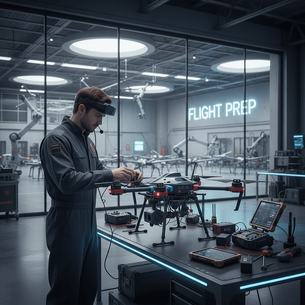
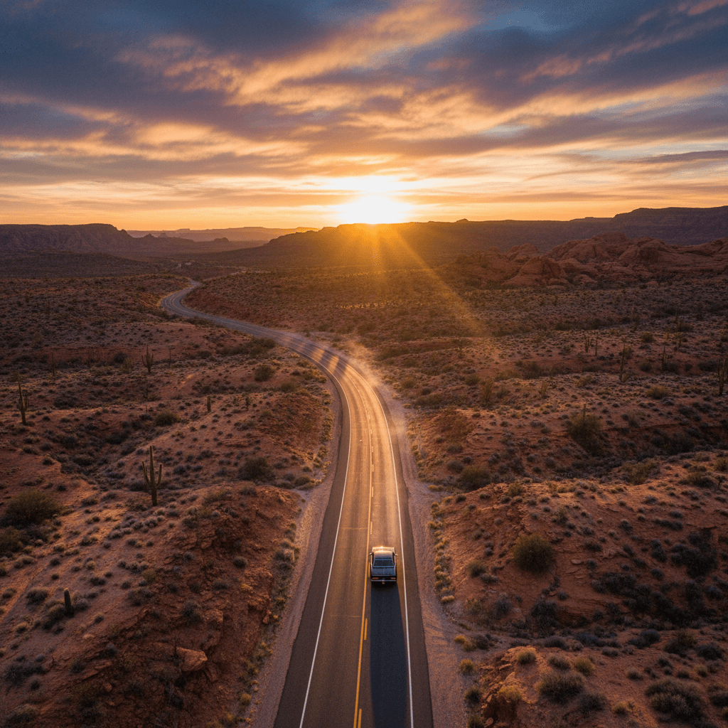
GACA & GEOSA Licensed Drones For All Your Aerial Needs in Riyadh
RTK surveying with ±1–3 cm precision, radiometric thermal imaging, 6K live broadcasting, and 3D modeling — powered by a specialized 8-aircraft fleet serving engineering, construction, energy, and infrastructure projects across the Kingdom.
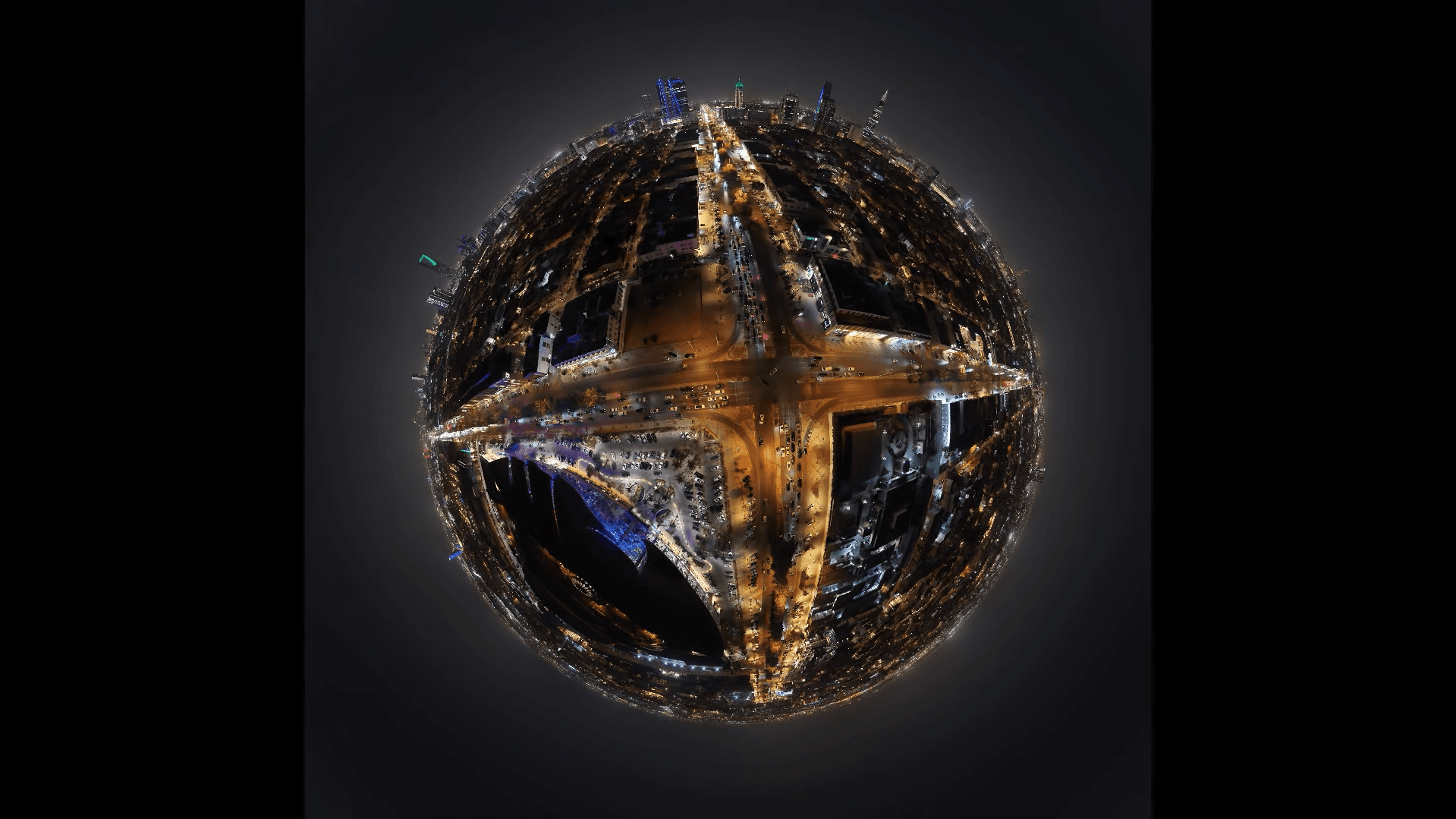
6K Aerial Cinematography
High-resolution 6K imagery and video with advanced stabilization for professional projects.
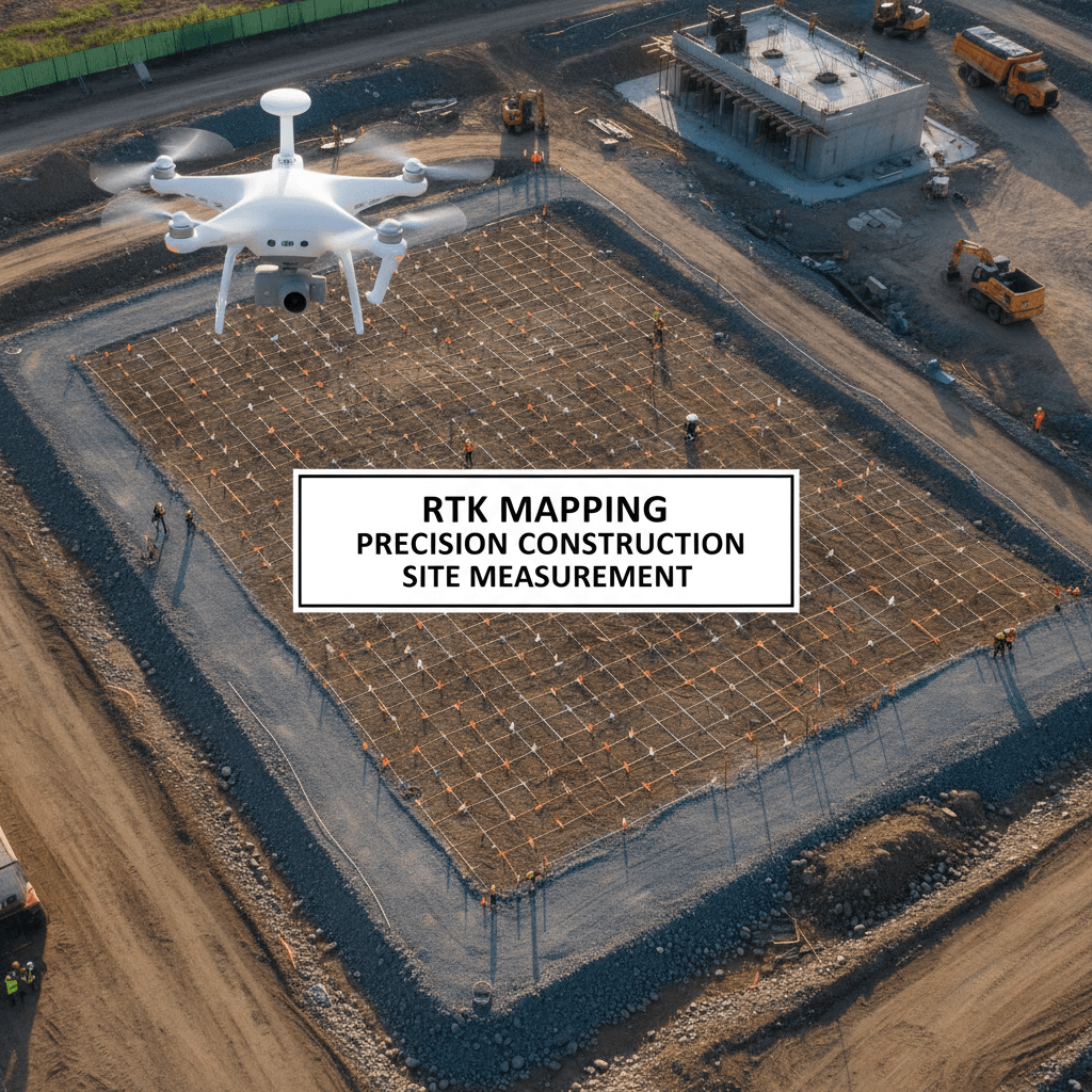
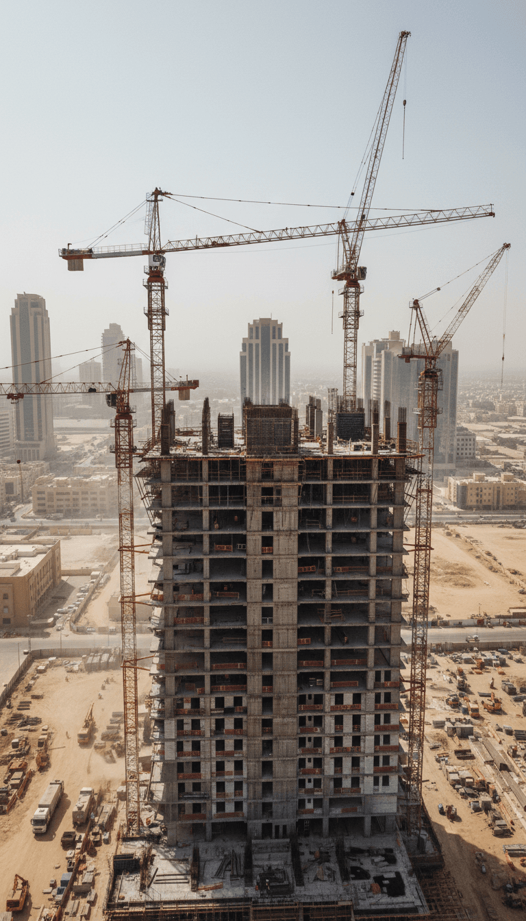
RTK Geodetic Surveying
High-accuracy surveying with ±1–3 cm error margin, validated with ground control points for engineering and construction projects.
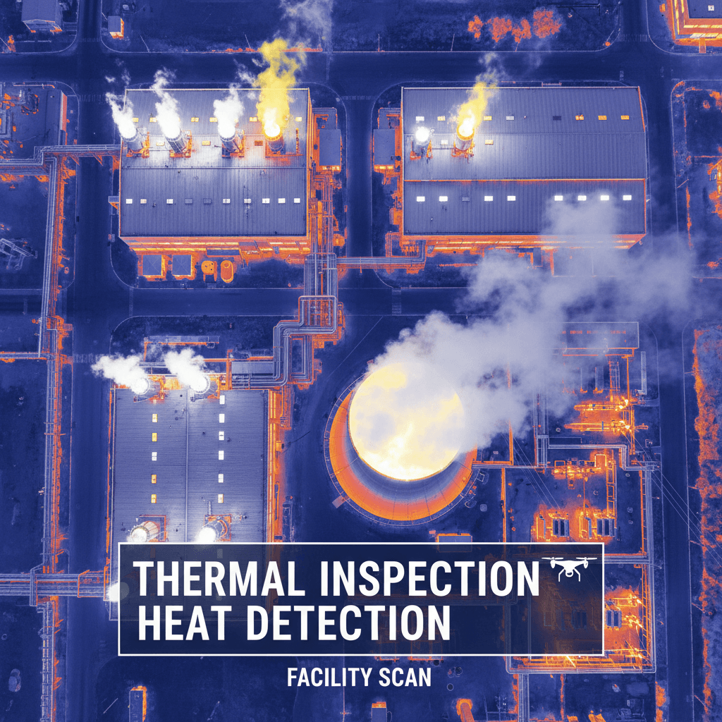
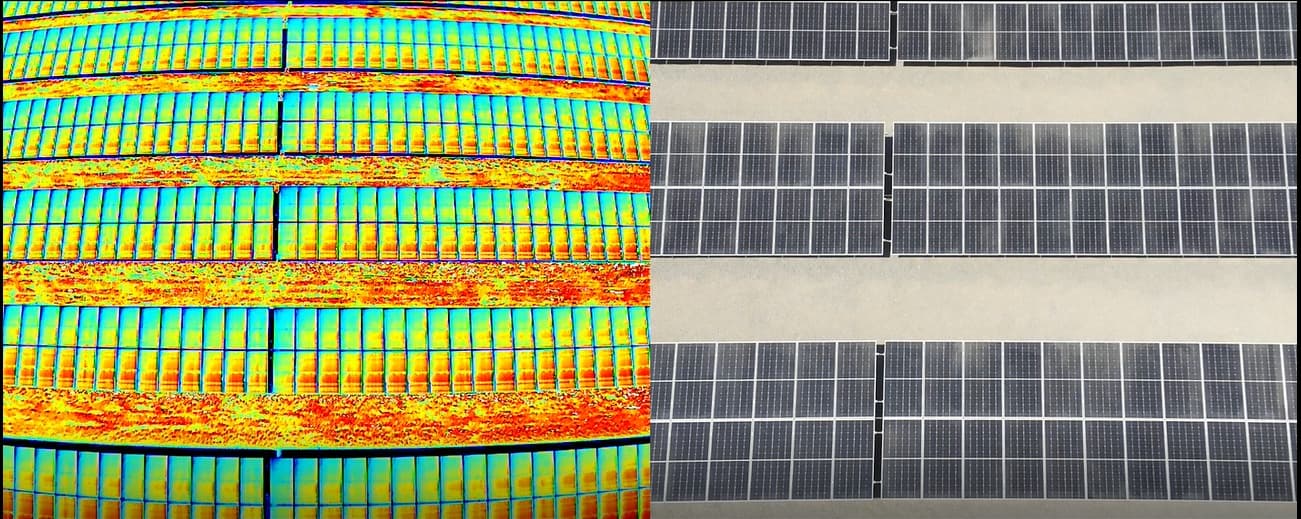
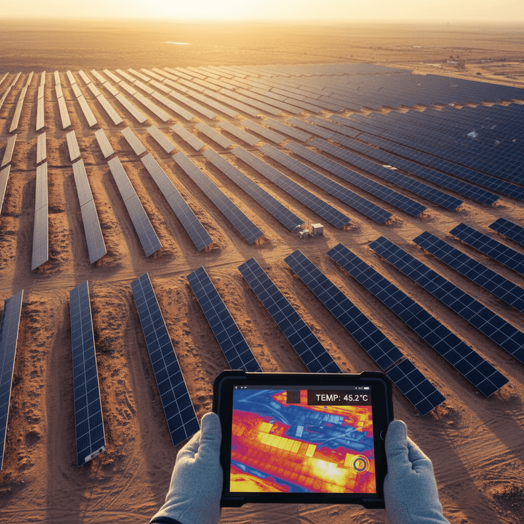
Thermal Inspection
Advanced radiometric thermal inspection for detecting faults and environmental issues in facilities and infrastructure.
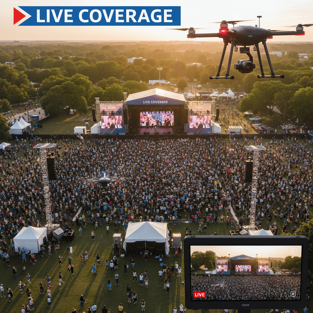
Live Broadcast
Professional live streaming services for corporate events, conferences, and media productions with broadcast-grade aerial video.
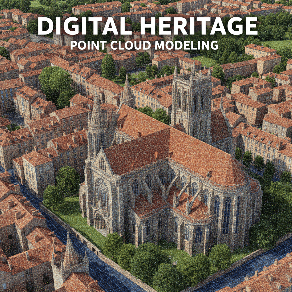
3D Photogrammetric Modeling
Precision 3D photogrammetric models engineered to support rigorous project analysis and strategic planning.
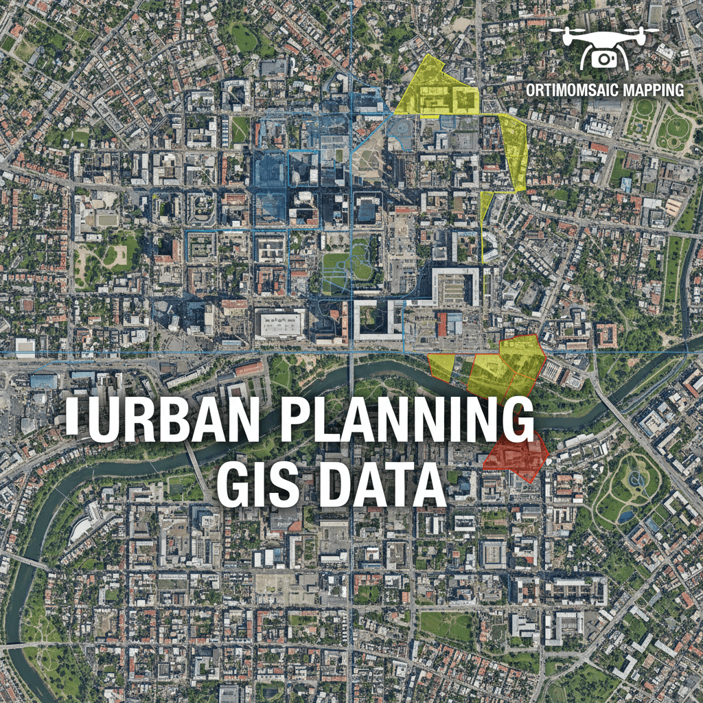
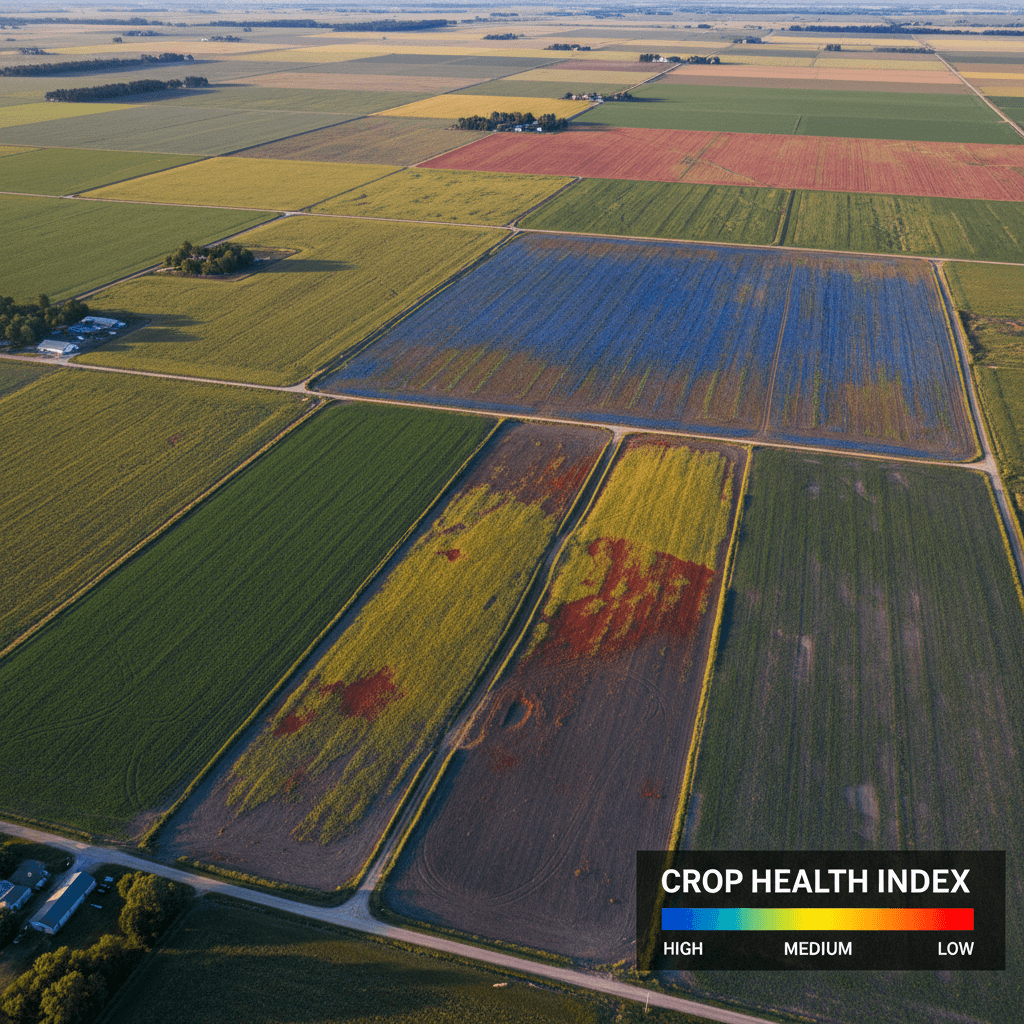
Orthomosaic Maps
Precision-engineered orthorectified aerial maps delivering verified geospatial accuracy for engineering and planning teams.
Do you have a project that requires Aerial Photography or precise Aerial Surveying?
Tell us about your needs — we’ll respond within one business day with a clear, no-obligation proposal.
Address
Kingdom Of 2353 Ali Ibn Muhammed Albatalusi, Tuwaiq, Riyadh 14927, Saudi Arabia
Get directions