
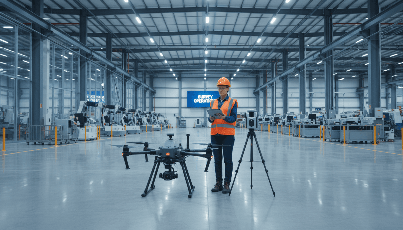
Dual-Licensed Professional Fleet
Licensed by the General Authority of Civil Aviation (GACA) and General Authority for Survey and Geospatial Information (GEOSA). Operating a fleet of 8 drones with survey accuracy up to ±1–3 cm.
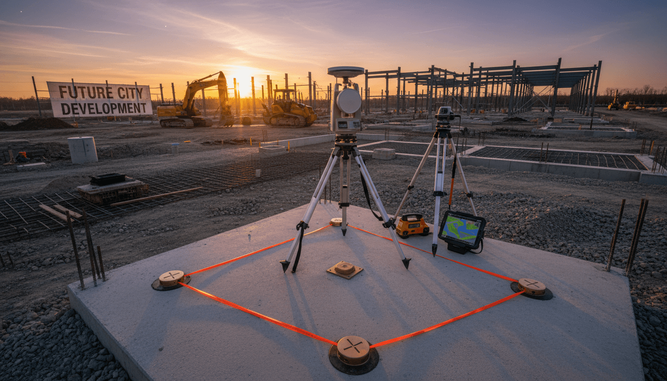
Three active, fully certified operational licenses.
We operate with full regulatory licensing for aerial surveying, live broadcasting, and thermal inspection — delivering professional geospatial services with complete compliance.
General Authority of Civil Aviation License
UA-38575: Drone Operating Permit for Surveying and Industrial Inspection.

General Authority for Survey and Geospatial Information License
GEOSA: Specialized accreditation in geospatial services and precision surveying with advanced RTK technologies.
General Authority of Media Regulation License
GAMR License No. 646781: Certified for live broadcast operations and 6K cinematic media production.
Dual Accreditation Means Reliable, End-to-End Quality
Majed Aerial Solutions holds a GACA license (UA-38575) and a GEOSA license — guaranteeing full technical and legal compliance. This sets us apart from ordinary vendors and proves our commitment to engineering precision and transparency.
Specialized Drones for Surveying, Inspection, and Production
Eight licensed professional drones deployed across high-precision aerial surveying, thermal inspection, and cinematic production platforms.
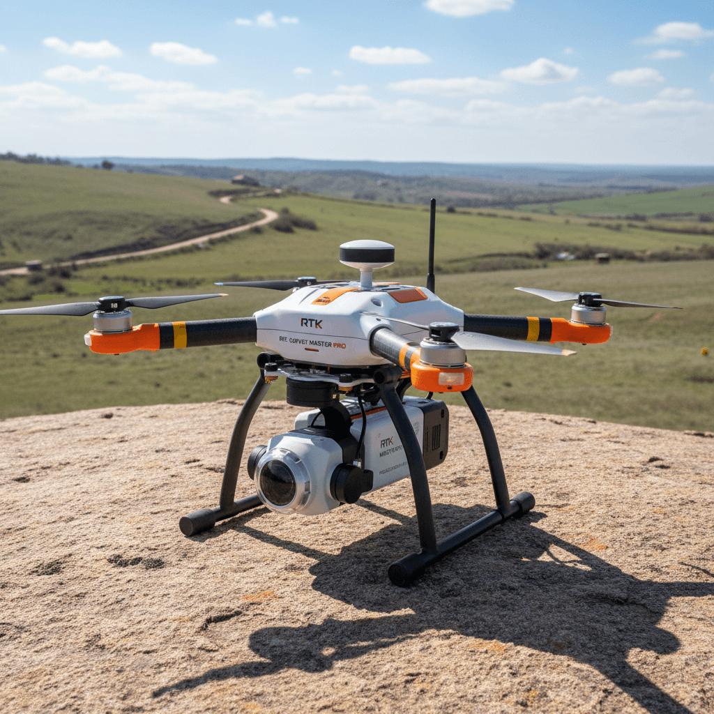
Aerial Survey Platforms
RTK drones deliver centimeter-level accuracy with ±1–3 cm precision and advanced ground control point processing.

Radiometric Thermal Inspection
Advanced thermal cameras for diagnosing faults and structural issues in infrastructure and industrial facilities.

3D Photogrammetry & BIM Modeling Riyadh | Majed Aerial Solutions
Comprehensive photogrammetric processing for accurate 3D models engineered to integrate with your workflow.
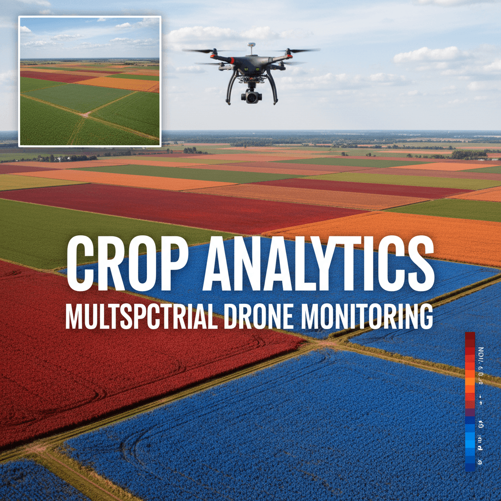
Multispectral Analysis
Multispectral sensing for agriculture and environment, delivering precise crop data to support smarter agricultural decisions.

Cinematic Video 6K
Licensed 6K aerial cinematography with live broadcast, fully authorized by Saudi Arabia’s media and publishing authority.
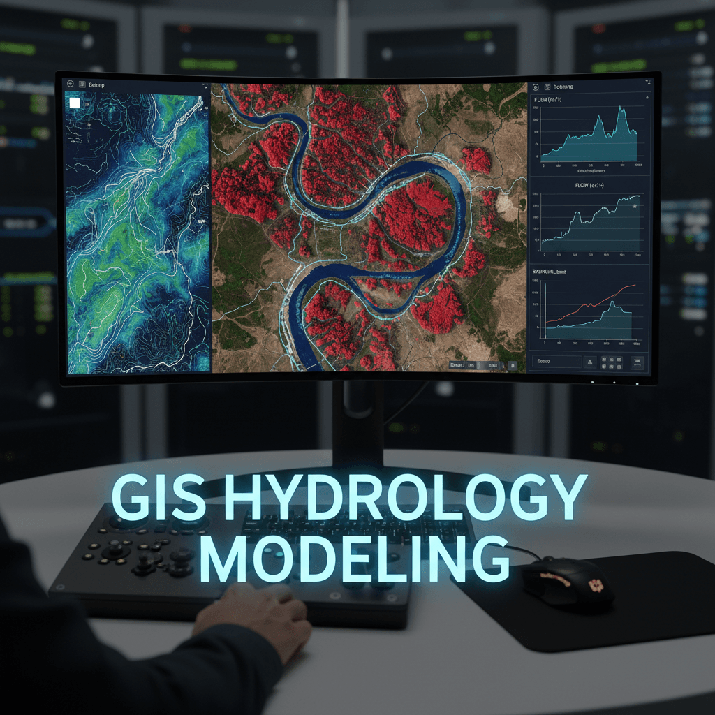
GIS & Hydrological Analysis
GIS analysis and HEC-RAS modeling for government and engineering water and environmental projects.
Advanced Engineering Software for Government Workflows
We use a fully integrated suite of specialized geospatial data processing tools, fully compatible with engineering and government operational systems across the Kingdom.
Check Our Credentials or Request a Technical Quote
Chat with us on WhatsApp to verify our credentials or get a tailored quote for your project.