

Aerial Thermography for Critical Infrastructure
We provide precise aerial thermographic inspection services across Riyadh, identifying concealed defects, thermal inefficiencies, and structural irregularities to support critical engineering, energy, and infrastructure operations.
Detect thermal anomalies with precision. Ensure operational integrity.
We deliver precision thermal intelligence for infrastructure and industrial assets through advanced drone-mounted radiometric sensors. Designed to perform reliably across Riyadh’s most demanding environments, our inspections identify hidden heat anomalies, structural vulnerabilities, and energy loss with uncompromising accuracy, providing actionable insights without operational disruption.
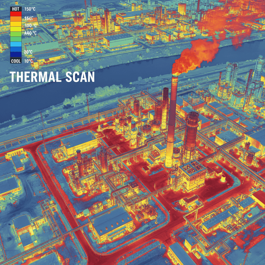
Thermal Drone Inspection Across Saudi Arabia
Delivering engineering-grade radiometric thermal inspection for solar farms, pipelines, electrical infrastructure, and industrial facilities. We identify and document critical thermal anomalies invisible to standard visual inspection, providing authoritative intelligence for asset integrity and preventive maintenance.
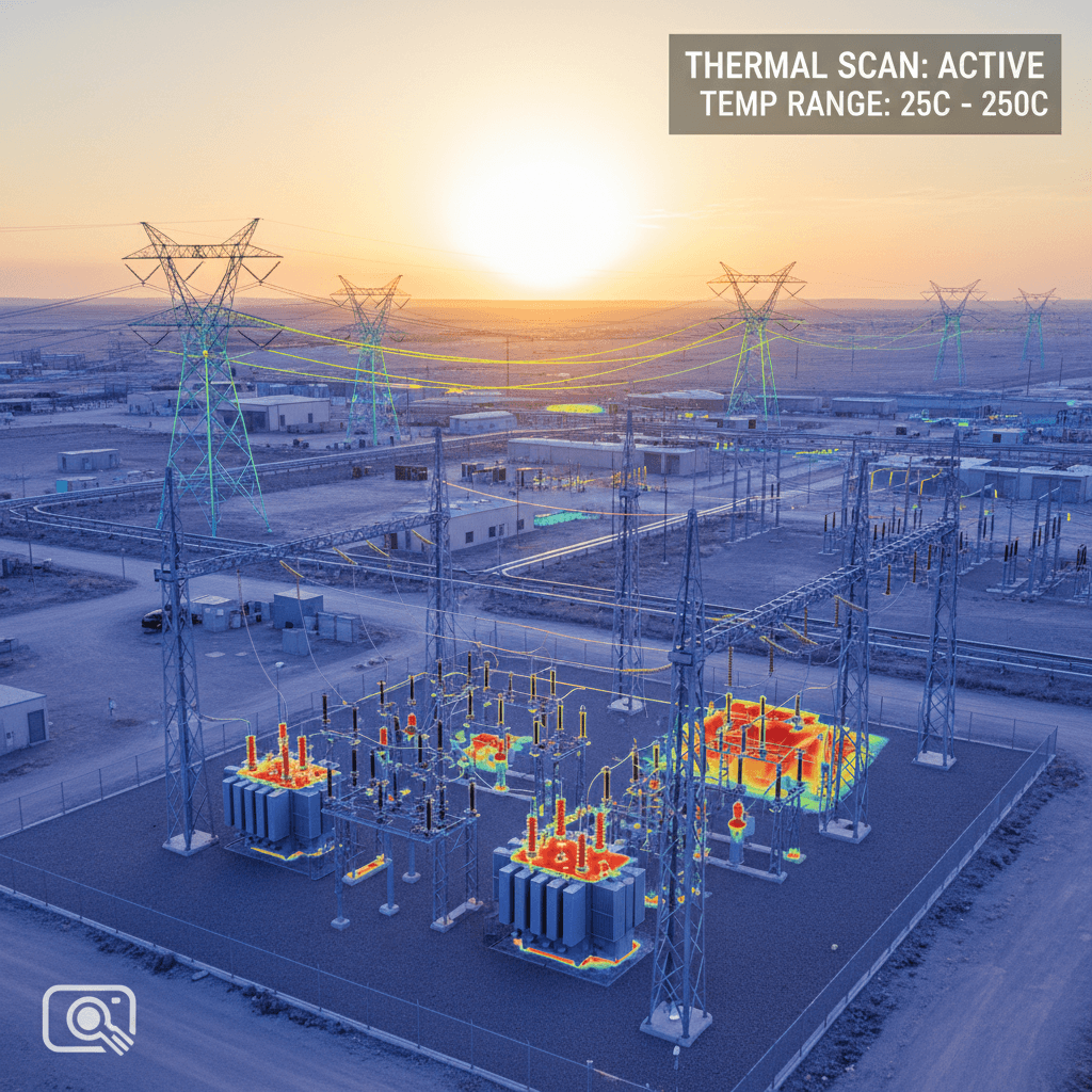
Power transmission infrastructure and generation assets
RTK-powered mapping built for land surveying, site planning, and GIS and BIM-ready datasets.
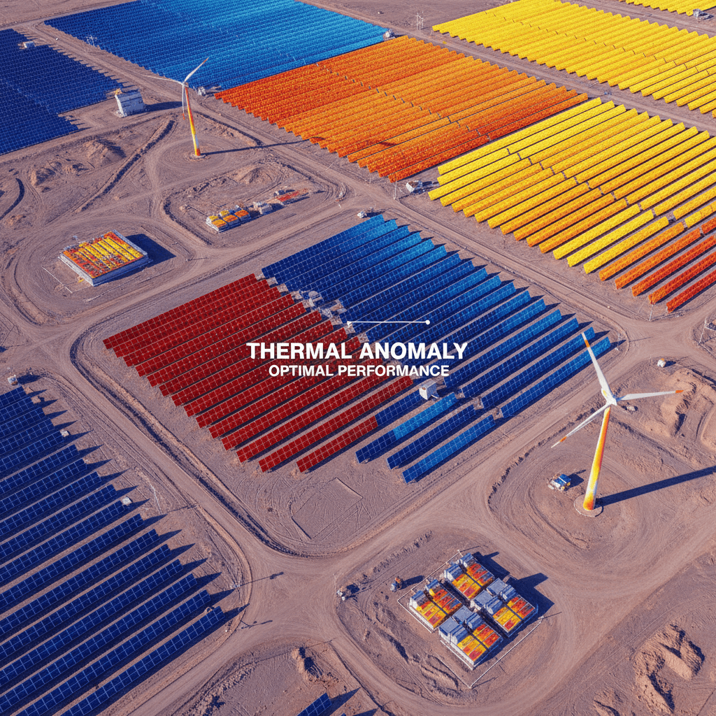
Solar Panel Fault Detection
Pinpoint thermal anomalies across solar arrays with georeferenced precision. Every hotspot, cell failure, interconnect defect, and bypass diode malfunction is identified and GPS-tagged from the air. Each finding is captured as a verifiable thermal signature with exact spatial coordinates, then compiled into a detailed inspection report ready for engineering analysis and remediation planning. Our radiometric drones cover utility-scale sites in a fraction of the time required by manual methods, delivering consistent, repeatable data that helps you track degradation over time and prioritize maintenance with confidence.
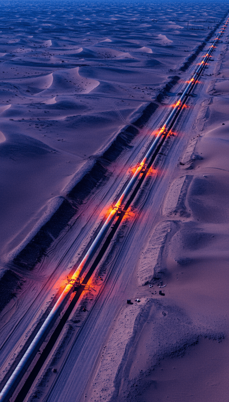
Thermal Infrastructure Integrity Assessments
Thermal Inspection for Critical Pipeline Infrastructure Our UAV-mounted radiometric thermal sensors detect subtle temperature variations along pipelines, pinpointing leaks, insulation failures, and subsurface anomalies before they escalate. This non-intrusive method provides high-resolution thermal maps across expansive corridors, enabling targeted maintenance planning and reducing operational risk. Trusted by energy and infrastructure operators across Saudi Arabia.
Does Your Project Deserve the Best?
Schedule a Complimentary Consultation. Our team evaluates your project requirements in depth and delivers a precision-engineered aerial solution aligned to your exact specifications.