
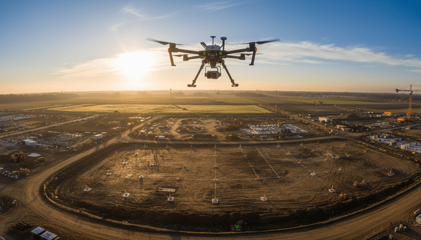
Multispectral Agricultural Survey Using Multi-Spectral Sensor
Crop health analysis using NDVI and NDRE with the Mavic 3M Multispectral sensor. We deliver precision agricultural surveys for irrigation planning, plant stress detection, and tree-by-tree palm orchard analysis across Saudi Arabia.
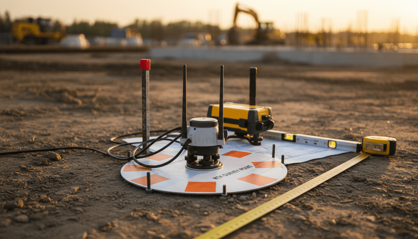
Six Spectral Indices for Comprehensive Crop Analysis
We use the Mavic 3M multispectral sensor to analyze crop health, vegetation density, and plan irrigation with high precision—covering farms, orchards, and agricultural projects across the Kingdom.
NDVI Index
Through Normalized Difference Vegetation Index (NDVI) analysis, we assess crop health by measuring reflectance in the near-infrared and red spectrums. This allows us to identify physiological stress, nutrient deficiencies, or irrigation anomalies days before symptoms become visible—enabling timely, informed intervention. A single drone flight covers your entire pivot irrigation system, capturing high-resolution multispectral data that reveals underperforming zones, clogged nozzles, leaks, and uneven water distribution. The output is a comprehensive field health map that pinpoints precisely where chlorophyll density declines—empowering you to target interventions, protect yield, and optimize irrigation performance with scientific precision rather than manual scouting or assumption.
NDRE Index
NDRE provides critical agronomic insight beyond conventional vegetation indices. By penetrating dense crop canopies, it detects chlorophyll degradation and nitrogen stress deep within plant tissue at the most pivotal moment: the critical growth stages.
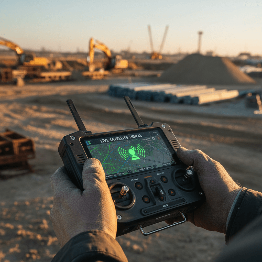
GNDVI Index
The Natural Green Cover Index provides a precise measure of chlorophyll density with superior sensitivity compared to NDVI, enabling the detection of subtle plant health variations prior to visible manifestation. This capability establishes it as an indispensable dataset for monitoring seasonal crop development, identifying early-stage nutrient deficiencies, and establishing performance benchmarks across growth cycles within Saudi Arabia’s irrigated agricultural environments.
SAVI Index
The Soil-Adjusted Vegetation Index (SAVI) is engineered to mitigate the influence of bare soil on vegetation analysis, delivering superior accuracy in arid and semi-arid regions characteristic of the Kingdom. By compensating for soil brightness in areas with sparse canopy or early-stage growth, SAVI provides a precise, reliable assessment of crop health, ensuring informed decision-making even in the most challenging agricultural environments.
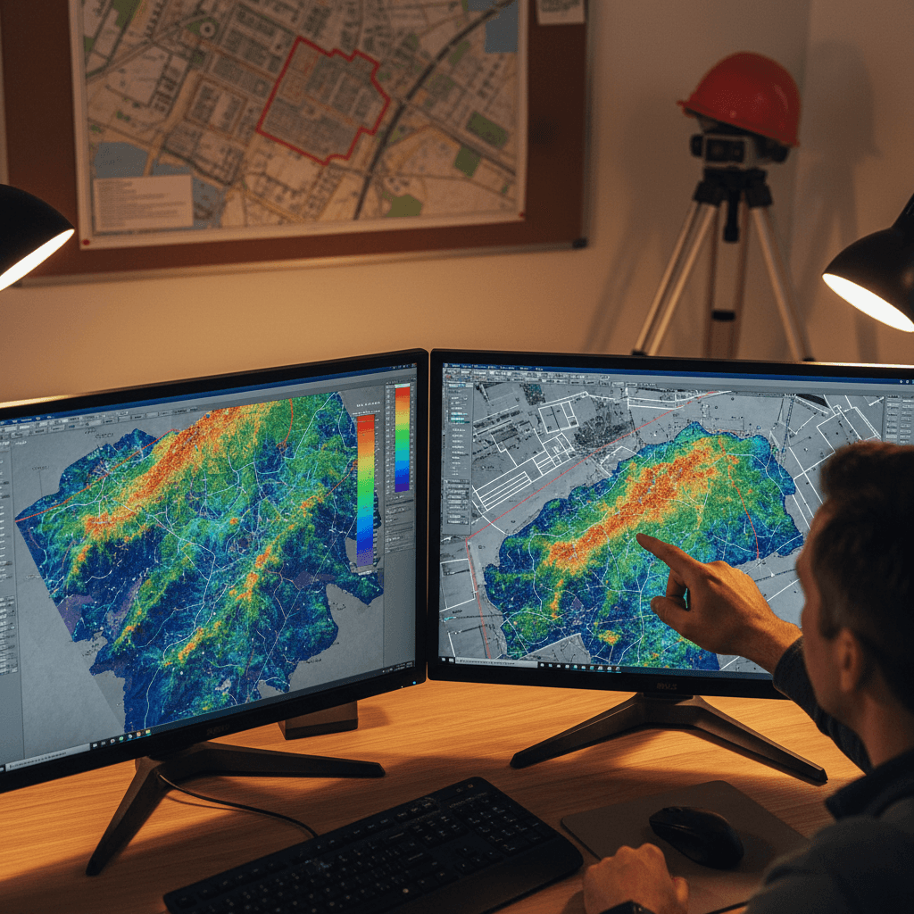
Agricultural GIS Reports
Multispectral drone data is systematically processed into precise, actionable GIS-ready insight layers, including NDVI, NDRE, and advanced vegetation health zone classifications. This enables authoritative identification of crop stress, chlorophyll concentration, and biomass variability across entire fields, eliminating the need for manual interpretation.
Fast and Comprehensive Surveying
Cover up to 200 hectares in a single, fully automated flight using the Mavic 3M’s integrated multispectral sensor. Capture critical crop health data, essential vegetation indices—including NDVI and NDRE—and high-resolution true RGB imagery across extensive agricultural or environmental areas with unmatched efficiency. This professional solution replaces days of manual scouting with hours of precision flight time, delivering trustworthy, high-accuracy intelligence precisely when operational decisions demand it.
Choose the Right Agricultural Survey Plan for Your Farm
Flexible spectral survey plans designed for farms of any size — from small-scale plots to large agricultural projects.
Basic Survey
Get a Quote
Per ProjectMultispectral scanning for small farms using NDVI and NDRE indices, delivered with a crop health report.
Up to 50 hectares
NDVI and NDRE Indices
Crop Health Map
Technical Report
GIS Files
Advanced Surveying
Get a Quote
Per ProjectComprehensive analysis with six spectral indices, differentiated management zone map, and irrigation and fertilization recommendations.
50 to 300 hectares
All Six Indicators
Administrative Zones Map
Irrigation and Fertilization Recommendations
Seasonal Analysis
Technical Support
Institutional Surveying
Request a Quote
By durationQuarterly monitoring of large-scale agricultural projects with tree-level palm analysis and detailed seasonal reports.
More than 300 hectares
Tree-by-tree palm analysis
Quarterly Aerial Survey
Seasonal comparison
Executive Reports
24/7 support
Start analyzing your farm today
Get a comprehensive spectral map of your crops. Our team is ready to analyze your farm and provide precise irrigation and fertilization recommendations.
Over 2 years of multispectral agricultural surveying experience
Leave your project details and we’ll get back to you within one business day. We provide precise crop health analysis and palm irrigation assessments across the Kingdom.
Phone
+966559977170 | +966556781524
Address
Kingdom of 2353 Ali Ibn Muhammed Albatalusi, Tuwaiq, Riyadh 14927, Saudi Arabia
Get directions