
Is Your Drone Operator GACA and GEOSA Licensed?
Looking for a Licensed Aerial Photographer in Riyadh?
We provide professional, fully licensed aerial photography services across Saudi Arabia. Contact us today for a free consultation.

The Hidden Risk: Unlicensed Operators in Riyadh's Skies
Operating without a GACA license can halt your project and lead to heavy fines. Our triple licensing protects your project before takeoff. The difference between a cheap shot and a professional job is official documentation.
Six Specialized Service Lines with Ready-to-Deliver Results
Every service we provide results in a tangible deliverable: precise measurements, 3D models, or production-ready cinematic footage. Choose the service line that fits your project phase.
6K Cinematic Filming
Cinematic 6K aerial footage with smooth, professional transitions. Ideal for luxury real estate, giga-projects, and media campaigns.
Aerial Live Streaming
High-quality live broadcasts for events and conferences from unique aerial angles, covered by our GAMR media license.

3D Modeling Tours
Precise 3D models of properties and sites, allowing clients to explore the location virtually before visiting.
Construction Progress Monitoring
Scheduled drone flights to track project milestones, providing a complete visual record for accurate oversight.

RTK Mapping and Surveys
Survey-grade data with ±1–3 cm accuracy and field verification. A reliable foundation for engineering and design.
Thermal Building Inspection
Infrared thermal scanning to detect energy loss and hidden structural defects, with immediate reporting.

Select Your Sector and Launch Your Aerial Project
We serve engineering, construction, energy, and real estate projects in Riyadh and throughout the Kingdom. Select your sector and let us plan your mission.

Engineering & Construction
Monitor construction progress and document every phase with precise, measurable data.

Energy & Infrastructure
Inspect power lines and stations using thermal imaging to identify faults before they escalate.

Real Estate & Marketing
6K cinematic visuals and interactive aerial tours that showcase properties from their best angles.

Agriculture & Land Management
Monitor crop health with multispectral imaging and soil analysis to maximize productivity.

Government & Municipalities
Licensed RTK aerial surveys and geospatial data to support urban planning and decision-making.
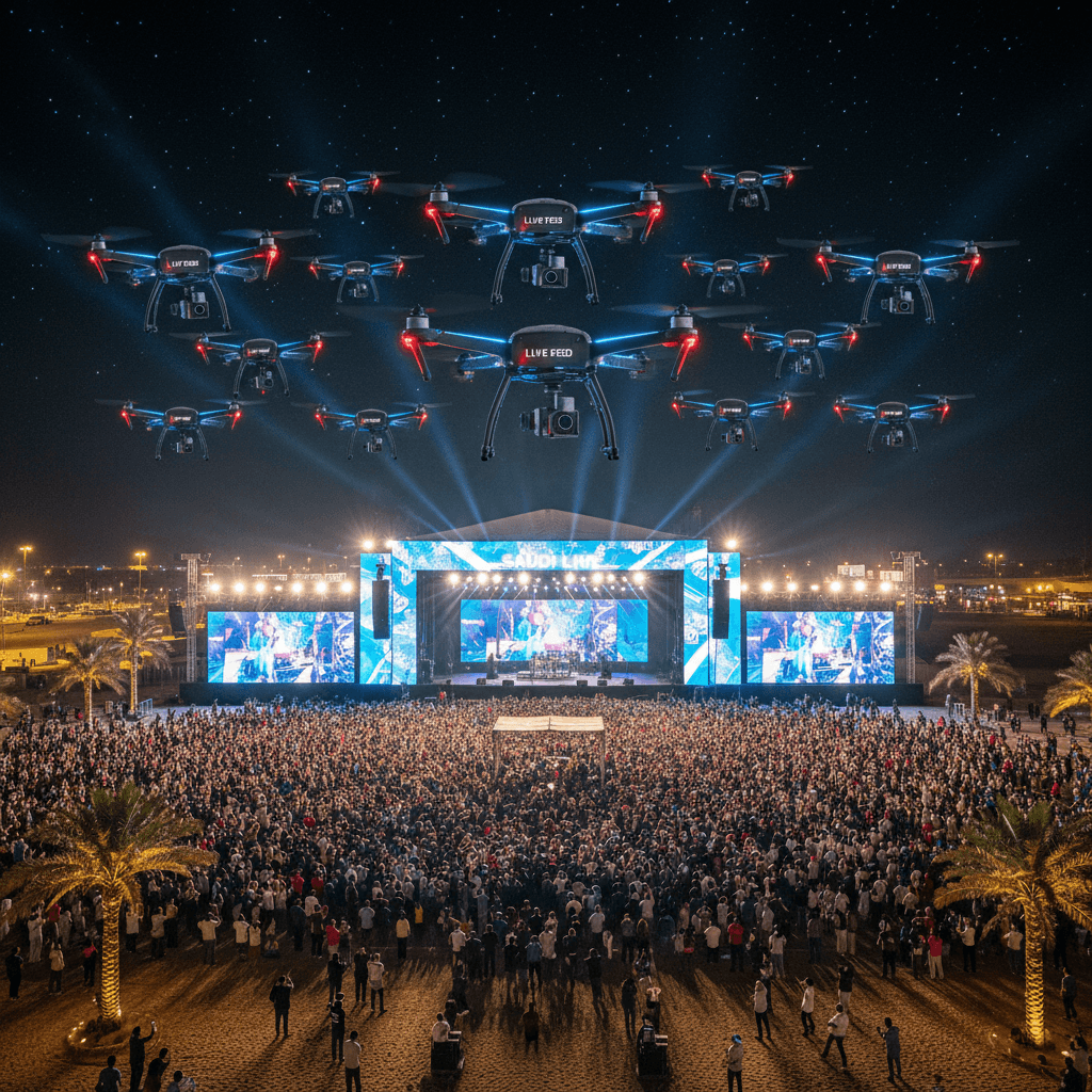
Events & Media
High-quality live coverage and streaming for major events from unprecedented perspectives.
Our Fleet is Ready Before We Make a Promise
A fleet of eight professional drones means we can execute your project without delays or scheduling bottlenecks. Fleet readiness is how we guarantee the punctuality you rely on.
8
Professional Fleet
A comprehensive fleet of 8 specialized drones covering all aerial imaging disciplines.
1-3
Centimeter-Level Accuracy
RTK-enabled systems achieving 1 to 3 cm accuracy after field verification.
6K
Cinematic Production
High-performance cameras capturing 6K footage for films and exceptional live broadcasts.
6
Service Lines
From aerial surveying to cinematic filming, all specialties under one roof.

8 Drones Ready for Your Next Project
Our licensed team is ready to deploy nationwide. Tell us about your project and receive a free consultation within 24 hours.