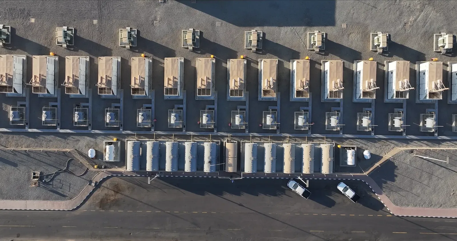
Before planning started, the developer needed a current, accurate picture of a 120 ha site at Al Ghat in Riyadh Region: what is on the ground, how the land falls and where the constraints are.
The client chose RTK georeferencing without ground control points. We offered independent ground checkpoints as an option; they were not part of the agreed scope.
The project at a glance
| Area | 120 ha (1.2 km²) |
|---|---|
| Terrain | Mainly flat farmland with palm groves and centre-pivot fields, dunes on the western edge, relief and structures in the south-west |
| Capture | One day, 30 September 2026, nine flights |
| Aircraft | DJI Mavic 3 Enterprise with RTK module |
| Positioning | Network RTK through GEOSA’s KSA-CORS, fixed solution on every image |
| Processing | 1 to 3 October 2026 |
| Reference frame | KSA-GRF17 / UTM 38N (EPSG:9358) |
How we flew it
The flat ground was split into overlapping nadir blocks flown at about 162 to 183 m above ground, with 85% forward and 80% side overlap and a ground sample distance of 4.4 to 5.0 cm. Over the south-western area, where the relief and structures are, we added oblique passes for the 3D model.
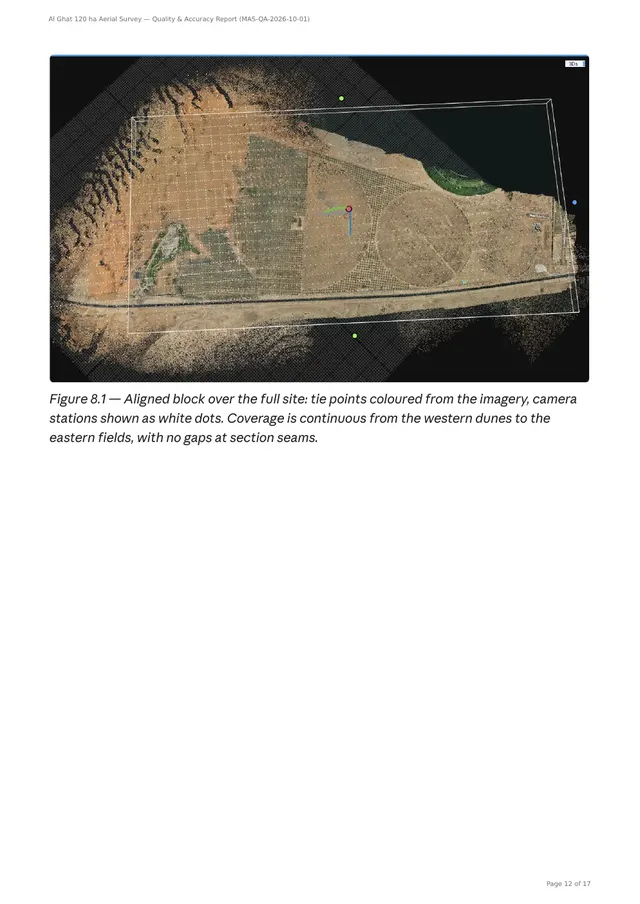
All 3,924 images aligned into a single block, none rejected, with a median reprojection error of 0.70 px.
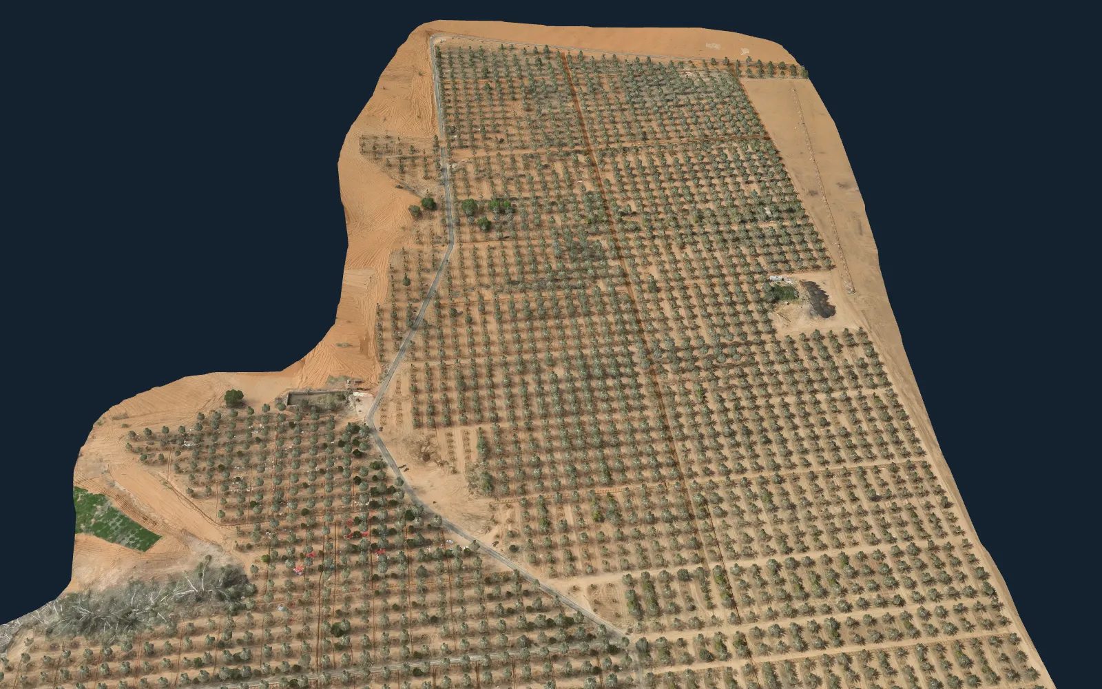
What we delivered
- Orthomosaic, GeoTIFF at 5 cm
- Digital surface model (DSM) and digital terrain model (DTM) on a 5 cm grid
- Classified LAZ point cloud at about 5 cm spacing
- Textured 3D model, OBJ at a 5 cm texel
- 0.5 m contours and the site boundary in DXF
- XYZ coordinate file on a 1 m grid
- Quality and accuracy report
Accuracy, stated plainly
The adjusted block agrees with the RTK-measured camera positions to 2.87 cm horizontally and 3.33 cm vertically (RMSE), with no systematic bias. That figure measures the internal consistency of the solution.
Absolute accuracy on the ground is set by the correction source: a single KSA-CORS station about 32 km away, good to roughly 4–5 cm horizontally and 8–13 cm vertically. So the report says what the data can and cannot be used for:
| Use | Suitability |
|---|---|
| Site planning, layout, area measurement and documentation | Suitable |
| Earthworks planning, cut and fill and volume estimates | Suitable, with a vertical uncertainty of about ±10 cm |
| Engineering design with tolerances below 10 cm | Validate first with surveyed checkpoints |
| Cadastral, title or legal boundary survey | Not suitable; needs a licensed survey office |
The full report
Client names, site coordinates and invoice numbers are blurred.
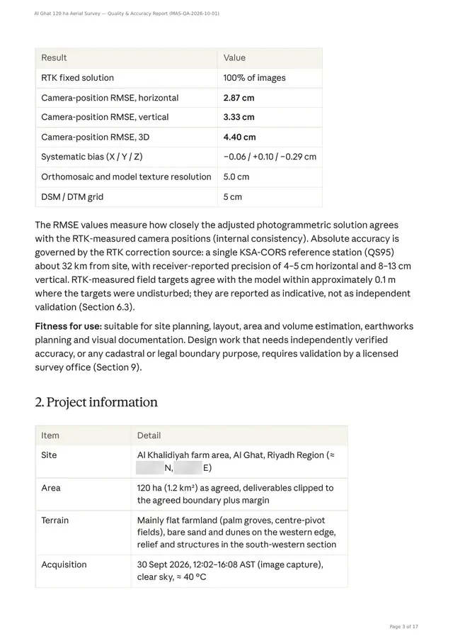
Quality and accuracy report: Al Ghat 120 ha survey
How the data were captured and processed, the accuracy achieved and the limits of use. 17 pages.
Open the PDF (2.4 MB)