RTK-based aerial mapping and GIS data in Saudi Arabia provides centimeter-level precision for infrastructure projects through high-resolution 3D modeling and spatial analysis. By integrating drone technology with real-time kinematic surveying, these services streamline construction workflows and digital twin creation across the Kingdom; this high-accuracy data is essential for modern BIM applications and urban development.
Traditional land surveying often falls short when confronted with the unprecedented scale and rapid timelines of modern Saudi infrastructure projects. Relying on standard GPS or manual methods frequently leads to costly miscalculations; this is especially true in the challenging topographies and harsh environments of Riyadh or NEOM. At Majed Aerial Solutions, we understand that centimeter-level precision is not a luxury; it is a fundamental necessity for engineering excellence. This article explores how RTK-based aerial mapping overcomes these obstacles by providing high-fidelity GIS data that serves as the backbone for digital twins and BIM-ready deliverables. We will examine the technical superiority of RTK technology over standard methods, navigate the complexities of GACA and GEOSA regulatory compliance, and demonstrate how drone-based intelligence optimizes project management in the Kingdom’s unique climate.
The Evolution of Geospatial Intelligence in Saudi Construction
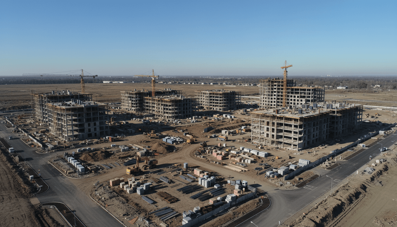
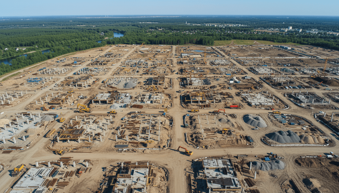
Saudi Arabia is currently witnessing an unprecedented scale of urban and industrial development. Driven by Vision 2030, the Kingdom’s landscape is being reshaped through Giga projects that demand a level of precision and speed that was previously unattainable through manual workflows. Traditional land surveying, while historically reliable for isolated plots, often fails to meet the aggressive timelines and massive geographic scales of projects like the Riyadh Metro or NEOM. The labor intensive nature of manual data collection simply cannot keep pace with the rapid earthworks and structural deployments required in the current market.
This shift has necessitated a move toward advanced geospatial intelligence. The current gold standard for the industry is RTK-based aerial mapping and GIS data in Saudi Arabia, which allows for the rapid acquisition of high density spatial information across thousands of hectares. By integrating topographic mapping and RTK surveying into the early phases of development, contractors can secure a comprehensive digital baseline with centimeter level accuracy. Furthermore, using 3D photogrammetric modeling ensures that every aspect of a site is documented, providing the foundational data needed for effective construction site monitoring and long term asset management. This evolution is not merely about speed; it is about providing the high resolution, verifiable data necessary to build the Kingdom’s future infrastructure.
Understanding RTK-based Aerial Mapping: Accuracy Beyond the GPS
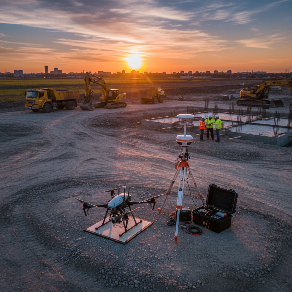
Achieving high-fidelity geospatial data requires moving beyond the limitations of standard GNSS. Traditional consumer-grade GPS systems typically result in a horizontal error of three to five meters, a margin that is unacceptable for modern engineering tolerances. Real-Time Kinematic (RTK) positioning addresses this by providing real-time corrections to the drone’s location. The system utilizes a stationary base station and a mobile rover, which is the drone, to calculate and eliminate signal delays caused by the atmosphere and satellite orbit errors.
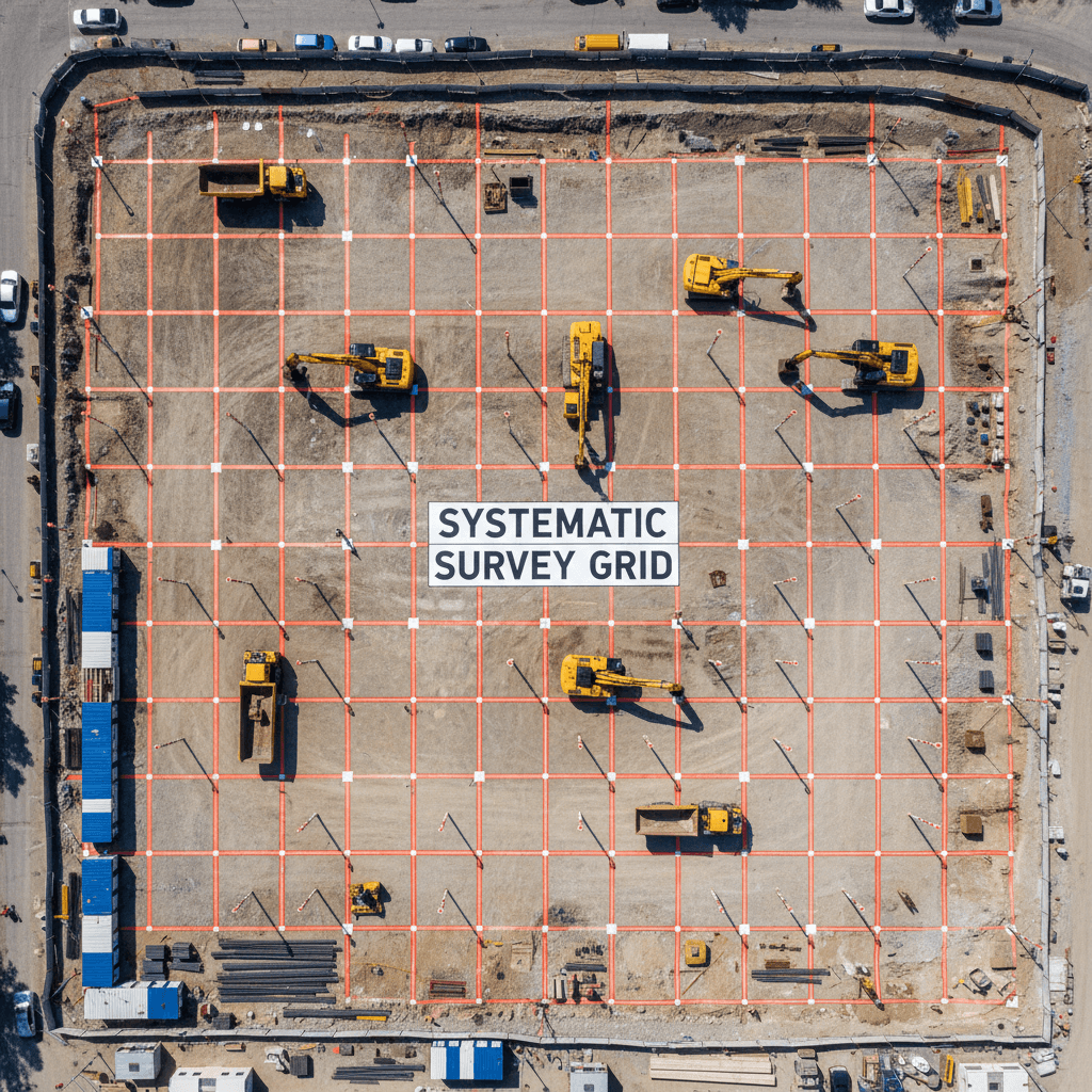
At Majed Aerial Solutions, we leverage this technology to deliver RTK-based aerial mapping and GIS data in Saudi Arabia with a precision of ±1 to 3 cm. The process involves more than just launching an RTK-enabled aircraft. While the RTK link provides high relative accuracy, we integrate Ground Control Point (GCP) validation to ensure absolute accuracy within the Kingdom’s specific coordinate systems. By placing physical markers measured by terrestrial surveying equipment across the site, we provide a secondary layer of verification that anchors the digital data to the physical ground.
Maintaining this standard across expansive projects in the Riyadh Province requires significant hardware resources. Our professional fleet of eight drones allows us to deploy the specific sensor needed for a site’s unique requirements, from topographic mapping and RTK surveying to high-density 3D photogrammetric modeling. This scale is vital for large construction sites where environmental factors can interrupt workflows. Having multiple RTK-capable units ensures that data collection remains consistent, even when project timelines demand simultaneous flights across different sectors of a massive infrastructure site. This rigorous technical framework provides the reliable foundation required for construction site monitoring and precision engineering.
Essential GIS Datasets for Saudi Infrastructure Projects
The transition from raw sensor data to actionable intelligence occurs through the generation of standardized GIS datasets. These outputs transform millions of discrete points into structured formats that Saudi engineering teams use for design, analysis, and compliance. The primary deliverable for site planning is the high resolution Orthomosaic map, typically provided in GeoTIFF format. Unlike standard photography, these are geometrically corrected, orthorectified images where every pixel represents a precise geographic coordinate, allowing for direct measurement of distances and areas within a GIS environment.
For earthworks and site leveling, Majed Aerial Solutions produces Digital Elevation Models (DEM) and Digital Terrain Models (DTM). While the DEM captures the top surface of all features, the DTM is processed to represent the bare earth by filtering out vegetation and temporary structures. This distinction is critical for Saudi contractors calculating cut and fill volumes or determining final grade elevations. Furthermore, we derive topographic contours from these models to support advanced hydrology and flood modeling, often utilizing HEC-RAS to predict water flow in the wadis and drainage basins surrounding Riyadh infrastructure.
These datasets are designed for immediate integration into ESRI ArcGIS or QGIS, which are the standard platforms for the Kingdom’s government and engineering sectors. Because our RTK-based aerial mapping and GIS data in Saudi Arabia is delivered in established spatial reference systems, such as MGRS or local KSA-specific projections, the data layers align perfectly with existing municipal records and topographic mapping and RTK surveying benchmarks. This interoperability ensures that 3D photogrammetric modeling data serves as a live component of the project’s geospatial ecosystem, facilitating more accurate construction site monitoring throughout the project lifecycle.
From Drone Data to BIM-Ready Deliverables: The Digital Twin Workflow

The transition from geospatial datasets to Building Information Modeling (BIM) represents the bridge between site planning and structural engineering. While GIS provides the geographic context, the integration of RTK-based aerial mapping and GIS data in Saudi Arabia into BIM workflows allows for the creation of a high-fidelity digital twin. The primary engine for this transition is the dense point cloud, typically delivered in LAS or LAZ formats. These files contain millions of X, Y, and Z coordinates, providing a sub-centimeter representation of every structural element, pile, and excavation on site.
At Majed Aerial Solutions, we process this raw 3D photogrammetric modeling data into assets that are immediately compatible with Autodesk Revit, AutoCAD, and Civil 3D. Unlike simple photography, which offers only a visual reference, these BIM-ready deliverables are spatially indexed. Saudi contractors use these models for critical engineering tasks:
Deliverable Type | Application in Construction |
|---|---|
Dense Point Clouds (LAS/LAZ) | As-built verification against architectural drawings. |
3D Textured Meshes (OBJ/FBX) | Visualizing site progress for stakeholder reviews. |
BIM-Integrated Contours | Precise volume calculations for earthworks and leveling. |
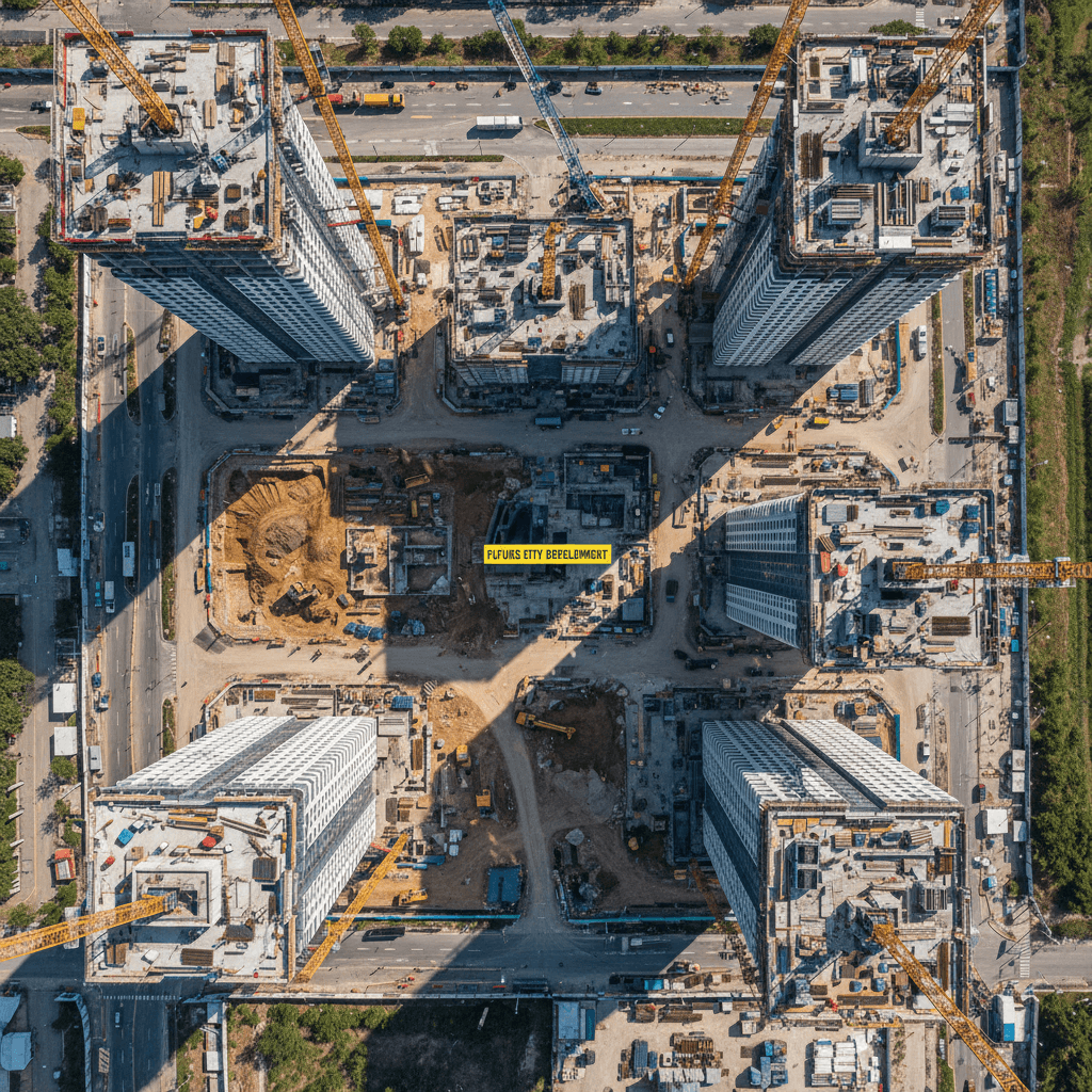
The utility for Riyadh-based engineering firms lies in the ability to perform automated clash detection. By overlaying the drone-captured digital twin against the original design model, teams can identify discrepancies before they lead to expensive field errors. Furthermore, periodic construction site monitoring via drone allows for an accurate timeline of as-built documentation. This is particularly valuable for giga-projects where manual inspections of vast structural skeletons are impractical. By providing a verifiable record of what was actually built, contractors can ensure their work aligns perfectly with the topographic mapping and RTK surveying benchmarks established at the project's inception. This technical synergy reduces rework and accelerates the handover process to facility managers.
Navigating Saudi Regulations: GACA, GEOSA, and GAMR Compliance
Successful integration of RTK-based aerial mapping and GIS data in Saudi Arabia depends on more than technical proficiency; it requires strict adherence to a multi layered regulatory framework. In the Kingdom, aerial survey operations are governed by three primary authorities, and operating without proper credentials exposes contractors to significant legal risks and project delays. Navigating these requirements is a prerequisite for any firm seeking to contribute data to national infrastructure databases.
The General Authority of Civil Aviation (GACA) oversees airspace safety, drone registration, and pilot certification. Every flight mission requires specific permits, particularly within the complex urban and restricted environments of the Riyadh Province. Parallel to this, the General Authority for Survey and Geospatial Information (GEOSA) regulates the collection, processing, and distribution of all spatial data. For a survey to be legally recognized for government infrastructure or giga-projects, the operator must be GEOSA-licensed. This ensures that the topographic mapping and RTK surveying outputs align with the Kingdom’s national geodetic benchmarks and standards.
When projects require visual assets for stakeholder engagement or progress reporting, the General Authority for Media Regulation (GAMR) provides the necessary media authorization. This is a critical component for companies providing 3D photogrammetric modeling or high resolution cinematic videography.
Majed Aerial Solutions (Commercial Registration 7052338246) operates as a fully dual-licensed entity, maintaining active credentials with both GACA and GEOSA along with GAMR media authorization. We manage the entire permitting lifecycle, including security clearances and data validation protocols. This local expertise allows us to execute construction site monitoring missions that international or unlicensed firms cannot legally perform, ensuring that all geospatial deliverables are fully compliant and ready for submission to Saudi municipal or national authorities.
Applications in Riyadh Construction: Managing Dust, Heat, and Scale
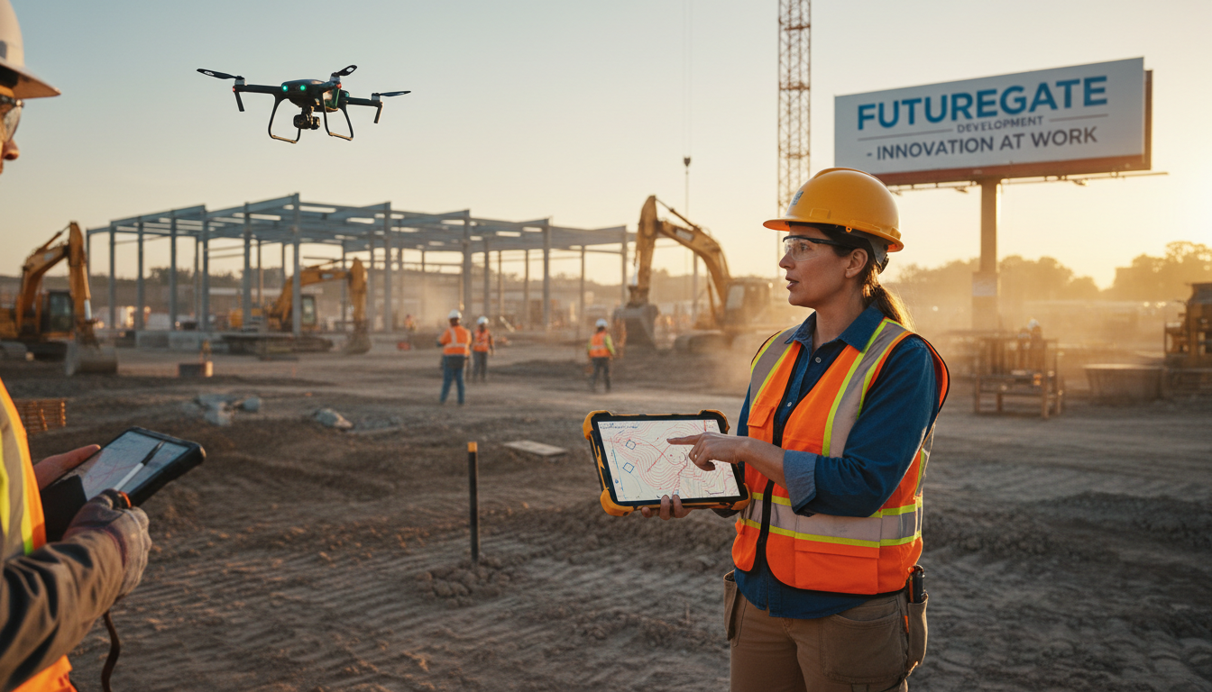
Navigating the regulatory landscape allows for the physical execution of mapping missions, which in the Riyadh Province requires specialized operational protocols. The environmental conditions in Central Saudi Arabia, characterized by ambient temperatures often exceeding 45°C and pervasive fine-grained dust, present significant challenges to hardware longevity and data clarity. Standard consumer drones often fail under these thermal loads; however, our professional RTK fleet is engineered with high IP-rated components and robust cooling systems to ensure consistent performance during peak summer months.
These environmental factors directly impact the accuracy of construction site monitoring. In the rocky terrain typical of Riyadh, where excavation often involves dense limestone, manual volume calculations are notoriously difficult and prone to error. By utilizing RTK-based aerial mapping and GIS data in Saudi Arabia, we provide contractors with precise volumetric analysis. The high-density point clouds generated through 3D photogrammetric modeling allow for the measurement of irregular rock faces with a level of detail that traditional rod-and-level methods cannot replicate. This precision is essential for managing the massive earthworks required for projects like the Riyadh Metro or the various developments under the Diriyah Gate initiative, where every cubic meter of displaced rock represents a significant cost factor. Integrating these outputs into topographic mapping and RTK surveying workflows ensures that even in harsh desert conditions, the project maintains its digital integrity.
Comparison: Drone-Based GIS vs Traditional Land Surveying
Integrating RTK-based aerial mapping and GIS data in Saudi Arabia fundamentally alters the efficiency of large scale infrastructure projects. While traditional land surveying relies on a surveyor manually capturing discrete points with a total station or GNSS rover, this method only provides a sparse representation of the terrain. In contrast, 3D photogrammetric modeling generates millions of data points, creating a continuous surface model. This density is critical for HEC-RAS hydrology and flood modeling. In the Riyadh Province, where rapid runoff in wadis poses a significant risk to new developments, the granular detail of a drone-derived DTM allows engineers to predict water flow with far greater reliability than traditional methods allow.
Operational safety and speed further distinguish these two approaches. Traditional surveying necessitates personnel walking through active construction zones, often near heavy machinery or on unstable excavated slopes. By employing topographic mapping and RTK surveying from the air, Majed Aerial Solutions eliminates these site hazards. The time to delivery is also significantly compressed; projects that would take weeks for a ground crew to map are completed in a fraction of the time, enabling more frequent construction site monitoring and providing project managers with a truly live view of their progress.
Comparison Metric | Traditional Land Surveying | Drone-Based GIS (Majed Aerial) |
|---|---|---|
Points per Hectare | Hundreds of points | Millions of points |
Turnaround Time | Extensive (weeks) | Rapid (days) |
Personnel Safety | Site-contact required | Zero-contact aerial |
Hydrological Fidelity | Low resolution | High resolution (HEC-RAS optimized) |
Integrating high-precision RTK data and GIS mapping is no longer just an option for modern infrastructure projects in Saudi Arabia; it is a necessity for long-term success. Achieving this level of accuracy requires a balance of advanced technology and local industry expertise. If you want expert help in implementing these complex solutions for your next project, exploring specialized Riyadh Aerial Mapping services can ensure your data is both reliable and actionable. Our team at Majed Aerial Solutions is ready to support your unique goals with precision and care.