Drone Services in Saudi Arabia — Engineering Survey, Inspection, and Aerial Media
GACA + GEOSA licensed for engineering work. GACA + GAMR licensed for media production. Based in Riyadh, operating across the Kingdom. RTK accuracy to ±1–3 cm. 8-aircraft fleet. Direct contact with the operator.
Expand Your Capabilities with Flexible Solutions
In addition to our core services, we offer professional drone rental, specialized consulting, comprehensive architectural reality capture, and complete heritage documentation.
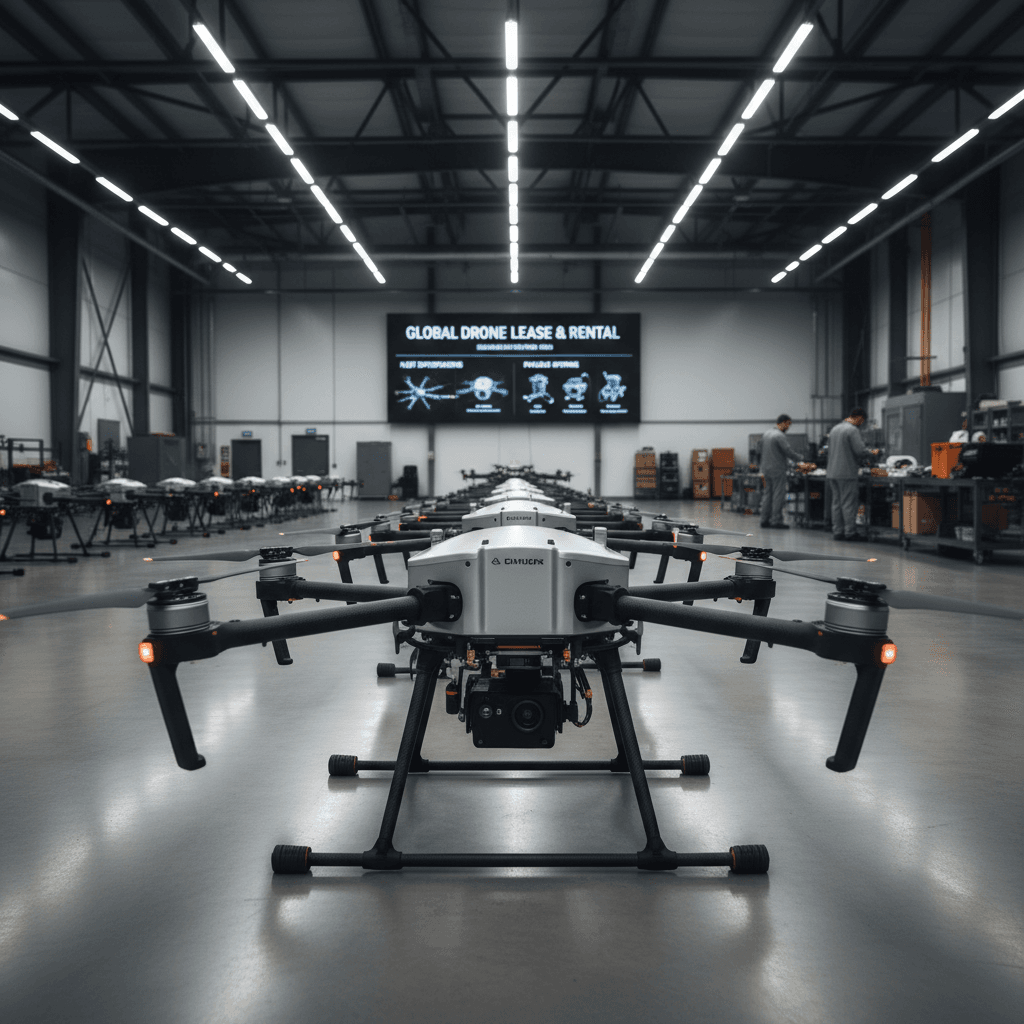
Professional Unmanned Aerial Systems for Rent
Rent advanced drone platforms with licensed pilots and professional-grade equipment tailored to your project needs.
Advanced Geospatial Consulting Services for Enterprise
Specialized technical support to identify the most suitable aerial solutions and software for your project.
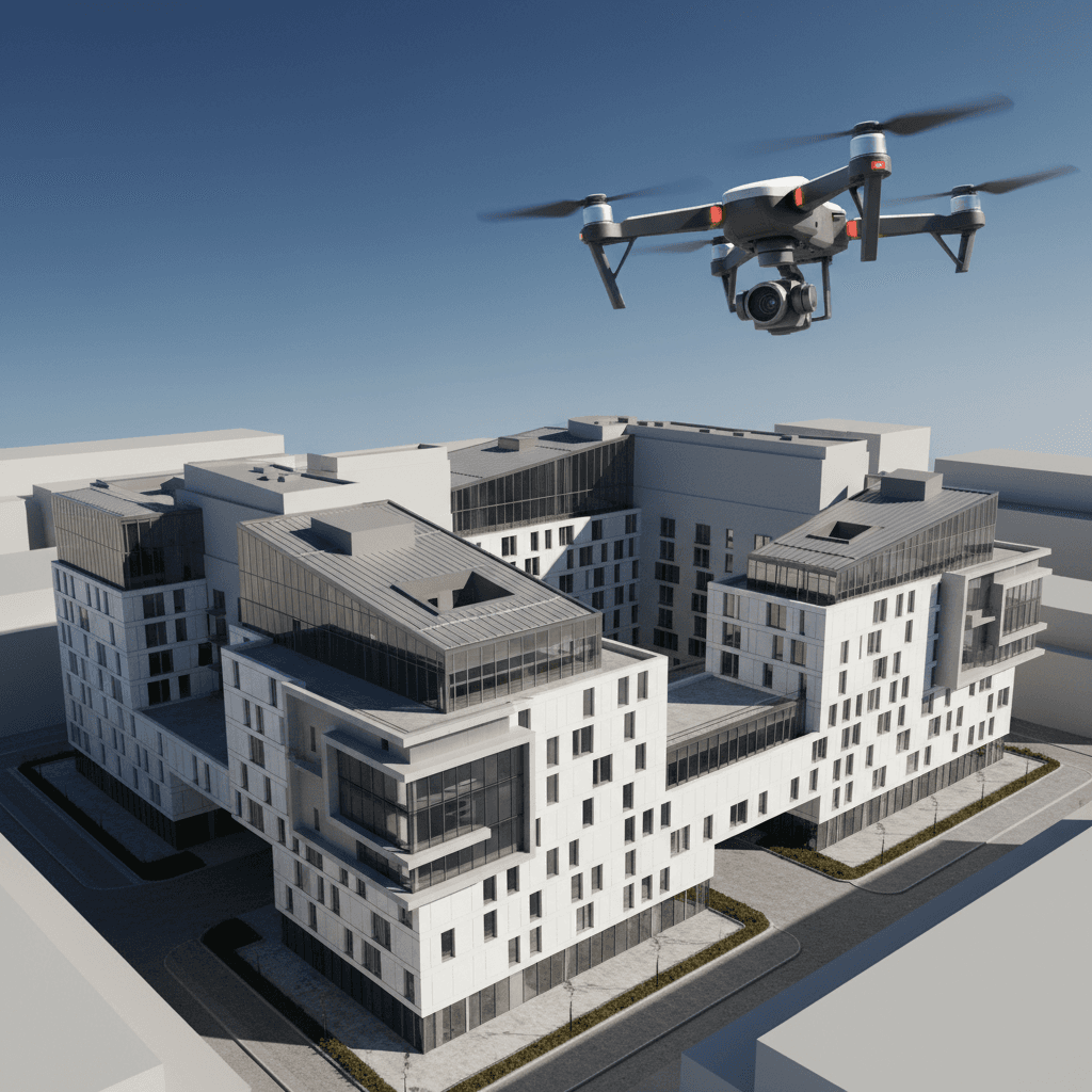
Architectural Reality Capture
Precision 3D documentation of buildings and facilities for authoritative planning, compliance, and archival records.
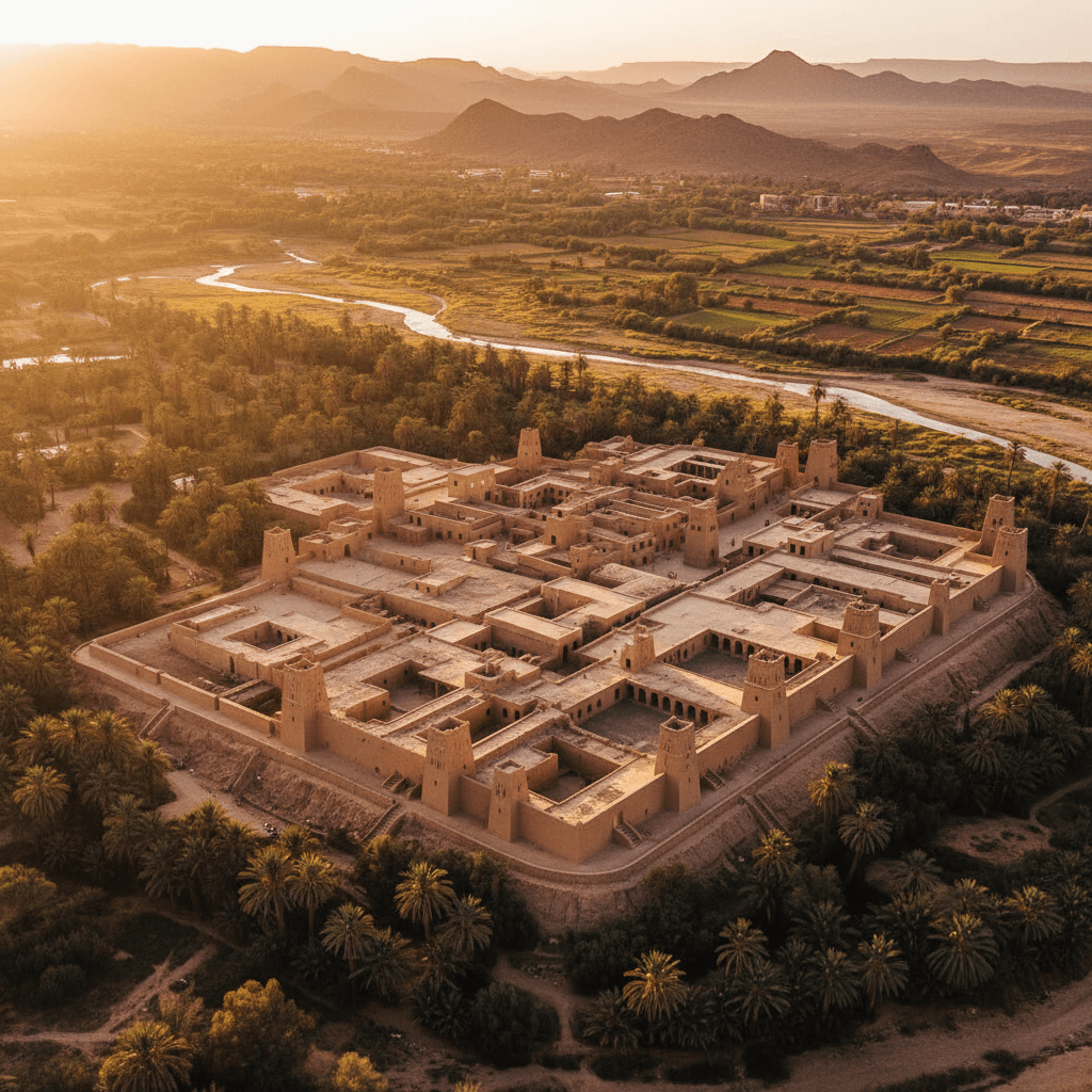
Cultural Heritage Documentation
Authoritative digital documentation and preservation of heritage and archaeological assets, delivered with survey-grade precision and meticulous attention to detail.
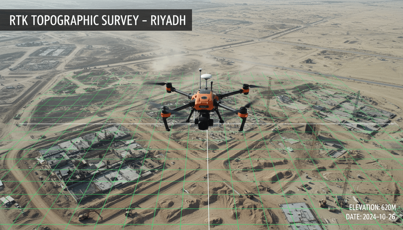
RTK Surveying & Mapping
RTK surveying with ±1–3 cm accuracy and GCP validation. Deliverables include Orthomosaic GeoTIFF, DTM, DSM, LAS/LAZ, DXF.
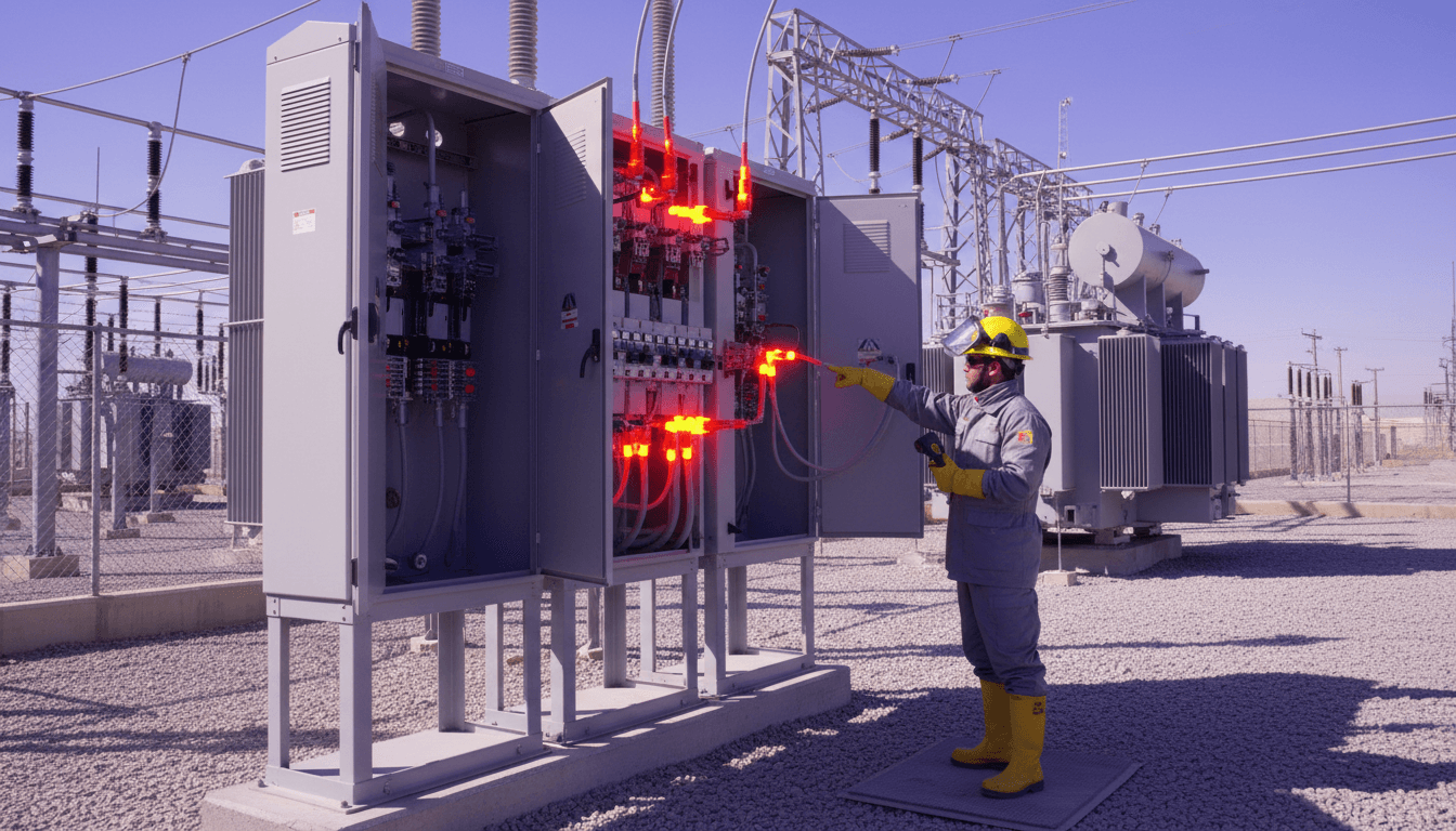
Radiometric Thermal Inspection
Thermal inspection powered by Matrice 30T — detect leaks, solar panel faults, and electrical grid anomalies with precision.
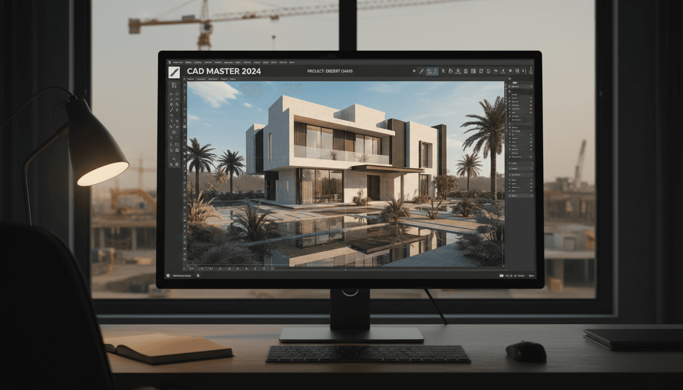
3D Photogrammetry & BIM Modeling Riyadh | Majed Aerial Solutions
Photogrammetric OBJ models and dense point clouds for engineering analysis. BIM- and Revit-ready deliverables for heritage preservation and digital twins.
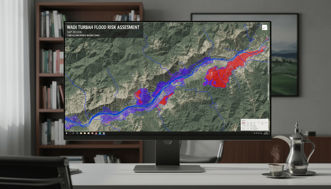
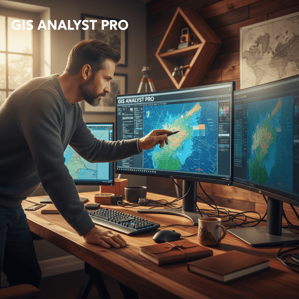
GIS & Hydrology
GIS analysis using QGIS and 2D flood simulation with HEC-RAS—supporting drainage planning, flood risk assessment, and CHM modeling.
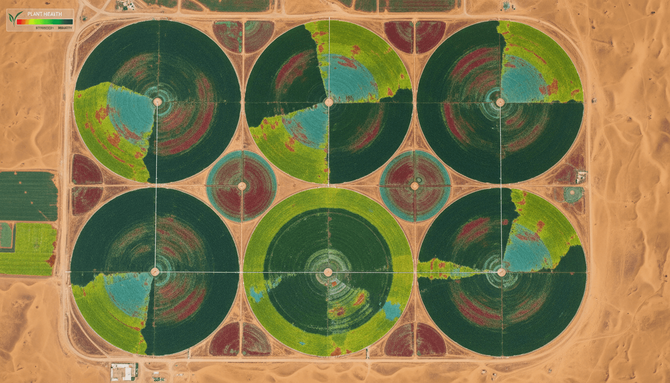
Multispectral Agriculture Survey
Mavic 3M multispectral sensor. Vegetation indices: NDVI, LCI, NDRE, GNDVI, SAVI, EVI. Per-tree health analysis and irrigation management.
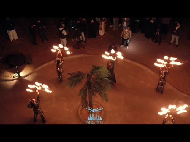
Cinematic Aerial Filming & Live Broadcasting
6K cinematic video, FPV, and live RTMP/SRT streaming with sub-2-second latency. Full 360° virtual tours. GAMR-licensed for media.
Our Services in Detail
Six integrated professional services, designed to meet the technical demands of engineering, industrial, and government projects with precision, quality, and reliability.
High Precision. Reliable Performance.
Advanced technology delivering professional results for your projects across Saudi Arabia.
±1–3 cm
Centimeter-level RTK accuracy for aerial mapping and surveys
6K
High-definition video quality for professional filming and documentation.
GIS/BIM
Deliverables compliant with infrastructure and engineering project standards
Prepared.
Comprehensive coverage across the Kingdom of Saudi Arabia
Request Your Aerial Service in Riyadh — Free Technical Consultation
Get a free project assessment and custom quote from the Majed Aerial Solutions team. Serving Riyadh and all regions of Saudi Arabia.
Orthomosaic Imagery
Precision aerial maps with sub-centimeter accuracy — fully compatible with AutoCAD and ArcGIS for engineering projects
Digital Surface/Terrain Models (DSM/DTM)
High-accuracy elevation data for terrain analysis, urban planning, and infrastructure design.
Point cloud LAS/LAZ files
High-Accuracy Point Clouds for 3D Surveying and Advanced Engineering Applications
DXF and OBJ Files
Ready-to-use formats for design software and 3D modeling applications
XYZ Data & Coordinates
Centimeter-accurate RTK positioning for geospatial applications
PDF Thermal Reports
Comprehensive thermal data analytics with detailed charts and technical recommendations
Advanced Geospatial Data
Organized geospatial data aligned with GIS standards and BIM applications
Full BIM Compatibility
All deliverables are BIM-compatible and aligned with major project standards.
Specialized Solutions for Your Sector
Majed Aerial Solutions delivers sector-specific drone technology. From construction to energy, we help you make better decisions with accurate, reliable data.
Construction & Contracting
Monitor project progress with high precision — RTK maps and 3D imagery capture every construction stage to keep timelines and budgets on track.
Energy & Industrial
Thermal inspection and advanced surveying for large-scale facilities. Detect potential issues before they impact production and reduce downtime.
Request Your Aerial Survey or Photography Now
Tell us about your site and requirements. We’ll reply within one business day with a clear quote and an estimated timeline.