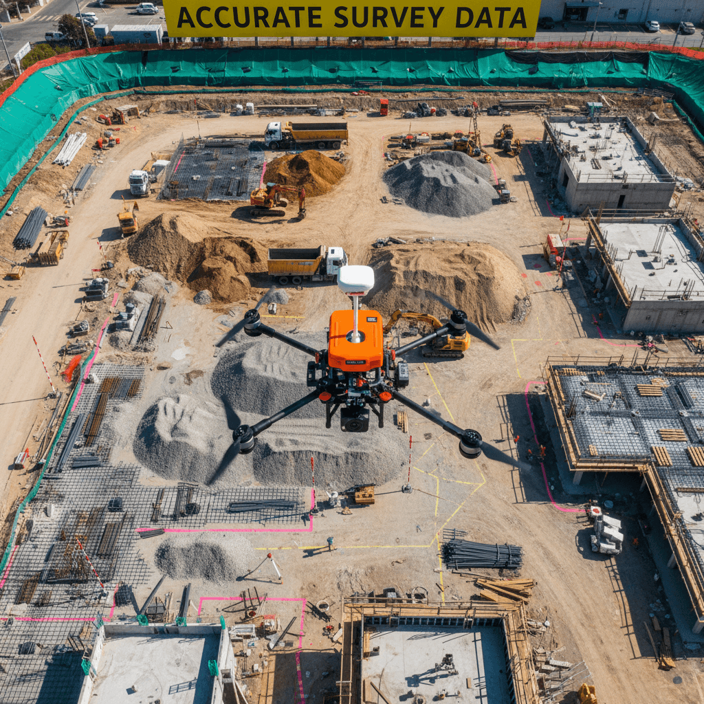
What we provide
- RTK aerial photogrammetry
- Ground Control Point (GCP) verification
- Orthomosaic mapping
- Digital Surface Models (DSM)
- Digital Terrain Models (DTM)
- 3D photogrammetric models
- Point clouds
- Contour generation
- Topographic mapping
- Construction progress mapping
- Earthwork and quantity measurement support
- GIS-ready aerial datasets
Typical deliverables
Depending on project requirements, aerial survey datasets can be
delivered in formats suitable for engineering, GIS, CAD,
photogrammetry and 3D processing workflows.
- Orthomosaic
- DSM
- DTM
- Point cloud
- 3D mesh / textured model
- LAS / XYZ / PLY
- DXF
- SHP
- Contour data
- Geo-referenced imagery
Applications
- Construction site surveying
- Infrastructure projects
- Road and highway monitoring
- Earthworks and excavation
- Stockpile and volume calculations
- Construction progress monitoring
- Land development
- Topographic mapping
- GIS data collection
- Digital twins and 3D site documentation
- Real-estate and development documentation
Operational coverage
Services are available in Riyadh and other locations throughout
Saudi Arabia, subject to applicable aviation, site-access and
operational requirements.
Majed Aerial Solutions operates professional DJI aerial platforms,
including RTK-capable systems, for mapping, imaging, inspection and
surveying applications.
What is aerial photogrammetry?
Aerial photogrammetry is a surveying and mapping technique that uses
overlapping photographs captured from an unmanned aircraft system
(UAS/drone) to generate measurable geographic and three-dimensional
information. Photogrammetric processing can produce orthomosaics,
point clouds, digital surface models, digital terrain models,
contours and 3D models.
المسح التصويري الجوي هو تقنية للمسح ورسم الخرائط تعتمد على التقاط
صور جوية متداخلة باستخدام الطائرات بدون طيار، ثم معالجة الصور لإنتاج
بيانات جغرافية وقابلة للقياس مثل الأرثوموزايك، السحب النقطية،
نماذج الارتفاعات الرقمية، نماذج التضاريس، خطوط الكنتور والنماذج
ثلاثية الأبعاد.