
Topographic Survey with ±1–3 cm Accuracy
We deliver advanced RTK topographic surveying across Riyadh and Saudi Arabia — licensed by GACA and GEOSA, with a fleet of 8 specialized drones.
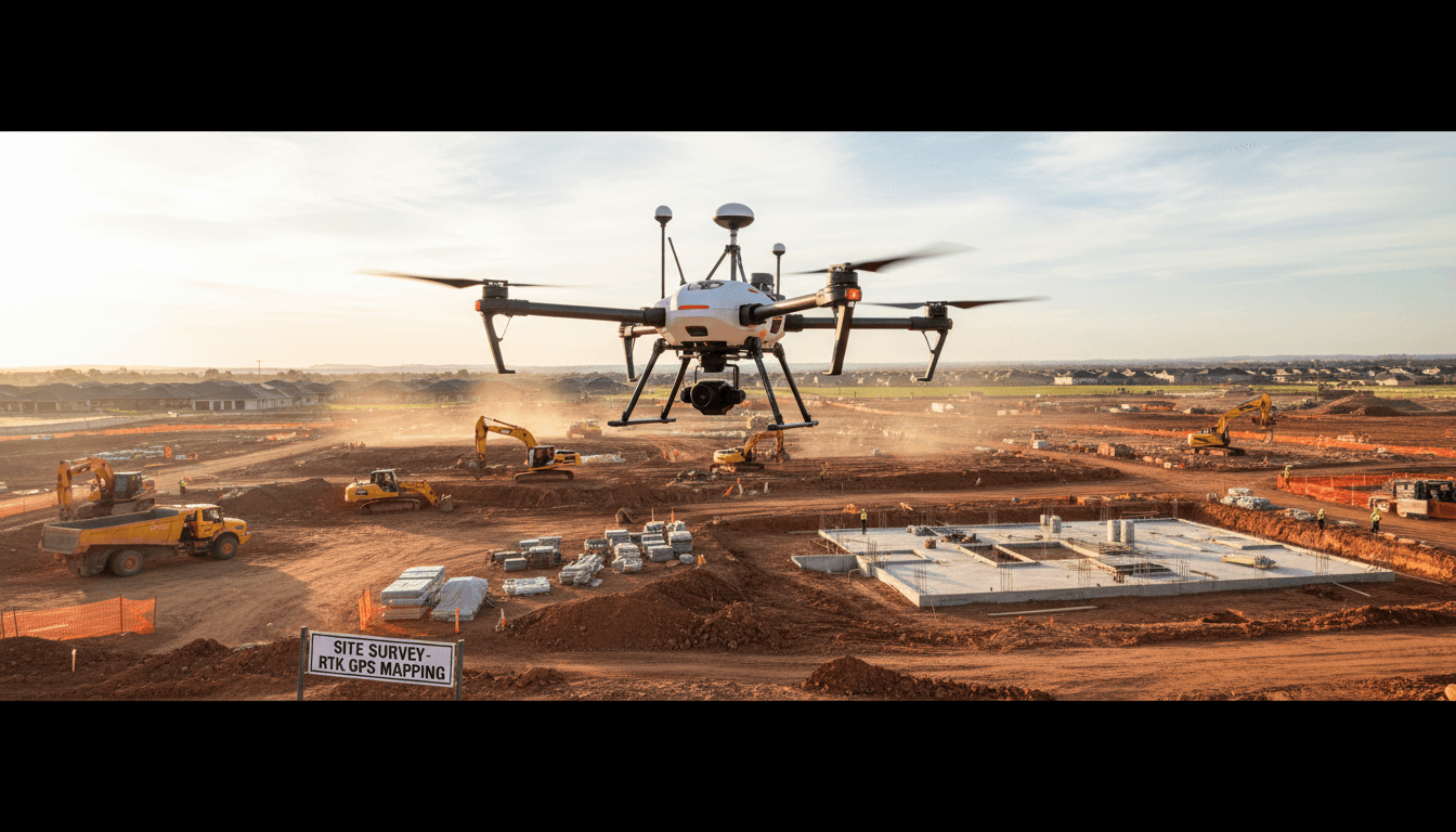
Precision terrain mapping before you break ground.
Topographic survey maps the terrain and elevations of your land, delivering precise data for project design and execution. From Riyadh, we provide it nationwide with ±1–3 cm accuracy.
High precision begins on the ground, not in the sky.
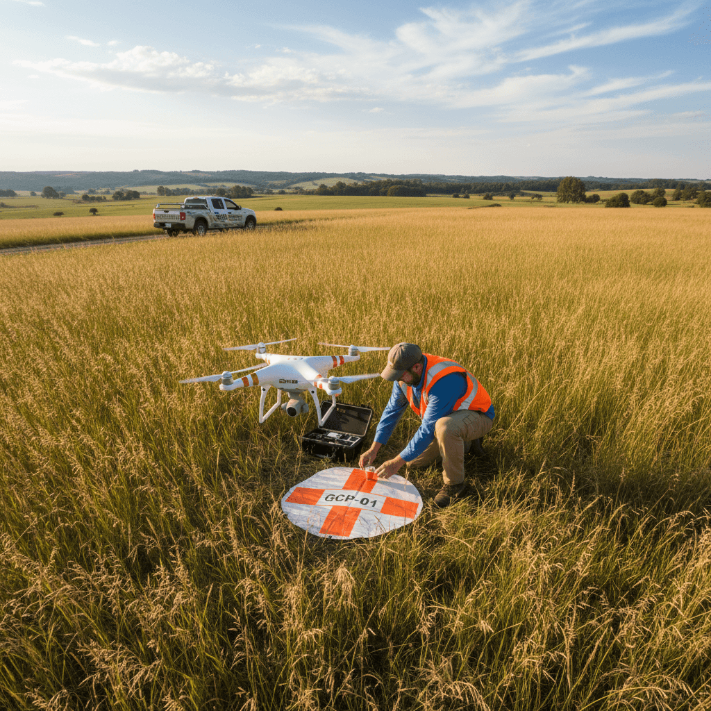
We set ground control points first, then we fly. That’s how we achieve ±1–3 cm accuracy on every topographic survey project in Riyadh.
Ground Control Points
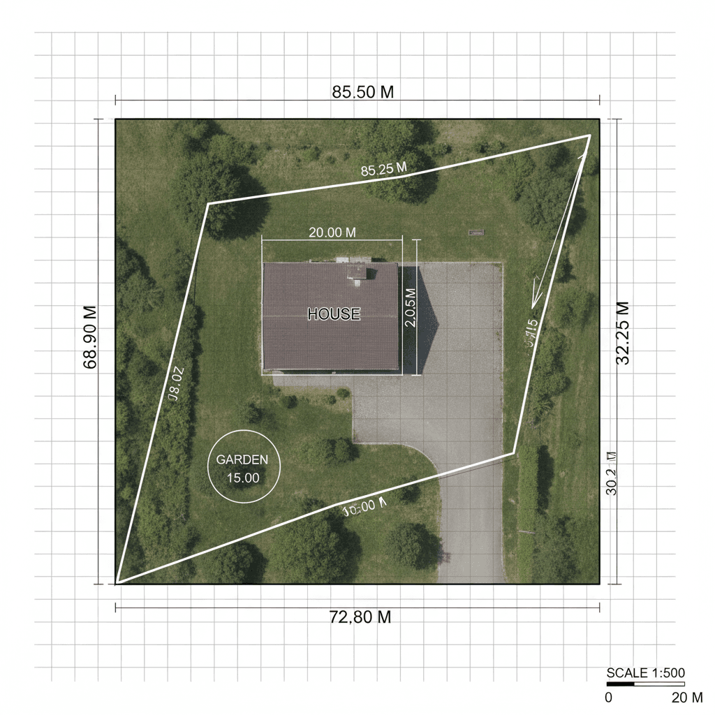
We ground-truth every project by laying out GCPs and capturing their positions with survey-grade GNSS before the drone ever leaves the pad—so your orthomosaic, DTM, and point cloud tie directly into real-world site coordinates.
Flight Path Planning
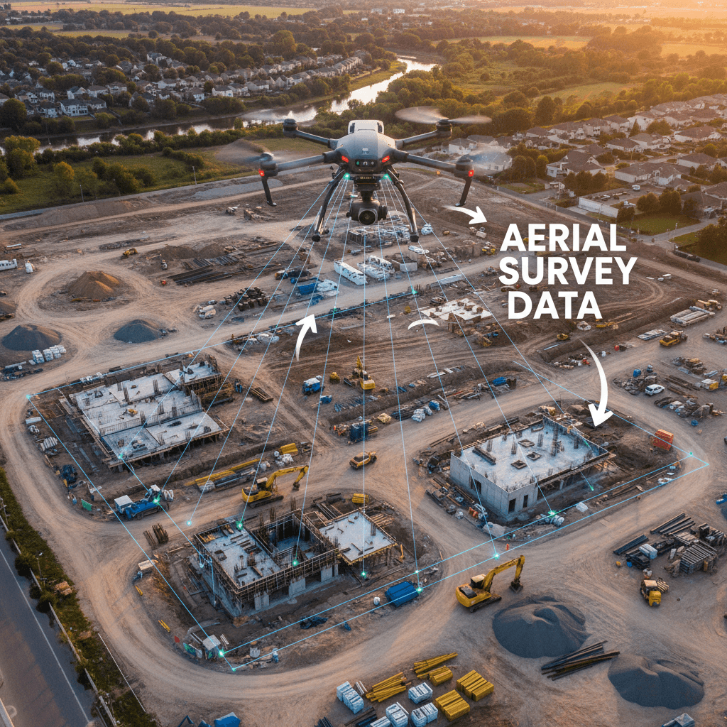
Our flight planning methodology guarantees seamless full-site coverage through precisely calculated overlapping paths, eliminating data gaps while optimizing operational efficiency.
Photogrammetric Processing
We fly RTK-enabled drones to capture high-resolution aerial imagery, then process the data into dense point clouds and digital terrain models with survey-grade accuracy down to ±1–3 cm — validated with ground control points for engineering-ready deliverables.
Verify and Review
We cross-check ground control points against raw aerial data after every flight, verifying horizontal and vertical accuracy before any deliverable leaves our office.
Open-format deliverables
Final deliverables are provided in industry-standard formats—AutoCAD (DWG/DXF), ArcGIS (SHP, GeoTIFF), and Revit (BIM-ready models)—enabling your design and engineering teams to import spatial and topographic data directly into their existing workflows without conversion delays or manual rework.
Request your ready-to-use digital deliverables
Professional-grade aerial survey deliverables engineered for seamless integration. Every dataset—from classified point clouds and orthomosaics to DTMs, DSMs, and 3D mesh models—is formatted for direct use in AutoCAD, Revit BIM, ArcGIS, and QGIS. No conversion headaches, no rework. Just precise, survey-ready outputs that slot straight into your design and analysis workflows, saving your team time on every project.
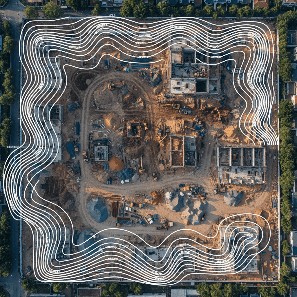


2 cm accuracy... and precise flood predictions
We process centimeter-level topographic data from our RTK drone fleet directly into calibrated HEC-RAS 2D models, simulating flood extents, flow velocities, and water surface elevations. The output gives Saudi infrastructure and land development projects the clarity to plan drainage, size culverts, and validate flood mitigation measures with confidence.
RTK data powers the model
RTK aerial surveying delivers topographic data at ±1–3 cm accuracy, providing a precise and dependable input for HEC‑RAS modeling. This rigorous data foundation minimizes simulation errors and supports informed decision-making in infrastructure, flood analysis, and drainage design.
High-Accuracy Flood Inundation Mapping
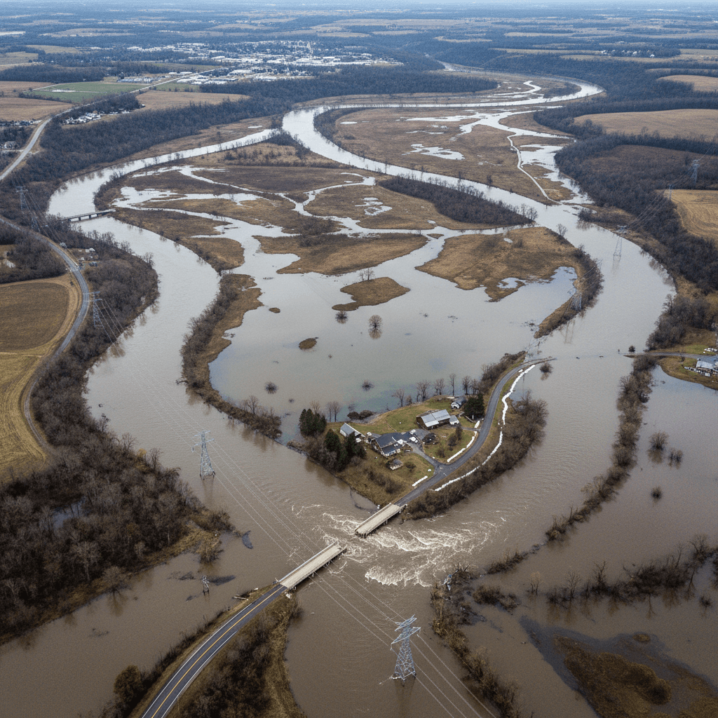
Precision hydrological intelligence derived from high-resolution aerial data to accurately delineate flood-prone zones, model stormwater behavior, and anticipate watershed response. This clarity empowers confident planning and development decisions backed by actionable flood-risk insight.
Drainage network design based on precise aerial topography, ensuring accurate flow paths and catchment integration from the start.
We map the natural flow of water across your site and identify the optimal locations for culverts, drainage channels, and retention features to prevent erosion and flooding.

Watershed Analysis and Hydrological Assessment
Understand how rainfall flows across terrain, where runoff concentrates, and which areas pose the greatest flood risk to roads, utilities, and nearby structures before breaking ground.
Multiple Scenarios
We conduct rainfall return‑period simulations with HEC‑RAS 2D to evaluate site response across a range of storm frequencies, intensities, and durations. From frequent 2‑year events to extreme 100‑year scenarios, our analysis delivers precise flood extents, water depths, and flow velocities. This data‑backed insight supports confident decision‑making for drainage design, flood risk assessment, and emergency response planning.
Ready-to-use GIS layers
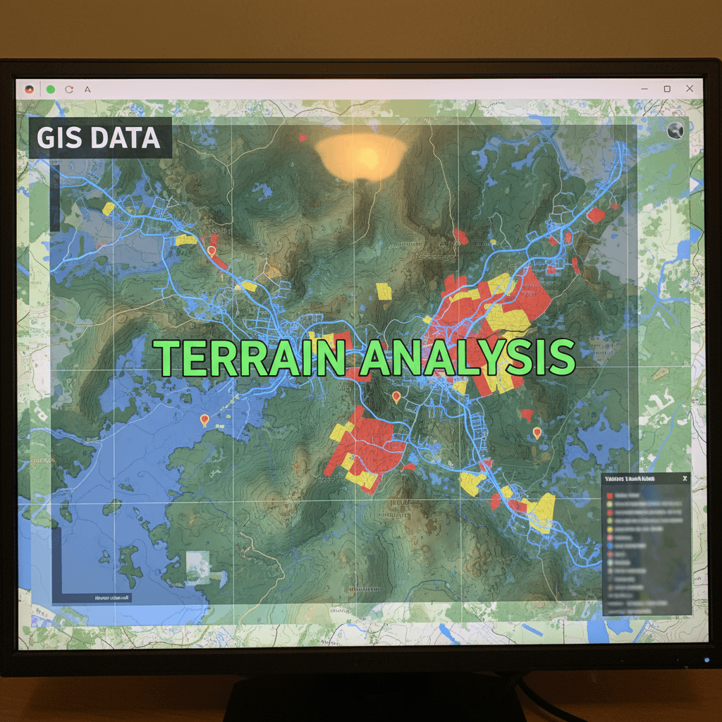
We deliver high-precision aerial data transformed into geospatially accurate digital maps and fully integrated GIS products, supporting critical infrastructure and urban planning projects across the Kingdom of Saudi Arabia.
Shapefile and Geodatabase outputs
Your GIS-ready geospatial data arrives in formats that plug directly into ArcGIS and QGIS, so your team can move straight to analysis and decision-making. Every deliverable—from orthomosaics and elevation models to classified point clouds and shapefiles—is structured to match your existing workflows. No file conversions. No manual cleanup. Just immediate, seamless integration that lets you focus on the layers that matter.
Digital Elevation Models
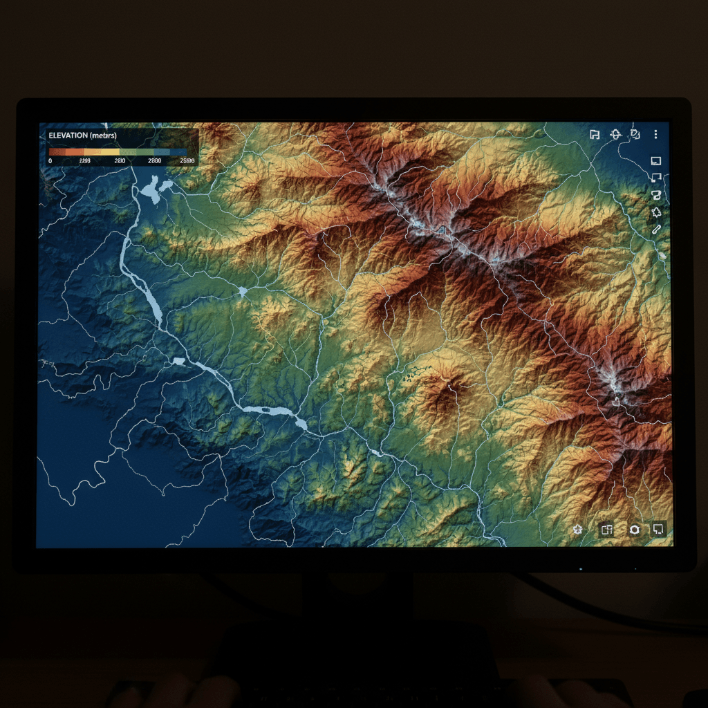
From our Riyadh headquarters, we deploy RTK-enabled drones to generate high-resolution Digital Elevation Models and Digital Terrain Models with exceptional fidelity. This approach captures subtle topographical variations often overlooked by conventional surveys, producing datasets that directly inform cut-and-fill analysis, drainage system design, and precision infrastructure planning throughout the Kingdom of Saudi Arabia.
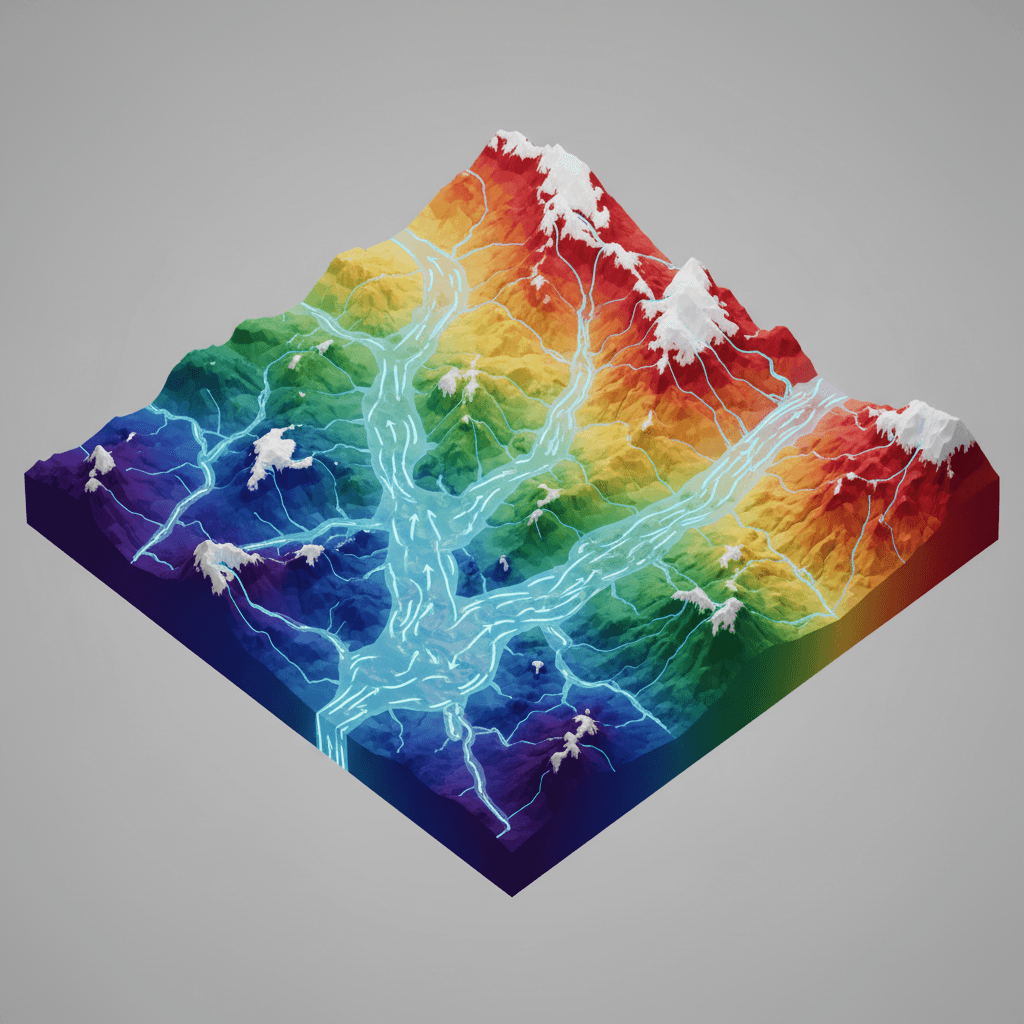
Slope Analysis & Drainage
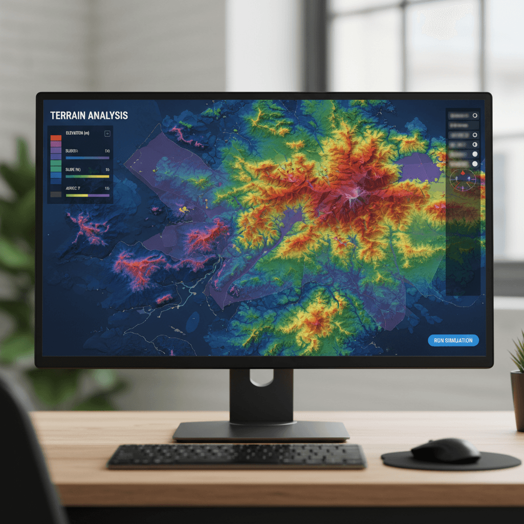
We derive survey-grade terrain models from high-resolution aerial data to simulate water flow with precision and identify flood-prone zones well in advance. This rigorous analysis provides the reliable foundation required to engineer drainage networks that integrate seamlessly with the natural topography.

Ground Control Point Matching
Every output is validated against survey-grade ground control points and cross-checked with RTK-corrected flight data, ensuring absolute positional accuracy within the centimeter. This dual-validation workflow is applied before any deliverable leaves our office, so the orthomosaics, point clouds, and 3D models you receive are ready for engineering use with full confidence.
Update Urban Planning Maps
Majed Aerial Solutions delivers current, centimeter-accurate mapping for new developments and master-planned communities. Our RTK-enabled drone technology captures every plot, roadway, and utility corridor with survey-grade precision of ±3 cm, ensuring your GIS base map remains rigorously aligned with actual site conditions and project progress.

AutoCAD-compatible export
We deliver survey-grade CAD deliverables in DWG and DXF formats, precisely georeferenced and optimized for immediate integration into architectural and civil engineering workflows — no post-processing or conversion required.
Frequently Asked Questions About Topographic Surveying
Quick answers on topographic surveying—reach out if you need more details.

Does your project require precise geospatial data?
Send your project details and receive a clear quote for your site in Riyadh. We respond fast and schedule flexibly around your timeline.