BIM-compatible datasets for construction site monitoring consist of high precision point clouds, orthomosaic maps, and 3D models derived from drone surveys or laser scanning. These digital assets integrate directly into platforms like Revit and Civil 3D; consequently, they enable project managers in Saudi Arabia to conduct accurate field verification and early deviation detection against original designs.
Project managers across Saudi Arabia often face the costly friction between idealized digital designs and the complex reality of a rapidly evolving job site. When site data remains trapped in incompatible silos, the risk of structural misalignments and schedule slippage increases significantly. At Majed Aerial Solutions, we recognize that precision aerial data is only valuable when it speaks the language of your BIM environment. This guide provides a technical roadmap for navigating the essential datasets required for modern site monitoring. We will examine the nuances of 3D point clouds, the critical differences between DTMs and DSMs, and the specific file formats required for seamless Revit integration. You will gain a practical understanding of how to align drone-derived reality capture with the rigorous infrastructure standards defined by Vision 2030.
The Evolution of Construction Reality Capture in Saudi Arabia
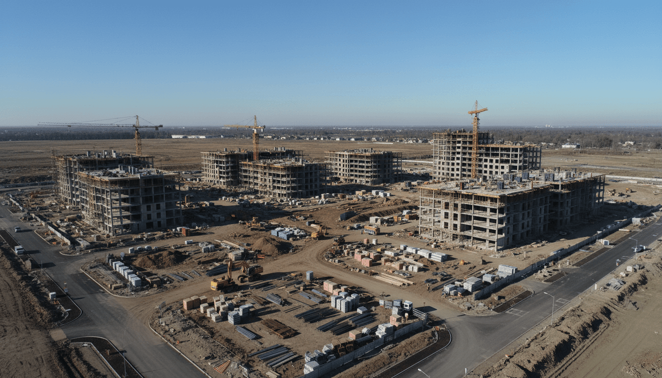
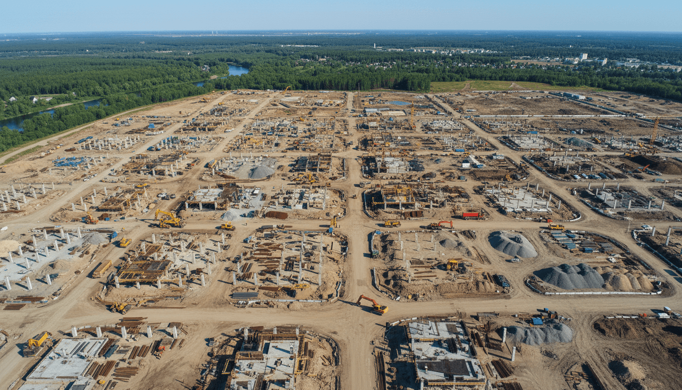
The scale of modern infrastructure projects in Riyadh and across the Kingdom necessitates a departure from manual, point-by-point data collection. Traditional topographical mapping services now integrate drone-based reality capture to meet the aggressive timelines of Vision 2030 mega-projects. This shift enables the generation of BIM-compatible datasets for construction site monitoring, moving beyond static site photos toward dynamic digital twins.
In Saudi Arabia, the validity of these datasets relies on strict regulatory compliance. Operating under dual licensing from GACA and GEOSA ensures that data is not only captured safely but meets the stringent geospatial standards required for government and engineering scrutiny. A professional 3D photogrammetry and BIM modeling workflow produces a georeferenced mathematical model of the jobsite rather than a simple visual record. Every pixel and point carries specific X, Y, and Z coordinates tied to the Saudi National Geodetic Network. This precision allows construction site monitoring teams to overlay as-built reality against design intent with millimetre-level confidence. These models serve as the foundational intelligence for modern Saudi job sites, transforming how contractors manage risk and verify progress in real time.
Core Deliverable 1: 3D Point Clouds (LAS and LAZ Formats)

A 3D point cloud represents the highest resolution of site reality currently available to engineers. In its simplest form, a point cloud is a collection of millions of individual data points, each containing precise X, Y, and Z coordinates, and often RGB color values. For topographical mapping services, these points form the mathematical skeleton of the physical site. The industry standard formats for these datasets are LAS and LAZ. While LAS is the base binary format, LAZ is its compressed counterpart; both are essential because they preserve the integrity of the spatial data while remaining compatible with Autodesk Revit and Civil 3D.
At Majed Aerial Solutions, we differentiate between photogrammetric point clouds and LiDAR based on the specific needs of the Riyadh terrain. Photogrammetry, derived from our high resolution 6K imaging sensors, provides an exceptionally high point density that is rich in visual detail, making it ideal for creating BIM-compatible datasets for construction site monitoring where surface texture and color are vital. While LiDAR is superior for penetrating dense vegetation to see the ground, the high density photogrammetric models we produce offer a more cost effective and visually intuitive solution for the vast majority of Saudi construction sites, where clear line of sight to the ground is common.
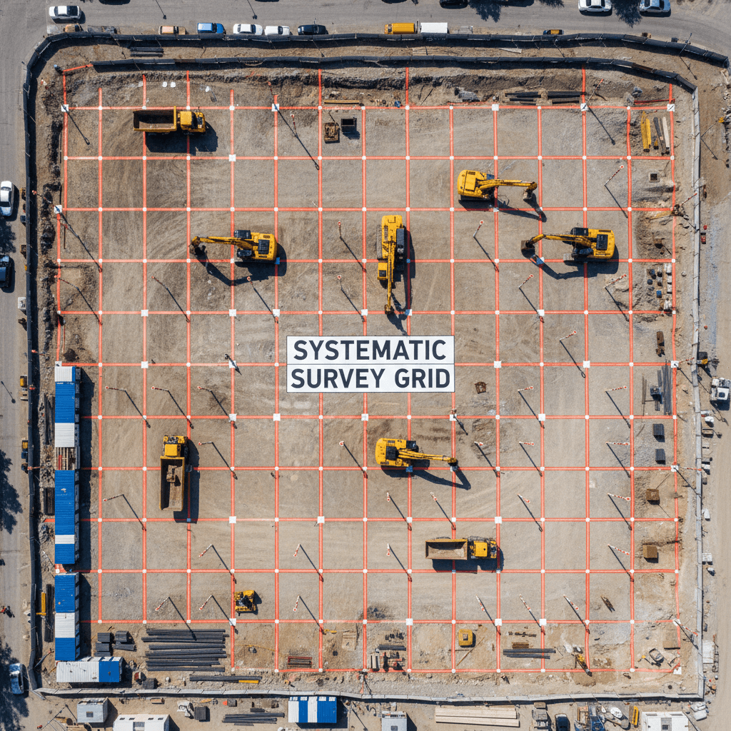
The utility of a point cloud for Saudi engineering standards depends entirely on its absolute accuracy. We achieve a horizontal and vertical accuracy of ±1 to 3 cm by utilizing RTK (Real-Time Kinematic) enabled drones, further validated through the placement of physical Ground Control Points (GCPs). This rigorous validation process ensures that the digital data aligns perfectly with the Saudi National Geodetic Network. Without this level of precision, a point cloud is merely a visual aid; with it, it becomes a legal and technical document suitable for volume calculations, structural analysis, and GEOSA compliant reporting. This level of detail allows BIM managers to trust that the digital twin they are viewing in their Riyadh design studio is a true reflection of the site's physical state.
What File Formats are Best for Importing Drone Data into Revit?

To integrate drone data effectively into Autodesk Revit, the industry standard involves a specific conversion workflow rather than a direct import of raw files. While drones generate LAS or LAZ formats, Revit requires indexed files to maintain performance and spatial integrity. The optimal file formats for this purpose are RCP (Reality Capture Project) and RCS (Reality Capture Scan).
The workflow begins by exporting a georeferenced LAS file from the photogrammetric processing stage. This file is imported into Autodesk ReCap, where the software indexes the millions of individual data points into a unified cloud. Once indexed, the resulting RCP or RCS file is linked into the Revit environment using the 'Point Cloud' command. This process ensures that the BIM-compatible datasets for construction site monitoring are correctly aligned with the project's internal coordinate system and the Saudi National Geodetic Network.
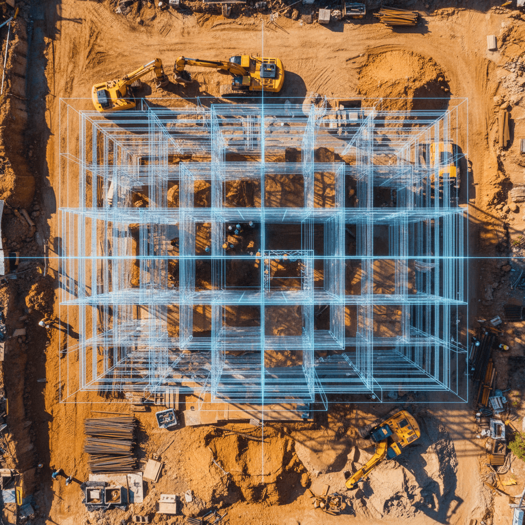
For BIM managers in Riyadh design studios, this capability is transformative. By linking the RCP file, teams can overlay the as-built drone data directly onto the as-designed architectural model. This immediate visual and mathematical comparison allows for the detection of structural deviations, utility clashes, or excavation errors before they become costly site issues. Utilizing 3D photogrammetry and BIM modeling in this way provides a level of quality control that traditional survey methods cannot match, providing a verified digital record of the project's physical state at any given moment.
Core Deliverable 2: Digital Terrain Models (DTM) vs. Digital Surface Models (DSM)
While point clouds provide the raw geometric data, the functional utility for engineering lies in the derived surface models. A common point of confusion for project managers is the distinction between a Digital Surface Model (DSM) and a Digital Terrain Model (DTM). In a DSM, every element visible to the sensor is represented in the height map. For a Riyadh job site, this includes tower cranes, site cabins, and temporary stockpiles. These models are crucial for construction site monitoring to track logistics and equipment placement in real time.
Conversely, a DTM represents the bare earth. Through advanced post-processing, our team filters out all non-ground objects, leaving only the topographical surface. This deliverable is mandatory for topographical mapping services aimed at civil engineering and hydrology. In the specific topography of the Riyadh Province, understanding natural drainage and wadi systems is critical; a DTM serves as the primary input for HEC-RAS flood modeling and permanent drainage design. Without stripping away the temporary site infrastructure, accurate hydrology simulations are impossible.
Feature | Digital Surface Model (DSM) | Digital Terrain Model (DTM) |
|---|---|---|
Primary Content | All features including machinery and buildings | Bare earth and natural ground only |
Main Use Case | Progress tracking and stockpile volumes | Hydrology, grading, and flood modeling |
BIM Integration | Visual site context and clash detection | Foundation design and earthworks planning |
For contractors managing large scale earthworks, the DTM provides the baseline for cut and fill analysis. By comparing the DTM against the original design grade, teams can generate 3D photogrammetry and BIM modeling outputs that quantify exactly how much material has been moved. These BIM-compatible datasets for construction site monitoring ensure that the civil works align with the geodetic standards required by GEOSA and local municipalities.
High Resolution Orthomosaics and Textured 3D Meshes
The GeoTIFF orthomosaic acts as the high resolution visual foundation for the entire jobsite. Unlike a standard aerial photograph, which suffers from perspective distortion, an orthomosaic is geometrically corrected to be map-accurate. This allows site managers to use it as a base layer for construction site monitoring, enabling direct measurements of distances and areas across the horizontal plane. Because these files are georeferenced, they integrate seamlessly into GIS environments and CAD overlays, providing a real-time, high-fidelity alternative to outdated satellite imagery.
While orthomosaics provide the plan view, textured 3D meshes offer the volumetric context required for stakeholder presentations and virtual walkthroughs. Delivered typically in .OBJ or .FBX formats, these meshes drape high-resolution photographic textures over the 3D geometry. This creates a photorealistic digital twin that allows project directors in Riyadh to navigate the site from their office. These BIM-compatible datasets for construction site monitoring are far more than aesthetic tools; they provide measurable visual intelligence. A project manager can inspect the quality of a concrete pour, verify the positioning of safety hoarding, or confirm the completion of facade elements with high confidence. By utilizing 3D photogrammetry and BIM modeling, these meshes bridge the gap between abstract engineering data and the physical reality of the Saudi construction landscape.
Integrating Drone Data into the BIM Design vs. Built Workflow
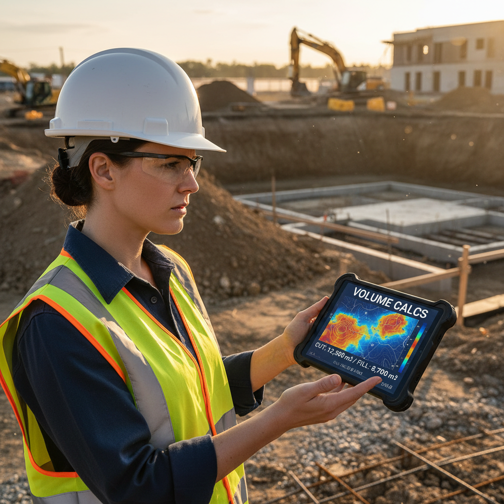
Integrating drone data into the BIM workflow transforms passive site records into active management tools. By converting captured point clouds into intelligent models, engineering teams perform rigorous deviation detection, ensuring that the physical structure matches the Revit model within the required tolerances. This is particularly critical for utility coordination; documenting underground MEP rough-ins before backfilling prevents costly rework and long-term maintenance complications that might otherwise remain hidden until commissioning.
The primary advantage of these BIM-compatible datasets for construction site monitoring is the creation of a time-series record. In the fast-paced environment of Riyadh’s mega-projects, weekly or monthly drone flights provide a chronological digital twin of the site. This historical data protects contractors against liquidated damages and payment disputes by providing irrefutable, georeferenced evidence of progress at any given date. If a subcontractor claims a delay due to site access or existing conditions, the project manager can simply roll back the digital model to that specific week to verify the claim with absolute spatial certainty.
Furthermore, these datasets facilitate better communication between the field and the design studio. When site managers use 3D photogrammetry and BIM modeling, they can identify clashes in real time, rather than discovering them during the final handover. This proactive approach to topographical mapping services and site capture ensures that Saudi infrastructure projects remain on schedule, providing the verified documentation necessary for progress reporting under Vision 2030 mandates. By maintaining this continuous loop between the as-designed and as-built states, construction site monitoring teams can manage risk with far greater precision than traditional manual inspections allow.
Technical Specifications for Saudi Infrastructure Projects
Professional infrastructure surveying in the Kingdom requires strict adherence to GEOSA and GACA standards. Technical specifications must define the coordinate system, typically utilizing WGS 84 / UTM Zone 37N or 38N, though specific government projects in Riyadh may mandate MGRS or localized Saudi grids. To maintain these standards, Majed Aerial Solutions utilizes a professional fleet equipped with RTK technology. This significantly reduces the manual labor and exposure time required by ground crews while ensuring the BIM-compatible datasets for construction site monitoring achieve a horizontal and vertical accuracy of ±1 to 3 cm.
A critical component of any GEOSA-compliant submission is the Survey Accuracy Assessment Report. We provide this formal documentation to validate that our topographical mapping services align perfectly with established benchmarks. The report details the Root Mean Square Error (RMSE) and confirms that the 3D photogrammetry and BIM modeling outputs meet the rigorous precision demands of Saudi mega-projects. This technical transparency is essential for the final approval and long-term utility of data used in construction site monitoring across the Riyadh Province.
Successfully monitoring construction sites in Saudi Arabia requires a deep understanding of BIM-compatible data standards. By prioritizing accuracy and technical consistency, project managers can streamline workflows and reduce costly errors. If you want expert help in streamlining this process, Majed Aerial Solutions provides specialized support. Our team focuses on delivering high-fidelity datasets through 3D Photogrammetry & BIM Modeling. This natural extension of your workflow ensures that every deliverable aligns with your project goals, helping you maintain total control over your site development.