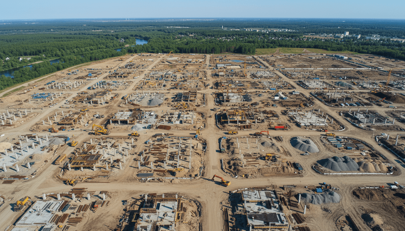
Saudi engineering firms prefer licensed operators to ensure strict compliance with GACA regulations and to secure the centimeter-level accuracy required for large-scale infrastructure projects. By outsourcing to experts with an rtk survey drone Saudi Arabia, companies avoid the high costs of pilot training and equipment maintenance while maintaining the precision needed for megaproject site intelligence. This approach mitigates operational risks and guarantees that all aerial data meets the kingdom's rigorous safety and legal standards.
Achieving centimeter-level precision on Saudi Arabia’s giga-projects should be straightforward; however, many engineering firms find themselves trapped between high equipment costs and complex regulatory hurdles. While an RTK survey drone offers transformative speed, the reality of managing GACA compliance and GEOSA standards often stalls progress before the first flight begins. This gap between owning hardware and delivering actionable, BIM-ready data can derail critical timelines. In this guide, we explore why industry leaders are moving away from internal drone programs in favor of licensed specialized partners. You will learn about the hidden financial realities of ownership, the technical necessity of professional GCP validation, and how professional operators mitigate operational risks. Ultimately, we provide a decision matrix to help you determine the most efficient path for your firm’s aerial surveying requirements.
The Rise of the RTK Survey Drone in Saudi Arabia Megaprojects
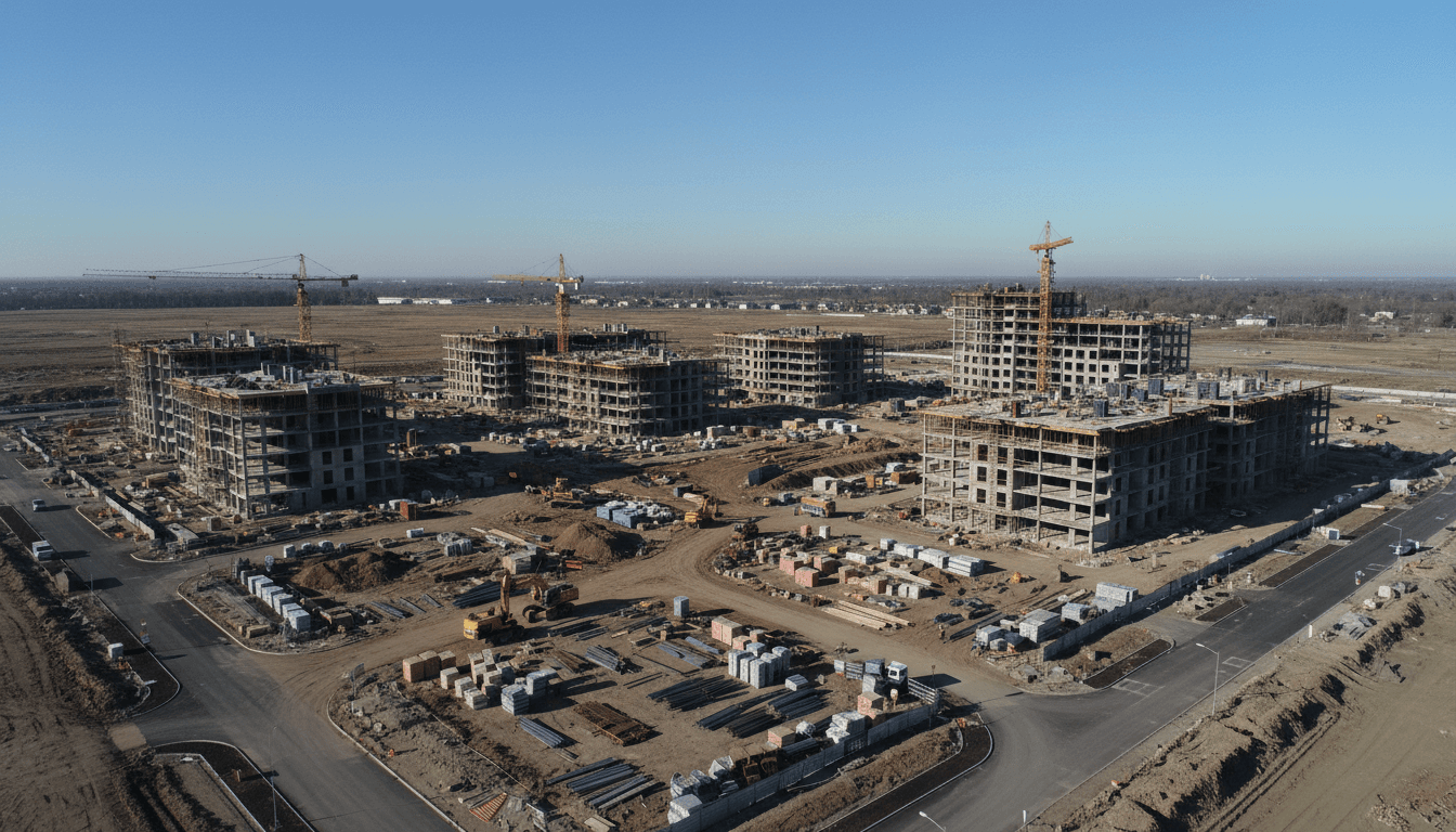
The scale of Vision 2030 megaprojects, including NEOM, the Red Sea Project, and Qiddiya, has redefined the baseline for engineering data. In the Kingdom’s current construction landscape, the rtk survey drone Saudi Arabia market has transitioned from a niche luxury into a fundamental requirement for precision engineering. Standard commercial drones, which rely on basic GNSS, often suffer from positioning errors of three to five meters. In a multi-billion dollar infrastructure project where earthwork volumes and structural alignments must be exact, such discrepancies are unacceptable under KSA’s rigorous infrastructure standards.
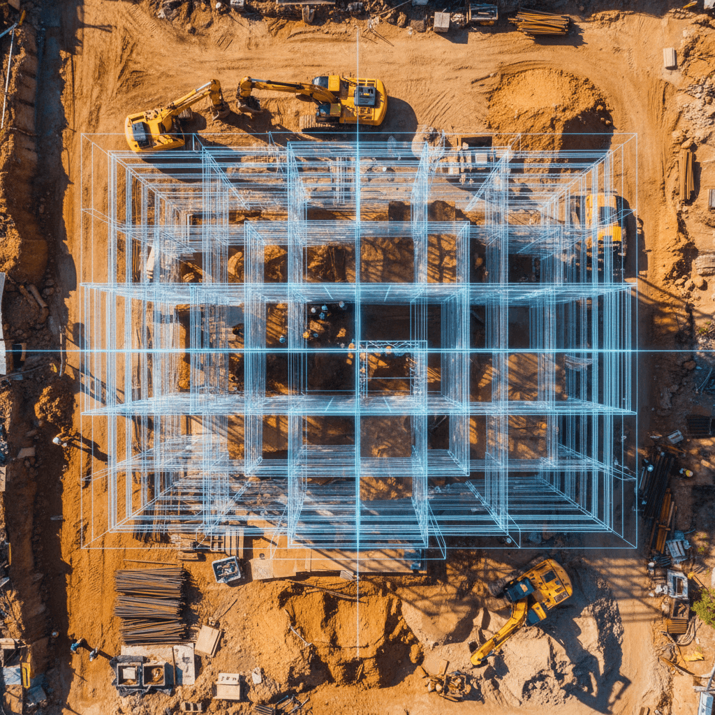
Real-Time Kinematic (RTK) technology solves this by providing centimeter-level accuracy, typically between 1 to 3 cm, by correcting satellite data in real-time against a fixed ground station or network. For an engineering firm in Riyadh, adopting RTK aerial surveying is about more than just better imagery; it is about meeting the specific technical requirements for accuracy and reliability. As projects move from planning to execution, the demand for survey-grade data that integrates directly into BIM workflows has made high-precision drones the industry standard. This shift ensures that site captures are not just visual records, but geodetically accurate digital twins capable of supporting complex engineering tasks.
The Financial Reality: Calculating the Total Cost of Ownership
The sticker price of an rtk survey drone Saudi Arabia based firms might see online is only the entry point of a complex financial commitment. A professional grade DJI Matrice 350 RTK bundle, which is the current industry workhorse for high precision mapping, typically starts at $26,000 (approximately SAR 97,500). However, focusing solely on the initial hardware purchase obscures the recurring costs essential for maintaining survey grade accuracy and operational safety in the Kingdom.
Cost Category | Estimated Expense (Initial/Annual) |
|---|---|
Professional RTK Hardware Bundle | $26,000 (SAR 97,500) per unit |
Photogrammetry Software Subscriptions | SAR 5,000 – 15,000 per year |
Specialized Drone Insurance | 5% – 10% of hull value per year |
RTK Correction Network Access | SAR 1,000 – 4,000 per year |
Beyond the hardware, engineering firms must account for specialized insurance, which is a prerequisite for operating on major construction sites. This coverage often ranges from 5 to 10 percent of the drone's hull value annually. High end photogrammetry software required to process raw data into actionable deliverables carries subscription fees between SAR 5,000 and SAR 15,000 per year. When you add the cost of RTK correction network access and the rapid depreciation of flight batteries, the total cost of ownership escalates well beyond the initial invoice.
For many Riyadh based engineering firms, building an internal department creates a heavy capital expenditure (CAPEX) burden. Maintaining a specialized 8 drone fleet, similar to the professional fleet managed by Majed Aerial Solutions, requires continuous investment in hardware cycles and staff training. Transitioning to an operational expense (OPEX) model by hiring an external provider allows firms to access RTK aerial surveying capabilities without the liability of depreciating assets or the logistical overhead of fleet management. This approach ensures project budgets are focused on high quality data rather than the administrative weight of drone ownership.
The Regulatory Burden: GACA and GEOSA Dual Licensing
Operating an rtk survey drone Saudi Arabia requires navigating a sophisticated regulatory landscape that extends far beyond a simple flight permit. In the Kingdom, engineering firms face a mandatory dual-license framework that separates the act of flying from the act of data collection. This regulatory wall is often the primary reason in-house programs stall before their first mission.
The first pillar of compliance is the General Authority of Civil Aviation (GACA). Under GACAR Part 107, every commercial drone pilot must hold a valid Remote Pilot License, while the hardware itself must be registered under GACAR Part 48. These regulations ensure safety within the national airspace, but they only cover the aviation side of the operation. Without these credentials, any drone flight is unauthorized, posing significant legal and financial risks to the parent company.
The second, and often more complex, pillar is the General Authority for Survey and Geospatial Information (GEOSA). GEOSA oversight is mandatory for RTK aerial surveying and any activity involving the collection or processing of geospatial data. Obtaining these permits requires demonstrating technical competency and strict data security protocols that can take months of administrative overhead to establish from scratch.
Majed Aerial Solutions operates as a fully compliant, dual-licensed entity with GACA registration (UA-38575) and GEOSA authorization. For a Riyadh based engineering firm, the decision to hire a licensed operator is a strategic move to bypass this bureaucratic friction. Managing security clearances, flight authorizations for restricted zones, and geospatial permits in-house often results in significant project delays. By partnering with a company that already holds these credentials, firms ensure their projects remain compliant with Saudi law while focusing their internal resources on core engineering tasks.
Technical Accuracy and GCP Validation: Why Pilots are Not Always Surveyors
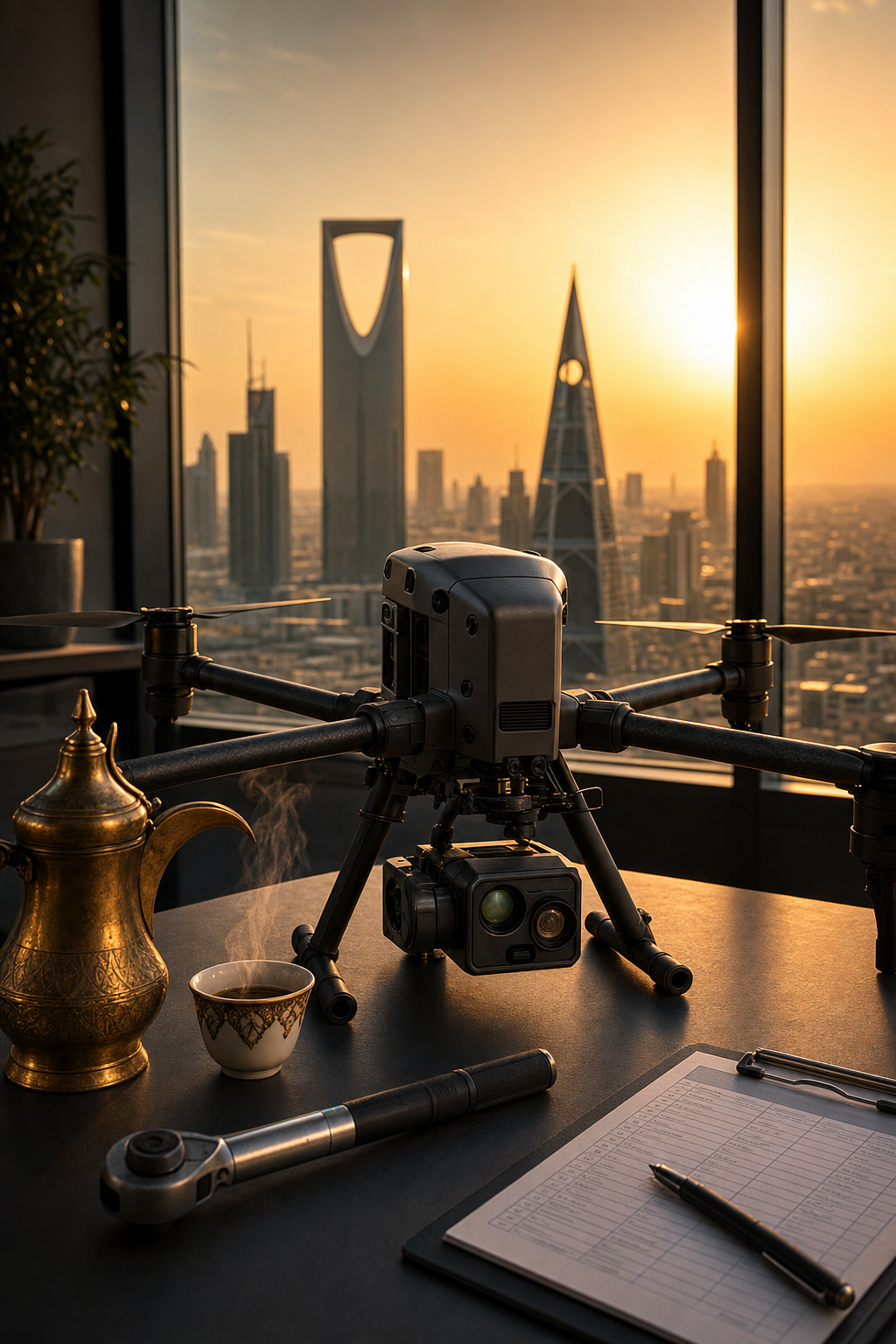
The primary question engineering clients ask is: "How accurate is a drone survey?" While an rtk survey drone Saudi Arabia based firms might purchase promises centimeter-level precision, that figure represents the position of the aircraft, not necessarily the absolute accuracy of the final map. Achieving a survey-grade result requires a technical workflow that goes far beyond simply maintaining an RTK link.
At Majed Aerial Solutions, we achieve a validated accuracy of plus or minus 1 to 3 cm. This is not accomplished by the drone alone, but through the strategic use of Ground Control Points (GCPs) and independent checkpoints. These physical markers on the ground, measured with high-precision GNSS rovers, act as a geodetic "truth" layer. They allow our team to validate the photogrammetric model and correct for any tilt, lens distortion, or atmospheric errors that processing software might otherwise miss. Without this validation, data remains unverified, which is a liability in professional engineering.
The gap between flying a drone and executing a survey-grade mission is significant. In-house programs often fall into the trap of producing visually impressive orthomosaics that lack the rigorous coordinate precision required for high-stakes infrastructure. If the data is not anchored correctly, it becomes useless for Building Information Modeling (BIM) or GIS and hydrology modeling, such as HEC-RAS simulations for flood risk analysis. In these scenarios, a five-centimeter shift in elevation data can lead to fundamental design errors. Professional RTK aerial surveying ensures that the digital twin matches the physical reality of the site, providing the reliable foundation necessary for the Kingdom’s most ambitious megaprojects.
Data Processing: From Raw Imagery to BIM Ready Deliverables
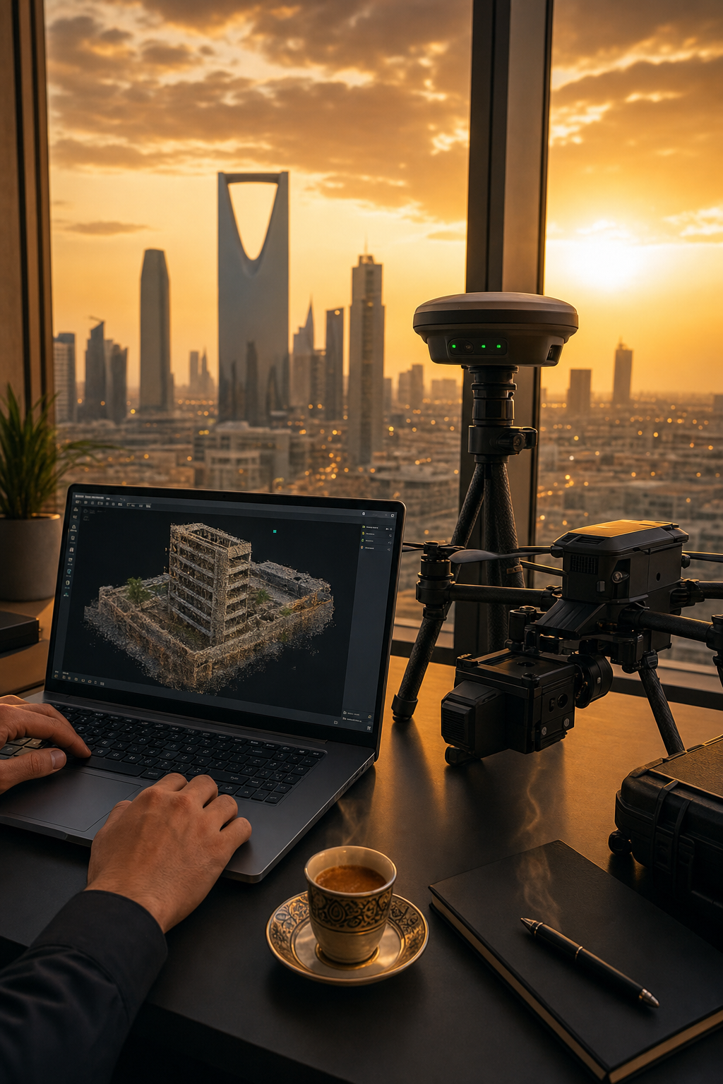
Collecting raw aerial data is often the simplest phase of a mission; the flight itself typically accounts for only 20 percent of the total workload. The true complexity lies in the backend processing, where raw captures from an rtk survey drone Saudi Arabia mission are refined into high fidelity digital assets. This transition requires high performance computing and specialized photogrammetry expertise to generate dense 3D point clouds and centimeter accurate orthomosaics that align with the Kingdom’s geodetic standards.
Professional deliverables must be immediately actionable within an engineering environment. Majed Aerial Solutions ensures that every output is fully compatible with software like AutoCAD, Civil 3D, and Revit, facilitating seamless integration into Building Information Modeling (BIM) workflows. Beyond simple visualization, our team applies a layer of intelligence to the data. By combining 3D photogrammetric modeling with specialized GIS and hydrology analysis, we provide engineering firms with more than just a map. We deliver hydraulic modeling, HEC-RAS flood simulations, and volumetric calculations. This level of technical depth is rarely achievable with a standard in-house drone setup, which often lacks the specialized software licenses and the geospatial engineering background required to move from raw imagery to a verified engineering deliverable.
Operational Risk and Redundancy: The Benefit of a Professional Fleet
In the vast landscapes of Tabuk or the rugged terrain of AlUla, environmental factors like extreme temperatures and fine dust can stress even the most advanced rtk survey drone Saudi Arabia has to offer. For an engineering firm managing an in-house program, the hardware often represents a single point of failure. If the sole drone in their inventory suffers a mechanical malfunction or a landing incident on-site, the entire survey operation grinds to a halt. The financial impact of mobilized crews sitting idle while waiting for a replacement unit to be shipped from a central office can quickly eclipse the perceived savings of an internal drone department.
Majed Aerial Solutions mitigates this operational risk through absolute redundancy. By maintaining a specialized 8-drone professional fleet, we ensure that every mission is backed by immediate hardware alternatives. If a technical issue arises in a remote region, our workflow allows for a seamless transition to a backup aircraft, guaranteeing zero downtime for the client’s project timeline. Furthermore, our capabilities extend beyond technical data. With GAMR licensing for media operations (Reg. 646781), we provide cinematic 6K aerial photography and live broadcasts alongside RTK aerial surveying. This dual capacity allows engineering firms to secure precision geospatial data while simultaneously fulfilling stakeholder requirements for high-quality progress reporting, all through a single, professionally insured provider.
Summary: Hire vs Buy Decision Matrix for Saudi Engineering Firms
Selecting the right path for an rtk survey drone Saudi Arabia strategy requires balancing initial investment against long-term operational viability. For most Riyadh based engineering firms, the decision rests on whether they wish to become a flight operations company or remain focused on core design and construction. The table below outlines the primary considerations for choosing between an in-house program and a licensed operator like Majed Aerial Solutions.
Criteria | In-House Program | Licensed Operator (Majed Aerial) |
|---|---|---|
Regulatory Status | High overhead (GACA/GEOSA) | Fully Dual-Licensed (UA-38575/GEOSA) |
Capital Risk | High (Hardware depreciation) | Zero (Fixed OPEX model) |
Data Accuracy | Variable/Unvalidated | Guaranteed ±1–3 cm with GCPs |
Workforce | Pilot training and turnover risks | Expert GIS and survey team |
Software Costs | SAR 5,000 – 15,000+ per year | Included in deliverables |
Redundancy | Single point of failure | 8-drone professional fleet |
For many firms, the recurring costs of photogrammetry software and the administrative burden of maintaining GEOSA permits for RTK aerial surveying create a significant drain on resources. Technical accuracy is another critical differentiator. While an in-house pilot may capture imagery, a specialized operator provides the geodetic validation required for high stakes infrastructure projects. Unless an engineering firm is flying daily across multiple sites, hiring a specialized Saudi registered company remains the superior choice for mitigating operational risk and ensuring the data quality necessary for Vision 2030 megaprojects.