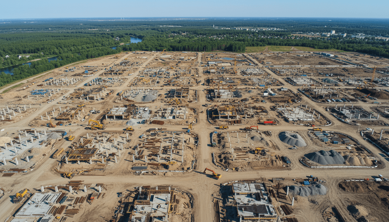
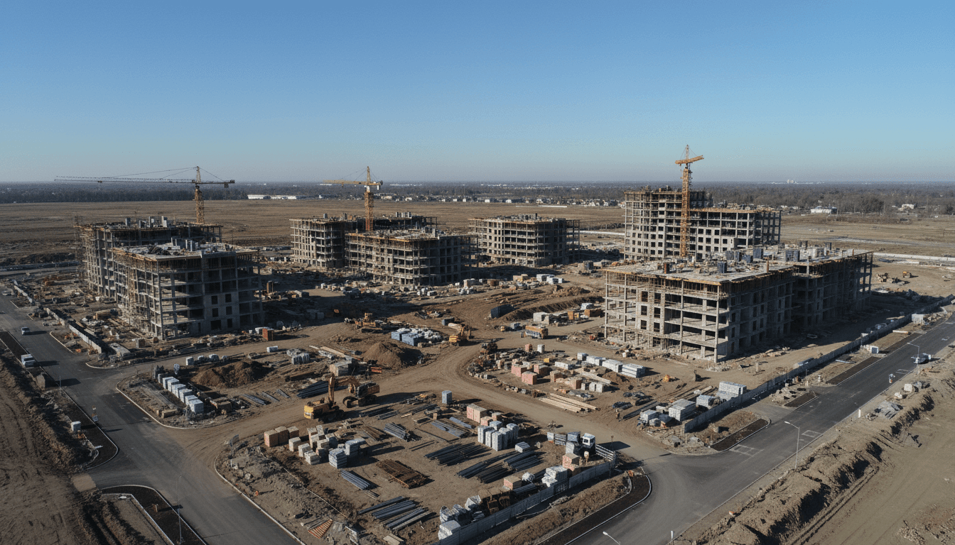
Drone construction progress monitoring Saudi Arabia streamlines large-scale project management by providing accurate 3D mapping, high-resolution aerial imagery, and automated volume calculations. These digital tools allow project managers to track real-time site changes, verify as-built data, and improve safety standards across the Kingdom's infrastructure landscape. By integrating drone technology, stakeholders ensure timely delivery and data-driven decision-making for complex construction developments.
Managing a large-scale construction site in Saudi Arabia often feels like a race against invisible delays; traditional reporting methods leave project managers reacting to problems that occurred days or weeks ago. In the high-stakes environment of Vision 2030, these data gaps result in costly rework and compromised timelines. Majed Aerial Solutions understands that modern site oversight requires more than just high-altitude photos; it demands actionable intelligence. This guide provides a strategic roadmap for implementing advanced drone monitoring. You will learn how to automate cut and fill volume calculations, integrate as-built data directly into BIM workflows, and navigate the specific GACA and GEOSA regulatory frameworks required for legal operations in the Kingdom. We will also examine how 6K live broadcasting and structured flight schedules maximize ROI, ensuring your project remains on track and fully transparent.
The Evolution of Site Oversight: Beyond Aerial Photography
Traditional site oversight in the Kingdom relied heavily on manual ground inspections and basic photography. While these methods provided a snapshot of activity, they often lacked the precision required for large-scale engineering. In the context of Saudi Arabia’s ambitious Vision 2030 projects, where the speed of development is unprecedented, these traditional methods have become operational bottlenecks. A site supervisor conducting a manual walkthrough of a multi-kilometer infrastructure project in Riyadh cannot capture the granular detail required for modern BIM workflows or rigorous project scheduling.
Modern drone construction progress monitoring Saudi Arabia has transitioned from capturing simple visual updates to delivering high-precision geospatial data. While early drone adoption focused on marketing imagery, current Construction Monitoring protocols leverage RTK aerial surveying to achieve ±1 to 3 cm accuracy. Automated drone missions ensure that data collection is repeatable and consistent, removing the subjectivity and human error inherent in manual reporting.
The sheer scale of mega-projects like the Riyadh Metro or New Murabba demands a level of data density that traditional methods cannot match. A single automated flight captures millions of data points across hundreds of hectares in minutes. This shift provides stakeholders with an objective, digital record of the site, transforming oversight from a reactive task into a proactive, data-driven strategy essential for the Kingdom’s rapid infrastructure development.
Critical Deliverables for Saudi Construction Stakeholders

Effective drone construction progress monitoring Saudi Arabia requires moving beyond visual inspection to actionable, survey-grade data. The core of this data lies in three primary engineering deliverables: high-resolution orthomosaics, 3D point clouds, and textured mesh models.
An orthomosaic is not a single aerial photo but a georeferenced map composed of hundreds of individual images corrected for lens distortion and topographic relief. For project managers in Riyadh, this provides a geometrically accurate top-down view where every pixel carries spatial data. This allows for precise measurements of distances and areas directly within a GIS or CAD environment.
For structural oversight and site analysis, 3D photogrammetric modeling generates high-density point clouds. These clouds consist of millions of individual data points that define the exact geometry of the site at a specific moment in time. When processed into textured mesh models, they provide a navigable digital replica of as-built conditions, allowing stakeholders to inspect hard to reach structural elements without leaving the office.
Deliverable Type | Primary Output | Typical Use Case |
|---|---|---|
Orthomosaic | 2D Georeferenced Map | Site planning, logistics, and area measurements |
3D Point Cloud | LAS/XYZ Data Files | Topographic mapping and volume calculations |
3D Textured Mesh | Digital Twin (OBJ/FBX) | Visualizing progress and BIM comparison |
Cinematic Video | 6K RAW / 4K Broadcast | Stakeholder reporting and project marketing |
The distinction between marketing media and engineering data is critical for site accuracy. While cinematic 6K video serves stakeholder presentations, it lacks the spatial integrity required for technical site management. Majed Aerial Solutions bridges this gap by utilizing RTK aerial surveying equipment. By integrating Real-Time Kinematic positioning with Ground Control Point (GCP) validation, we deliver horizontal and vertical accuracy within a ±1 to 3 cm range. This level of precision, backed by our GACA (UA-38575) and GEOSA licenses, ensures that the digital data captured on-site is reliable for critical engineering decisions.
Automating Earthwork: Cut and Fill Volume Calculations
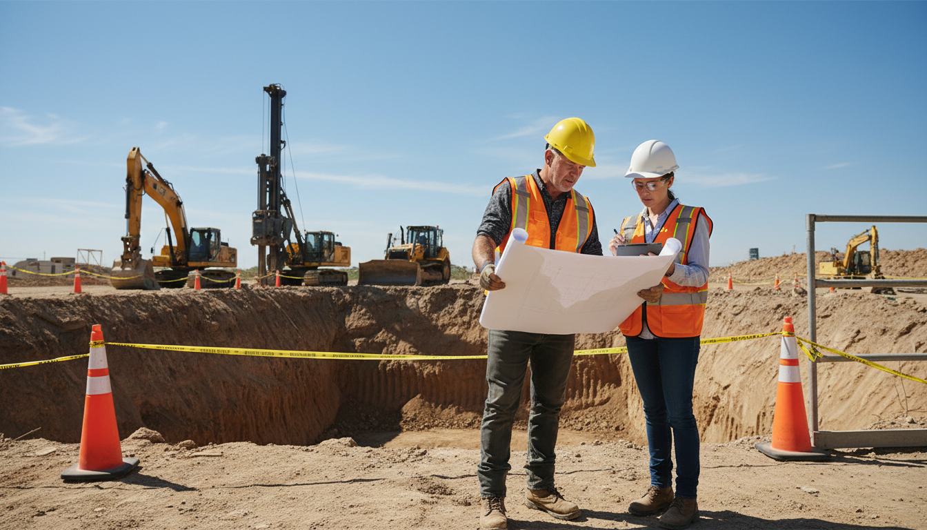
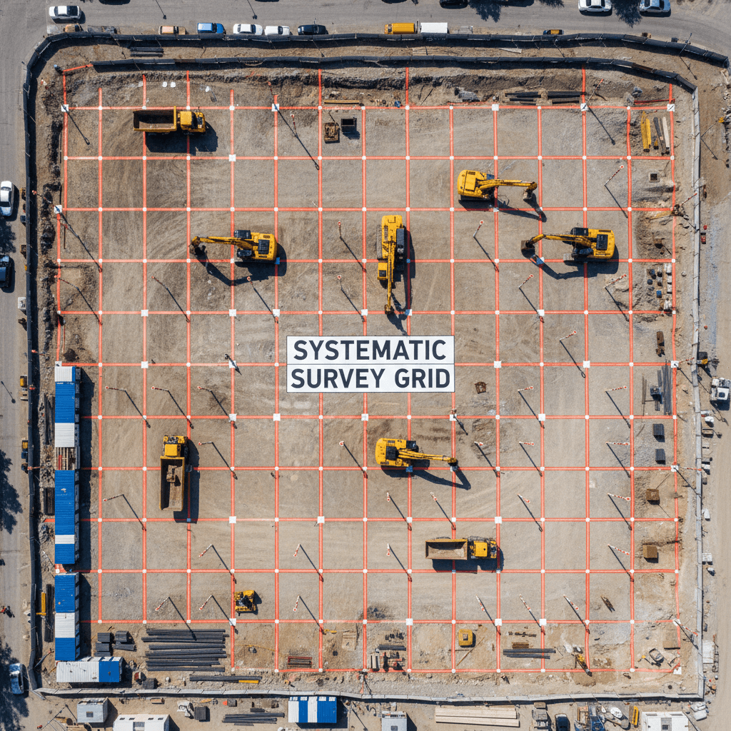
With high-precision 3D point clouds established, the most immediate application for drone construction progress monitoring Saudi Arabia is the automation of earthwork analysis. Traditional topographic surveying for cut fill volume calculation often requires teams to manually traverse active sites, taking measurements at 5 or 10-meter intervals. This method is slow, labor-intensive, and inherently dangerous in high-traffic excavation zones. By contrast, RTK aerial surveying captures millions of data points across the entire site surface in a single flight, creating a continuous digital elevation model rather than a sparse grid.
This level of data density is crucial for managing large-scale excavation pits and irregular stockpiles. While manual methods often rely on geometric approximations for volume, drone-derived 3D models account for every slope variation and surface irregularity. For project managers overseeing massive earthmoving operations in Riyadh, this provides a definitive, objective record of material moved.
Metric | Traditional Surveying | RTK Drone Surveying |
|---|---|---|
Data Points | Hundreds (discrete grid) | Millions (continuous surface) |
Time on Site | Days or weeks | Minutes or hours |
Calculation Method | Interpolation between points | Volumetric mesh analysis |
Safety Risk | High (personnel on active site) | Low (remote operation) |
The practical value extends directly to financial oversight. Precise volume reports allow for the rigorous validation of subcontractor invoices. Instead of relying on estimated truck counts, which are prone to inflation and human error, stakeholders can use Construction Monitoring data to pay exactly for the cubic meters excavated or filled. This objectivity reduces disputes and ensures strict budget adherence during the intensive earthworks phase of Saudi infrastructure development.
BIM Integration: Comparing As-Built Data with Design Models
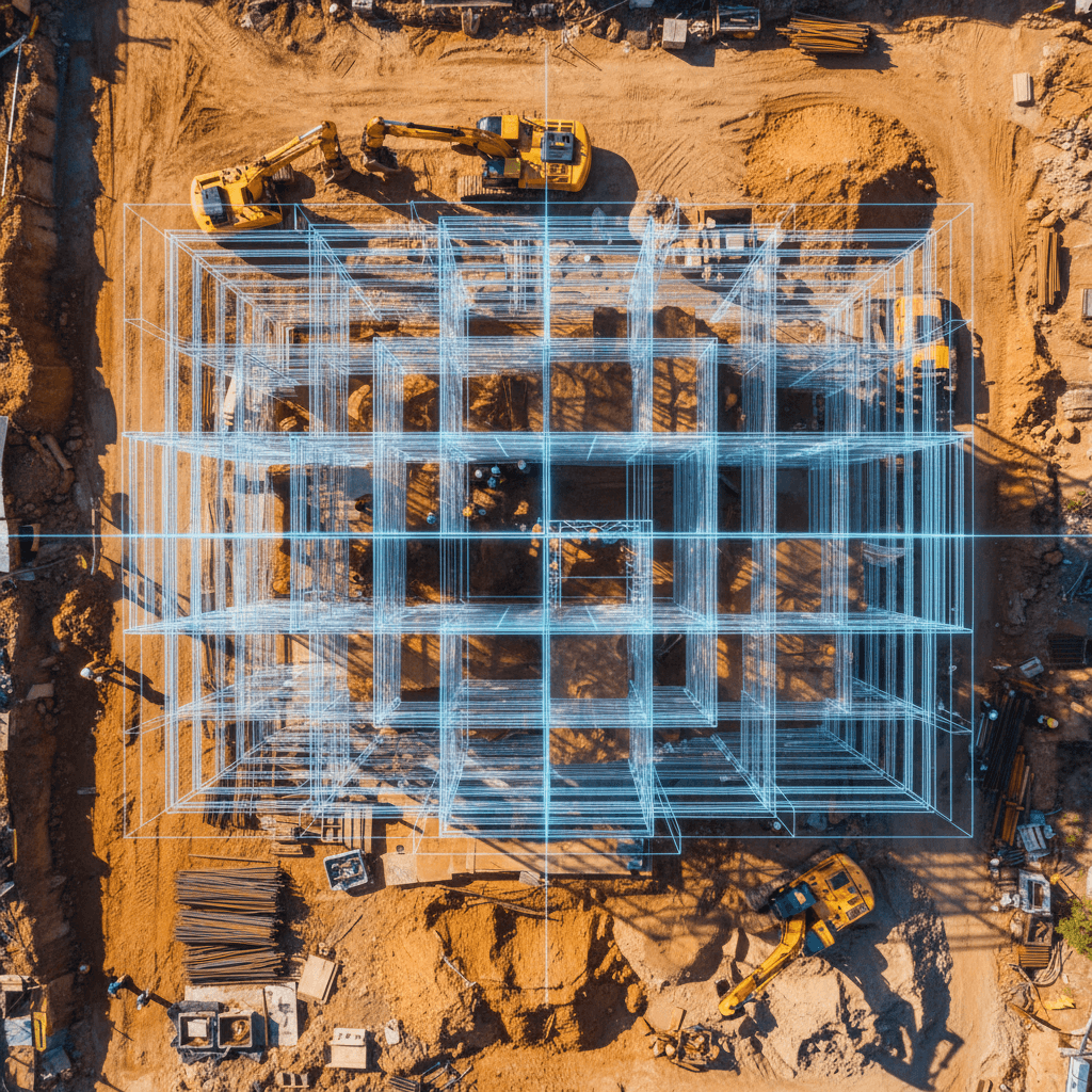
Building on the precision of volumetric analysis, the integration of 3D photogrammetric modeling into Building Information Modeling (BIM) workflows represents the apex of modern site oversight. Instead of treating aerial data as a standalone report, project engineers in Riyadh now export high-density point clouds directly into environments like Autodesk Revit or Navisworks. This workflow involves aligning the georeferenced as-built data with the original IFC design files to conduct a side-by-side comparison of the physical site against the digital blueprint.
This process is vital for early-stage clash detection. When a drone captures the exact state of structural steel or concrete formwork, the software identifies geometric deviations where the physical build strays from the architectural intent. Identifying a misplaced utility conduit or a misaligned load-bearing wall early in the cycle prevents compounding errors and costly rework that could otherwise derail aggressive Vision 2030 timelines.
BIM Integration Phase | Actionable Data Output | Impact on Project |
|---|---|---|
Structural Validation | Point Cloud vs. Revit Model | Identifies structural misalignments |
MEP Coordination | 3D Mesh Overlay | Detects pipe/ductwork clashes |
Digital Twin Update | Sequential Georeferenced Models | Creates a permanent, chronological site record |
This continuous feedback loop is the foundation of the Digital Twin initiative prevalent across Riyadh’s mega-projects. By maintaining a living digital replica that updates with every flight, stakeholders ensure the virtual model remains a truthful representation of reality. Majed Aerial Solutions facilitates this by providing data in formats compatible with international engineering standards, ensuring that drone construction progress monitoring Saudi Arabia serves as a reliable bridge between the physical site and the lead architect’s office.
Regulatory Compliance: GACA, GEOSA, and GAMR Licenses in KSA

In Riyadh and across the Kingdom, the regulatory framework for Unmanned Aerial Systems (UAS) is rigorous. Compliance is not a bureaucratic formality; it is a prerequisite for site access and data legitimacy. For project managers, verifying an operator’s credentials is the first step in mitigating legal and operational risk.
Majed Aerial Solutions operates under a comprehensive legal framework. We are dual-licensed by the General Authority of Civil Aviation (GACA) under registration UA-38575 and the General Authority for Survey and Geospatial Information (GEOSA). Furthermore, for media and live broadcasting requirements, we hold a GAMR license (Reg. 646781). This combination of permits is essential for projects that require both high-precision engineering data and cinematic documentation.
Authority | License Scope | Importance for Construction |
|---|---|---|
GACA | Airspace & Flight Safety | Legal permission to operate UAS in Saudi airspace |
GEOSA | Geospatial Data & Mapping | Authorization for survey-grade data and RTK aerial surveying |
GAMR | Media & Content | Legal clearance for filming, photography, and live broadcasts |
Using an unlicensed operator for drone construction progress monitoring Saudi Arabia exposes stakeholders to significant liability. Authorities in Riyadh Province maintain strict oversight of mega-project sites. Unlicensed flights often lead to immediate work stoppages, equipment confiscation, and heavy financial penalties for both the operator and the hiring contractor. Ensuring your partner is fully registered protects the project timeline and ensures that all geospatial outputs are legally admissible for government and municipal audits.
The Strategic Advantage of Live 6K Broadcast for Remote Management
While historical data and 3D models are essential for engineering precision, large-scale projects in the Kingdom often require immediate situational awareness that static reports cannot provide. Majed Aerial Solutions addresses this by offering live 6K aerial broadcasts, a significant advancement in drone construction progress monitoring Saudi Arabia. This capability allows executive stakeholders based in Riyadh, or international partners located globally, to conduct virtual site visits in real-time without the logistical delays of physical travel.
Utilizing our GAMR-licensed media infrastructure, we stream ultra-high-definition feeds directly from the flight controller to a secure, encrypted viewing platform. Unlike standard recorded media, this live stream enables interactive oversight; site managers can communicate directly with the pilot to focus on specific structural elements, such as a critical concrete pour or a complex equipment installation.
Feature | Standard Remote Reporting | Majed 6K Live Broadcast |
|---|---|---|
Visual Resolution | 1080p or 4K Recorded | 6K Live Feed |
Feedback Loop | 24 to 48 hours | Instant / Real-time |
Stakeholder Access | Localized file sharing | Global secure web link |
Operational Use | Retrospective review | Active site management |
This level of transparency is particularly effective for Construction Monitoring on projects with aggressive timelines. It bridges the communication gap between local field teams and global design offices, ensuring that every stakeholder has an identical, live view of the site. By integrating this into a broader RTK aerial surveying workflow, project leads can verify that daily activities align with the project schedule in real-time.
Implementing a Drone Monitoring Schedule: Frequency and ROI
To maximize the return on investment for drone construction progress monitoring Saudi Arabia, the flight schedule must align with the project’s specific velocity and complexity. During high-impact stages such as excavation and foundation work, weekly flights are standard. This frequency captures rapid changes in site topography, which is essential for accurate RTK aerial surveying and volumetric auditing. As the project moves into structural and envelope phases, bi-weekly flights typically suffice to maintain the digital twin and identify clashes via 3D photogrammetric modeling.
Project Phase | Recommended Frequency | Primary Data Focus |
|---|---|---|
Site Prep & Earthworks | Weekly | Volumetrics & Slope Analysis |
Foundations & Piling | Weekly | Positional Accuracy & BIM Alignment |
Structural Framing | Bi-Weekly | As-Built vs. Design Comparison |
Interior Fit-out | Monthly | Asset Management & Compliance |
The ROI of consistent Construction Monitoring manifests in tangible cost offsets. By detecting structural misalignments early, firms avoid the exponential costs of late-stage rework. Additionally, remote oversight reduces the logistical burden and travel costs for stakeholders based in Riyadh or Jeddah who would otherwise require frequent site visits. Utilizing automated missions ensures the identical angles principle; by fixing GPS coordinates for every capture, the drone produces consistent, repeatable datasets. This technical consistency is vital for creating high-fidelity time-lapses and objective chronological audits, which can also contribute to lower insurance premiums by providing a verifiable record of site safety and adherence to protocols.
Integrating drone technology into your project management workflow offers a transformative approach to data collection, safety, and reporting accuracy within the Saudi Arabian market. While the benefits of real-time insights are clear, navigating the technical and regulatory landscape effectively requires specific expertise. If you want expert help to streamline your workflow and ensure precise data delivery, Majed Aerial Solutions is ready to support your goals. Discover how professional Construction Monitoring can optimize your site operations; we provide the tools needed to turn aerial imagery into actionable intelligence.