
3D Hydrological Research for Infrastructure
We deliver precise water flow and flood analysis using advanced GIS and HEC-RAS modeling. We empower road, bridge, and infrastructure developers to make informed decisions based on high-accuracy geospatial data.
Flood Simulation & Smart Drainage Solutions
High-precision 3D modeling using HEC-RAS and GIS for infrastructure planning and urban flood protection.
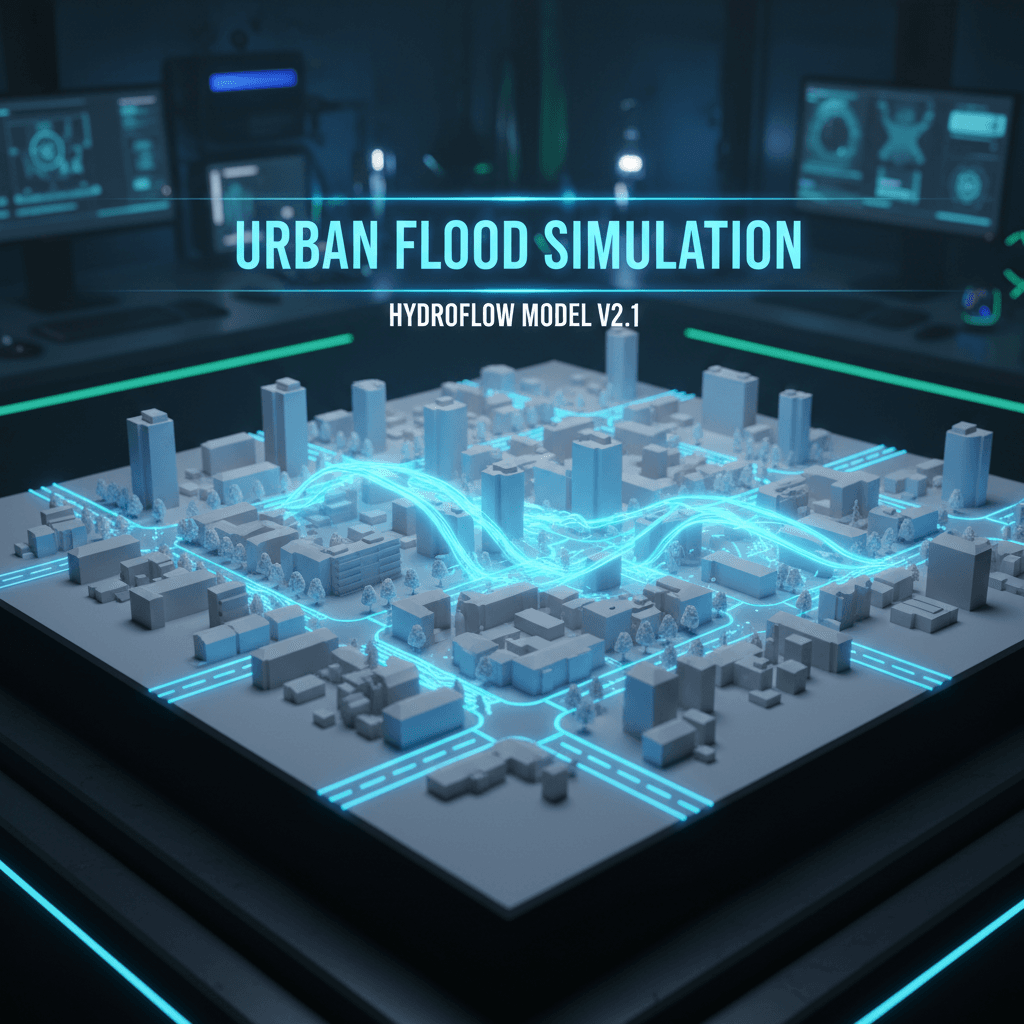
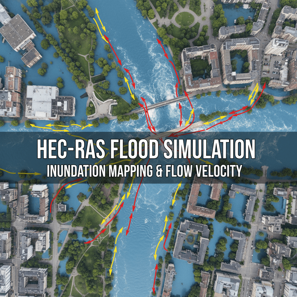
Flood Simulation Models
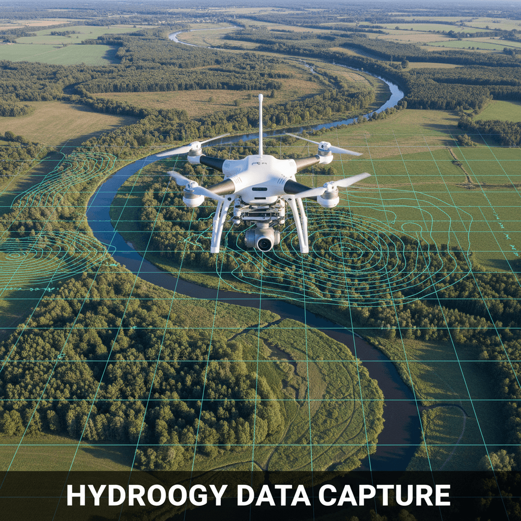
Precise dynamic simulations of water flow and flooding using high-resolution RTK aerial data.
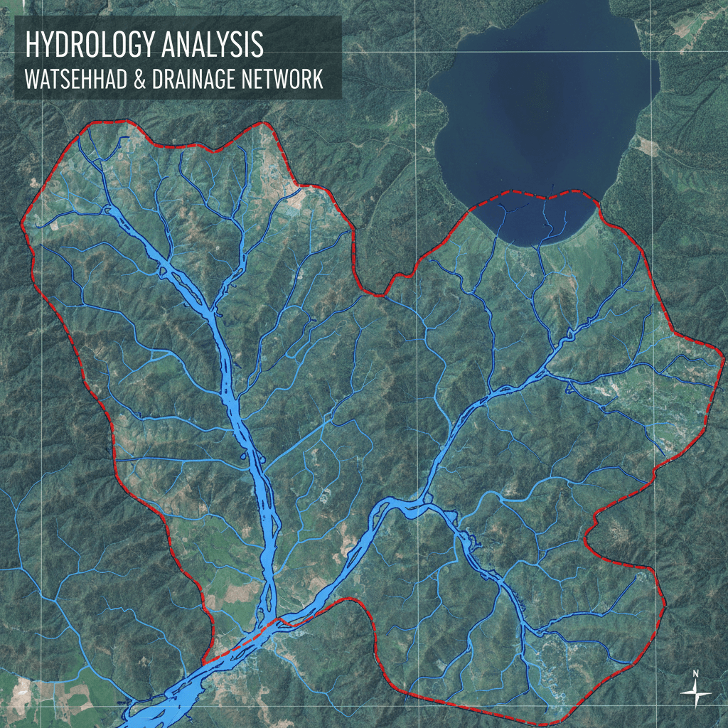
Drainage Pattern Analysis
Detailed mapping of drainage networks and flood-risk zones for urban and industrial areas.
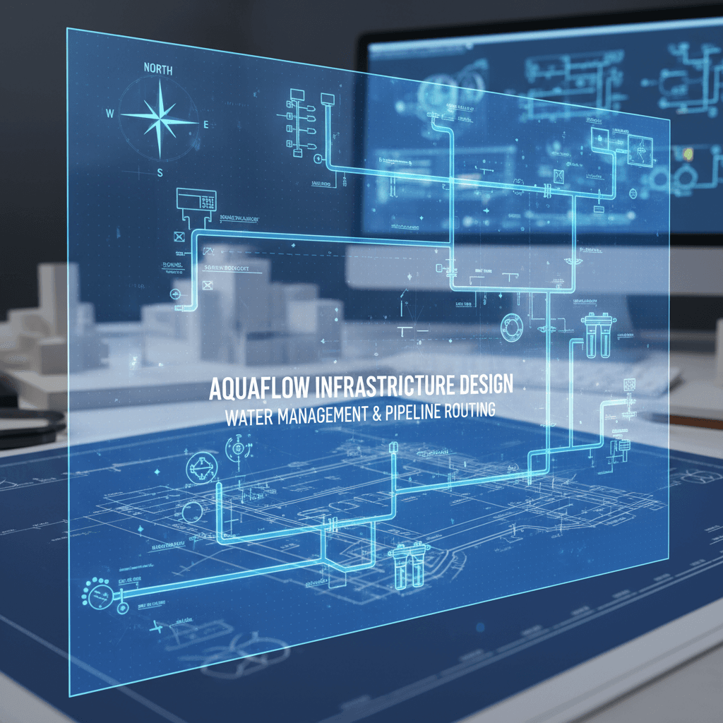
Drainage System Design
Engineering recommendations to optimize drainage channels based on accurate aerial data.
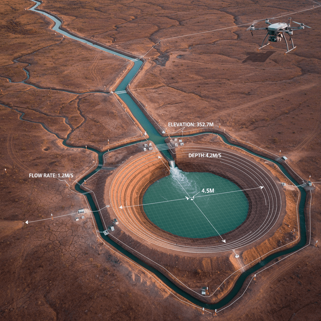
Infrastructure Impact Studies
Assessing the impact of roads, bridges, and developments on natural water flow patterns.
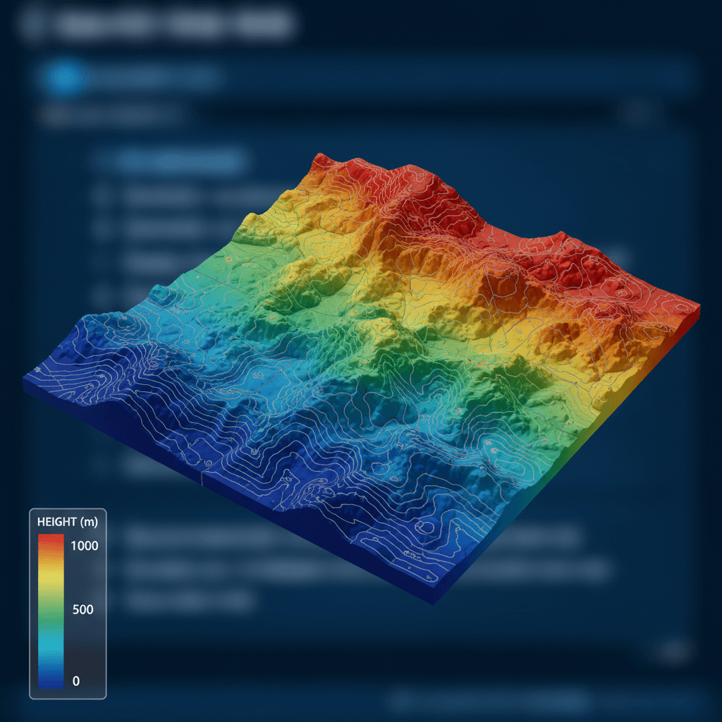
Digital Elevation Models (DEM)
DEMs with ±1–3 cm accuracy that reveal precise terrain details and water catchment areas.

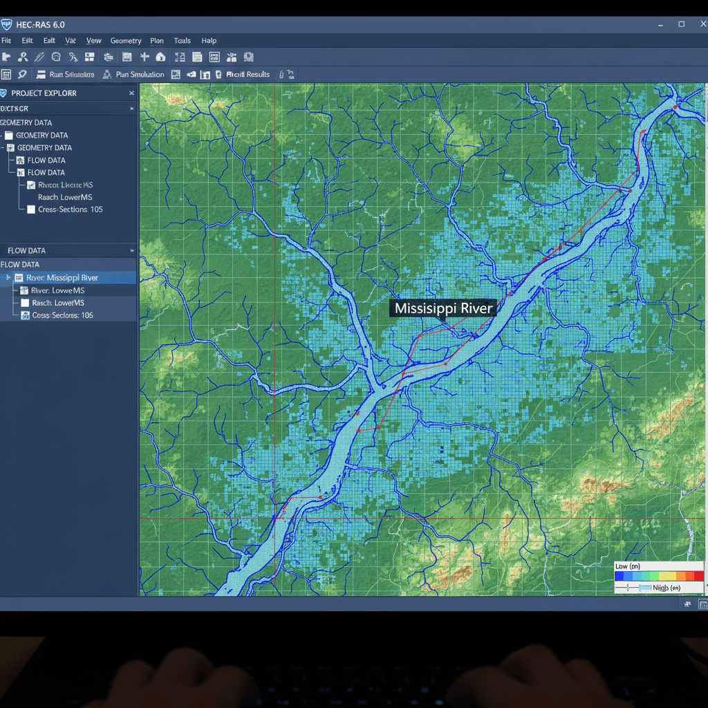
Precision Hydraulic Modeling with RTK Data and HEC-RAS 2D
We build flood runoff models from aerial surveys with ±1–3 cm accuracy, then process them in a HEC-RAS 2D environment to simulate rainfall scenarios before they occur.
Comprehensive Hydrological Applications
Explore our hydrological projects for flood analysis and infrastructure design in Riyadh and across the Kingdom.
Start Your Hydrological Consultation Today
Get a precise technical assessment for your project from a team specialized in flood simulation and water infrastructure design.