Trusted Accreditations & Operational Capabilities
Majed Aerial Solutions is dual-licensed by GACA and GEOSA, ensuring the highest standards of quality and professional compliance.
Licensed for Excellence
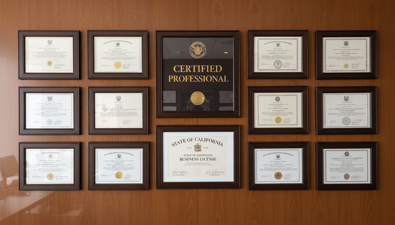
Three official licenses guarantee the highest standards of quality and reliability across all our aerial operations.
Civil Aviation License
GACA accreditation (UA-38575) authorizes us to operate an advanced drone fleet in Saudi airspace with full compliance.
Geospatial Authority Accreditation
GEOSA licensing confirms our expertise in precision aerial surveying, thermal imaging, and 3D modeling.

Media & Broadcasting License
GAMR accreditation (646781) authorizes us for professional live aerial broadcasts and event filming.
Comprehensive Operational Scope
We operate under these licenses across engineering, construction, energy, infrastructure, and government real estate projects.
Global Quality Standards
Every accreditation reflects our commitment to safety, precision, and professionalism in every project.
Commercial Registration
CR No. 7052338246 confirms our legal standing as a specialized and officially recognized entity.
Dual Licensing for Comprehensive Coverage
Holding both GACA and GEOSA licenses ensures full adherence to civil aviation and geospatial surveying standards. Our solutions are officially certified, providing the highest levels of quality and safety.
Eight Specialized Drones for Every Mission
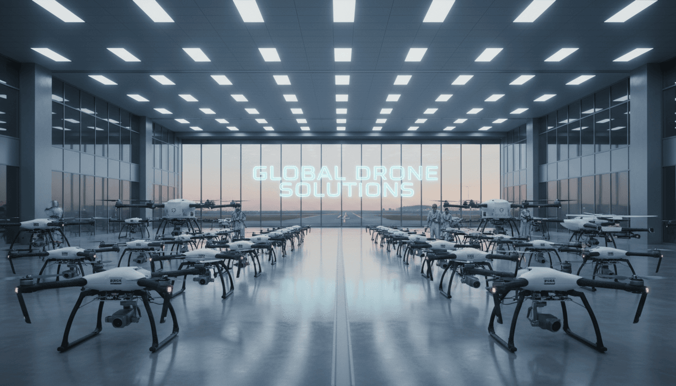
Our fleet combines cutting-edge technology with versatile capabilities to meet all your geospatial, imaging, and thermal needs.

RTK Survey Drones
±1–3 cm accuracy with ground control points for engineering and construction projects.
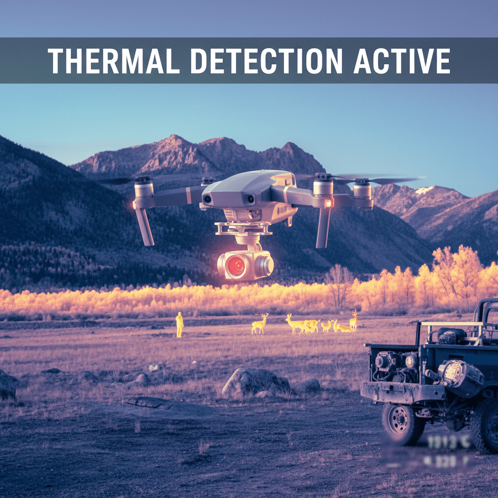
Thermal Cameras
Infrastructure inspection and radiometric thermal scanning for faults and heat loss.
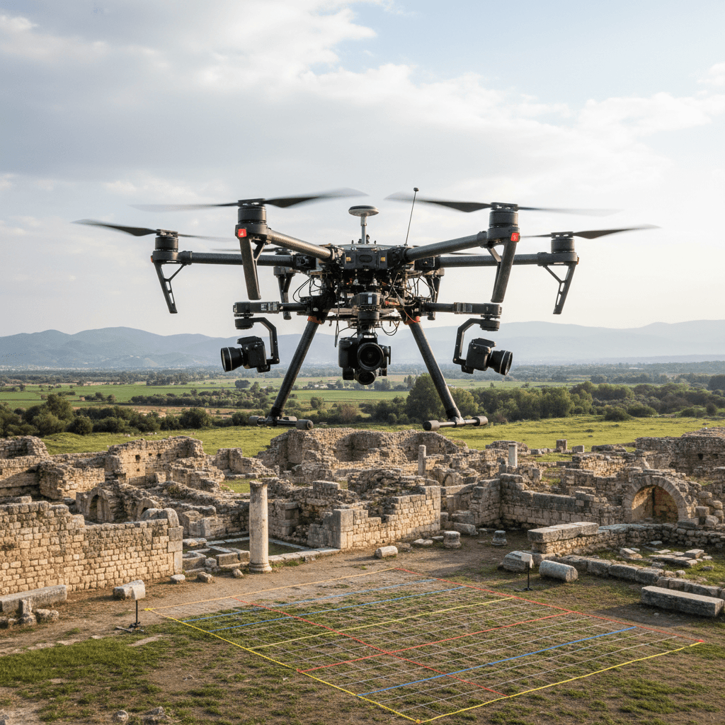
3D Modeling
High-resolution photogrammetry producing detailed 3D models of projects and sites.
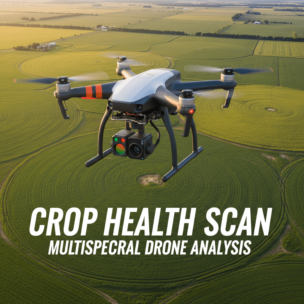
Agricultural Drones
Multispectral field sensing for crop health analysis and smart irrigation.
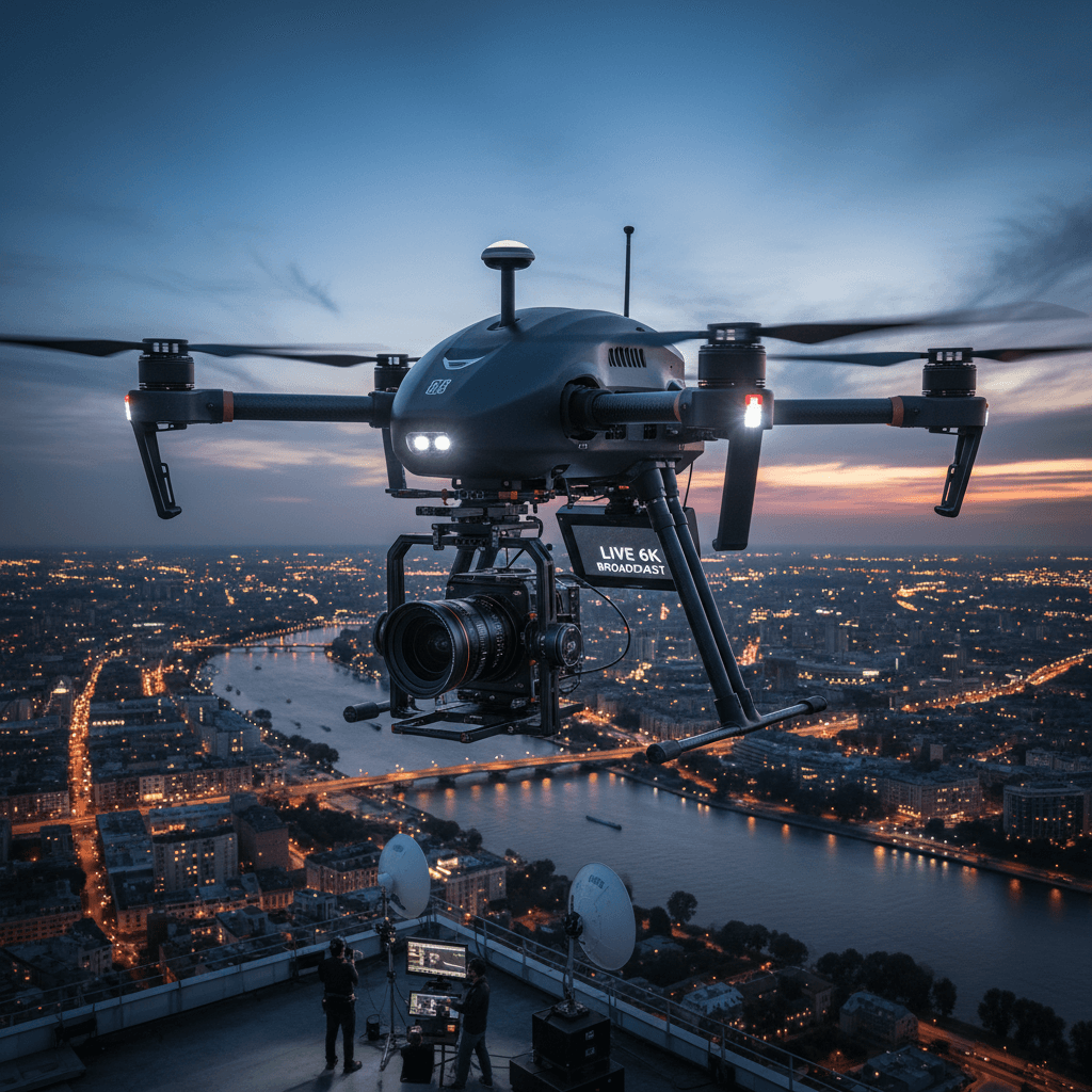
6K Cinematic Filming
High-quality live broadcasting and aerial filming for events, projects, and media production.

GIS & Hydraulic Modeling
Advanced hydrological analysis using HEC-RAS and Geographic Information Systems.
Advanced & Reliable Data Processing
We utilize a professional processing suite for aerial surveying and 3D modeling. Every project undergoes rigorous validation to ensure ±1–3 cm accuracy in final deliverables.
Ready to Launch Your Project? Contact Us Today
Contact the Majed team for specialized geospatial solutions tailored to your project requirements.