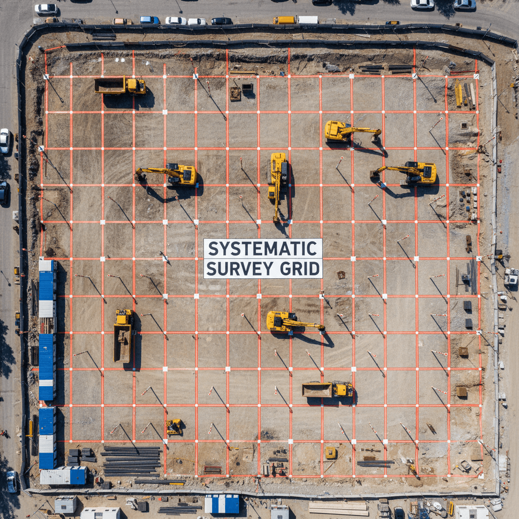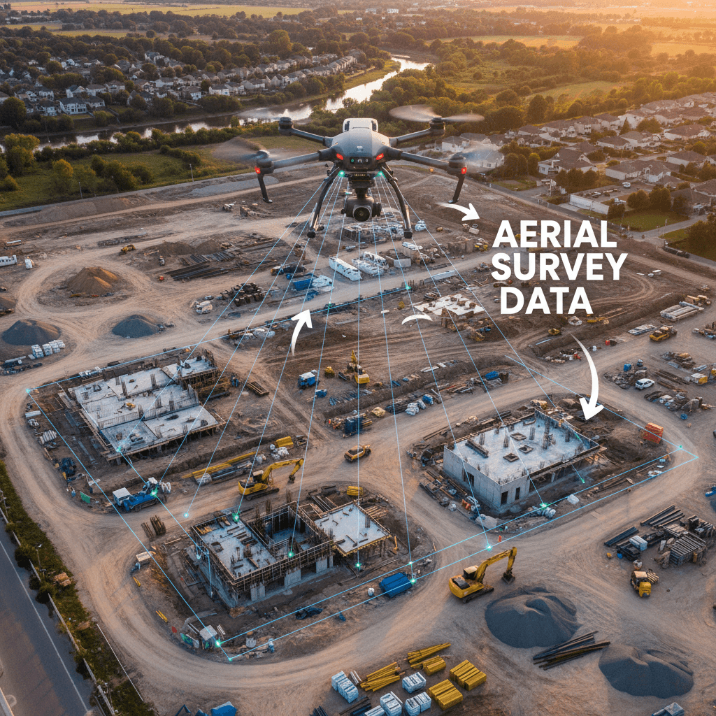
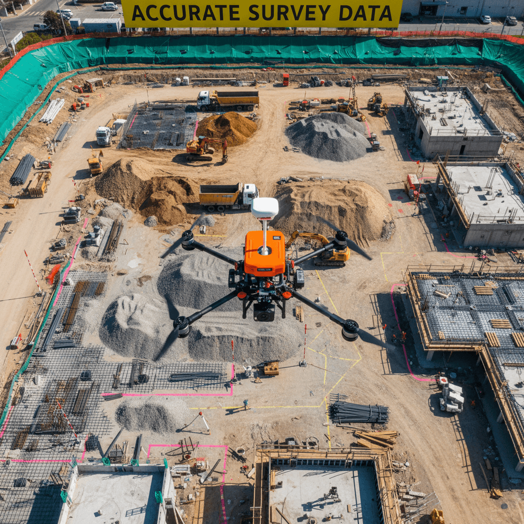
RTK drone survey accuracy Saudi Arabia typically reaches between 1 and 3 centimeters across every visible surface, providing a highly efficient alternative to traditional ground methods. While total stations offer superior point accuracy of 1 to 3 millimeters, drones excel by delivering comprehensive data sets for large-scale projects much faster. This centimeter-level precision ensures that aerial mapping meets the rigorous standards required for cut-fill designs and BIM integration across the Kingdom.
In the rapidly evolving landscape of Saudi Arabia's construction sector, traditional ground surveys often become a bottleneck for ambitious timelines. Relying solely on total stations for expansive sites like those in NEOM or Riyadh leads to significant delays and escalating overhead costs. This inefficiency is no longer sustainable under the rigorous demands of Vision 2030 projects. At Majed Aerial Solutions, we recognize that precision is non-negotiable; yet, speed is the new currency. RTK drone technology offers the perfect balance, providing centimeter-level accuracy while drastically reducing field time. This guide explores the technical realities of RTK drone survey accuracy within the Kingdom, comparing it against conventional methods. You will learn about GEOSA compliance, the cost-benefit analysis for large-scale engineering, and whether RTK or PPK methods best suit the unique challenges of our local terrain and regulatory environment.
The Evolution of Land Surveying in the Kingdom
Saudi Arabia is undergoing a historic transformation under Vision 2030. Rapid infrastructure growth across the Kingdom, from massive earthworks in NEOM to urban expansion in Riyadh, has pushed traditional surveying methods to their operational limits. For decades, the Total Station was the undisputed gold standard for Topographical Mapping. However, the sheer scale and accelerated timelines of current megaprojects demand a shift in geospatial methodology.
The debate between manual ground crews and aerial platforms often centers on RTK drone survey accuracy Saudi Arabia standards. Real-Time Kinematic (RTK) is a satellite navigation technique that provides real-time corrections to location data, delivering centimeter-level precision while the drone is in flight. While traditional surveying remains vital for specific setting-out tasks, drone technology has become the primary choice for large-scale site assessments because of its superior speed and data density.
As a Riyadh-based leader in this field, Majed Aerial Solutions operates at the intersection of these technologies. Dual-licensed by both GACA and GEOSA, we provide professional Drone Solutions Services that bridge the gap between legacy precision and modern efficiency. Our specialized مسح جوي (RTK Aerial Survey) workflows allow engineering and construction teams to visualize site progress and terrain data with a level of detail that was previously impossible within the tight delivery schedules required by the Kingdom's development pace.
Understanding RTK Drone Survey Accuracy Saudi Arabia Standards
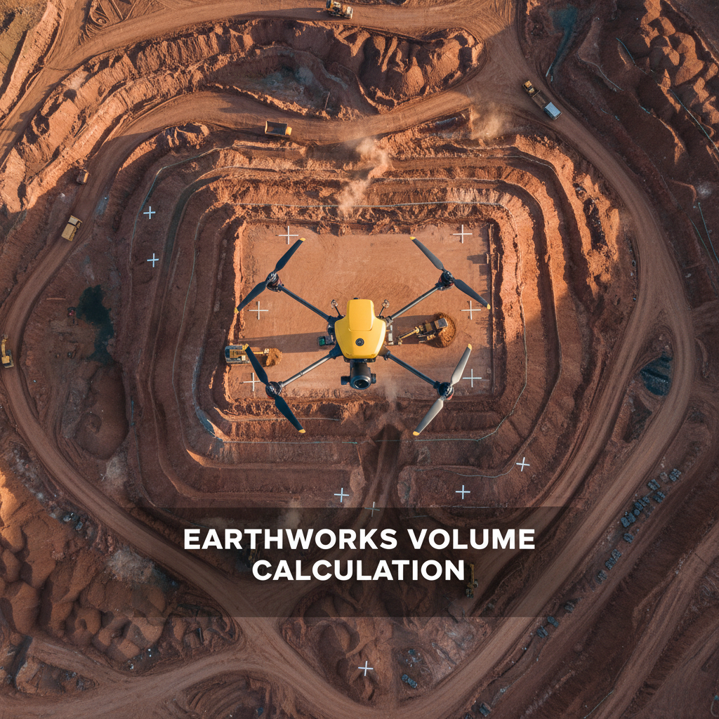
The core question for any Saudi engineering lead or project manager is: How accurate is a drone survey? To answer this, we must first look at Ground Sampling Distance (GSD). GSD represents the distance between two consecutive pixel centers measured on the ground. If a flight achieves a GSD of 1.5 cm, it means one pixel in the digital map represents 1.5 cm on the actual terrain. This metric is the foundation of the RTK drone survey accuracy Saudi Arabia expectations, as the GSD directly limits the potential accuracy of the resulting model.
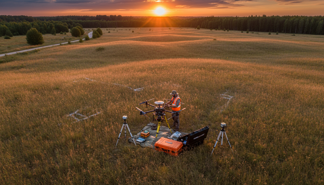
While many operators in the Kingdom quote a horizontal and vertical error margin of 2 to 5 cm, Majed Aerial Solutions targets a more stringent ±1 to 3 cm accuracy range. We achieve this by combining RTK correction with strategically placed Ground Control Points (GCPs) for independent validation. This ensures that the digital twin matches GEOSA-standard benchmarks exactly, providing the reliable data required for high-stakes engineering.
In contrast, a robotic Total Station offers a point-level precision of 1 to 3 mm. While this is mathematically superior for a single coordinate, it is limited by the number of points a ground surveyor can physically capture in a day. A drone captures millions of data points, creating a dense point cloud that mirrors every contour of the land.
Metric | Traditional Total Station | |
|---|---|---|
Relative Accuracy | ±1–3 cm (with GCPs) | 1–3 mm |
Data Density | Millions of points per hectare | Hundreds of points per day |
Coverage Type | Continuous surface model | Discrete point interpolation |
Best Use Case | Topographical Mapping & Volumetrics | Setting out & structural alignment |
For large-scale earthworks in Riyadh or infrastructure corridors, the high-density accuracy of Drone Solutions Services provides a far more representative model than the high-precision but sparse data of traditional methods. By capturing the space between a traditional surveyor's points, we eliminate the guesswork inherent in interpolating terrain between manual readings, ensuring that volume calculations and site gradients are based on a complete surface rather than a series of isolated dots.
Traditional Surveying vs Drone Mapping: The Time Factor
The transition from data density to operational productivity is most evident when evaluating project schedules. In the Riyadh Province, surveying a 100-hectare site using traditional ground-based methods typically requires a crew to move prism poles across varied terrain for several weeks. Each point must be manually occupied, and the physical limitations of the terrain can further slow the process. By contrast, a مسح جوي (RTK Aerial Survey) from our professional fleet can capture the entire area in a few hours of flight time.
For the Kingdom’s megaprojects, speed is more than a convenience; it is a critical requirement for earthworks and progress monitoring. Waiting weeks for a survey report is not an option when heavy machinery must be redeployed or volumetric changes need to be calculated for billing. Our Drone Solutions Services provide near-instantaneous site visibility. Because Majed Aerial Solutions manages the GACA and GEOSA permitting processes internally, we can deploy quickly to sites near urban centers like King Salman Park or infrastructure corridors, ensuring that data acquisition does not become a project bottleneck.
This efficiency gain extends beyond the field into the engineering office. Traditional surveys require significant post-processing to interpolate sparse points into a usable surface model. Drone mapping generates millions of points that are rapidly processed into high-resolution orthomosaics and 3D models ready for BIM and GIS workflows. This turnaround allows teams to maintain high RTK drone survey accuracy Saudi Arabia standards while keeping pace with the Kingdom’s accelerated construction timelines. By shortening the gap between data collection and actionable insight, project managers can make informed decisions based on today’s site conditions rather than data that is already weeks out of date.
Cost Analysis for Construction and Engineering Projects
Evaluating the return on investment for aerial technology requires looking beyond the initial mobilization fee. While the sophisticated sensors and RTK hardware utilized by Majed Aerial Solutions represent a substantial capital investment, the operational cost per hectare drops dramatically as site size increases. For large-scale infrastructure projects in the Riyadh Province, a drone survey reduces field hours by 80 to 90 percent compared to a traditional ground crew. This efficiency directly lowers labor expenses and project overhead, making it the most economical choice for the Kingdom’s expansive development zones.
Financial risk mitigation is another critical factor in this cost analysis. Error in volume calculations for earthworks is a primary source of budget overruns in construction. By leveraging Drone Solutions Services, project managers receive high-density surface models that capture subtle terrain changes often missed by manual points. Maintaining high RTK drone survey accuracy Saudi Arabia standards minimizes the risk of overpaying for soil removal or underestimating fill requirements. By catching these discrepancies early, teams avoid the hidden costs of manual interpolation errors and billing disputes.
Specific project scale determines the most cost-effective path. In dense, high-density urban pockets of Riyadh where a plot might be only a few hundred square meters, a traditional total station remains a competitive choice due to the lack of flight permit overhead for such localized tasks. However, for any project requiring comprehensive Topographical Mapping across several hectares, the scalability of مسح جوي (RTK Aerial Survey) is unmatched. The ROI is realized through significant schedule acceleration and the elimination of survey-related rework.
The Saudi Context: GACA and GEOSA Compliance
Technical precision is functionally obsolete if the data is not legally recognized by the Kingdom’s regulatory bodies. In Saudi Arabia, the geospatial landscape is strictly governed, requiring providers to navigate a complex dual-licensing framework. Majed Aerial Solutions operates as a fully compliant entity, holding licenses from both the General Authority of Civil Aviation (GACA) and the General Authority for Survey and Geospatial Information (GEOSA). While GACA governs the safety of the airspace and pilot certification, GEOSA oversight is what validates the data itself. Without a GEOSA license, a drone operator cannot legally provide survey-grade geospatial products; any data produced by unlicensed entities or hobbyists is inadmissible for official engineering records or government project submissions.
Maintaining professional RTK drone survey accuracy Saudi Arabia standards also involves securing specific permits for restricted zones. Projects located in sensitive urban centers, such as King Salman Park, or high-security development areas like NEOM, require rigorous coordination with the Ministry of Interior and local authorities. Our team manages this entire permitting lifecycle, ensuring that Drone Solutions Services proceed without legal interruptions or site shutdowns. Furthermore, our GAMR media authorization allows us to legally capture and broadcast high-resolution 6K imagery, a requirement often overlooked by smaller operators.
Authorization Body | Regulatory Scope | Importance for Clients |
|---|---|---|
GACA | Airspace & Flight Safety | Ensures legal flight operations and insurance coverage. |
GEOSA | Geospatial Data Integrity | Validates Topographical Mapping for official use. |
GAMR | Media & Broadcast | Allows for legal cinematic and live-streamed aerial content. |
MOI Permits | Security & Access | Enables مسح جوي (RTK Aerial Survey) in restricted or sensitive zones. |
By ensuring full compliance, we protect our clients from the liability of using unauthorized data. This regulatory rigor ensures that every centimeter of captured terrain is not only accurate but also fully certified for use in the Kingdom’s most critical infrastructure projects.
RTK vs PPK: Which Method Wins for Saudi Terrain?
The question of whether PPK (Post-Processing Kinematic) or RTK is more accurate often arises when planning missions across the Kingdom’s diverse geography. Technically, both methods provide centimeter-level precision; however, their reliability fluctuates based on the operational environment. RTK relies on a constant radio or cellular link between the drone and a base station or NTRIP network to correct satellite data in real time. In the sprawling, remote desert regions of the Riyadh Province or the Rub' al Khali, maintaining this live link can be challenging due to signal obstructions or a lack of cellular infrastructure.
PPK offers a robust alternative by recording raw satellite logs on the aircraft for processing after the flight, which eliminates the risk of data loss from signal drops during the mission. At Majed Aerial Solutions, we prioritize مسح جوي (RTK Aerial Survey) for its immediate data validation capabilities, but we never rely solely on the live telemetry. To maintain the highest RTK drone survey accuracy Saudi Arabia standards, we integrate physical Ground Control Points (GCPs) into every workflow. This hybrid methodology ensures that even if a signal flickers in the harsh Saudi heat or complex topography, the final Drone Solutions Services output remains anchored to absolute geographic reality. This redundancy is essential for engineering projects where even a small shift can significantly impact earthwork volume calculations across massive sites.
The Hybrid Approach: When to Combine Drones and Total Stations

Advanced engineering projects in the Kingdom do not treat technology as a binary choice. Achieving the highest RTK drone survey accuracy Saudi Arabia standards often requires an integrated workflow where aerial and terrestrial sensors complement one another. At Majed Aerial Solutions, we advocate for a hybrid approach to ensure maximum project integrity, particularly on complex sites involving both massive earthworks and intricate structural requirements.
While مسح جوي (RTK Aerial Survey) is the undisputed leader for Topographical Mapping and volumetric calculations, the Total Station remains indispensable for specific high-precision tasks. Robotic Total Stations are utilized for setting out foundation pins or working in areas where overhead obstructions, such as bridge underpasses or narrow alleys in Riyadh’s older districts, prevent a clear line of sight to the sky.
Task Requirement | Primary Tool | Secondary Validation |
|---|---|---|
Site-wide Digital Twin | RTK Drone | Ground Control Points |
Foundation Setting Out | Total Station | Digital Model |
Volumetric Reporting | GNSS Rovers | |
Sub-bridge Topography | Total Station | Drone Photogrammetry |
By combining these methods, engineers receive the broad-scale efficiency of aerial data without sacrificing the millimetric precision needed for structural alignment. This methodology transforms the drone from a standalone tool into a critical component of a comprehensive geospatial strategy, ensuring that every phase of the project is supported by the most appropriate sensor for the environment.
Modern construction and development in Saudi Arabia demand high levels of precision that only RTK technology can provide. While traditional surveying remains valuable, the efficiency and accuracy of drone systems offer a significant competitive advantage for large scale projects. Navigating these technical requirements can be challenging without the right expertise. If you want professional support to ensure your project data is perfect, our team is ready to assist. You can explore our comprehensive مسح جوي (RTK Aerial Survey) services to see how we help businesses achieve reliable results with ease.