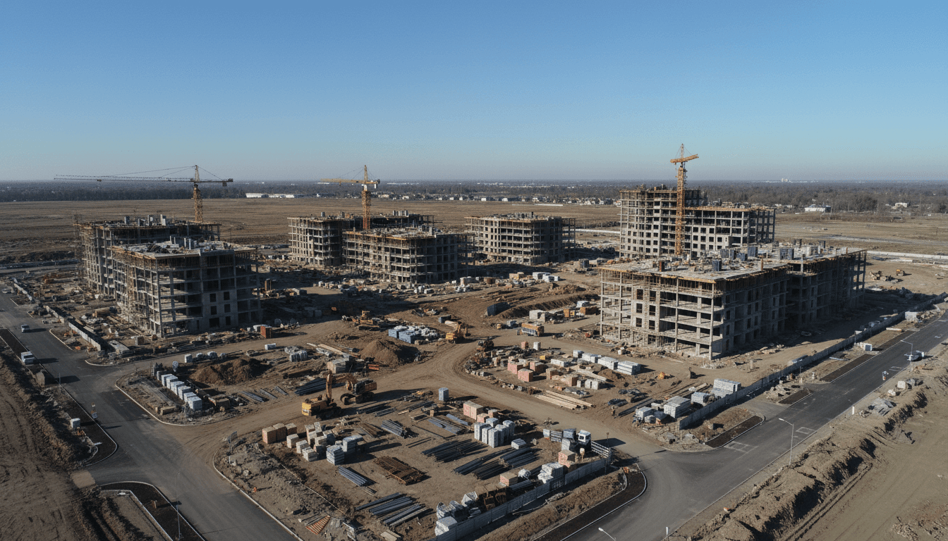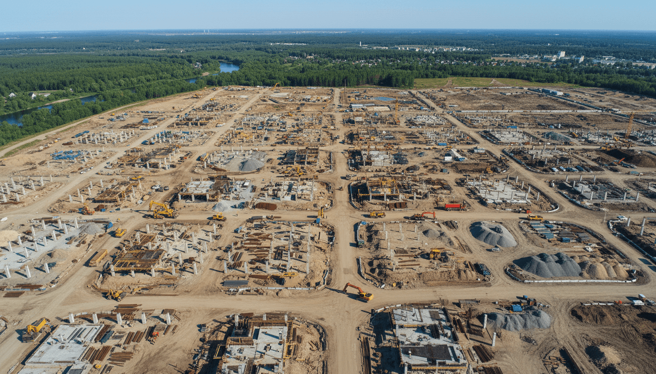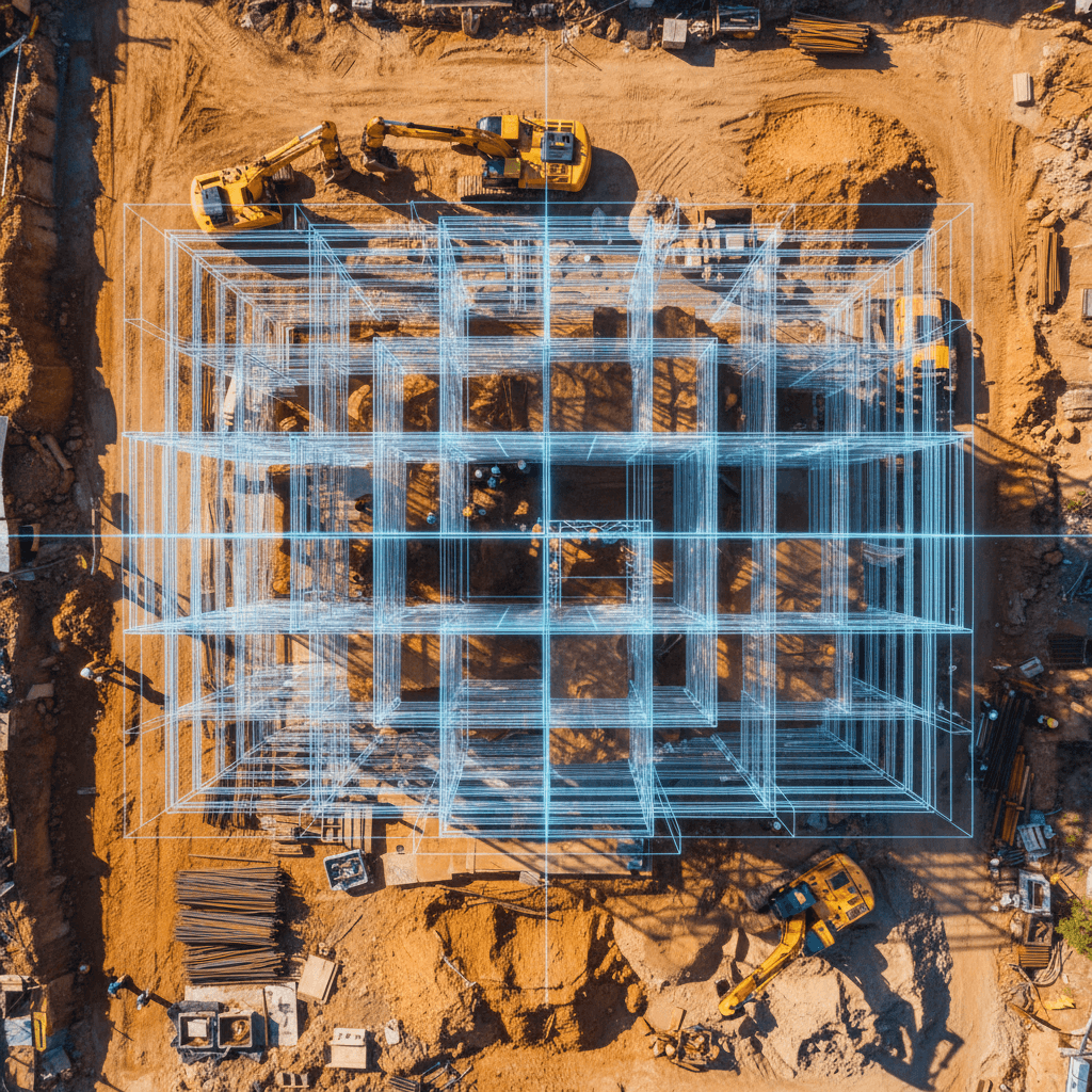
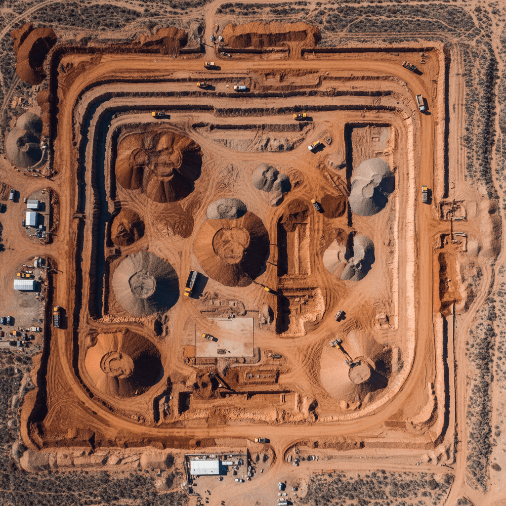
A drone earthworks quantity survey Riyadh cut and fill process protects construction budgets by providing high precision aerial data to calculate excavation volumes accurately. This technology eliminates the manual errors associated with traditional land surveying; it ensures project managers can monitor site progress and manage resources with total financial transparency.
https://www.google.com/preferences/source?q=majedsolutions.co
In the fast paced construction landscape of Riyadh, even a minor miscalculation in cut and fill volumes can lead to millions of riyals in unforeseen costs. Project managers often struggle with the limitations of manual surveying; these traditional methods frequently result in delayed reporting and significant discrepancies between design intent and site reality. As Riyadh expands its infrastructure to meet Vision 2030 goals, the margin for error has vanished. Developers now require absolute precision to protect their bottom lines. This guide explores how advanced drone quantity surveying transforms earthworks by utilizing RTK technology and rigorous validation to eliminate guesswork. You will learn how we streamline the reporting process, maintain strict compliance with GACA and GEOSA regulations, and ultimately ensure your construction budget remains secure from the first excavation to the final grade.
Why Precision Cut and Fill Matters for Riyadh Infrastructure Projects
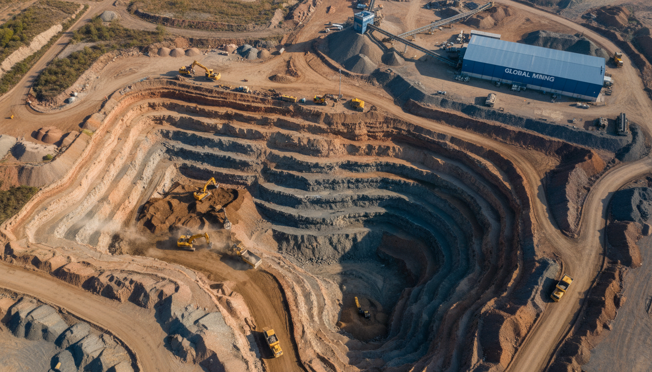
Riyadh is currently witnessing a transformation unlike any other global capital. Under the mandate of Saudi Vision 2030, the city is evolving through massive infrastructure projects such as the Diriyah Gate development, the expansion of North Riyadh, and the ambitious New Murabba district. These projects are not merely architectural feats; they are massive earthmoving operations that require the displacement and grading of millions of cubic meters of soil and rock. At this scale, precision is the primary safeguard against financial loss.
In high-stakes Riyadh construction, the financial implications of measurement errors are compounded by the sheer volume of material. A discrepancy of even 5% in a drone earthworks quantity survey Riyadh cut and fill report can lead to budget overruns totaling millions of Riyals in unforeseen haulage and excavation costs. Accuracy in these calculations is what separates a profitable project from one mired in disputes and delays.
Majed Aerial Solutions provides a level of certainty that standard surveying often lacks. As a Riyadh-based operation (Commercial Registration 7052338246), we are dual-licensed by the General Authority of Civil Aviation (GACA) and the General Authority for Corporate Geospatial Information (GEOSA). This is a critical distinction for Saudi developers. Our GEOSA licensing ensures that every topographical mapping data set we produce meets the Kingdom’s rigorous national standards for engineering. In the event of a contract dispute regarding moved volumes, our data serves as a legally admissible record, providing project managers with the empirical evidence needed to resolve claims fairly and efficiently.
The Science of Drone Earthworks Quantity Surveying in Riyadh
The transition from manual rod-and-level surveying to digital methods marks a significant leap in data density for Saudi construction projects. Traditional surveyors walk a site to record discrete elevation points, often spaced at 10 meter or 20 meter intervals. This cross section method relies heavily on interpolation, essentially guessing what happens to the terrain between those measured points. In a professional drone earthworks quantity survey Riyadh cut and fill operation, we replace these approximations with absolute measurements captured across the entire site surface.
At its core, cut and fill refers to the engineering process of leveling a site by excavating earth from high points, known as the cut, and moving it to lower areas, known as the fill. To calculate these volumes accurately, our fleet of RTK (Real-Time Kinematic) drones captures thousands of high resolution images that are processed through photogrammetry. RTK technology is vital here; it provides centimeter level positioning in real time by communicating with a base station, ensuring each image is geotagged with survey grade coordinates.
These data points are used to generate a highly detailed Digital Elevation Model (DEM), a 3D representation of the bare ground surface. While a manual survey might offer a few hundred data points for a large development, topographical mapping via drone provides millions of points. This granularity is essential for Riyadh’s varied terrain, where hidden rocky outcrops or subtle wadi depressions can drastically alter volume calculations. This drone quantity surveying approach ensures that every cubic meter of the landscape is accounted for, providing a level of geological insight that traditional methods cannot replicate.
The Technical Advantage: RTK Drones and GCP Validation
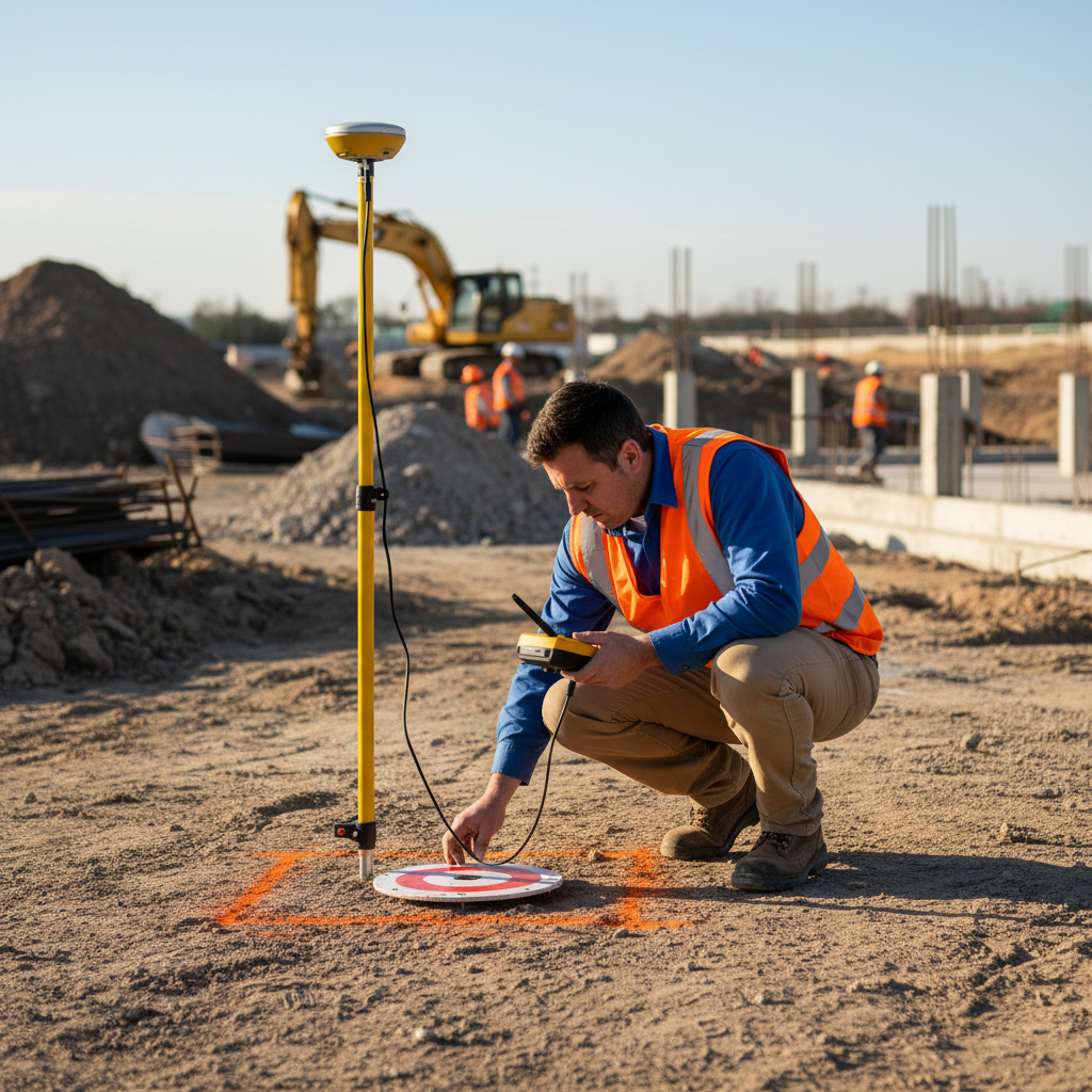
Achieving the ±1 to 3 cm accuracy required for high stakes engineering depends on the synergy between Real Time Kinematic (RTK) hardware and rigorous Ground Control Point (GCP) validation. While the RTK drones in our eight drone fleet receive live corrections to their satellite positioning, the unique Riyadh landscape demands additional safeguards. In the expansive desert environments of North Riyadh or the development corridors toward Al-Kharj, shifting sands and a lack of distinct vertical landmarks can lead to processing errors in standard GPS data.
To counter this, Majed Aerial Solutions implements physical GCPs across every project site. These points act as absolute spatial anchors, surveyed with precision GNSS rovers to provide a ground truth that validates the drone’s telemetry. This dual layer approach eliminates the Z-axis drift that often plagues lower tier drone operations.
Furthermore, our GEOSA license serves as a guarantee that all topographical mapping data complies with the Saudi National Geospatial Reference System. This alignment with KSA national standards is not optional for projects under Vision 2030; it is a requirement for data to be integrated into official cadastral records or utilized by civil engineering firms. By conducting a drone earthworks quantity survey Riyadh cut and fill with these technical rigors, we ensure the resulting datasets are legally and technically robust for any Saudi infrastructure project.
Eliminating Discrepancies: How Drones Protect Your Construction Budget
Building upon the technical precision of RTK and GCP validation, these datasets function as a robust financial safeguard. A professional drone earthworks quantity survey Riyadh cut and fill acts as an independent auditor, providing an objective, third-party verification of work completed. In the context of large scale Riyadh developments, where earthmoving costs can represent a massive portion of the total budget, this oversight is critical for three primary reasons.
First, it prevents over-billing for soil and rock removal. Contractors often estimate volumes based on truck counts, a method prone to significant error due to varying soil expansion factors and inconsistent loading. By using topographical mapping to measure the actual change in the landscape, developers ensure payments are issued only for the exact cubic meters displaced. This is particularly vital in Riyadh, where the cost of excavating hard limestone in central areas differs vastly from moving soft sand in the northern outskirts.
Second, drone data allows for the optimization of haulage routes. By visualizing the site through high-resolution 3D models, project managers can identify the shortest, most efficient paths between cut and fill zones. This minimizes the distance heavy machinery travels, directly reducing fuel consumption and wear on expensive equipment.
Third, the process creates a permanent digital audit trail. Every drone quantity surveying flight provides a time-stamped, georeferenced snapshot of the site’s progress. Should a dispute arise between a developer and a contractor regarding work completed or site conditions, this data provides empirical evidence that is far more reliable than manual logs. This transparency facilitates faster conflict resolution and keeps projects moving toward their Vision 2030 milestones without costly legal delays or administrative friction.
From Raw Data to Actionable Reports: What Riyadh Project Managers Receive

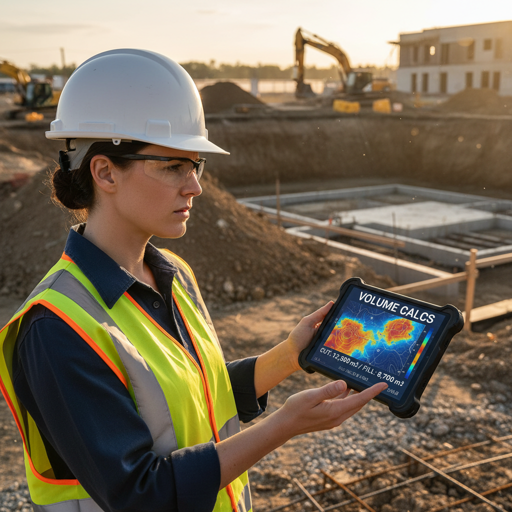
The transition from field data collection to executive decision making occurs within the analytical reports generated by our geospatial team. A drone earthworks quantity survey Riyadh cut and fill provides more than visual oversight; it delivers a suite of engineering grade assets designed for immediate technical application. Project managers receive detailed volumetric calculation reports that break down the site into precise cut, fill, and net balance figures, allowing for exact resource allocation and haulage planning.
Crucially, we provide specialized cut and fill heat maps. These color coded orthomosaics visualize the vertical distance between the current terrain and the final design grade, showing exactly where soil must be redistributed. For site engineers, our deliverables include 3D photogrammetric models and high density point clouds. These files are formatted for seamless integration into AutoCAD, Civil 3D, and BIM software environments used by leading Saudi consulting and engineering firms.
By delivering data in industry standard formats such as .DXF, .DWG, and .TIF, Majed Aerial Solutions ensures that drone quantity surveying results are ready for immediate use in grading plans and hydrology analysis. This technical output eliminates the need for manual data entry, reducing human error and ensuring that the topographical mapping data remains a living, accurate document throughout the construction lifecycle.
Traditional Surveying vs Drone Surveying for Earthworks
Traditional methods for an earthworks quantity survey require a field crew to physically traverse the terrain, a process that is both labor intensive and time consuming. For a typical 50 hectare development in the Riyadh expansion zones, a manual survey might take five to seven working days to complete. In contrast, our drone quantity surveying workflows capture the same area in less than three hours. This disparity in speed allows developers to receive volume updates in near real time, rather than waiting for outdated reports.
Safety remains the most significant differentiator. Manual surveyors must navigate uneven rocky terrain and work in close proximity to active excavators and heavy machinery, which introduces substantial site risk. By conducting a drone earthworks quantity survey Riyadh cut and fill from the air, Majed Aerial Solutions keeps personnel entirely away from dangerous excavation zones.
Furthermore, drone operations facilitate business as usual on site. Unlike traditional methods that often require earthmoving activities to pause to provide surveyors with clear lines of sight or safe passage, aerial topographical mapping is non intrusive. Work continues uninterrupted, preventing the costly downtime and logistical friction associated with ground based measurement.
Feature | Traditional Ground Survey | Majed Aerial Drone Survey |
|---|---|---|
Time (50 Hectare Site) | 5 to 7 Days | 2 to 4 Hours |
Data Density | Hundreds of points | Millions of points |
Site Safety Risk | High (Personnel near machinery) | Minimal (Remote operation) |
Project Disruption | Frequent pauses required | Zero disruption to operations |
Navigating Saudi Regulations: GACA and GEOSA Compliance
Executing a drone earthworks quantity survey Riyadh cut and fill involves strict adherence to the Kingdom’s regulatory framework. Legal compliance starts with the General Authority of Civil Aviation (GACA) for flight operations, but for professional drone quantity surveying, a GEOSA license is mandatory to ensure geospatial data integrity. Majed Aerial Solutions operates under Commercial Registration 7052338246, maintaining dual licensing that protects project owners from legal liability and potential work stoppages.
We also secure GAMR media authorization for site photography to ensure compliance with national security protocols. By utilizing a fully compliant partner for topographical mapping, developers safeguard their site permits and ensure that earthworks quantity survey results meet the rigorous standards required for Saudi infrastructure projects. This regulatory alignment ensures that all geospatial outputs are legally admissible and technically sound for Vision 2030 developments.
Accurate volume calculations are the foundation of any successful construction budget in Riyadh. By utilizing drone technology for cut and fill surveys, you ensure that every cubic meter of earth is accounted for, preventing costly overruns and delays. If you want expert help to streamline this process, our team at Majed Aerial Solutions is ready to assist. A high-quality Topographical Mapping survey provides the precise data needed to make informed decisions for your site; this ensures your project remains both efficient and profitable from start to finish.