
Topographic Surveys Driven by Strategy, Not Just Equipment
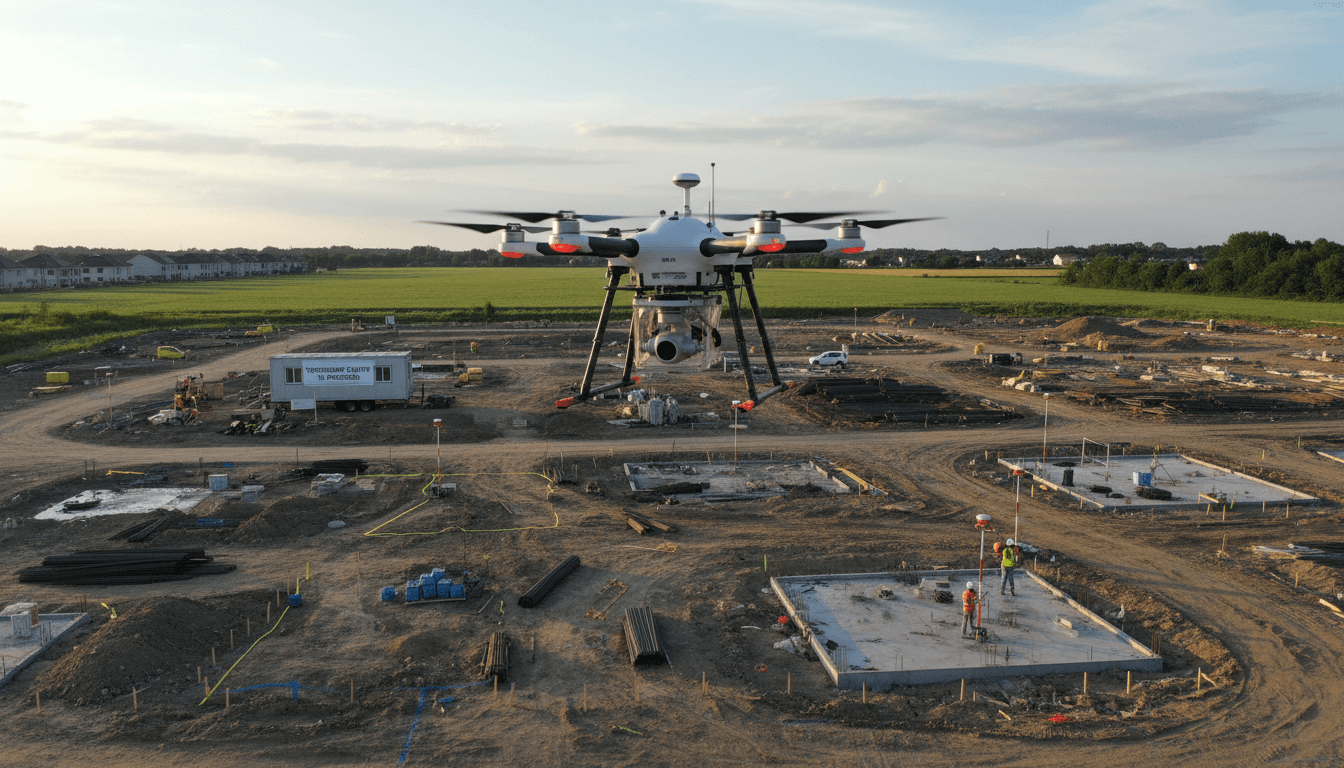
Before takeoff, we define your project goals. We then execute surveys with ±1–3 cm accuracy to provide maps that drive decisions, not just raw data.
Is Traditional Surveying Still Your Best Option?
Traditional ground surveys are often slow, costly, and limited in scope. Aerial drone surveying provides higher accuracy and broader coverage at a lower cost and in less time.
Centimeter Accuracy
Achieving ±1–3 cm accuracy with Ground Control Point (GCP) verification to meet rigorous engineering standards.
Rapid, Comprehensive Coverage
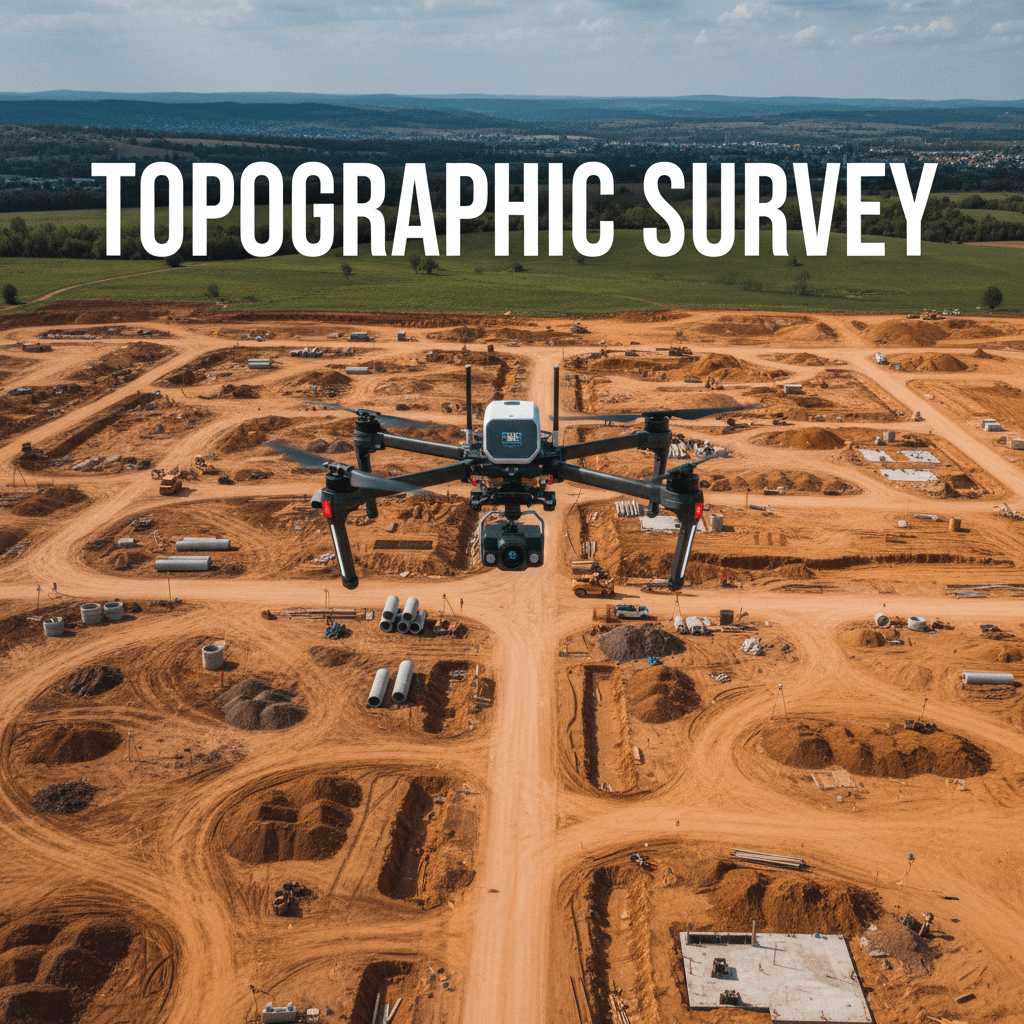
Aerial surveying covers vast areas in a single session, accomplishing in one day what takes a week with traditional methods.
Zero Site Disruption
No need to close roads or halt work. Aerial surveys are completed without impacting site activity or team safety.
Safe and Risk-Free
We deploy drones instead of personnel into hazardous or rugged terrain, protecting your team and reducing liability.
Immediate Digital Data
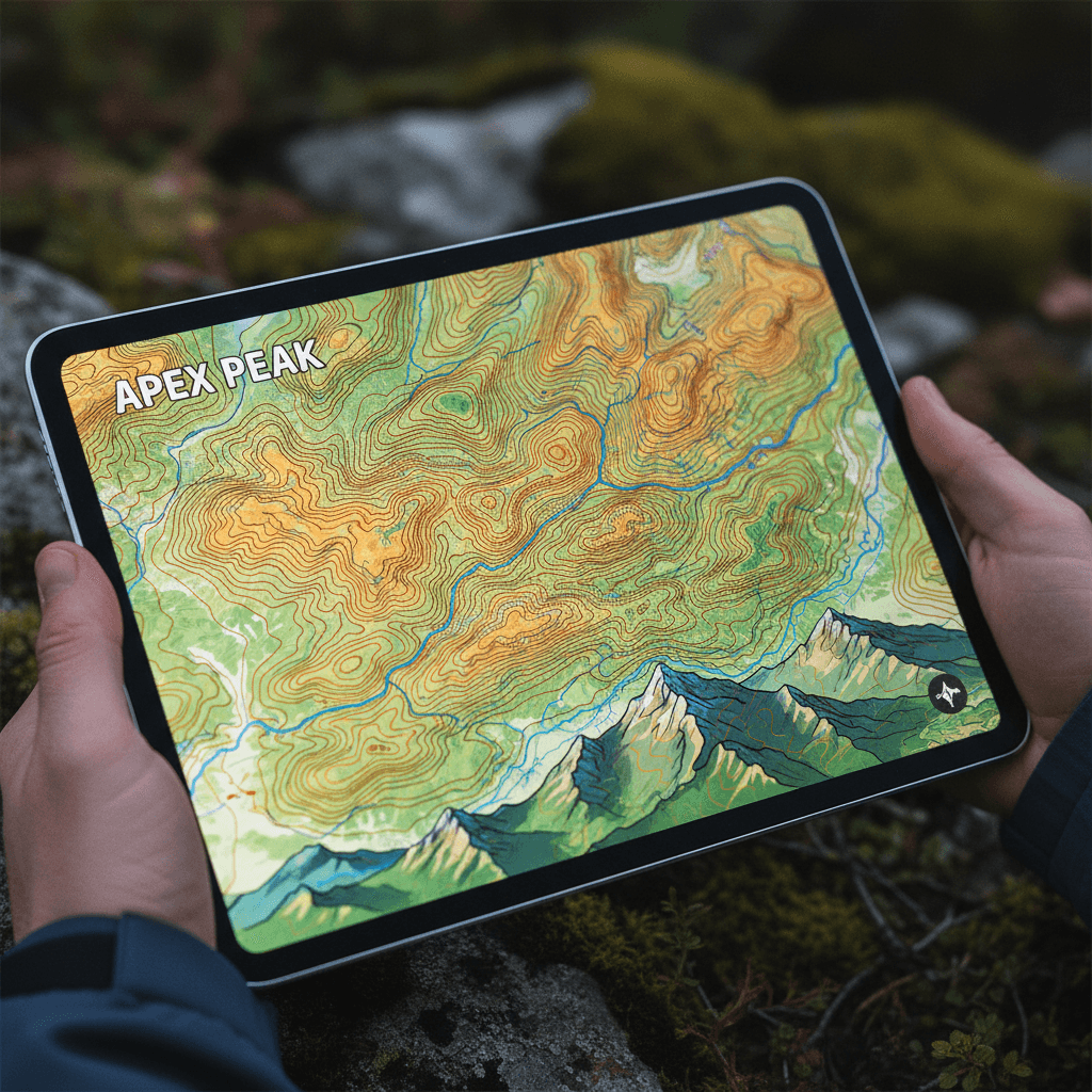
Deliverables are ready for direct use in AutoCAD, Revit, and GIS, eliminating the need to digitize paper drawings.
Mapping at 2 cm Resolution
We transform RTK data into contour maps and digital models ready for design and calculations, featuring all the precision layers your project demands.
Precise Contour Maps
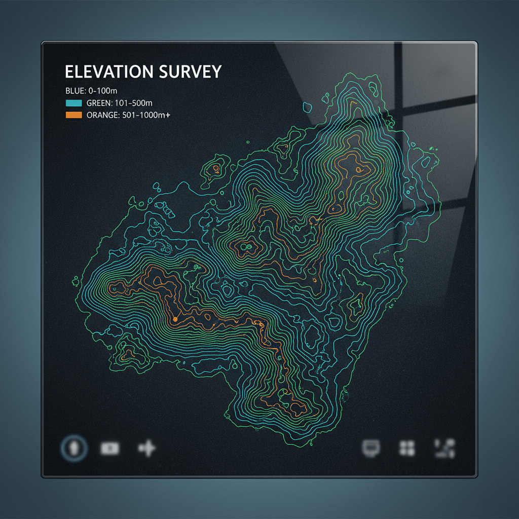
Contour lines with intervals tailored to the terrain, ready for high-accuracy volume and elevation calculations.
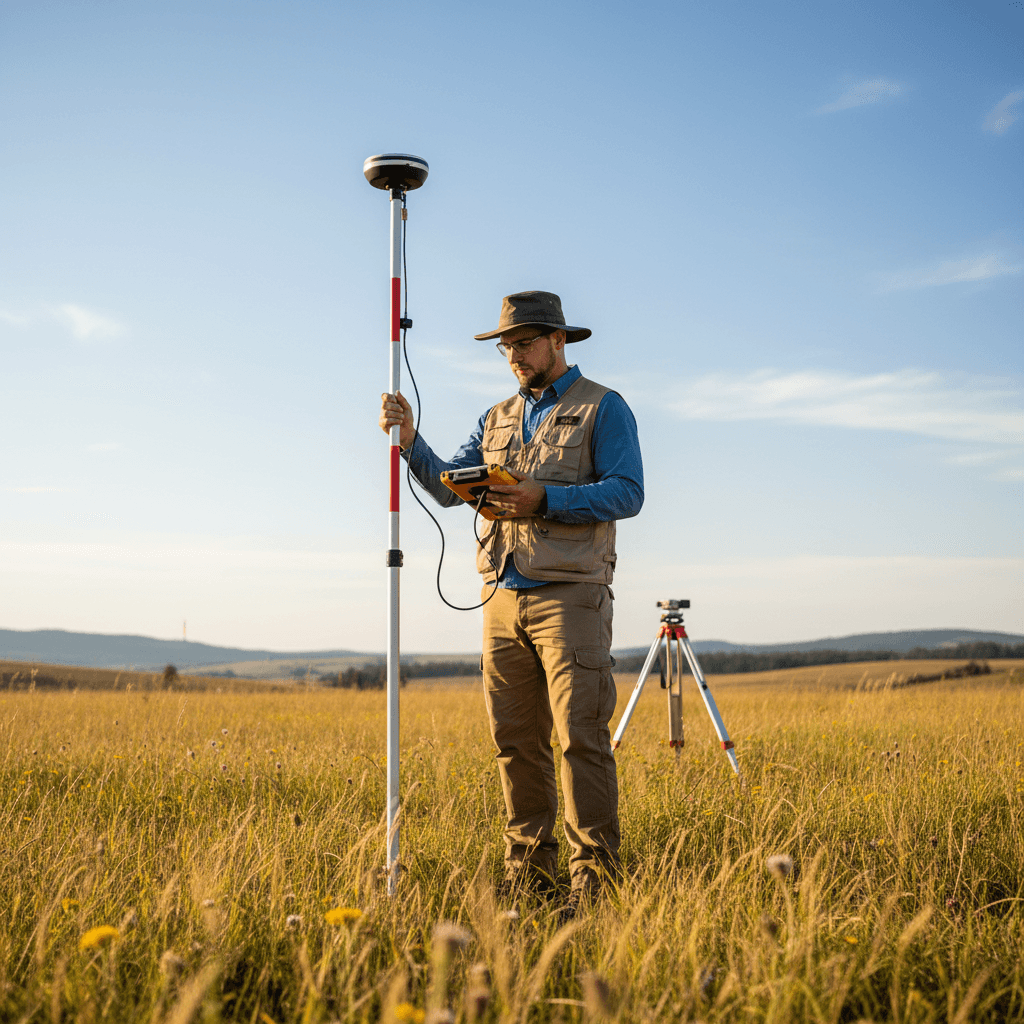
RTK Elevations and Levels
Documented ground elevation points with coordinates, backed by direct measurement logs from RTK equipment.
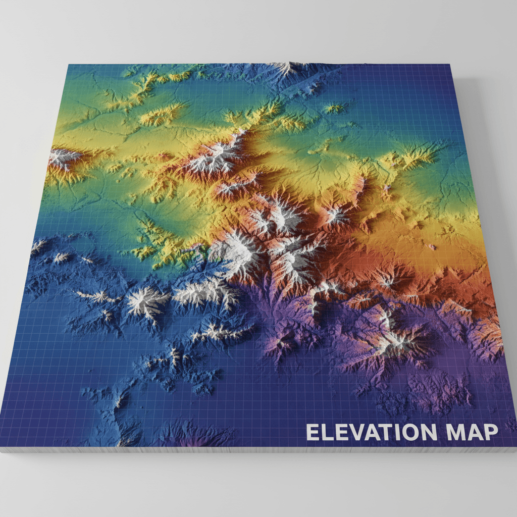
Digital Terrain Models (DTM)
Digital Elevation Models (DEM) with resolutions as fine as 2 cm per pixel for detailed terrain analysis.
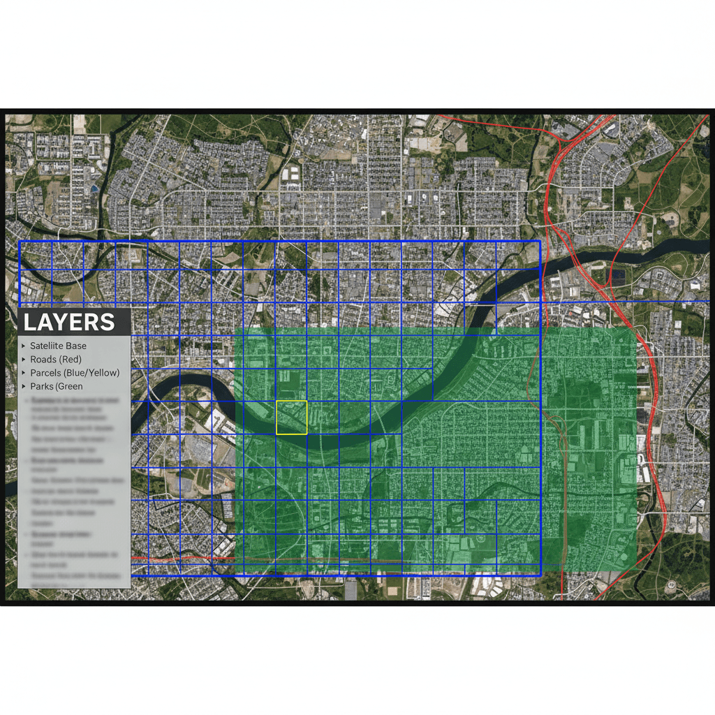
Ready-to-Use GIS Layers
Geodatabases and Shapefiles compatible directly with ArcGIS, QGIS, and AutoCAD.
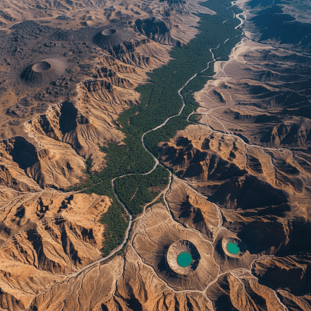
Interpreted Aerial Imagery
High-resolution imagery with precise georeferencing, serving as a visual baseline for maps and plans.

Full Analytical Reports
Comprehensive reports documenting procedures, measurement accuracy, and control points to facilitate official approval.
Official Licensing and Precise Deliverables
Our GACA and GEOSA licenses ensure that your survey deliverables are certified and ready for immediate engineering use.
2
Operating Licenses
Officially licensed by GACA and GEOSA for drone operations and aerial surveying.
8
Specialized Fleet
Professional platforms deployed across all regions of Saudi Arabia.
±3cm
Survey Accuracy
RTK accuracy verified with Ground Control Points (GCPs) on every project.
6
Service Lines
From thermal inspection to 3D modeling and hydrological analysis.
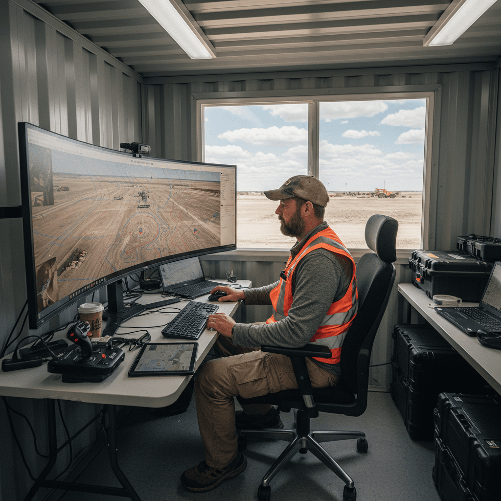
Planning and Permitting
We establish Ground Control Points (GCPs), define flight paths, and secure all necessary Saudi flight permits before takeoff.

RTK Survey Execution
Our drones collect data with ±1–3 cm accuracy, verified by on-site GCPs even in shifting sands or complex environments.

Processing and Analysis
We convert aerial imagery into point clouds and digital elevation models under the supervision of a survey engineer.
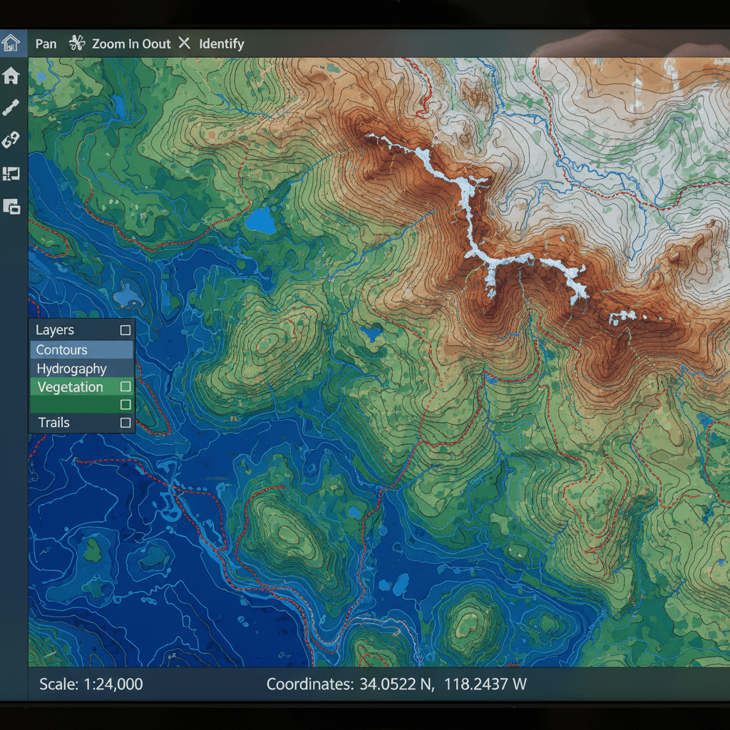
Final File Delivery
Receive AutoCAD, GIS, and contour maps ready for approval, fully documented with GACA and GEOSA references.
Precise and Reliable Drone Topographic Surveys
Frequently asked questions about our drone-based topographic surveying services.
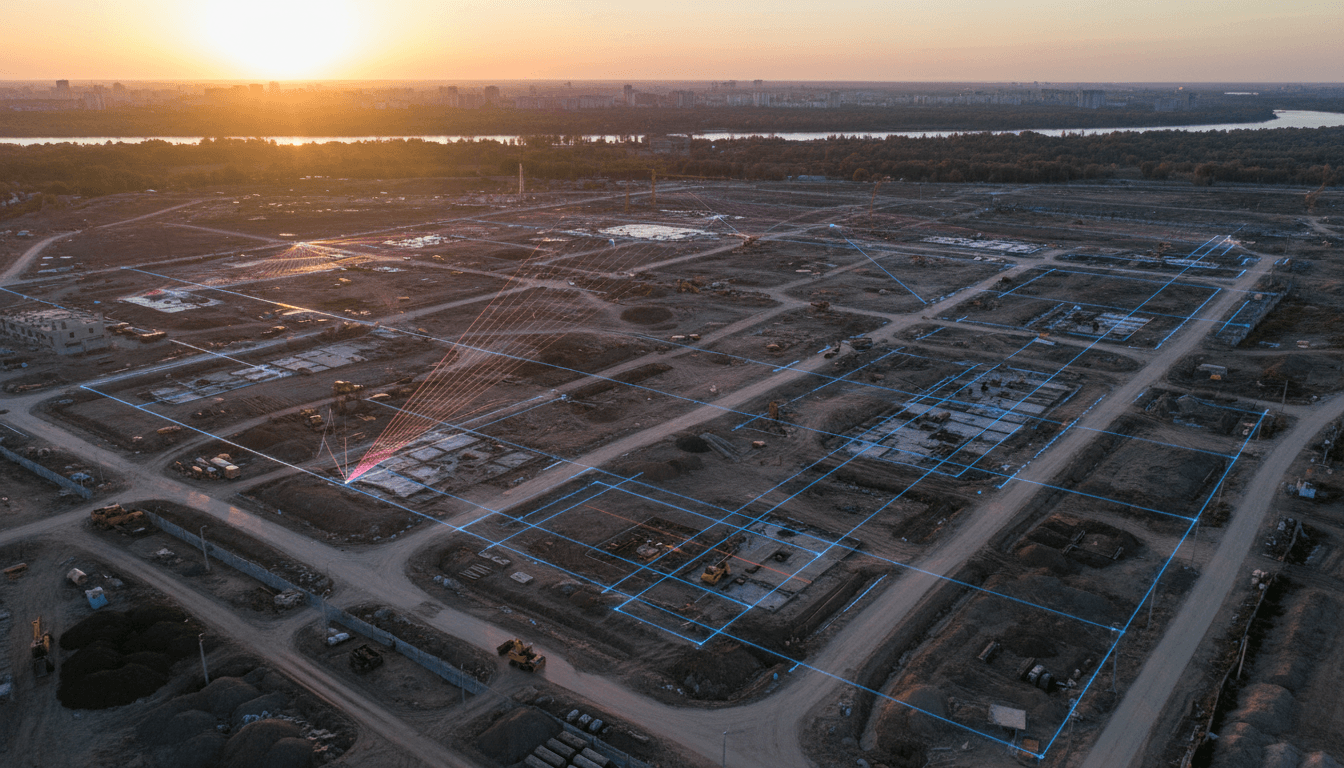
We measure success by engineering approval, not just flight hours.
Submit your project files for a detailed technical assessment of your site within one business day. Initial evaluations are complimentary, ensuring full transparency before any commitment.