
High-Precision RTK Aerial Surveying
From site land surveying to construction monitoring, we provide centimeter-accurate measurements across Riyadh and all regions of Saudi Arabia.
Site Land Surveying
Precise contour maps and ground control points (GCP) for pre-construction planning.

Construction Progress Monitoring
Regular comparisons between design plans and as-built reality to detect errors early.
Cut and Fill Volume Calculations
Accurate material volumes to streamline contract management and minimize waste.
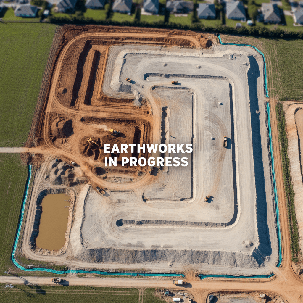
Infrastructure Documentation
Detailed digital records of roads, bridges, and utilities for simplified maintenance.
Energy & Industrial Planning
Detailed spatial data for solar sites and pipeline routes prior to execution.
Real Estate Development Support
Understand actual site topography to evaluate project feasibility with precision.

Engineering-Ready Precision Data
We deliver files ready for engineers and contractors: point clouds, 3D models, contour maps, and volume reports. All RTK data is GACA and GEOSA compliant.
Precision is just the beginning
Everything you need to know about aerial surveying before starting your project.

Mission Planning
We define Ground Control Points (GCP) and map the flight path to ensure complete project coverage before takeoff.

Ground Control Points (GCP)
We install and measure GCPs using GNSS to guarantee ±1-3 cm accuracy in every model.
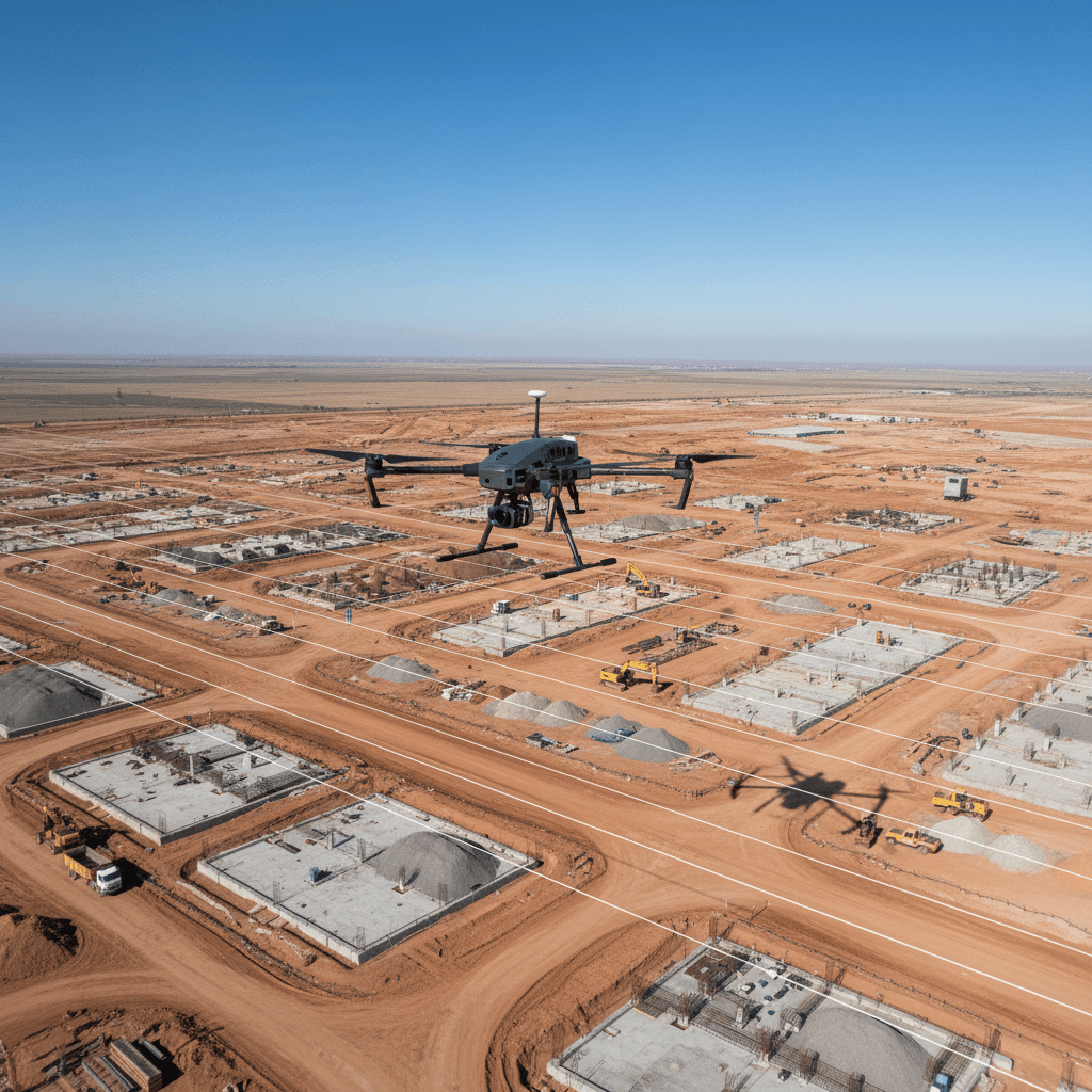
Survey Execution
Our licensed drones execute the flight path, capturing images with 80% overlap to build a comprehensive model.

Data Processing
We transform thousands of images into a precise point cloud and 3D model ready for measurement.

Verification & Delivery
We align the model with GCPs and provide accuracy reports and engineering-ready plans.
Looking for a certified aerial survey provider?
We operate under dual GACA and GEOSA licensing, ensuring data accuracy and full regulatory compliance for your operations.
2
Official Licenses
Fully licensed by GACA and GEOSA for total regulatory compliance.
3cm
Measurement Accuracy
Accuracy up to ±1-3 cm, verified via Ground Control Points.
8
Drone Fleet
A professional fleet ready for survey projects across all regions.
Get a detailed RTK aerial survey report for your project
Submit your project details today for a technical proposal and execution plan within one business day.