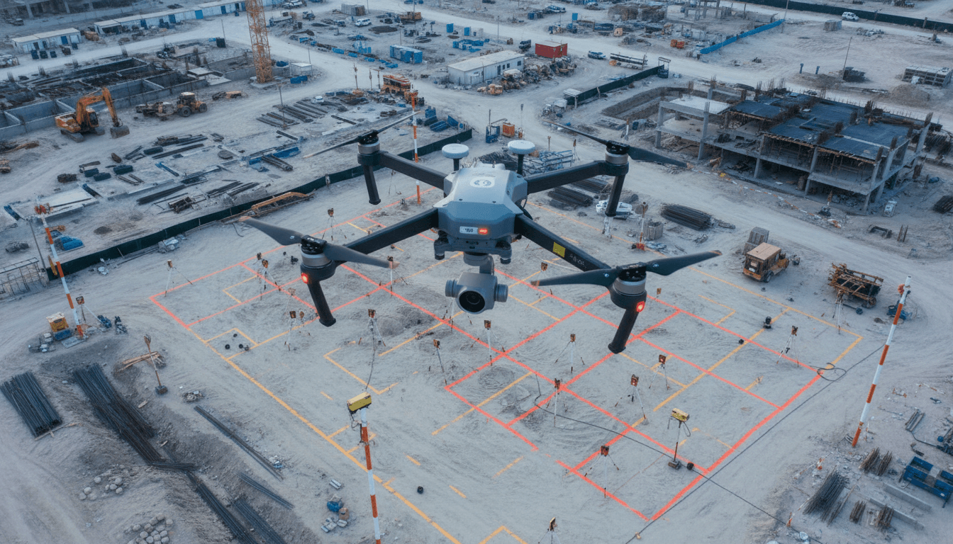
360° Aerial Imagery — Perspective from the Sky
We capture 360-degree panoramic aerial images and transform them into immersive, interactive virtual tours that bring your project to life.
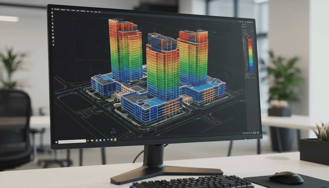
360° Aerial Imaging — Building Virtual Realities from the Sky
We use drones to capture 360° spherical panoramas from multiple altitudes, creating interactive virtual reality experiences for real estate projects and destinations.
360° Spherical Aerial Photography
Our drones are equipped with 360-degree cameras that capture spherical panoramas, covering every angle from sky to ground in stunning resolution.
Interactive Virtual Tours
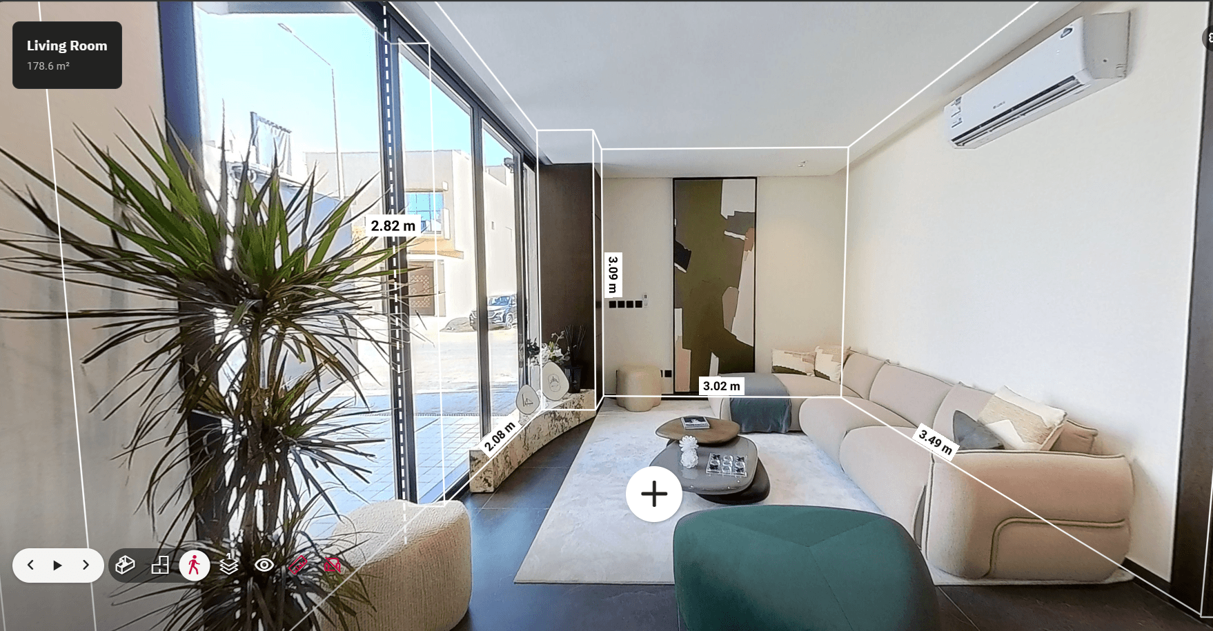
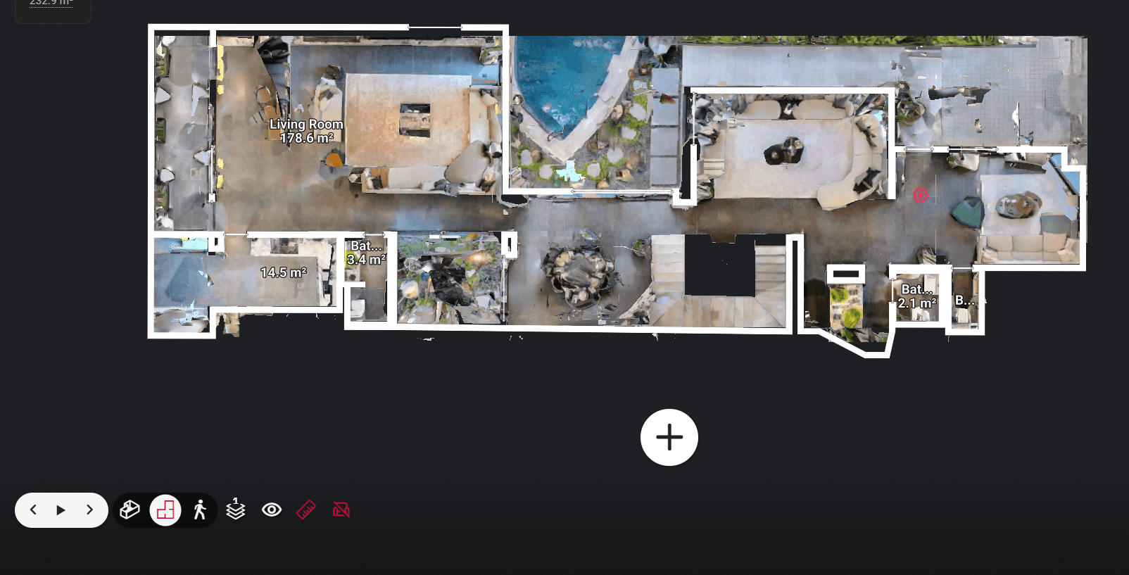
We convert aerial imagery into immersive virtual tours, allowing clients to explore projects from any angle on any device.
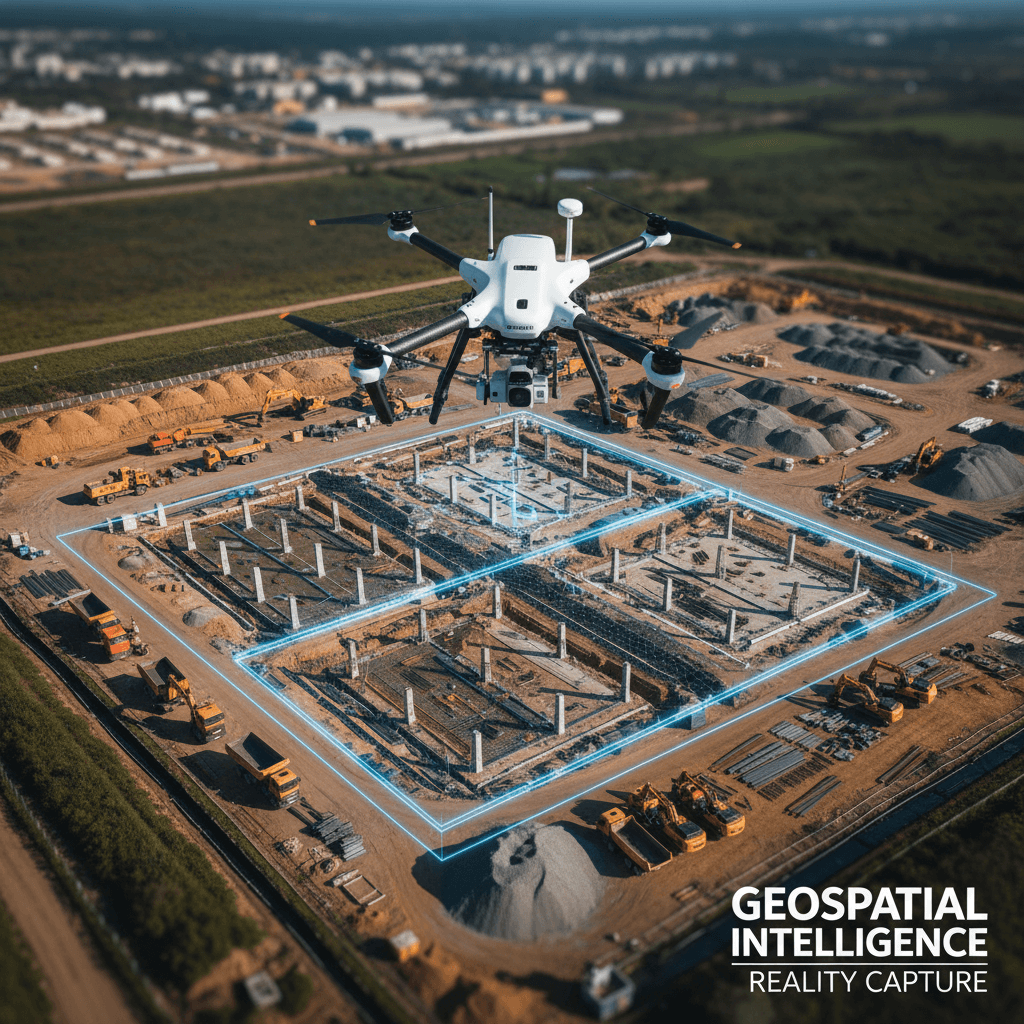
Centimeter-Level Accuracy
Utilizing RTK technology, we achieve 1-3 cm accuracy verified against Ground Control Points (GCPs).
Interactive Real Estate Marketing
Provide clients with a remote viewing experience through comprehensive aerial and ground virtual tours that drive sales.
Professional & Rapid Processing
Our specialized team processes data quickly without sacrificing quality or precision in the final deliverables.
Comprehensive Detailed Reports
Full documentation of results with visual aids and analysis to support confident, professional project decisions.
FAQs: 360° Aerial Photography & Virtual Reality
Explore answers to common client questions regarding our panoramic aerial imaging and 360° virtual tour services.
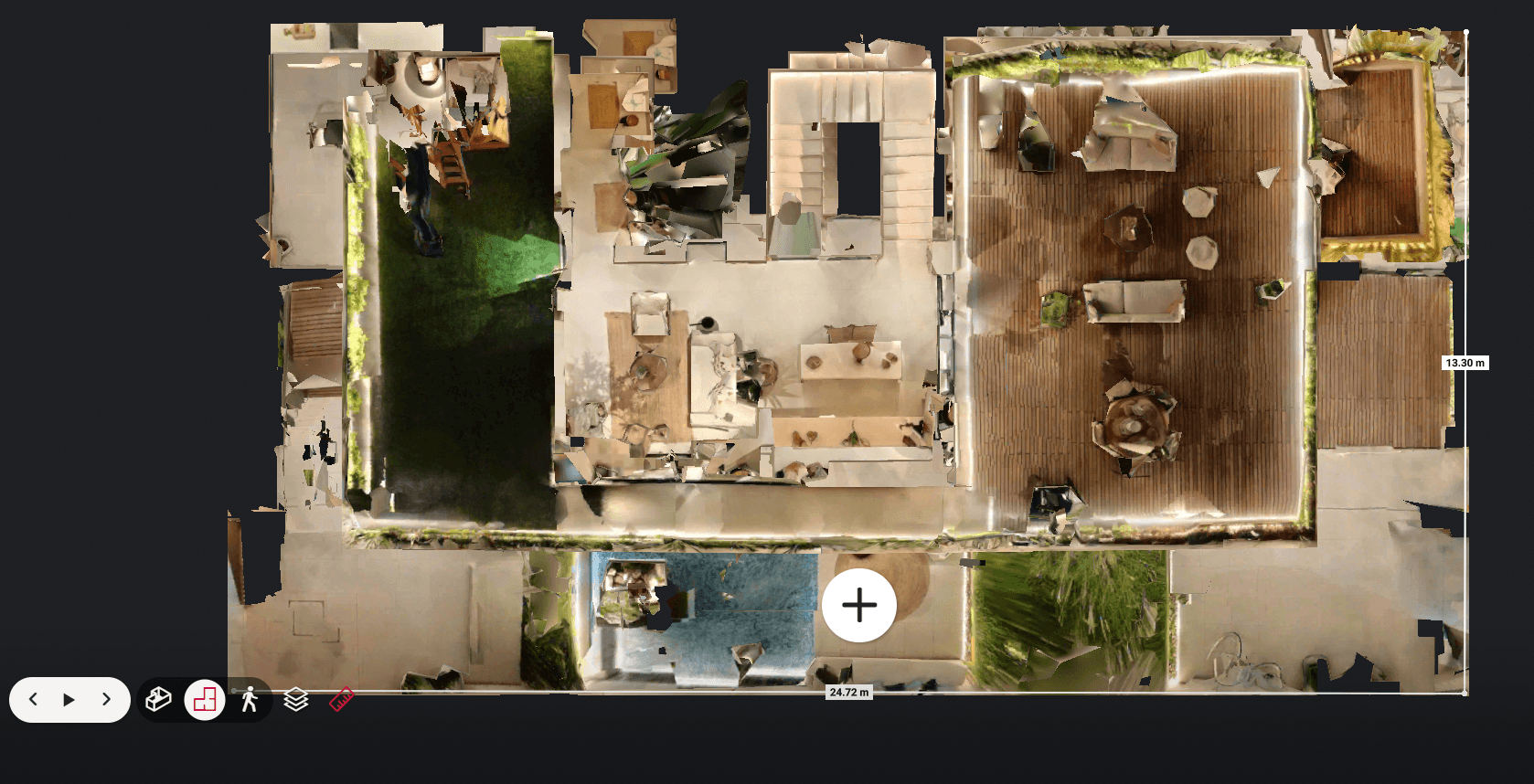
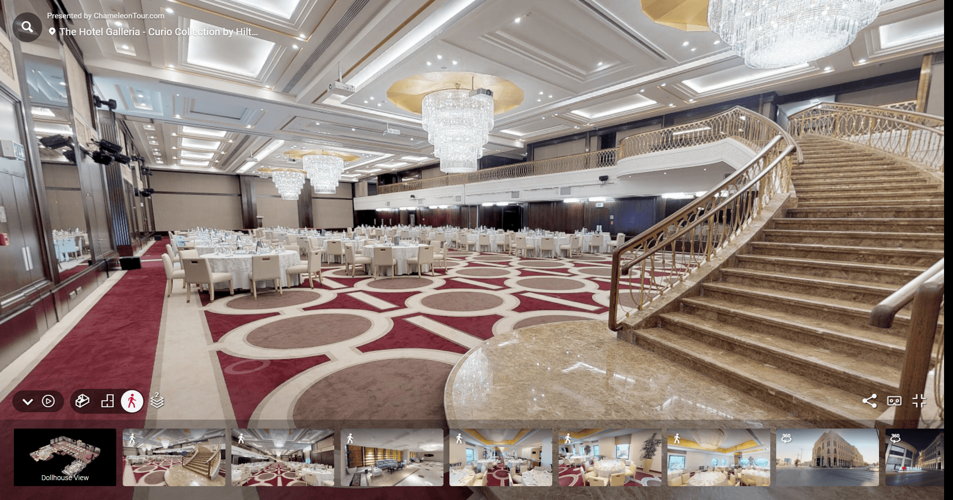
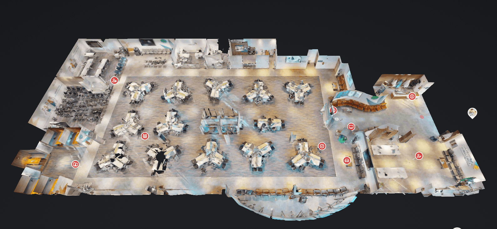
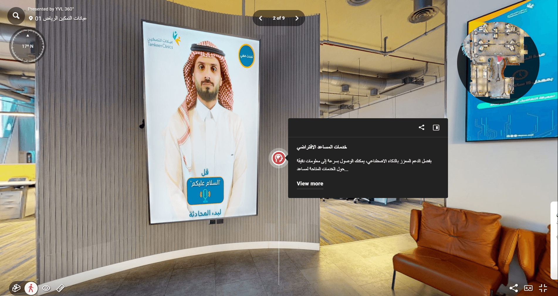
360° Aerial & Virtual Tour Projects
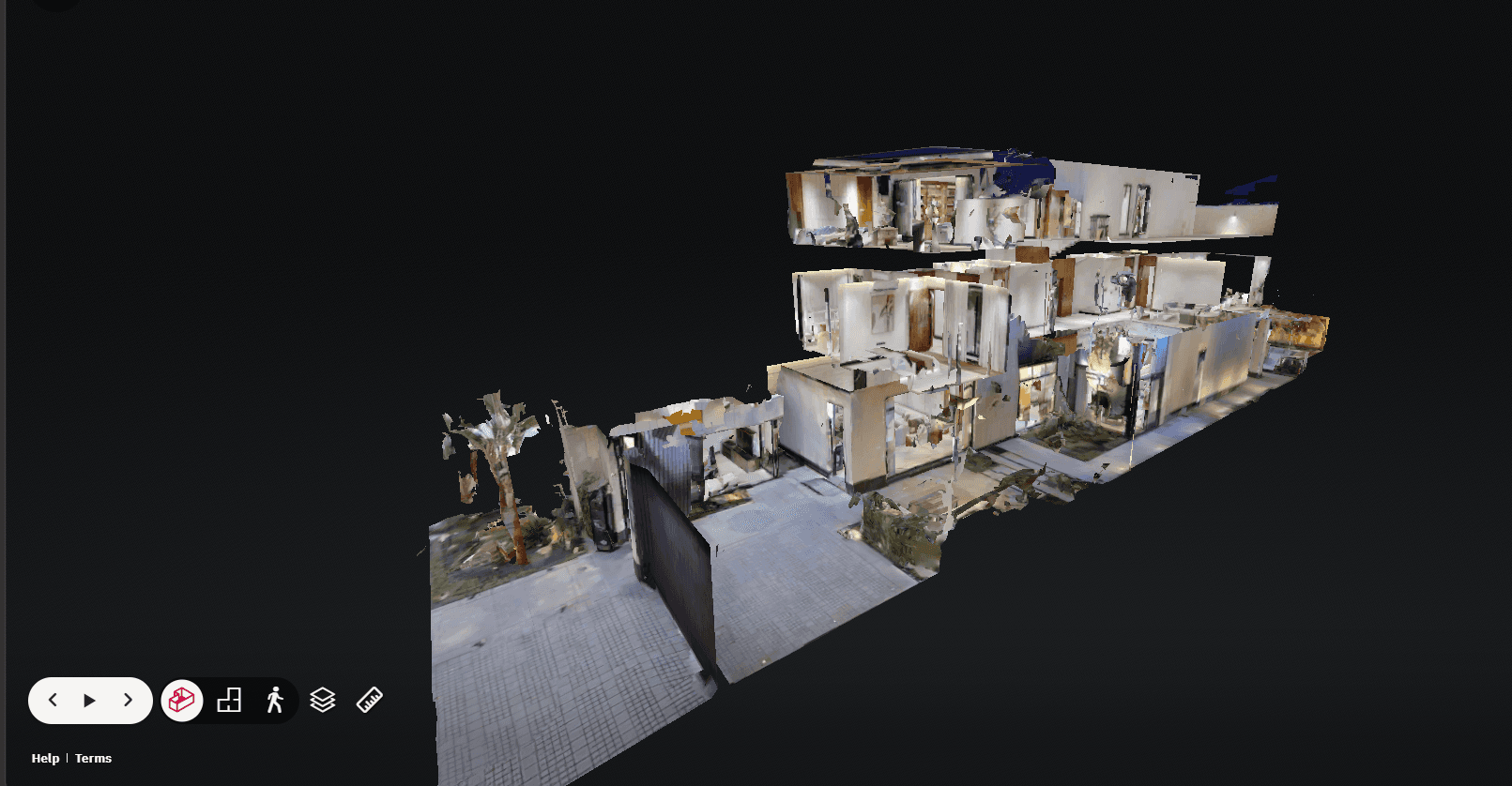
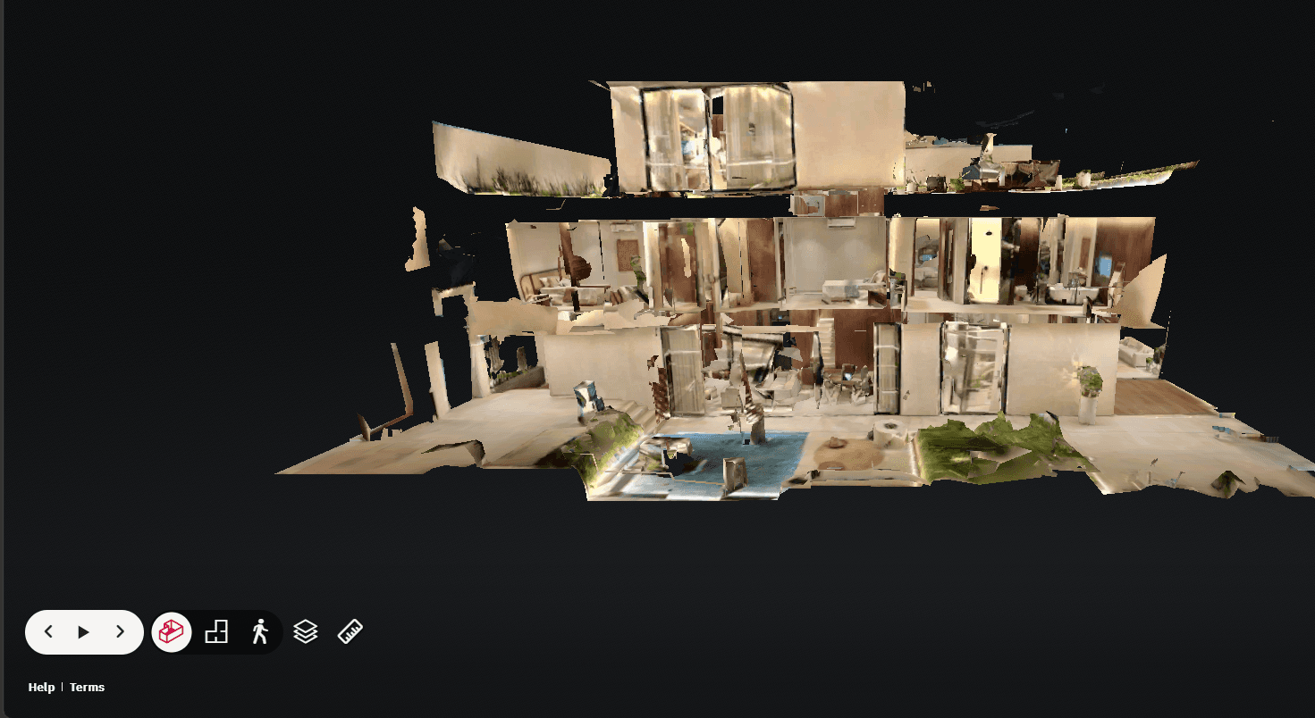
Aerial panoramas and 360° virtual tours from previous projects demonstrating our sky-to-VR capabilities.
Take to the Skies with Your Virtual Tour
Contact the Majed team to build a 360° virtual tour for your project. Professional aerial imaging and immersive experiences accessible on any device.