
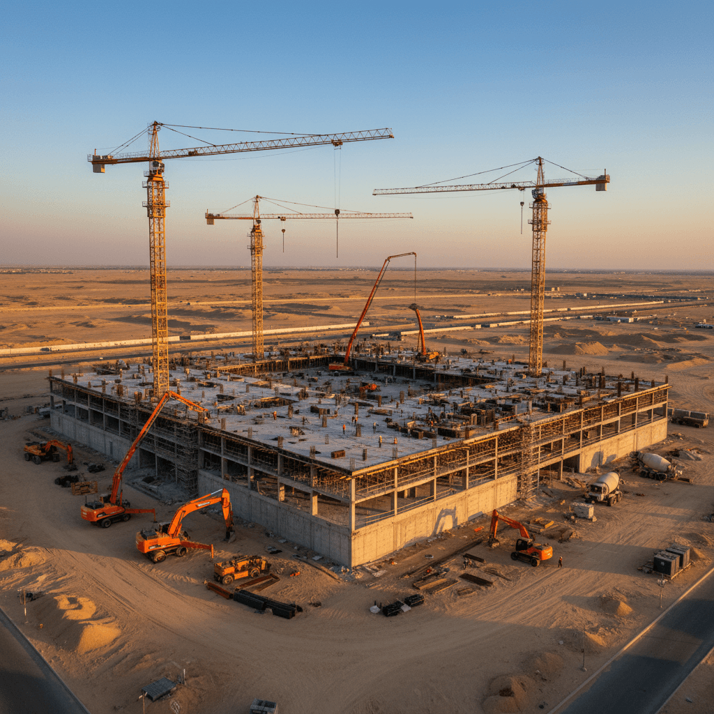
How RTK Drone Surveying Improves Construction Projects in Saudi Arabia
We share the latest technologies and practical applications for aerial imaging, surveying, thermal detection, and live broadcasting for projects in Riyadh and the region.
What is RTK Drone Surveying?
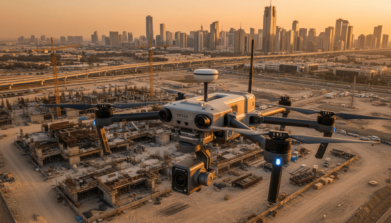
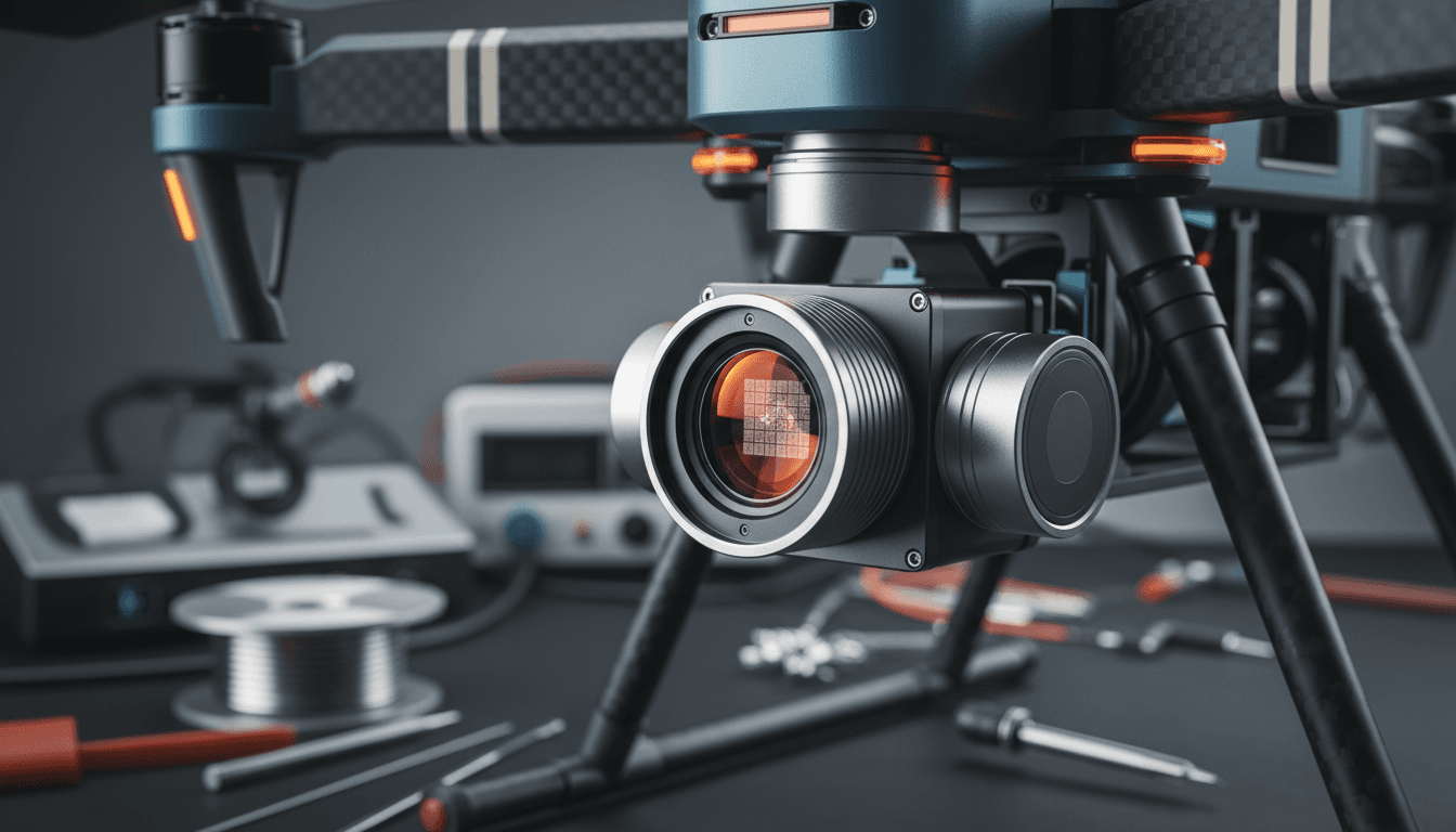
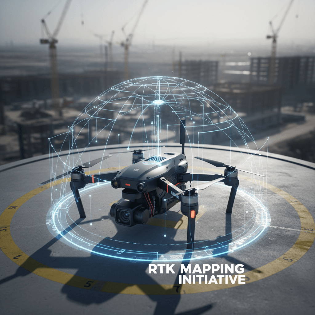
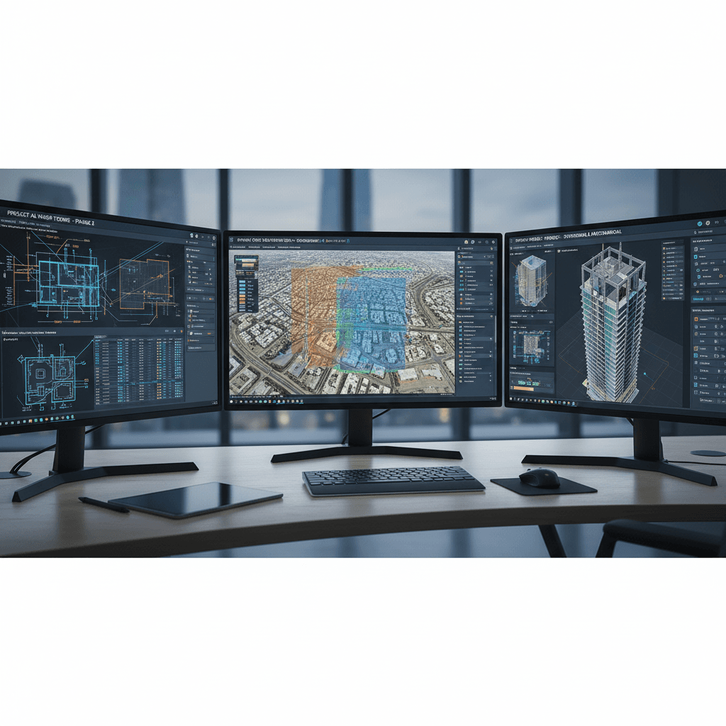
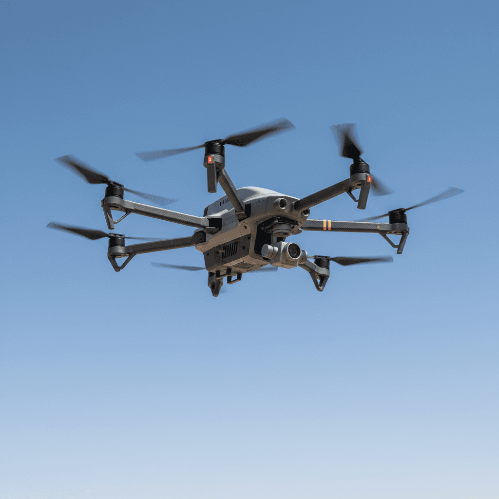
RTK stands for "Real-Time Kinematic." The drone carries an advanced GPS receiver that communicates with a fixed base station to correct positioning errors in real time, achieving centimeter-level accuracy. Unlike standard GPS, which can have errors of several meters, RTK ensures every captured point has a precise geographic coordinate. Post-flight, thousands of images are stitched into an Orthomosaic—a high-resolution, measurable aerial map compatible with GIS and BIM software.
Where Traditional Methods Fail Precision Drone Solutions Begin
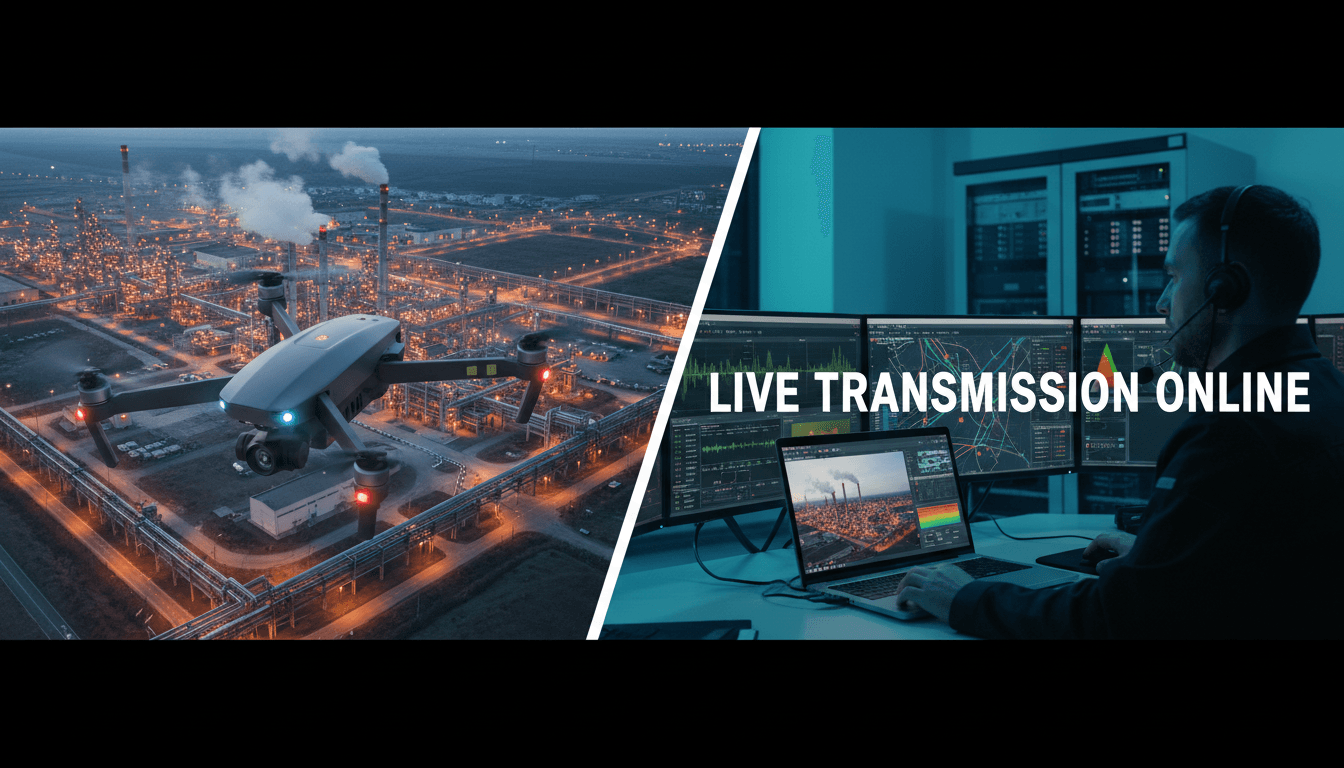
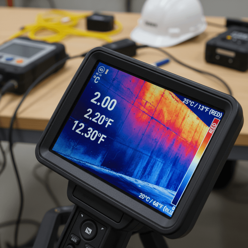
At Majed Aerial Solutions, we provide specialized drone services that merge high-tech capability with engineering precision. From 6K aerial filming to RTK-precise mapping, thermal inspection, and live event broadcasting, we deliver reliable data that integrates seamlessly with GIS and BIM workflows for construction, engineering, and industrial projects across Riyadh and the Kingdom. Traditional surveying drains time, effort, and resources. Our drone solutions change the equation entirely. Instead of field crews spending days on a single site, our drones finish the job in hours with higher accuracy and lower costs. No need for large teams, heavy equipment transport, or halting site operations. In many cases, we capture a level of detail that traditional methods simply cannot reach. In rugged terrain, high-altitude structures, or hazardous facilities, your team stays safe while our drones capture every detail with zero margin for error. For instance, thermal inspections detect hidden issues in roofs, infrastructure, and machinery before they turn into expensive failures—problems invisible to the naked eye. For large-scale projects, what used to take weeks of ground surveying is now delivered as actionable data within 24 hours. High-precision maps, 3D models, and reports are ready for immediate use in design, execution, and monitoring. Most importantly, every flight is repeatable with identical paths and altitudes, making periodic monitoring a precise, documented comparison. Track progress, spot changes, and make decisions based on real-time data, not guesswork. This isn't just a tool upgrade; it's a total transformation of project management.
Why Construction Leaders Choose Us
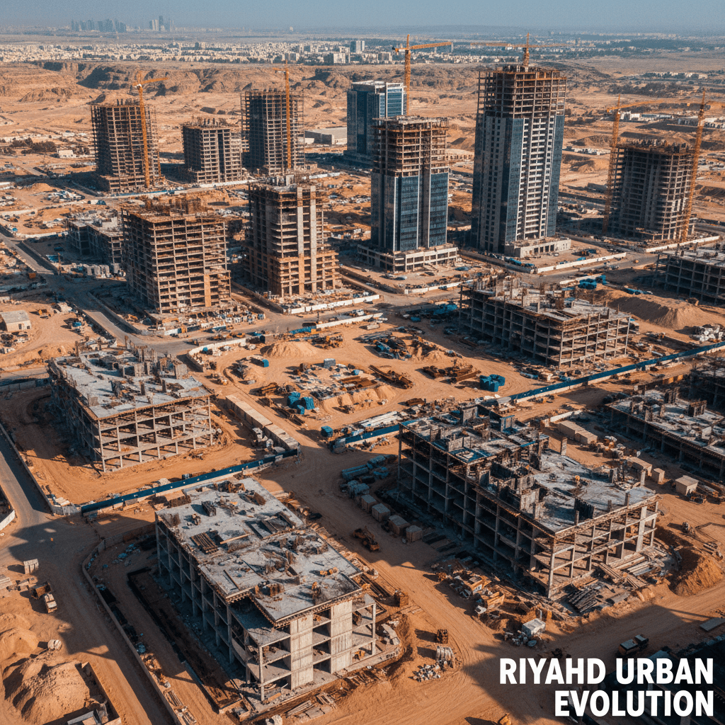
Why do leading developers and contractors rely on our services? Precision Site Monitoring from Above In every construction project, you need a reliable overview of actual progress, not just what is reported. We provide recurring 6K aerial visual reports that document every phase, offering clear time-lapse comparisons between planned designs and as-built reality. This gives you true oversight of the entire site without needing to be there every day. Stockpile and Earthwork Measurements Without the Guesswork Calculating volumes of onsite materials—whether sand, gravel, soil, or concrete—manually can take a full day and often results in inaccuracies. Using 3D aerial survey technology, we complete the same measurements in record time with centimeter-level precision. You receive a digital report for each individual pile, ready for archiving and historical comparison. Site Planning Based on Reality, Not Assumptions Before making decisions on crane placement, access routes, storage zones, or phasing, you need an accurate digital model of the site as it exists today. We provide updated aerial maps and 3D models compatible with BIM environments, enabling planning decisions based on facts rather than estimates, reducing onsite conflicts and costly rework. RTK Topographic Surveys: Faster and More Accurate Than Traditional Methods Traditional topographic surveys require field crews, days of labor, and ideal access conditions. Our RTK-equipped drones produce topographic maps with horizontal and vertical accuracy within centimeters, featuring geodetic control points ready for engineering design. The result is a complete site survey delivered in hours, not days. Quantity Takeoffs with Negligible Margins of Error The gap between estimated and actual quantities can cost hundreds of thousands on a single project. Through digital surface models built from millions of data points, we provide cut-and-fill and material calculations that traditional surveys cannot match. These digital reports feed directly into your estimation software and schedules, shortening planning cycles and accelerating decision-making at every stage.



Related Services
Start your project with precision RTK aerial surveys
Send your site details and receive AutoCAD-ready survey plans within 48 hours. We are ready to support your construction projects with full GACA and GEOSA licensing.