
GACA · GEOSA · RTK · GCP High-Precision Surveying
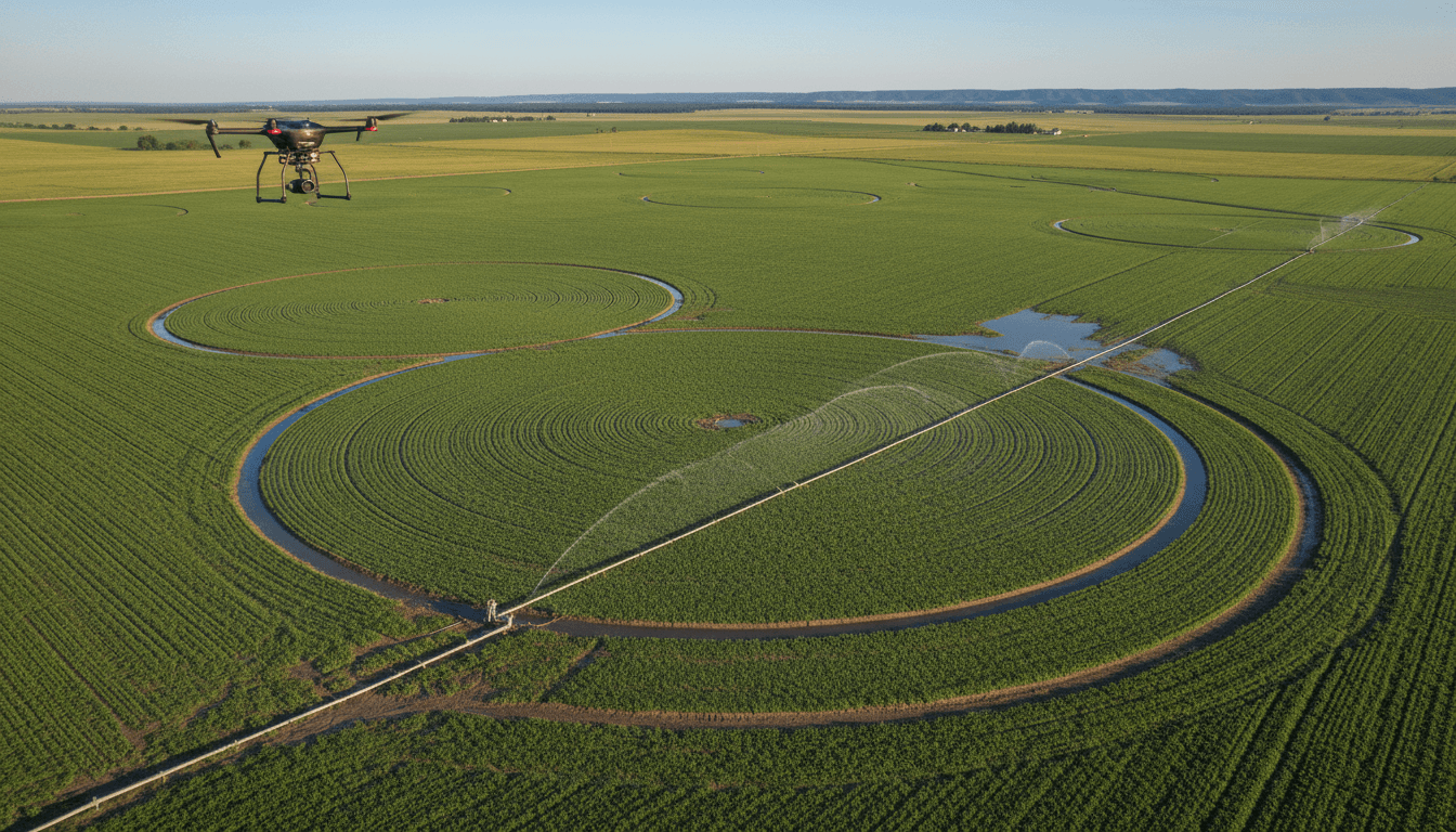
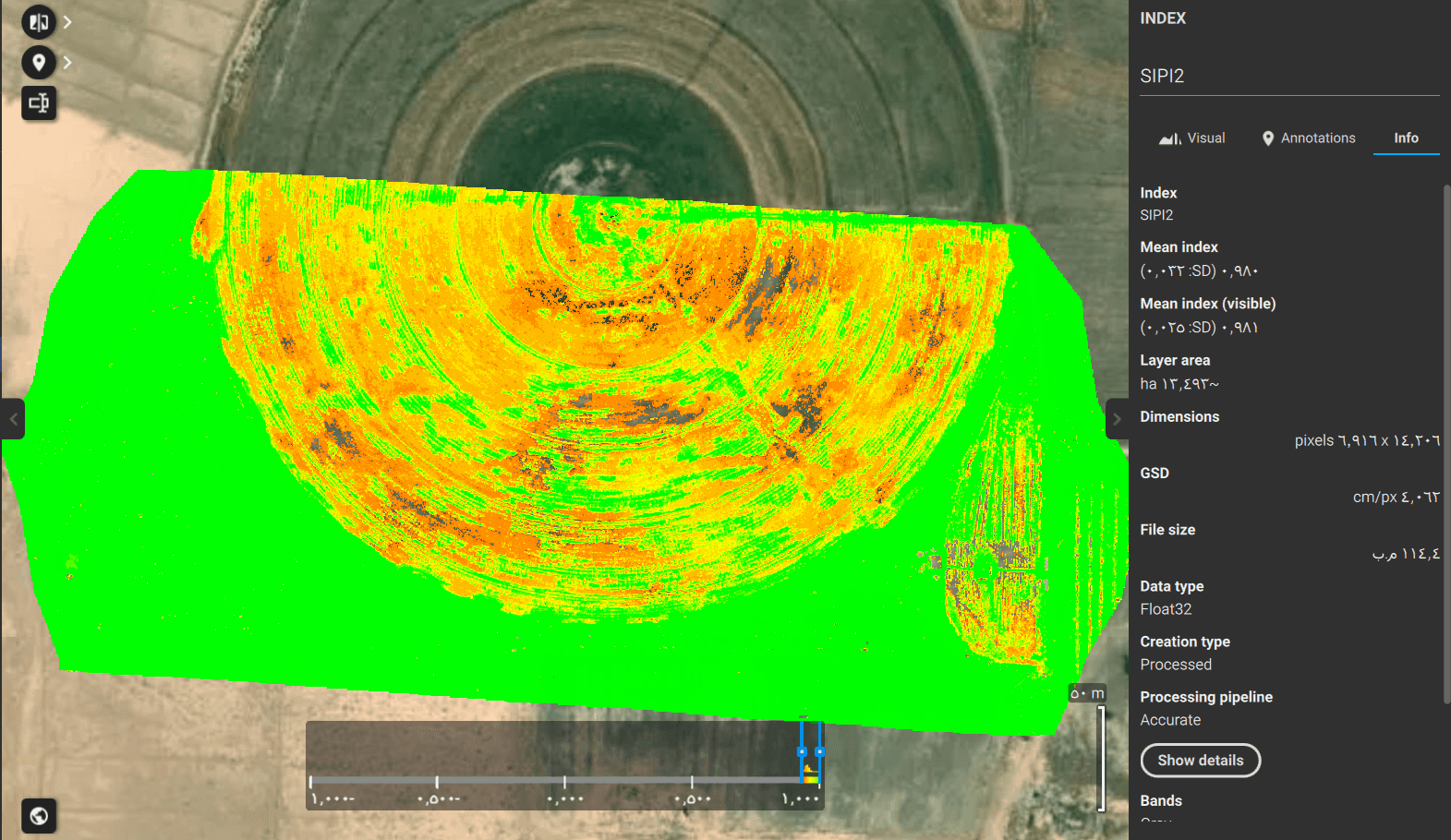
Utilize multispectral scanning technology to assess crop health and detect issues at the earliest stages.
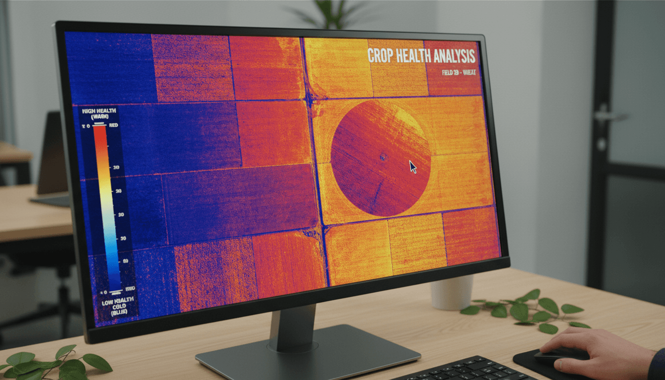
Multispectral Scanning & Aerial Crop Imaging
We deploy advanced multispectral sensors to analyze crop health and maximize yields. Every service is tailored to the unique requirements of Saudi agriculture.
Multispectral Surveying
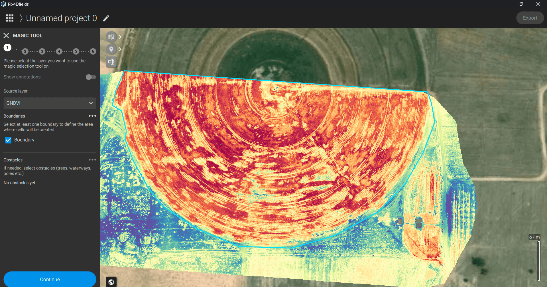
Precise analysis of plant health and water stress using advanced NDVI technology to optimize crop yields.
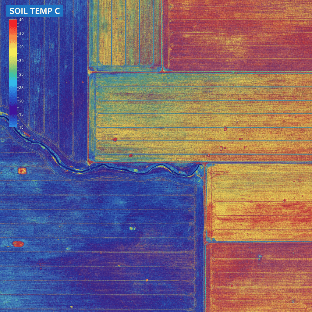
Soil Condition Monitoring
High-accuracy measurement of soil moisture and mineral content to support data-driven irrigation and fertilization.
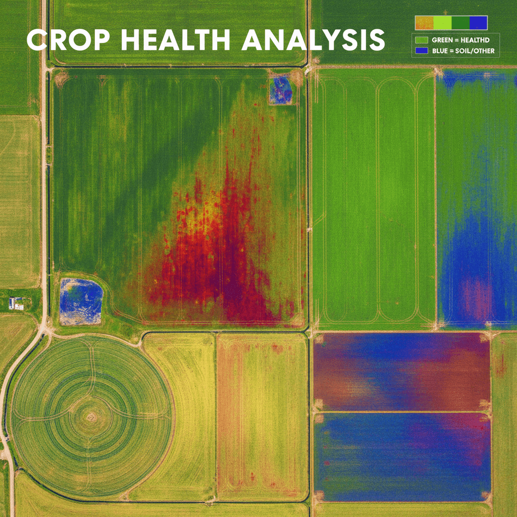
Crop Distribution Mapping
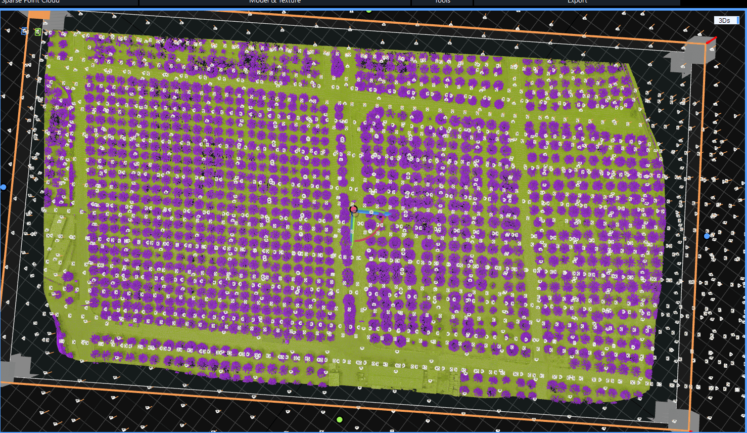
Accurate mapping of species distribution and density to improve resource management and ROI.
Pest & Disease Detection
Early identification of infected areas to prevent crop loss and minimize pesticide usage.
Seasonal Productivity Reports
Detailed reports on seasonal productivity based on spectral data and resource utilization.
Smart Farming Consulting
Customized recommendations from our expert team to optimize your practices based on real-world field data.
Precision Crop Monitoring at Sub-Meter Accuracy
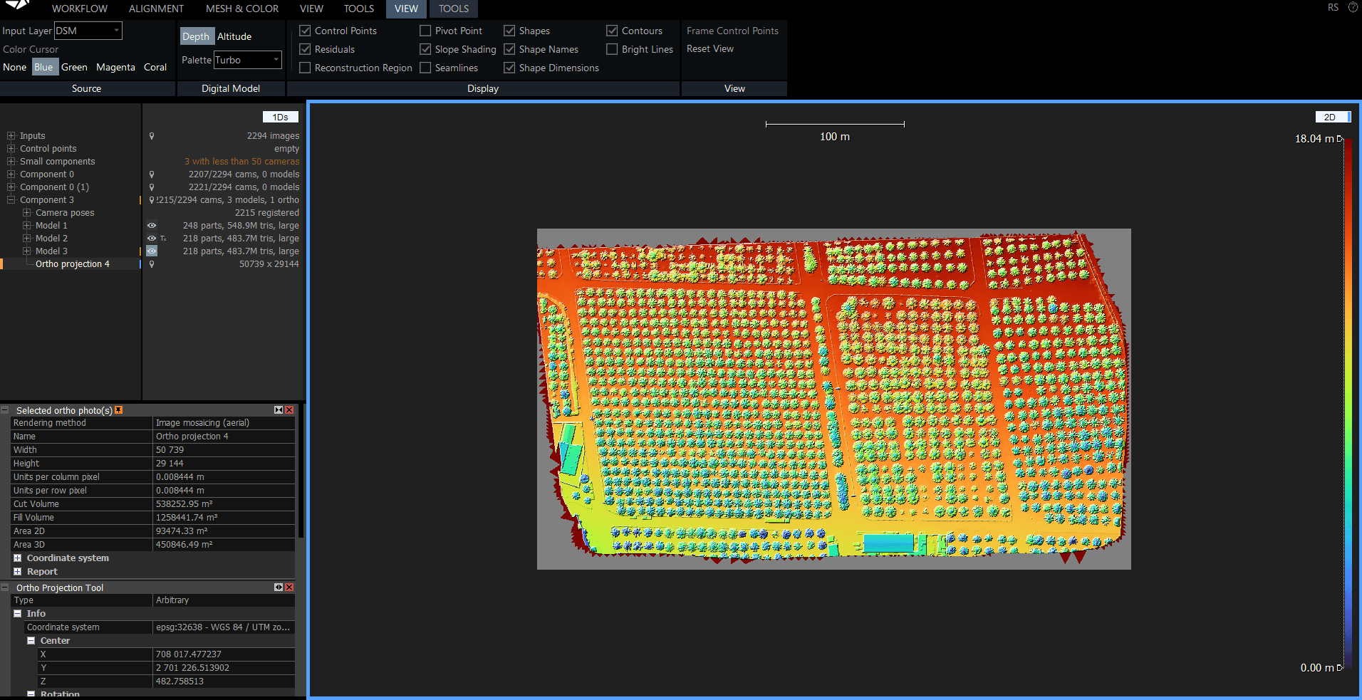
Utilize multispectral scanning and high-resolution aerial imaging to assess plant health, soil conditions, and irrigation efficiency. We provide actionable data to optimize yields and reduce operational costs.
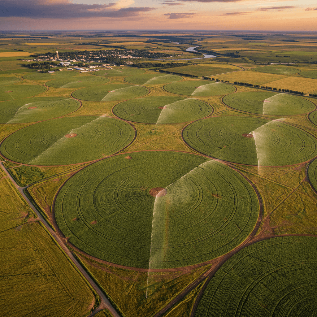
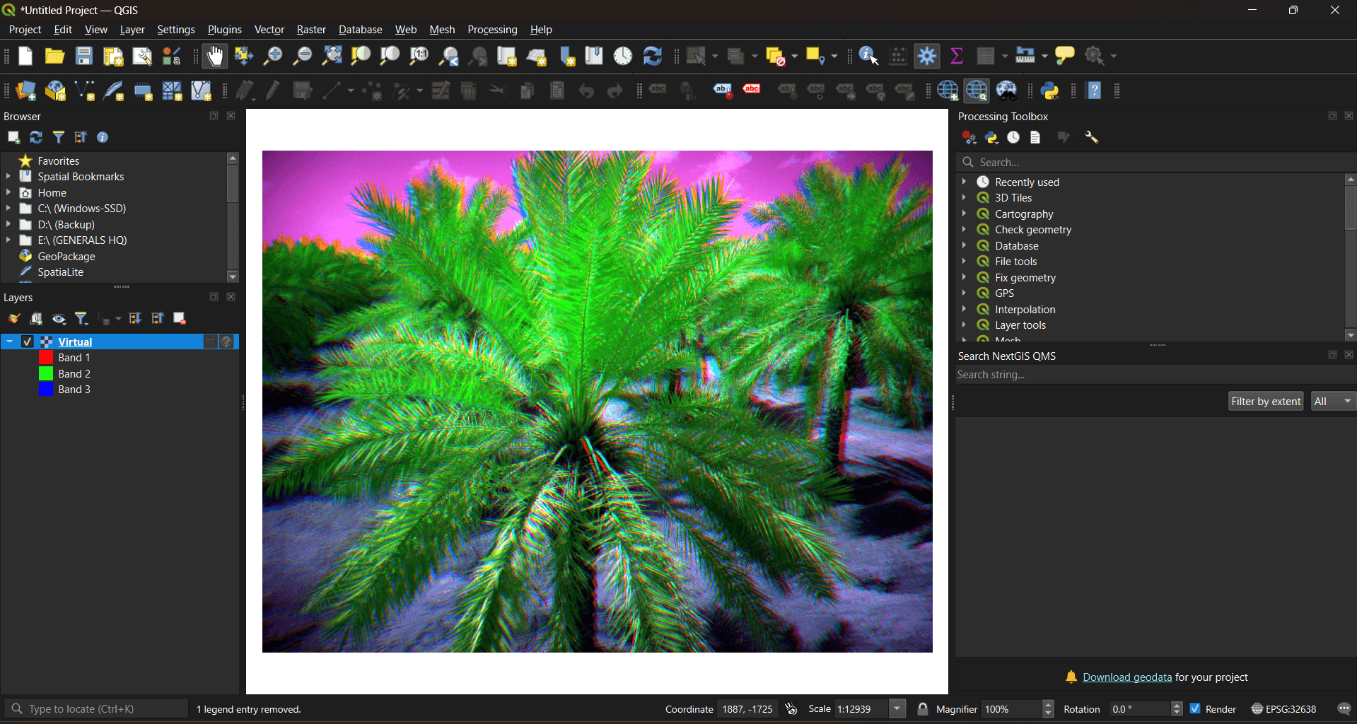
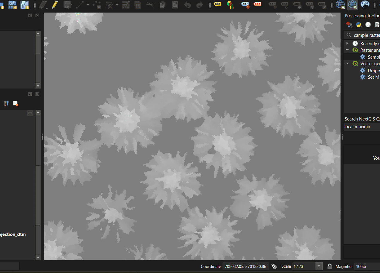
Our Fieldwork in Agricultural Projects
Documenting our multispectral surveying and aerial imaging operations for agricultural projects across Saudi Arabia.
Expert Consultation for Your Crops
Partner with Majed Aerial Solutions to optimize your agricultural output using advanced multispectral technology.