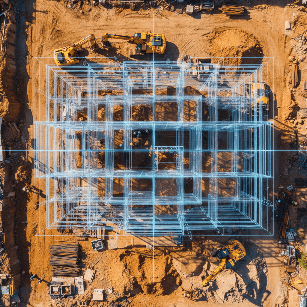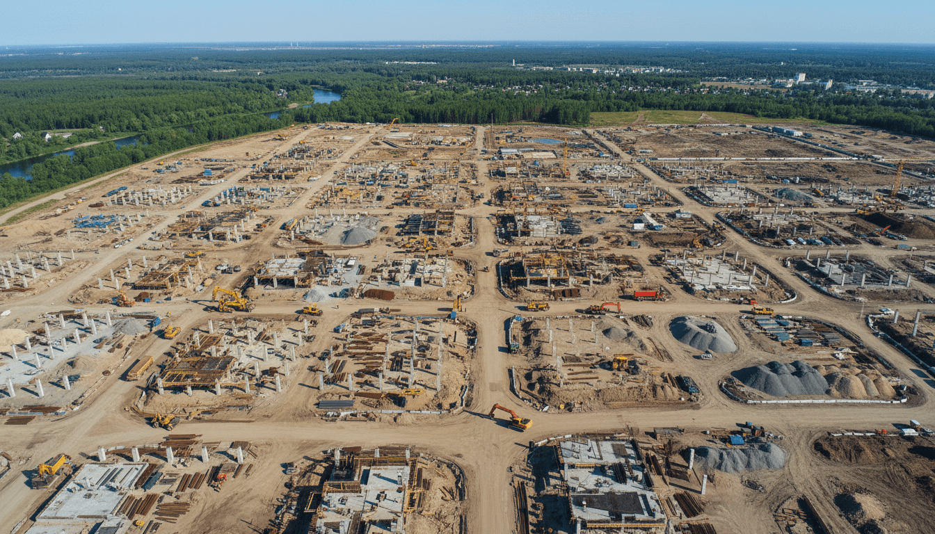
RTK aerial surveying achieves up to 3cm execution accuracy for Saudi construction projects, reducing design errors and providing ready-to-use digital models. This technology accelerates delivery and cuts costs by updating geospatial data in real-time during surveys.
Have construction decisions ever stalled due to outdated site plans or elevation discrepancies discovered only after work began? In Saudi construction, these errors lead to more than just re-measuring—they cause costly delays, team conflicts, and risks to quality and schedules. This is where RTK aerial surveying adds value, serving not just as a photography service, but as a surveying tool providing actionable data at the project's pace. In this article, we explore how RTK technology works, what differentiates it from traditional surveying, when it is the right choice, and what you should expect from a provider regarding accuracy, deliverables, and regulatory compliance within Saudi Arabia.
Why the Saudi Construction Sector Relies on RTK Aerial Surveying
In short, RTK aerial surveying for Saudi construction projectshas become a practical choice because it combines speed with field-ready precision. When executed correctly, includingverification with Ground Control Points (GCPs), it typically achieves spatial accuracy within±1–3 cm, which is highly effective for roads, infrastructure, master planning, grading, and cut-and-fill operations.
Crucially, the value is not in the drone alone. The quality of anaerial drone surveydepends on a complete workflow: flight planning tailored to project goals, real-time RTK positioning corrections, independent ground verification (GCPs or checkpoints), disciplined photogrammetric processing, and delivering outputs compatible with design and execution teams.
This is whydrone surveyingreduces survey time, increases data density, and minimizes rework caused by inaccurate readings or incompatible deliverables. If the goal is engineering-grade outputs, the true standard is a comprehensive execution methodology, such as the one we provide in ourAerial Survey Services.
What is RTK Aerial Surveying and How Does it Differ from Traditional Methods?

Since the value ofRTK aerial surveying in Saudi constructioncomes from more than just the hardware, it is vital to understand what RTK means for deliverables, beyond the technical jargon.
Simply put,RTK (Real-Time Kinematic)provides instantaneous corrections to the drone's coordinates during flight, ensuring every image is tagged with far greater precision than standard GNSS. Practically, this means images enter photogrammetric processing with stronger spatial referencing, resulting in more stableorthomosaics,DEM/DSMmodels, contour lines, 3D models, and volume calculations.
Intraditional aerial surveyingwithout corrections, or when relying solely on internal drone coordinates, a map might look good visually but fail a surveyor needing reliable elevations or a surface for AutoCAD Civil 3D and GIS. The real difference appears when images become an executive decision, not just a display on a screen.
In summary: -Aerial Surveyingis the collection of site data from the air to document, measure, and analyze land. -Photogrammetric Aerial Surveyingis a specific type using overlapping images to extract measurements and models via photogrammetry.
A common misconception is that RTK eliminates the need forGround Control Points (GCPs)entirely. In reality, it usuallyreduces the number requiredand makes their use more efficient, specifically as independent checkpoints to verify actual accuracy rather than assuming it. This is the difference between a quick marketing pitch and disciplined engineering execution.Aerial Survey Services.
Therefore, when comparing drone surveying oraerial drone surveybetween providers, don't just ask if they use RTK. Ask how RTK improves their orthomosaic quality, DSM accuracy, contour reliability, and the validity of cut-and-fill volumes. That is where professional expertise shows.
Spatial Accuracy in Saudi Construction: What ±1–3 cm Means on the Ground

This is where the real value of±1–3 cmprecision inRTK aerial surveying in Saudi constructionbecomes clear. This figure means data can be used directly for sensitive decisions, such as reading elevation differences, reviewing platform grading, or comparing as-built surfaces with design surfaces in AutoCAD Civil 3D and GIS environments.
On a development site in Riyadh, for example, this level of accuracy helps project teamsstake out elevations and review gradingbefore starting costly subsequent layers. In desert road projects, it is vital for checking longitudinal and transverse slopes and detecting deviations invisible to the naked eye. For suburban infrastructure,aerial drone surveyit is a practical tool for matching existing surfaces with master plans, especially when generating surface files, contours, and points for direct import into Civil 3D.
In large-scale earthworks, spatial accuracy directly impactsstockpile volume calculationsand chronological progress monitoring. The value isn't just a pretty model; it's the ability to measure if the target elevation was reached, if there is over-excavation or under-filling, and if reported progress matches reality. This makesdrone surveyingdirectly linked to cost control and rework reduction.
In Saudi Arabia, marketing a precision figure isn't enough. High heat, glare, and uniform sandy surfaces can affect photogrammetric matching if the methodology isn't disciplined. Factors like overlap planning, altitude selection, checkpoint distribution, and independent result reviews are more critical than the RTK hardware itself.
Common errors inland aerial surveysand construction sites include: - Poor forward and side image overlap - Insufficient or poorly distributed control/checkpoints - Selecting flight altitudes that don't match the required detail - Ignoring the impact of lighting and glare on bright or sandy surfaces - Accepting processing results withoutindependent ground verificationof accuracy.
For this reason, any output intended for design or monitoring must be viewed as part of a quality control chain, not just aerial photos. When executed with this methodology, data fromAerial Survey Servicesbecomes a reliable asset for engineering oversight and a baseline for subsequentdrone construction monitoring.
When is RTK Drone Surveying the Best Choice for Construction Projects?

ChoosingRTK aerial surveying in Saudi constructionis not just a technical upgrade; it is a decision tied to project timelines and budgets. It becomesdrone surveyingthe smartest choice when time is critical, particularly for initial topographic surveys of large sites where traditional ground equipment cannot provide the same point density in record time.
There are specific cases whereaerial surveying via droneis the most effective solution, such as difficult terrain or sites with heavy machinery movement that hinders ground crews and poses safety risks. It is also the ideal choice for earthworks and pre-construction documentation, providing a complete digital archive with centimeter-level accuracy.
Comparison | Ground Survey (Total Station/GPS) | RTK Drone Survey |
|---|---|---|
Speed of Execution | Low for large areas | Very high (covering hundreds of hectares daily) |
Site Detail | Manually selected, sparse points | Dense point clouds and 3D models |
Occupational Safety | Requires surveyors to enter hazardous areas | Conducted remotely without entering every point |
Cost for Repetition | High for re-surveys | Low; ideal for periodic monitoring |
However,land aerial surveysis not an absolute replacement for every detail. Major projects require integrating aerial outputs with ground surveys for covered areas or setting precise structural benchmarks. DeployingAerial Survey Servicesalongside adrone construction monitoringsystem ensures contractors and consultants have a comprehensive view combining elevation accuracy with total visual documentation.
Professional RTK Workflow: From Planning to Plan Delivery

Once you determine thatRTK aerial surveying in Saudi constructionis the right choice, the execution makes the difference. For serious projects, the mission doesn't start at takeoff, but with steps that lock in accuracy from the first decision to the final delivery.
1.Defining Mission Goals and Required AccuracyIs the goal an initial topographic surface, volume calculations, contours, or progress comparison? This dictates accuracy levels, output types, and ground verification density.
2.Permit Review and Operational ComplianceIn Saudi Arabia, professionalaerial drone surveyexecution begins with compliance. Majed Aerial Solutions is a Riyadh-based entity licensed by GACA (No. UA-38575) andUA-38575,GEOSA, ensuring work is part of a legal operational framework, not just a photo flight.
3.Flight PlanningThis involves setting altitude, overlap ratios, flight paths, and launch points based on site conditions. Open desert, infrastructure sites, and urban developments all require different settings.
4.Deploying Checkpoints or GCPs as NeededEven with RTK, we use independent checkpoints or Ground Control Points for sites requiring higher documentation standards or rigorous verification.
5.Executing the RTK FlightDuring the mission, images are recorded with real-time corrected coordinates while monitoring capture quality. Our fleet of8 professional aircraftallows us to choose the best platform for the site's size and mission type.
6.Photogrammetric Processing and Quality ControlPost-flight, we build the orthomosaic, surface models, and point clouds, then review accuracy against checkpoints to eliminate deviations before finalizing results.
7.Extracting Engineering DeliverablesDeliverables include DEM, DSM, contours, cross-sections, volume calculations, and 3D models compatible with your workflow.Aerial Survey Services.
8.Delivering Engineer-Ready FilesThe final value is here. We don't just deliver photos or PDFs, but files ready for AutoCAD Civil 3D, GIS, and executive workflows. We treatdrone surveyingas a complete engineering output, not a general aerial photography service.
Compliance and Regulation in Saudi Arabia: Why Licenses Matter as Much as Accuracy

Beyond technical execution, regulatory compliance is a critical factor for RTK aerial surveying in Saudi construction. In the Saudi market, the question isn't just whether a provider can produce a high-accuracy orthomosaic or surface model, but whether they can do so legally without risking project delays, shutdowns, or rejection by the owner or consultant. This is where GACA drone regulations and Saudi drone permits become a practical reality.
Choosing a licensed provider mitigates operational risks, including: - Flight delays due to missing regulatory requirements - Mission shutdowns on-site or near sensitive areas - Rejection of deliverables due to poor operational documentation - Difficulties in periodic re-surveys for regular monitoring programs
Majed Aerial Solutions operates within a clear legal framework, licensed by GACA (UA-38575) and GEOSA, with media permits from GAMR where applicable. For a project manager, these are not secondary administrative details; they are part of the execution's reliability. Just as accuracy requires ground verification, drone surveying requires a legal operational cover to ensure mission continuity and deliverable integrity. You can review these on ourAccreditations and Licensespage or when requesting a scope of work via ourAerial Survey Services.
What Project Managers Should Ask an Aerial Survey Company Before Contracting
After verifying legal credentials, the next step for a project manager is turning anRTK aerial surveying in Saudi constructioninto an accountable scope of work. Before contracting, demand clear, written answers to the following:
What is the actual expected accuracy?is not just a marketing figure; it is the expected horizontal and vertical accuracy, along with the methodology used to estimate it.
Is there verification using independent ground control points?Ask about the quantity and distribution of GCPs or checkpoints across the site.
What exact deliverables are required?Orthomosaics, DSM, DEM, contours, point clouds, volume calculations, or 3D models.
Are the files compatible with engineering workflows?Including DWG, LandXML, and GeoTIFF files ready for AutoCAD Civil 3D and GIS software.
What is the turnaround time for delivery?The flight day is only the beginning; focus on the duration of processing, quality control, and final delivery.
What are the site boundaries, total area, and no-fly zones?Particularly for linear projects, fragmented sites, or areas near sensitive zones.
Is the company licensed?Verify Accreditations and Licenses and confirm operational readiness.
What is the safety and field coordination plan?Equipment movement, takeoff points, and onsite risk management.
Can the mission be replicated using the same methodology?This is critical when using data for future drone construction monitoring.
The most important advice: do not compare proposals based on price alone. Evaluate the quality control methodology and the usability of deliverables for 3D modeling, volume calculations, and project scheduling software. Vague answers often lead to hidden costs for re-surveys or unreliable data. To ensure your technical scope is comprehensive from the start, refer to Aerial Survey Services.
How projects in Riyadh and across KSA benefit from a local Aerial Survey provider
When selecting a provider, the advantage of a local team is clear. For RTK drone surveys on Saudi construction projects, local presence means faster communication, immediate site familiarity, and seamless coordination with owners and consultants.
Operating from Riyadh with Nationwide Coverage streamlines key logistics: - Rapid coordination, site inspection, and mission scheduling. - Deep understanding of diverse terrains, from urban expansion to open desert. - Expertise in government and consultant requirements for accuracy and file formats. - Ability to replicate surveys with consistent methodology for reliable time-series comparisons.
This is vital for construction, infrastructure, energy, and real estate projects, as the value of a drone survey goes beyond a simple map—it integrates directly with drone construction monitoring 3D models, and daily engineering workflows. If your site requires actionable deliverables, start by defining the mission scope through a Aerial Survey Services before finalizing timelines.
Do you need an RTK Aerial Survey for a construction site in Saudi Arabia?
If you are managing an engineering or development project, accurate data is the first step in avoiding costly errors. At Majed Aerial Solutions, we provide professional RTK drone surveys for Saudi construction projects, ensuring engineering-grade reliability.
For an initial technical recommendation, please provide: - Project location (coordinates or KMZ file). - Total area to be covered. - Required deliverables (e.g., volume calculations or 3D models). - Proposed execution timeline.
Our team will review these requirements to integrate them into a Aerial Survey Services or drone construction monitoring based on your needs. We are committed to the highest accuracy standards; please review our Accreditations and Licenses to ensure full compliance for your project.
RTK technology is essential for ensuring data precision and reducing errors in Saudi construction projects, directly contributing to successful planning and execution. Maximizing this technology requires technical expertise and advanced equipment. If you need expert assistance for your next project, Majed Aerial Solutions offers professional Aerial Survey services that meet your highest expectations. We simplify complex processes for our partners, delivering reliable geospatial data that enhances field efficiency.