
Geospatial Intelligence Insights
Read our latest articles and expert insights on aerial surveying, imaging, and remote sensing.

Aerial Photography Services in Saudi Arabia: A Complete Guide to Drone Photography, Videography, and Live Broadcast
Explore the definitive guide to professional drone solutions. Discover how aerial photography services in Saudi Arabia can elevate your events and real estate projects.
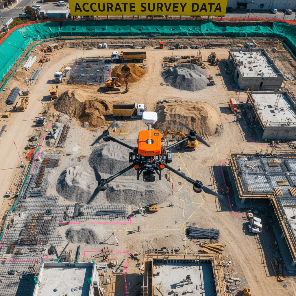
RTK Drone Survey Accuracy in Saudi Arabia: Drones vs. Traditional Methods
Compare RTK drone survey accuracy against traditional total station methods in the Saudi market. Discover why high-precision aerial mapping is the preferred choice for large-scale infrastructure projects.

Thermal Drone Inspection for Riyadh Homebuyers: How to Save Thousands on Cooling Costs
Discover how thermal drone inspections help Riyadh homebuyers identify insulation gaps and leaks to significantly reduce long-term cooling expenses.
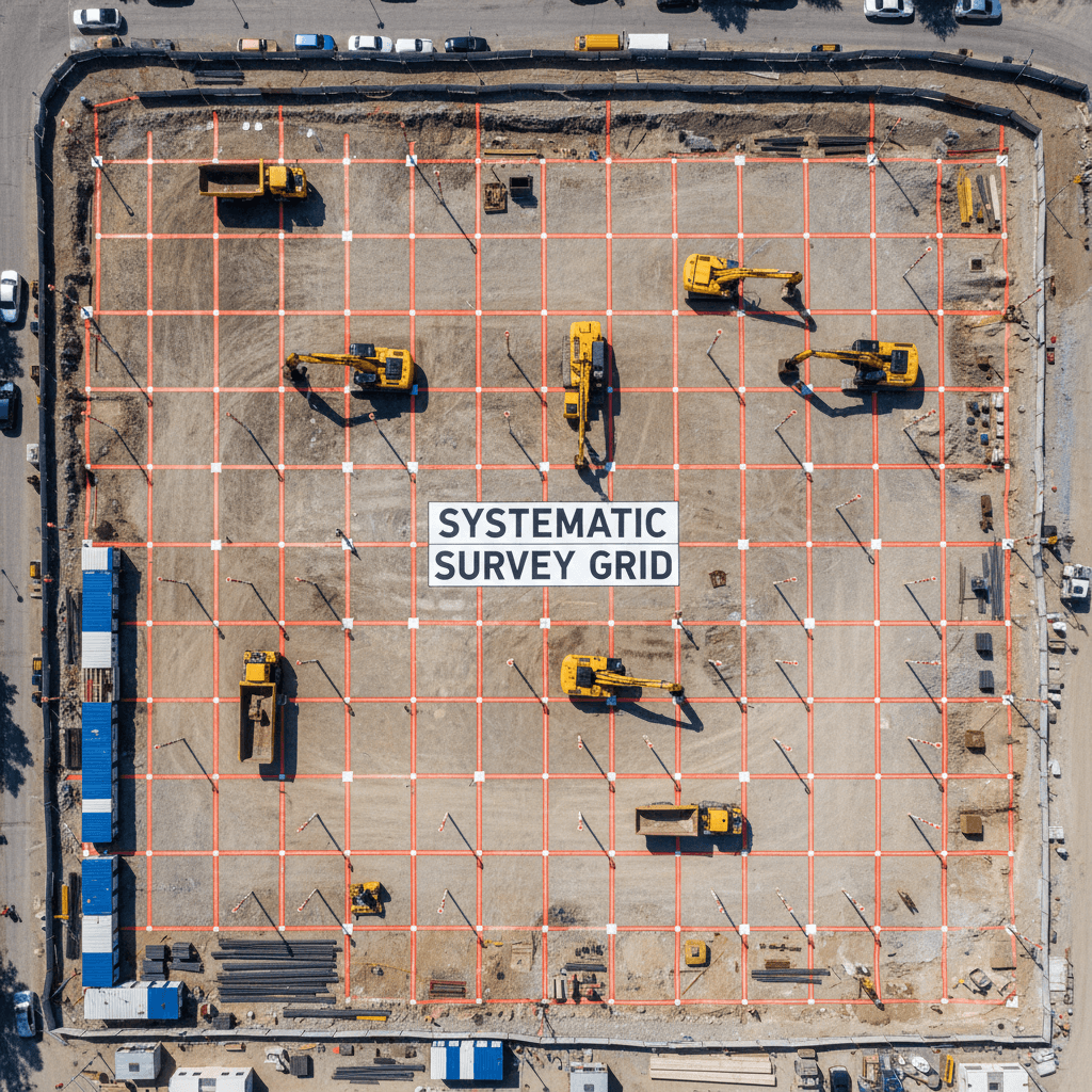
BIM-Compatible Datasets for Construction Site Monitoring: A Saudi Arabia Deliverables Guide
Master the use of BIM-compatible datasets for construction site monitoring in Saudi Arabia. This guide details how to turn drone data into actionable Revit models.
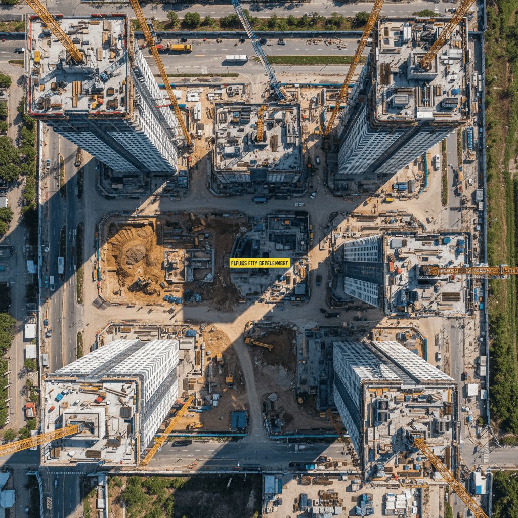
Precision RTK-based Aerial Mapping and GIS Data in Saudi Arabia for Modern Infrastructure
Discover how precision RTK-based aerial mapping and GIS data are revolutionizing infrastructure projects across Saudi Arabia. Learn about the benefits of high-resolution spatial data and BIM integration for modern construction.
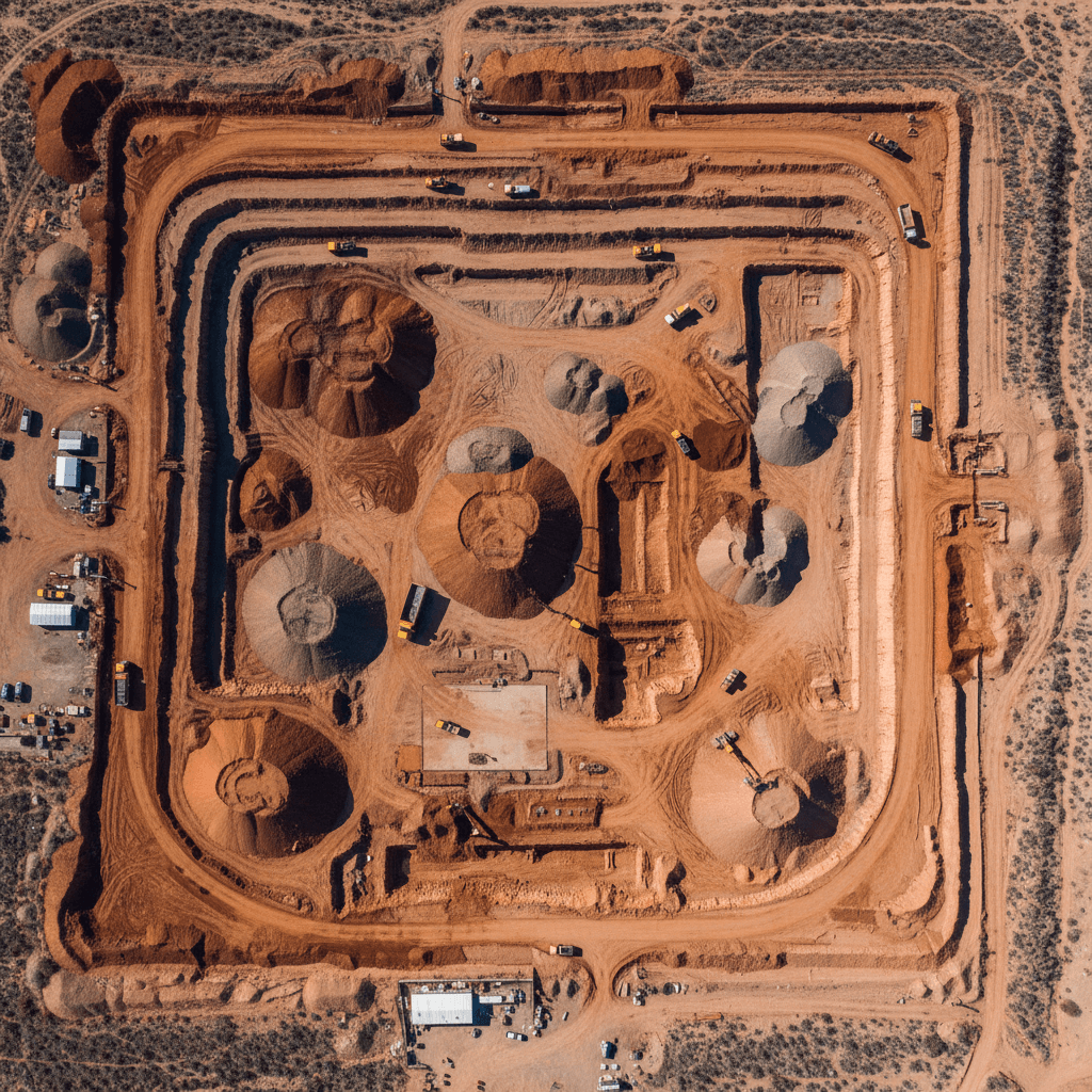
Drone Earthworks Quantity Surveying in Riyadh: Protecting Your Construction Budget
Discover how Majed Aerial Solutions utilizes advanced drone technology for precise earthworks calculations. Our quantity surveys help Riyadh-based projects manage cut and fill budgets with absolute accuracy.
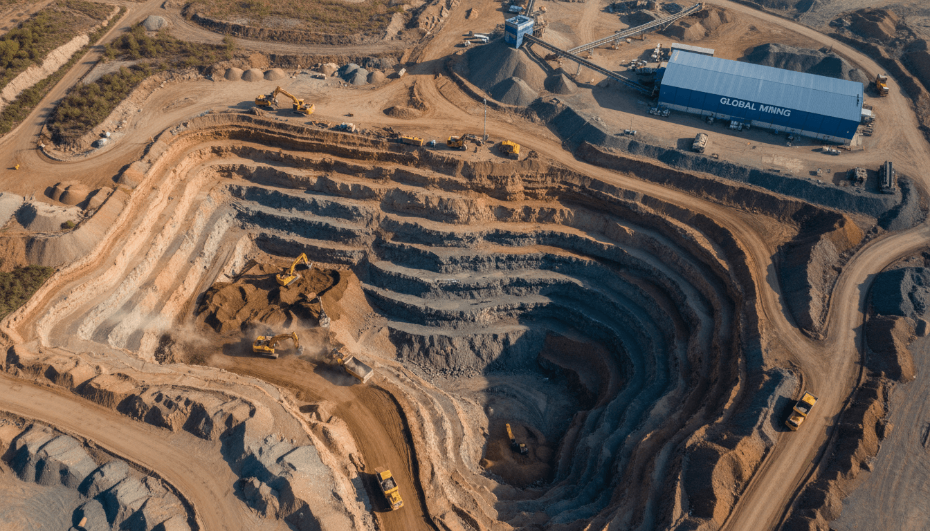
Drone Earthworks Quantity Surveying: Protecting Construction Budgets in Saudi Arabia
Accurate cut and fill calculations are vital for Riyadh construction projects. Learn how drone surveys deliver ±3cm precision to protect your earthworks budget.
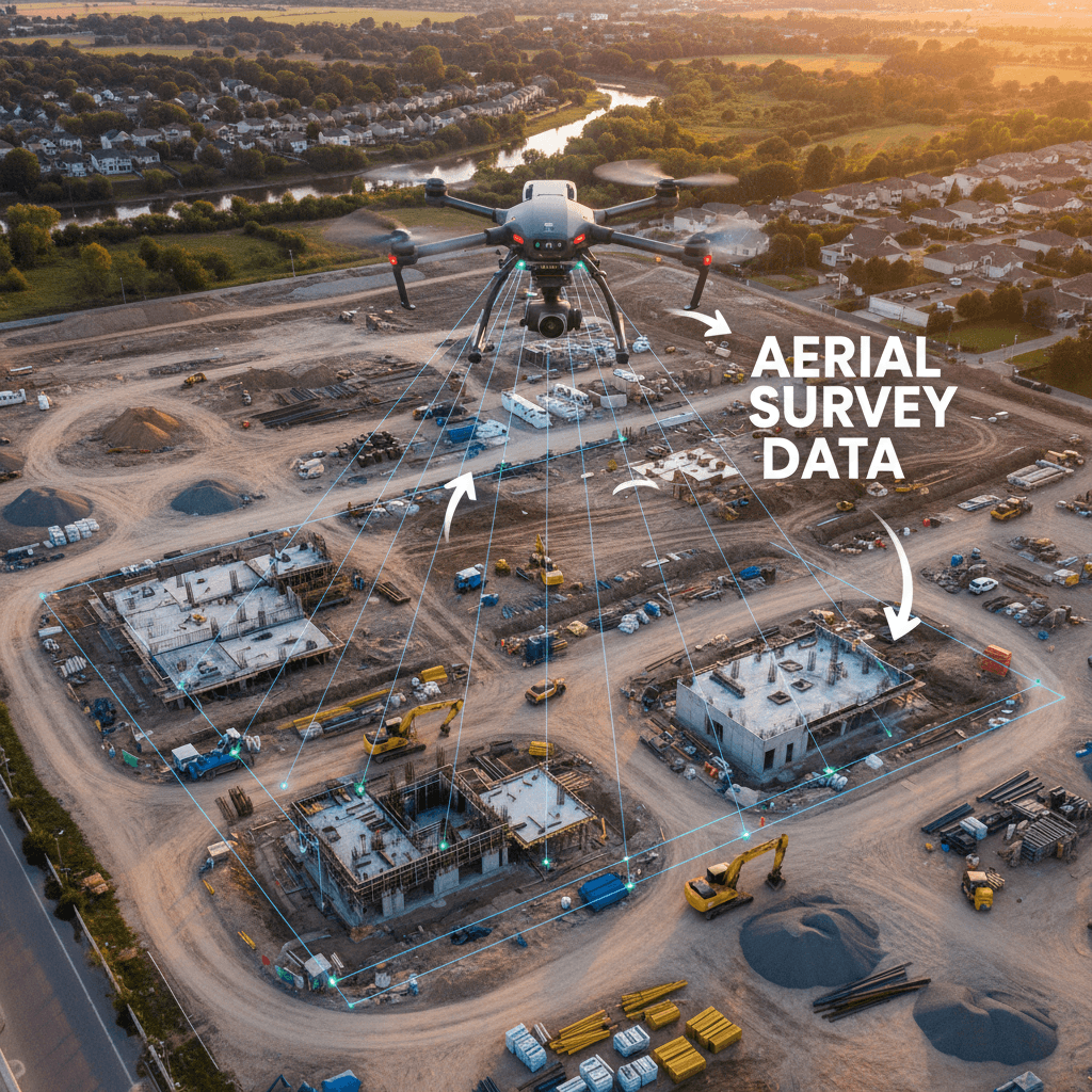
How RTK Drone Surveying Cuts Delivery Time from Weeks to Hours: A Practical Comparison for Saudi Engineers and Contractors
This article compares traditional surveying methods with drone technology in Saudi Arabia. Discover how RTK technology reduces weeks of fieldwork to mere hours with extreme precision and high quality.
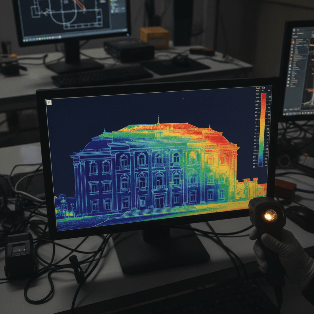
Thermal Drone Inspection for Riyadh Home Buyers: Detect Insulation Flaws and Reduce AC Costs
Discover how thermal drone technology identifies hidden insulation gaps and moisture leaks during the home buying process. Learn how to optimize AC efficiency and detect structural defects.
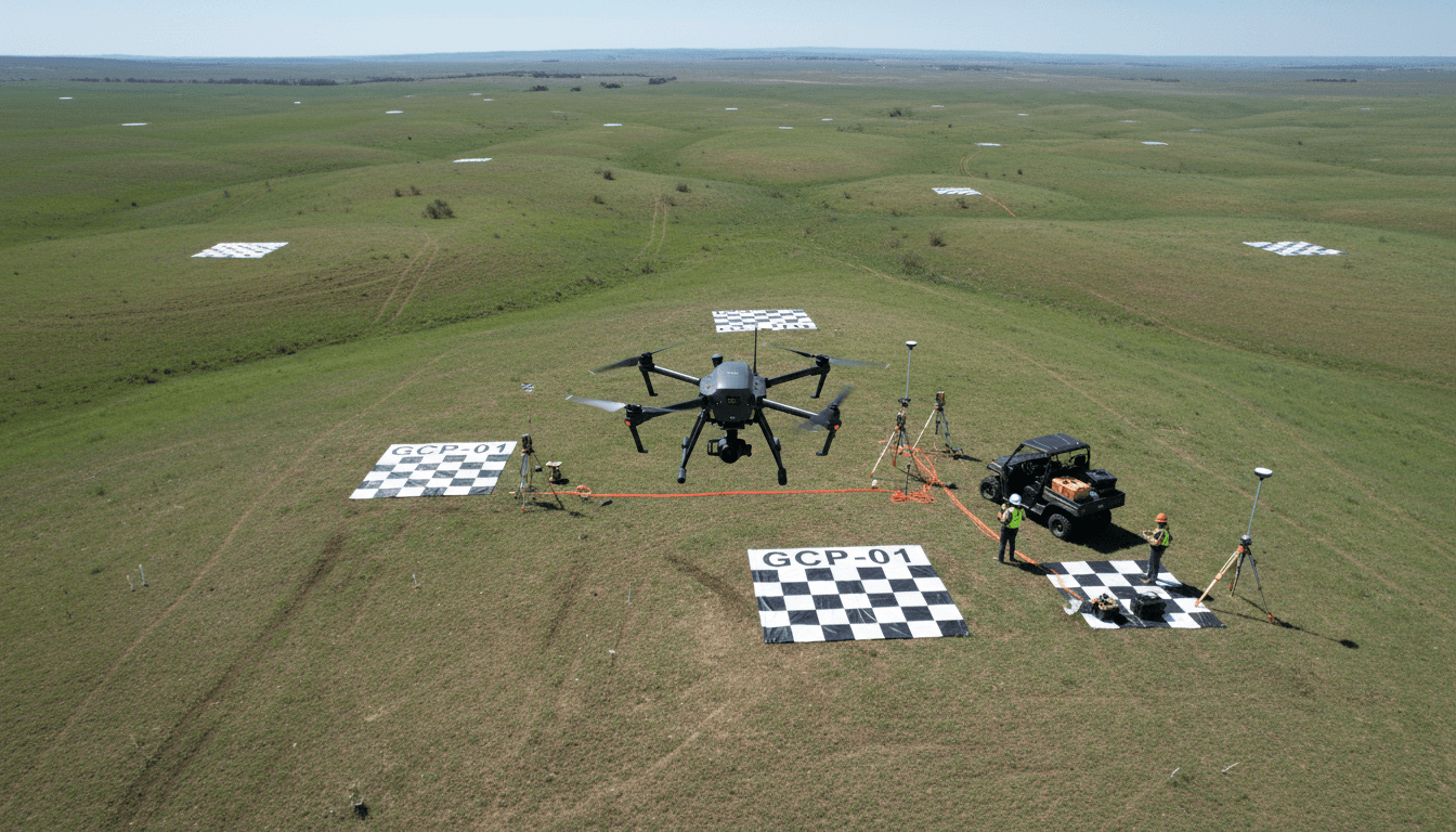
Ready to Transform Your Project? Start with Our Aerial Services Today
From high-precision aerial surveys to live broadcasting and infrastructure assessment, we provide integrated geospatial solutions that drive project success.