Published May 2026 | Updated regularly to reflect GACA regulatory changes
Introduction
Drone services in Saudi Arabia have entered a period of explosive growth, driven by Vision 2030, an active real estate market in Riyadh, and increasing demand from individuals, enterprises, and government entities. Whether you're an international contractor working on NEOM, a Saudi engineering firm managing a Diriyah Gate project, a real estate agent in Riyadh listing premium properties, or a private citizen documenting a major event, professional drone services in Riyadh are now an essential part of how visual and engineering data is captured.
This comprehensive guide covers everything you need to know about drone services in Saudi Arabia — regulatory framework, service categories, sector-specific solutions, technical standards, and how to evaluate a GACA-licensed drone operator.
Contents
Why Drone Services Are Booming in Saudi Arabia
GACA Regulations You Must Know
Available Drone Service Categories
Solutions by Audience Segment
Required Technical Standards
How to Choose a Reliable Drone Company
Frequently Asked Questions
Why Drone Services Are Booming in Saudi Arabia
Commercial drone services in Saudi Arabia have become mission-critical infrastructure for construction, energy, media, real estate, and government sectors. Key drivers:
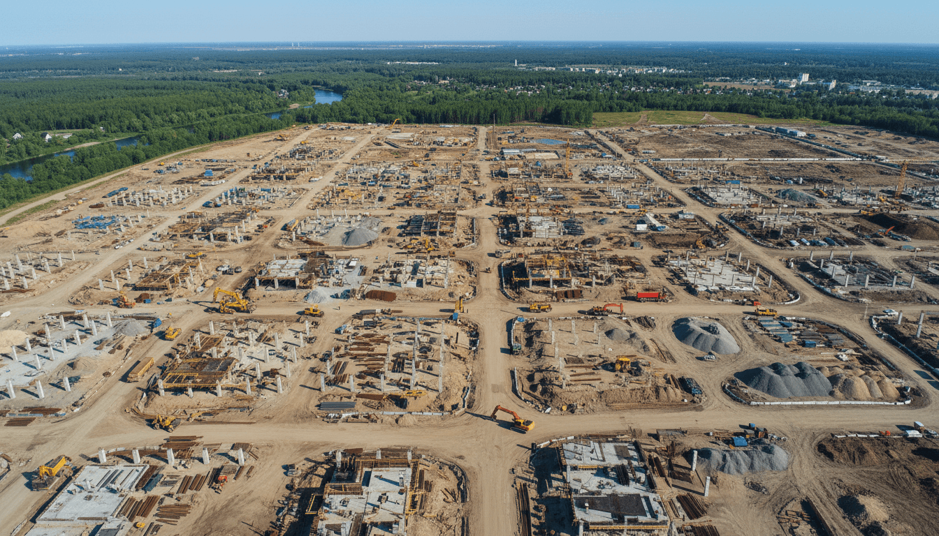
Vision 2030 mega-projects. Saudi Arabia's giga-projects — NEOM, Diriyah Gate, Qiddiya, King Salman Energy Park, Red Sea Project, The Line, and New Murabba district — require continuous monitoring, surveying, and visual documentation at scales where traditional methods cannot keep pace.
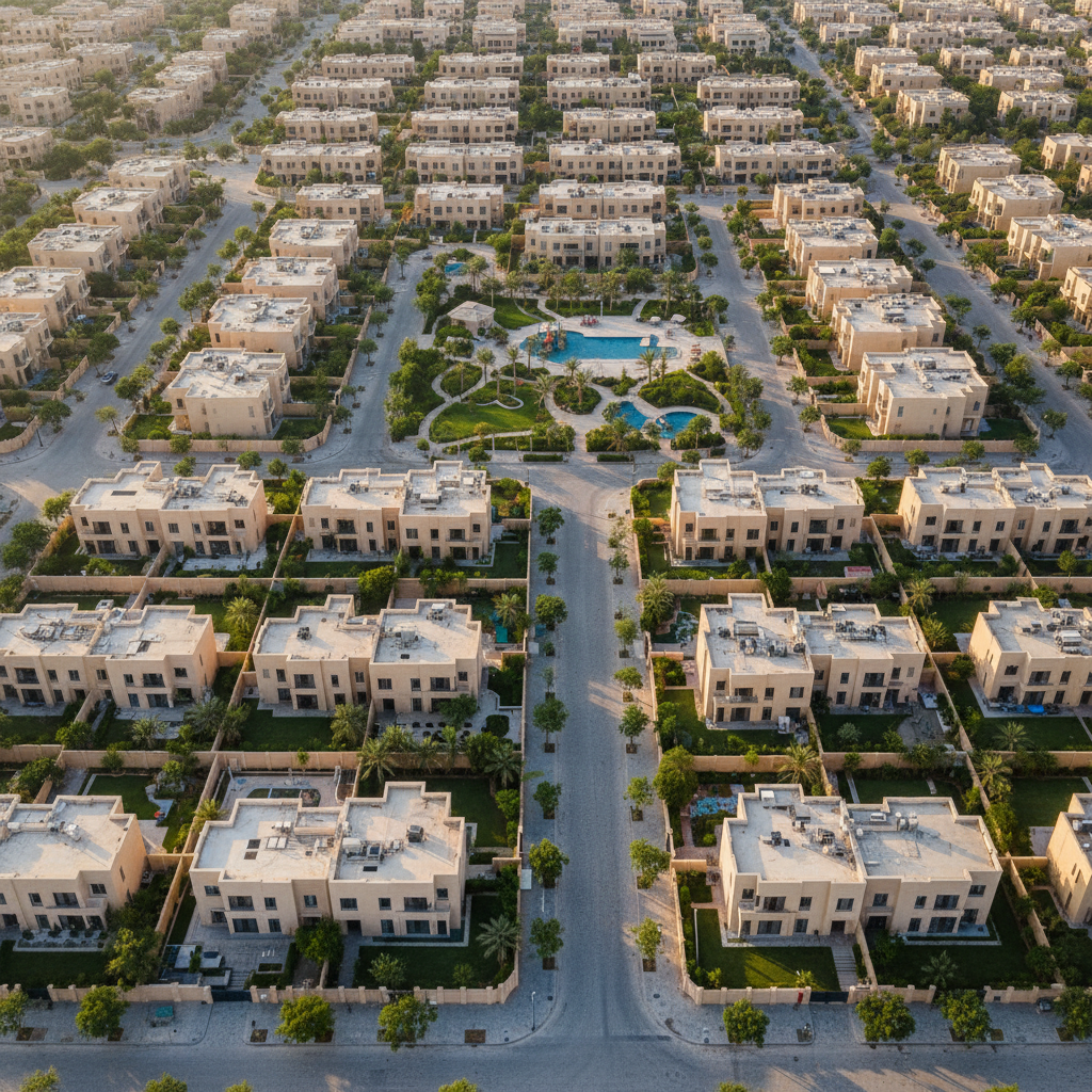
Active Riyadh real estate market. Demand for aerial photography in Riyadh has surged with the growth of premium residential developments, mixed-use commercial properties, and investment land transactions. Professional drone photography for real estate Saudi Arabia is now standard for any serious listing.
Energy and infrastructure expansion. Solar farms, electrical transmission networks, oil and gas pipelines, and telecommunications infrastructure require regular thermal drone inspection to identify defects before they cause downtime.
National events and entertainment. Riyadh Season, Saudi National Day, MDLBEAST Soundstorm, Esports World Cup, and major conferences demand live aerial broadcasting with broadcast-grade production values.
Cost and time efficiency. Drone-based surveys complete projects 70-90% faster than traditional ground methods, with denser, more accurate data and lower deployment cost.
GACA Regulations You Must Know
The General Authority of Civil Aviation (GACA) is the sole regulatory body governing commercial drone operations in Saudi Arabia. Core requirements:
Remote Pilot Certificate (RPC): mandatory for any commercial drone operation. Operators must complete GACA-approved training and pass examination.
Drone registration: all commercial-use drones must be registered with GACA with unique registration numbers.
Operational permits: required for operations near airports (within 5 km), military installations, royal residences, government buildings, and crowded venues.
Altitude limits: maximum 120 meters above ground level (AGL) for standard operations; higher altitudes require special permits.
Visual line of sight (VLOS): standard operations must maintain visual contact with the drone; BVLOS (beyond visual line of sight) requires additional certification.
Liability insurance: mandatory for all commercial UAS operations.
⚠️ Important: Operating commercial drones without proper licensing in Saudi Arabia carries severe penalties including equipment seizure and fines. Always verify your drone service provider in Saudi Arabia holds valid GACA RPC certification.
Available Drone Service Categories
🛰️ RTK Geodetic Drone Surveying
RTK drone surveying in Saudi Arabia with ±5 cm horizontal accuracy via the national KSA-CORS NRTK network. Standard deliverables:
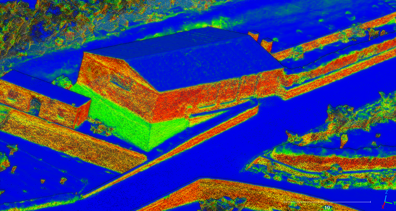
Point clouds (LAS/LAZ) ASPRS-classified
Orthomosaics (GeoTIFF) at GSD down to 2 cm/pixel
Digital elevation models (DEM, DTM, DSM)
CAD drawings (DXF/DWG) compatible with Autodesk Civil 3D, Bentley OpenRoads, Trimble Business Center, ESRI ArcGIS
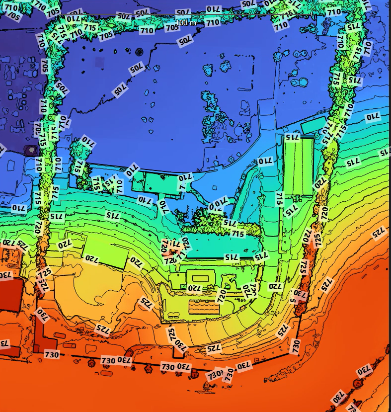
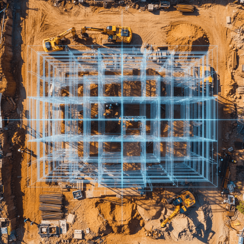
Applications: earthworks volumetrics, site grading verification, infrastructure as-built surveys, topographic mapping for Vision 2030 mega-projects, cadastral surveys.
🔥 Thermal Drone Inspection
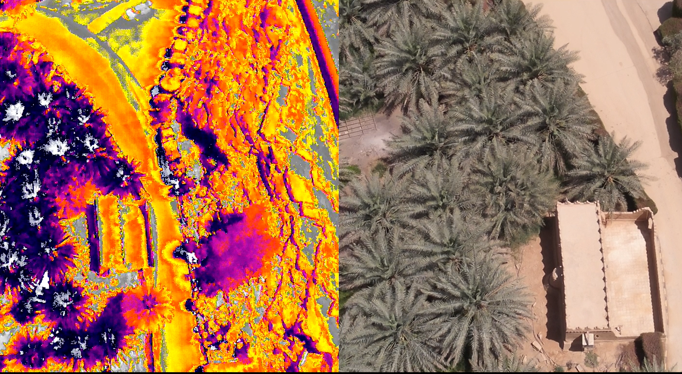
Thermal inspection drone services in Saudi Arabia for industrial and energy infrastructure:
Solar farms (defective cell detection, hot-spot analysis)
Electrical transmission lines (hot-spot identification, insulator analysis)
Oil & gas pipelines (leak detection, integrity monitoring)
Building envelopes (insulation quality, moisture intrusion)
Industrial facilities (predictive maintenance for Saudi Aramco-adjacent, SEC infrastructure)
Reports include radiometric JPEG files compatible with FLIR Tools and DJI Thermal Analysis Tool.
📸 Aerial Cinematography & Photography
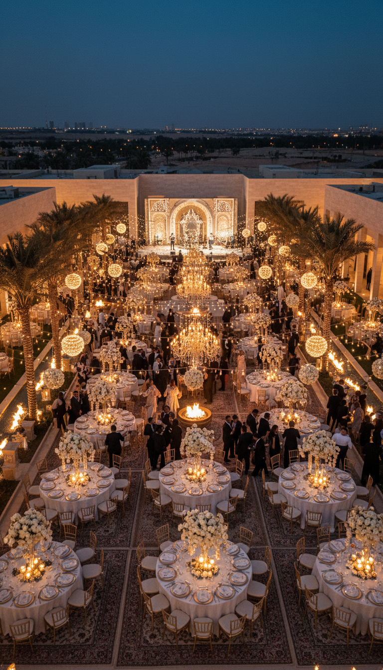
6K aerial cinematography in Saudi Arabia for commercials, documentaries, real estate marketing, tourism content, and brand campaigns. Production standards aligned with NEOM destination content, Saudi Tourism Authority campaigns, Diriyah Gate visualization, and Riyadh Season marketing.
📡 Live Aerial Broadcasting
Live aerial broadcasting in Saudi Arabia for sports events, conferences, major concerts, national celebrations, and Riyadh Season events. Integration with professional broadcast workflows (SDI, HDMI, NDI). Suitable for live TV coverage and digital streaming platforms.
🏗️ Construction Progress Monitoring
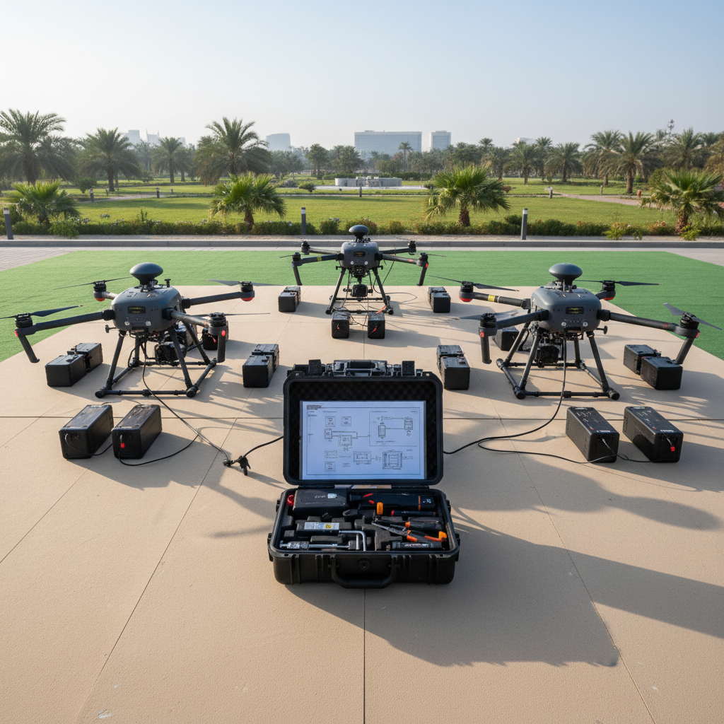
Drone-based construction monitoring with recurring weekly or monthly flights, comparative visual and quantitative reports, and outputs compatible with BIM 360, Procore, Trimble Connect, and Aconex project management platforms.
🏠 Real Estate Aerial Photography
Drone photography for real estate in Riyadh and across Saudi Arabia — villas, residential compounds, investment land, commercial properties, hospitality projects. Deliverables optimized for Bayut, Aqar, and other property platforms.
Solutions by Audience Segment
For Individuals
Wedding and event aerial coverage
Personal real estate listings (selling your home or land)
Private property documentation (farms, villas, plots)
Family event coverage (large gatherings, celebrations)
Personal creative projects (travel videos, hobbyist cinematography)
For Small and Medium Enterprises (SMEs)
Real estate agencies: professional listing imagery at scale
Construction contractors: project progress monitoring, earthworks volumetrics
Engineering offices: high-precision surveying for design projects
Marketing and advertising agencies: cinematic visual content for campaigns
Event management companies: aerial coverage of conferences and exhibitions
Tourism operators: destination marketing content
For Enterprise and Private Sector
Major construction firms: integrated surveying and monitoring for Vision 2030 mega-projects
Energy companies: routine thermal inspection of solar plants and transmission infrastructure
Telecommunications operators: tower inspection and network installation surveys
Oil and gas operators: pipeline integrity monitoring, facility inspection
Media production houses: high-end cinematography for major campaigns and productions
Insurance companies: post-incident damage assessment via aerial documentation
For Government and Public Sector
Ministries: surveying and monitoring for national infrastructure projects
Municipalities: urban planning, violation monitoring, development tracking
Development authorities: project execution documentation and oversight
Heritage and cultural authorities: documentation of historic sites (Diriyah, AlUla, Hejaz Railway)
Environmental agencies: environmental monitoring, conservation documentation
For International Clients
Foreign contractors on KSA projects: local partnership for regulatory navigation
International media production crews: local drone operator partnership for Saudi filming
Global engineering consultancies: Vision 2030 project support
International real estate developers: project monitoring and visual documentation
Tourism and hospitality brands: destination content production in Saudi Arabia
Required Technical Standards
When evaluating any drone service company in Saudi Arabia, verify these benchmarks:
Standard | Minimum Requirement |
|---|---|
GACA RPC certification | Verifiable license number |
GACA drone registration | Required for each commercial aircraft |
RTK horizontal accuracy | ±5 cm |
RTK vertical accuracy | ±10 cm |
KSA-CORS NRTK subscription | Active and current |
Point cloud density | ≥ 200 points/m² |
Orthomosaic GSD | ≤ 2 cm/pixel |
Liability insurance | KSA-compliant policy |
Deliverable formats | LAS/LAZ, DXF, GeoTIFF, OBJ, MP4 |
Bilingual communication | Arabic + English |
How to Choose a Reliable Drone Operator in Saudi Arabia
Use this checklist when evaluating any drone services provider in Riyadh or across KSA:
✅ Verify GACA RPC license — request the certificate number for direct verification with GACA.
✅ Request Commercial Registration (CR) — drone services must be explicitly within their CR business activity scope.
✅ Request sample deliverables — in the exact format you need (point cloud, video, maps).
✅ Ask about fleet size and equipment — number of drones, types, payload capabilities, backup availability.
✅ Request project references — particularly in your sector or similar use cases.
✅ Verify insurance coverage — current liability policy compliant with KSA law.
✅ Request clear timeline commitments — delivery dates and milestones.
✅ Get itemized quote — flight hours, data processing time, final deliverables.
✅ Confirm bilingual capability — Arabic + English communication for both technical teams and management.
Frequently Asked Questions
How much do drone services cost in Saudi Arabia?
Pricing for drone services in Saudi Arabia varies by service type and project scope
Request a tailored quote based on your project specifications.
Do drone operations require a license in Saudi Arabia?
Yes. Every commercial drone operation in Saudi Arabia requires:
GACA Remote Pilot Certificate (RPC)
Drone registration with GACA
Liability insurance
Special permits for operations in restricted areas
Operating commercial drones without proper licensing is a violation of Saudi aviation law.
Can foreign companies use drones in Saudi Arabia?
Yes, but with substantial regulatory friction. Foreign drone operators must register drones with GACA, obtain Saudi RPC or temporary authorization, secure KSA-compliant liability insurance, and navigate airspace permits — a process typically taking 4-8 weeks. Partnering with a GACA-licensed local drone operator in Saudi Arabia is faster, cheaper, and avoids regulatory risk for international projects.
What is GACA RPC certification?
The GACA Remote Pilot Certificate (RPC) is Saudi Arabia's official commercial drone operator license, issued by the General Authority of Civil Aviation. Requirements include GACA-approved training completion, written examination, and ongoing compliance. All commercial drone services in Saudi Arabia must be performed by RPC-certified pilots.
How accurate is drone surveying compared to traditional methods?
Drone surveying with RTK technology delivers ±5 cm horizontal and ±10 cm vertical accuracy when integrated with KSA-CORS NRTK corrections. This matches or exceeds traditional GPS-based ground surveying accuracy for most construction and infrastructure applications, while completing surveys 5-10× faster and capturing 50,000+ data points per hectare versus ~50 in traditional methods.
How long does an aerial drone survey take?
For a typical 50,000 m² site in Saudi Arabia, fieldwork requires 1 operational day. Data processing and final deliverable handoff takes 2-5 business days. Larger sites scale linearly. Rush delivery is available for time-critical projects.
Do you serve NEOM, Diriyah, and Vision 2030 mega-projects?
Yes. We serve all regions of Saudi Arabia including Vision 2030 mega-projects — NEOM, Diriyah Gate, Qiddiya, King Salman Energy Park, Red Sea Project, The Line, and New Murabba district. Remote-site deployments require advance scheduling but are routine operations.
What is KSA-CORS NRTK?
KSA-CORS (Saudi Arabia Continuously Operating Reference Stations) is the national network of GPS reference stations providing real-time positioning corrections across the Kingdom. NRTK (Network Real-Time Kinematic) integration enables drone surveys to achieve centimeter-level accuracy by referencing the network's corrections in real time. GACA-licensed drone operators with active KSA-CORS subscriptions can deliver survey-grade data anywhere within network coverage.
What deliverable formats do you provide?
Standard deliverables include:
Point clouds: LAS, LAZ (ASPRS-classified)
CAD drawings: DXF, DWG
Imagery: GeoTIFF orthomosaics, JPEG, TIFF
3D models: OBJ, FBX, GLB, IFC for BIM workflows
Reports: PDF technical reports
Video: MP4, MOV (up to 6K resolution)
Custom formats: available on request
Are your services available outside Riyadh?
Yes. We provide drone services across Saudi Arabia — Riyadh, Jeddah, Dammam, Khobar, Mecca, Medina, Taif, NEOM, Abha, and other regions. For remote locations, we arrange advance scheduling and deploy complete field teams.
What's the difference between drone services for individuals vs enterprises vs government?
For individuals: simplified services and competitive pricing for personal projects like real estate photography, weddings, and private events.
For enterprises: integrated solutions with advanced technical specifications, project management platform integration, scheduled deliverables, and dedicated teams.
For government entities: services compliant with public sector standards, security and confidentiality requirements, government contracting eligibility, and quality certification availability.
Start Your Project With Us
Majed Aerial Solutions — GACA-licensed commercial drone operator in Saudi Arabia since May 2023. Fleet of 8 registered drones, 12+ years operational experience, active KSA-CORS NRTK subscription, headquartered in Riyadh, serving all regions of the Kingdom including Vision 2030 mega-projects.
Contact us for a free consultation:
📞 Phone: +966 55 678 1524 💬 WhatsApp: +966 55 997 7170 🌐 Website: https://majedsolutions.co 📧 Email: majedalharbie@gmail.com 📍 Headquarters: 2353 Ali bin Mohammed Al-Batalyusi, Tuwaiq District, Riyadh 14927, Saudi Arabia
Our core services: