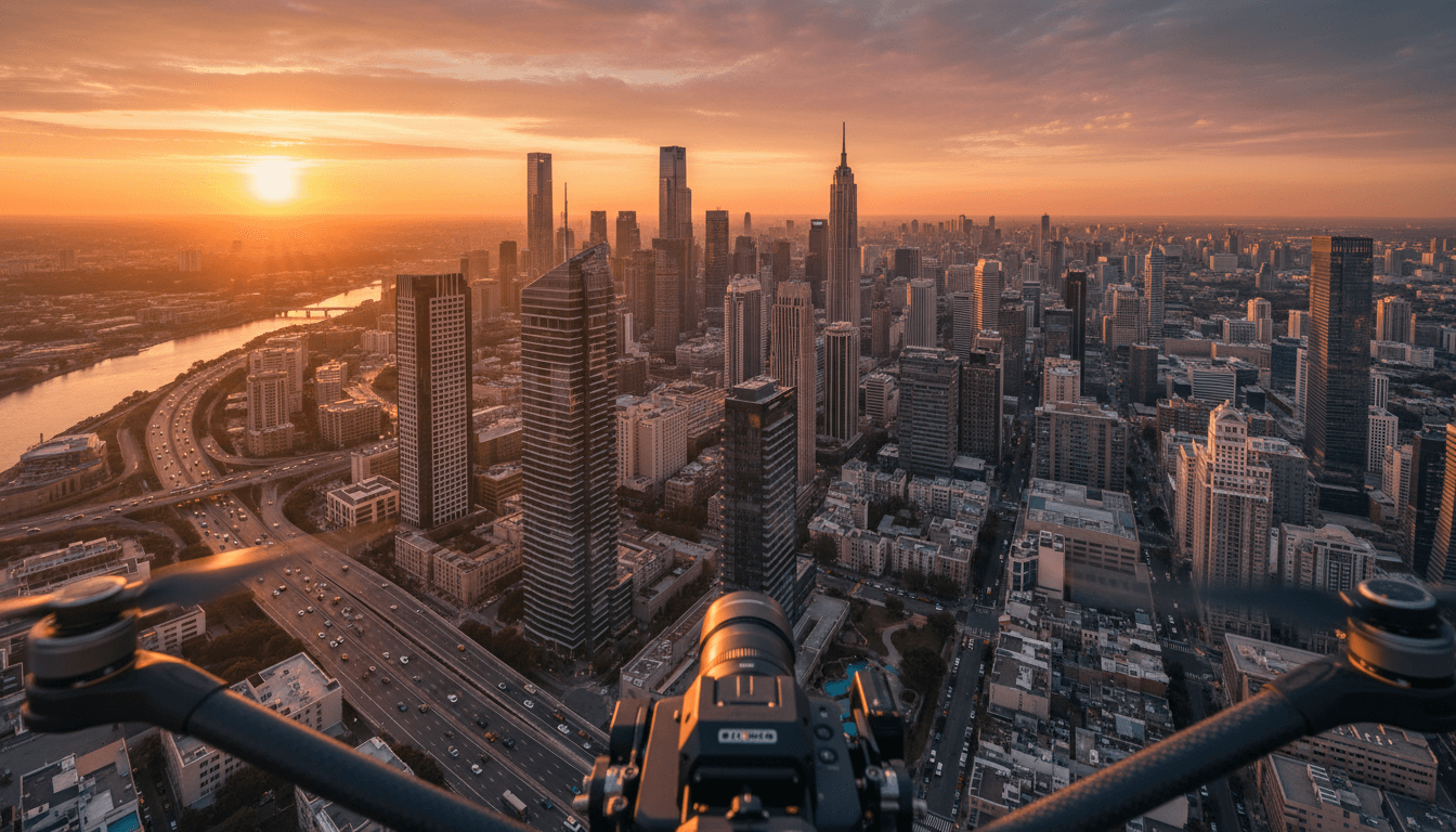
Aerial photography services Saudi Arabia provide professional drone cinematography and high resolution imagery tailored for sectors such as real estate, construction, and large scale events. These specialized providers deliver cinematic videos, live aerial broadcasts, and industrial site monitoring; they also ensure all projects comply with local permit regulations for safe and legal operations.
Capturing the immense scale of a Vision 2030 project or a high stakes event often feels impossible from the ground, where traditional photography fails to convey the true prestige of your development. In Saudi Arabia’s rapidly evolving landscape, professional imagery is a strategic necessity that requires more than just a drone; it demands technical mastery and absolute regulatory compliance. This comprehensive guide examines how professional aerial solutions transform your visual narrative through cinematic 6K videography, live broadcasting, and industry specific applications. You will learn about the critical role of GACA and GEOSA certifications in ensuring project safety, alongside the technical excellence required to deliver broadcast quality results. Whether you are managing a massive construction site or a luxury product launch, these insights will help you navigate the complexities of aerial imaging in the Kingdom with confidence.
The Evolution of Aerial Photography Services in Saudi Arabia
The landscape of aerial photography services Saudi Arabia has undergone a radical transformation over the last decade. What began as a niche hobbyist pursuit for basic 1080p visuals has evolved into a sophisticated geospatial and cinematic industry, now serving as a cornerstone for Saudi Arabia’s Vision 2030 giga-projects. As the Kingdom constructs its future, the demand for professional drone photography has shifted from simple aesthetics to high-resolution 6K cinematic footage and real-time live drone broadcasting for global events.
In this high-stakes environment, the difference between a consumer-grade operator and a professional partner is defined by technical rigor and regulatory adherence. Majed Aerial Solutions, a Riyadh-based operation, addresses this gap through a specialized eight-drone fleet and dual-licensing from the General Authority of Civil Aviation (GACA) and the General Authority for Survey and Geospatial Information (GEOSA).
Modern projects in Riyadh and across the Province require more than just an aircraft; they necessitate GAMR media authorization and hardware capable of delivering broadcast-grade data. By providing comprehensive drone solutions that bridge the gap between creative media and technical surveying, we ensure that every flight meets the stringent legal and quality standards mandated for the Kingdom's most ambitious infrastructure and real estate developments.
Cinematic Drone Videography and 6K Photography
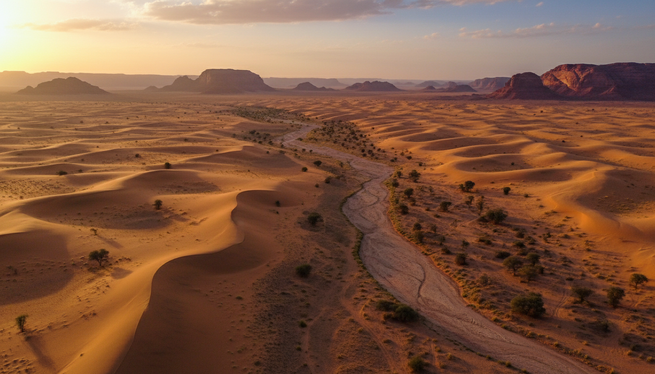
Meeting these quality standards starts with the technical specifications of the imaging sensors themselves. In the context of the Kingdom’s mega-projects, 4K resolution has become the baseline, while 6K has emerged as the requirement for professional documentation. This leap in pixel density is not merely about clarity; it provides the essential metadata needed for large-scale displays at international summits or tourism pavilions. A 6K sensor allows editors to crop, stabilize, and reframe shots without losing the crispness required for 8K or 4K delivery, ensuring the final asset remains future-proof.
Professional cinematic storytelling differs fundamentally from standard drone operation. While a prosumer drone might capture a functional view of a site, professional-grade platforms utilize large-format sensors that offer superior dynamic range. This is particularly critical in the Saudi climate, where the intense sun creates harsh highlights and deep shadows. By recording in high-bitrate formats like Apple ProRes 422 HQ or CinemaDNG RAW, we provide post-production teams with the latitude to color grade footage effectively. These formats preserve the fine details of architectural textures and landscape gradients that compressed H.264 files would otherwise smudge or lose.
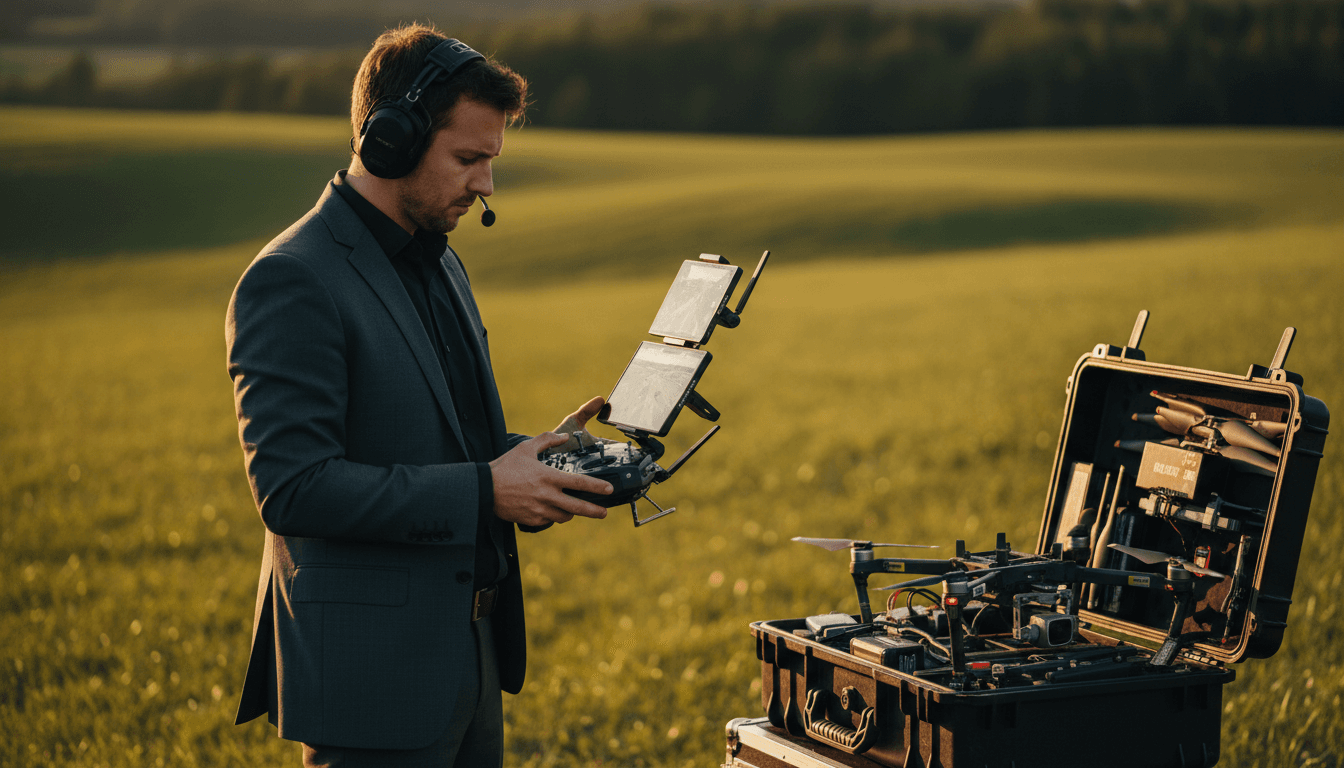
Technical excellence also manifests in the movement of the aircraft. Achieving a cinematic look requires more than just height; it demands sophisticated flight paths that create parallax and depth. High-tier corporate needs in Riyadh require the use of heavy-lift or specialized cinematic drones that maintain stability in varying wind conditions, ensuring that every frame is usable. By providing these comprehensive drone solutions, we bridge the gap between simple aerial views and the high-fidelity visual narratives expected by global investors and government stakeholders.
Live Aerial Broadcasting for Events and Launches
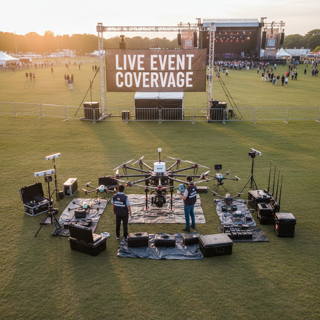
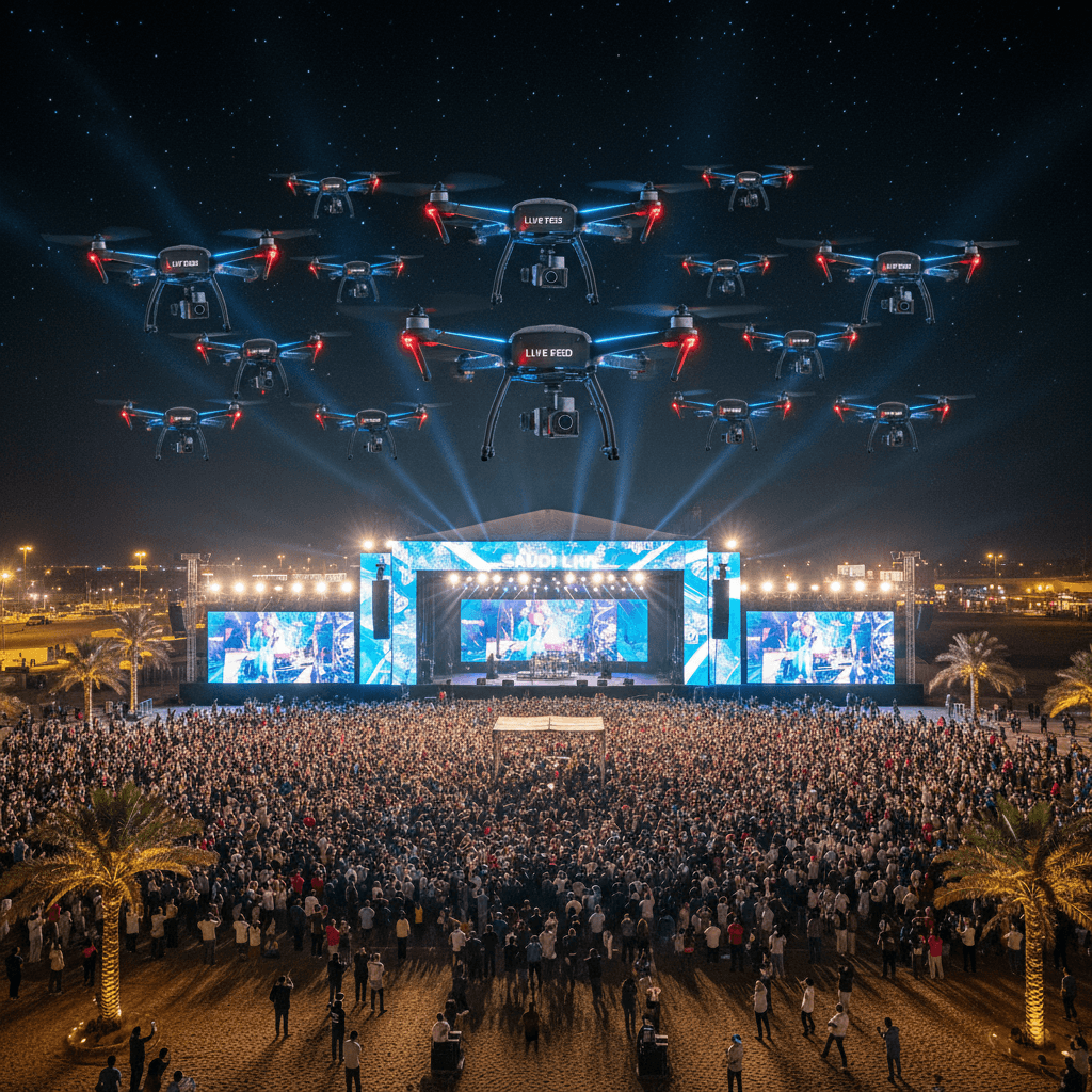
Capturing high-resolution imagery for post-production is essential for documentation, but delivering a real-time perspective for a live audience requires a different tier of technical infrastructure. Live drone broadcasting has become a staple for high-profile events across the Kingdom, ranging from the massive scale of Riyadh Season to formal government inaugurations and mega-project groundbreakings. This process involves a low-latency video downlink that transmits the aerial feed directly to an Outside Broadcast (OB) van or a master control room via professional SDI or HDMI interfaces.
In the context of providing aerial photography services Saudi Arabia, the technical setup must be paired with specific legal clearance. While GACA and GEOSA handle flight and geospatial data, the General Authority for Media Regulation (GAMR) provides the media authorization necessary for broadcasting content to the public or digital screens. Without this GAMR authorization, an operator cannot legally transmit live visuals for media use. Our flight teams integrate with event production crews to provide a bird’s-eye view for groundbreakings where real-time progress is displayed on massive LED screens for dignitaries and international press. This capability ensures that the scale of Saudi Arabia’s rapid development is shared instantaneously with the world, maintaining signal stability even in RF-congested urban environments.
Sector-Specific Applications for Aerial Imaging
Moving from the immediate engagement of live drone broadcasting to long-term project lifecycles, aerial imaging serves as a critical repository of actionable data. In the Kingdom's rapidly evolving landscape, aerial photography services Saudi Arabia provide more than visual marketing; they offer precise documentation for high-stakes decision-making across diverse industries.
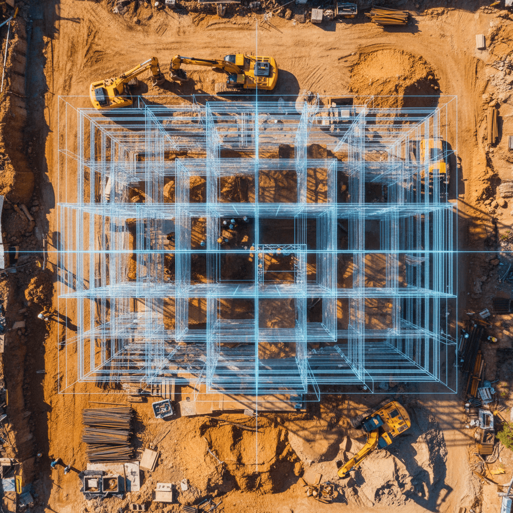
### Construction and Progress Monitoring For large-scale construction in Riyadh, aerial imaging is a prerequisite for modern project management. Beyond simple snapshots, we provide systematic progress monitoring that creates a chronological "as-built" visual record. This documentation is vital for stakeholders to verify that site work aligns with architectural plans and BIM (Building Information Modeling) data. By capturing high-resolution overhead views at regular intervals, project managers can identify logistical bottlenecks, verify material stockpiles, and ensure safety compliance without sending personnel into hazardous zones.
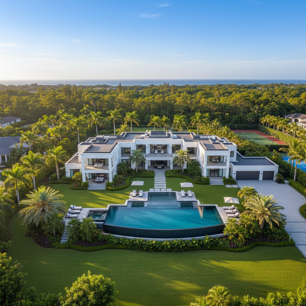
### Real Estate and Luxury Showcases The Riyadh real estate market, particularly for high-end residential and commercial developments, demands a level of visual sophistication that ground-level photography cannot achieve. Professional drone photography is used to create immersive luxury villa showcases and virtual tours. These assets allow potential investors to experience the scale of a property, its relationship to the surrounding neighborhood, and its architectural nuances from angles that highlight the premium nature of the asset. This specialized imaging transforms a listing into a cinematic experience, essential for the Kingdom's growing luxury sector.
### Infrastructure and Asset Inspection Infrastructure projects, such as highways, bridges, and power lines, benefit from the transition from aesthetics to actionable visual data. High-resolution aerial views allow engineers to conduct detailed inspections of hard-to-reach structural elements. By utilizing our comprehensive drone solutions, authorities can spot surface cracks, corrosion, or drainage issues on a bridge deck or highway overpass with millimeter-level clarity. This proactive approach to maintenance reduces the need for expensive scaffolding or lane closures, ensuring that the Kingdom’s vital transport networks remain operational and safe through data-driven oversight.
Navigating GACA and GEOSA Regulations in Saudi Arabia
Operating drones for commercial purposes in the Kingdom is governed by a tripartite regulatory framework designed to ensure airspace safety and data security. A common question regarding drone legality in Saudi Arabia is whether anyone can fly for business. The answer is no; only licensed entities can legally provide aerial photography services Saudi Arabia. Compliance begins with the General Authority of Civil Aviation (GACA), which certifies pilots and registers aircraft. This certification is the baseline requirement for any flight, ensuring the operator adheres to strict safety protocols and flight path regulations.
Beyond flight safety, the General Authority for Survey and Geospatial Information (GEOSA) regulates the collection and processing of any geospatial data. When a project involves professional drone photography for mapping, topographic surveys, or 3D modeling, GEOSA licensing is mandatory. Additionally, the General Authority for Media Regulation (GAMR) oversees the capture and dissemination of visual content. This is particularly vital for live drone broadcasting at public events or mega-project launches, where media authorization is a legal prerequisite for transmission.
Authority | Responsibility | Requirement Type |
|---|---|---|
GACA | Airspace safety and pilot licensing | Mandatory for all flights |
GEOSA | Geospatial data and mapping accuracy | Mandatory for survey and data collection |
GAMR | Media production and broadcasting | Mandatory for photography and live feeds |
Hiring an unlicensed operator presents significant legal and operational risks to the client. Authorities can halt unauthorized flights immediately, leading to project delays, equipment confiscation, and substantial fines for both the operator and the hiring party. By utilizing comprehensive drone solutions from a dual-licensed provider like Majed Aerial Solutions (CR 7052338246), organizations ensure that every byte of data and every second of footage is captured in full alignment with Saudi law.
Technical Excellence: Professional Fleet and Accuracy
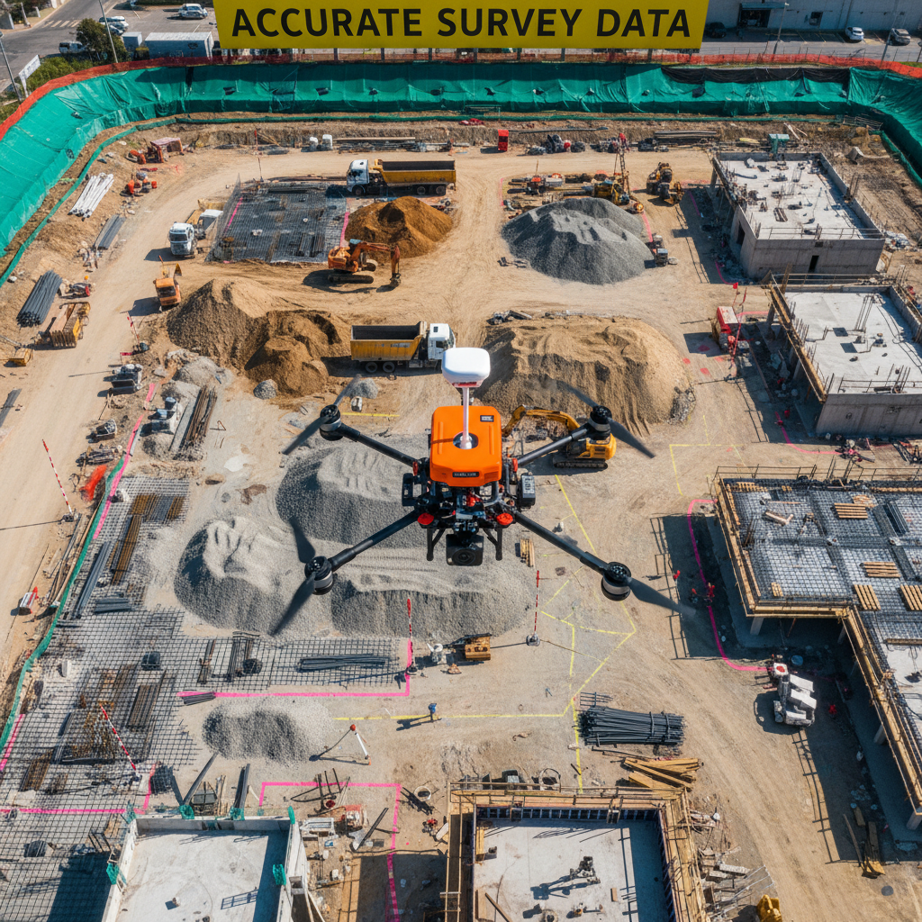
The reliability of professional aerial photography services Saudi Arabia rests on the caliber of the equipment and the precision of the flight data. Majed Aerial Solutions operates a diverse fleet of eight professional drones, each configured for specific industrial or creative outcomes. This fleet bridges the gap between high-fidelity media and rigorous engineering data by utilizing two distinct tiers of technology: cinematic platforms and Real-Time Kinematic (RTK) surveying units.
While our cinematic drones capture 6K imagery in RAW formats for marketing, our RTK-enabled aircraft focus on geospatial integrity. RTK technology allows for centimeter-level positioning during flight, which is further refined through Ground Control Point (GCP) validation. By placing physical markers on the terrain before takeoff, we ensure that even standard professional drone photography can be perfectly aligned with topographic mapping data if a project evolves from a visual showcase into an engineering requirement.
This dual-purpose capability is essential for comprehensive drone solutions in the Riyadh Province. It allows developers to use the same flight mission for both a board-level presentation and an as-built verification. By maintaining this level of technical excellence, we provide clients with visual assets that are not only aesthetically superior but also spatially accurate to within ±1 to 3 cm, meeting the highest standards of the Saudi construction and energy sectors.
Cost Factors for Aerial Photography Services in KSA
Determining the investment for drone video involves analyzing technical and logistical variables rather than a fixed commodity rate. When securing aerial photography services Saudi Arabia, the primary price drivers include geographic location and permit complexity. Operating within Riyadh’s urban core requires more intensive GACA and GAMR coordination than remote sites. Resolution requirements also dictate the resource scope; 6K ProRes acquisition for professional drone photography demands more robust hardware and data handling than standard 4K monitoring. Furthermore, live drone broadcasting necessitates specialized transmission infrastructure. By selecting comprehensive drone solutions, clients ensure their budget covers the necessary dual-licensing and precision required for high-tier projects.
Cost Variable | Impact on Budget and Scope |
|---|---|
Location | Urban Riyadh requires more complex permit coordination than rural desert areas. |
Resolution | 6K RAW workflows require significantly more data management than 4K H.264. |
Compliance | Specialized GAMR media authorizations for live events or public broadcasts. |
Post-Production | Standard site updates vs. cinematic color grading and 3D visual integration. |
Aerial photography transforms how we perceive the landscape of Saudi Arabia, offering perspectives that traditional cameras simply cannot reach. Whether you are documenting a large scale construction project or capturing the energy of a live event, the right technology makes all the difference. If you are looking for expert guidance to elevate your visual storytelling, Majed Aerial Solutions is here to assist. Choosing professional التصوير الجوي (Aerial Photography) ensures that every frame meets the highest standards of quality and precision for your next major project.