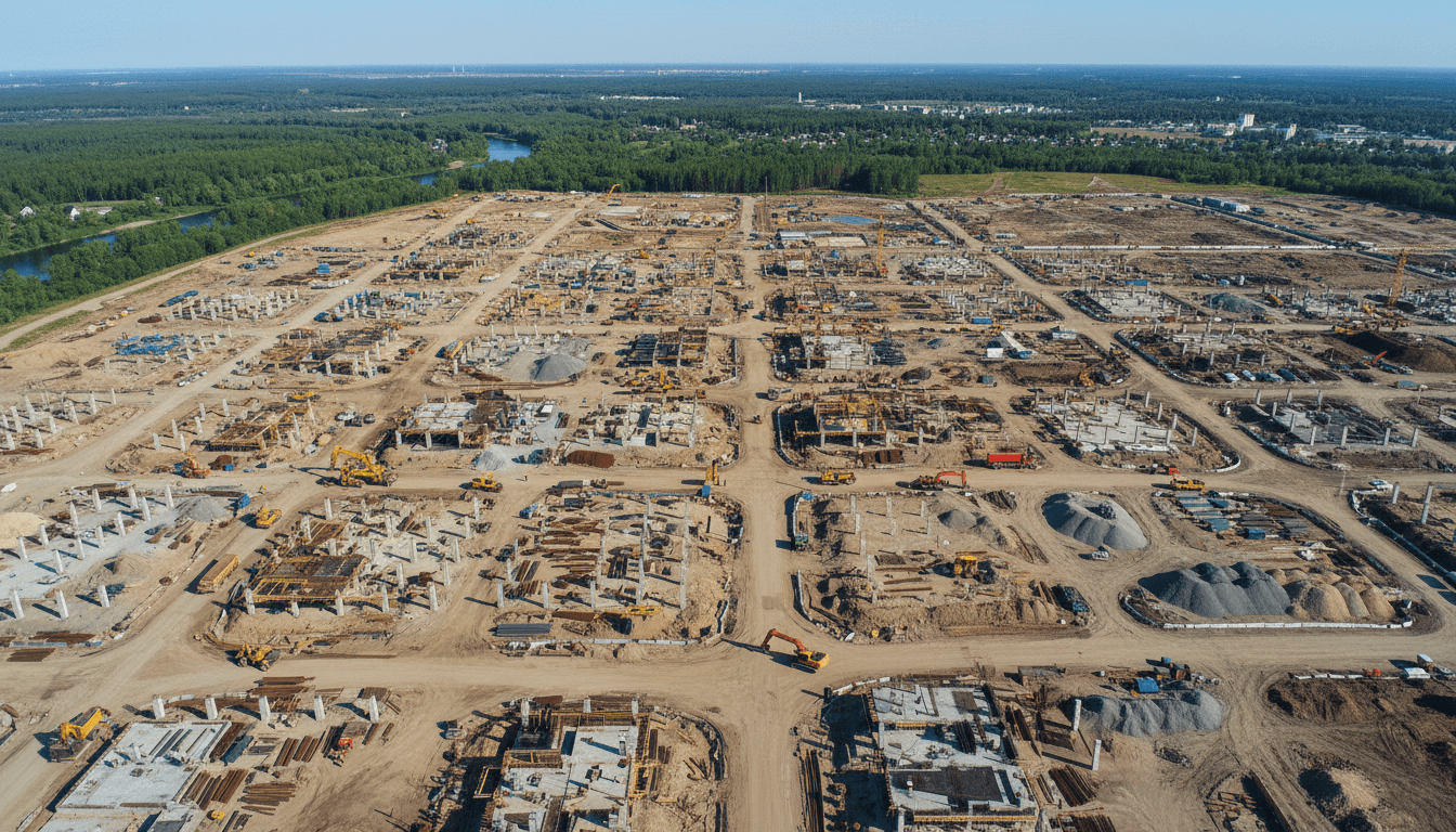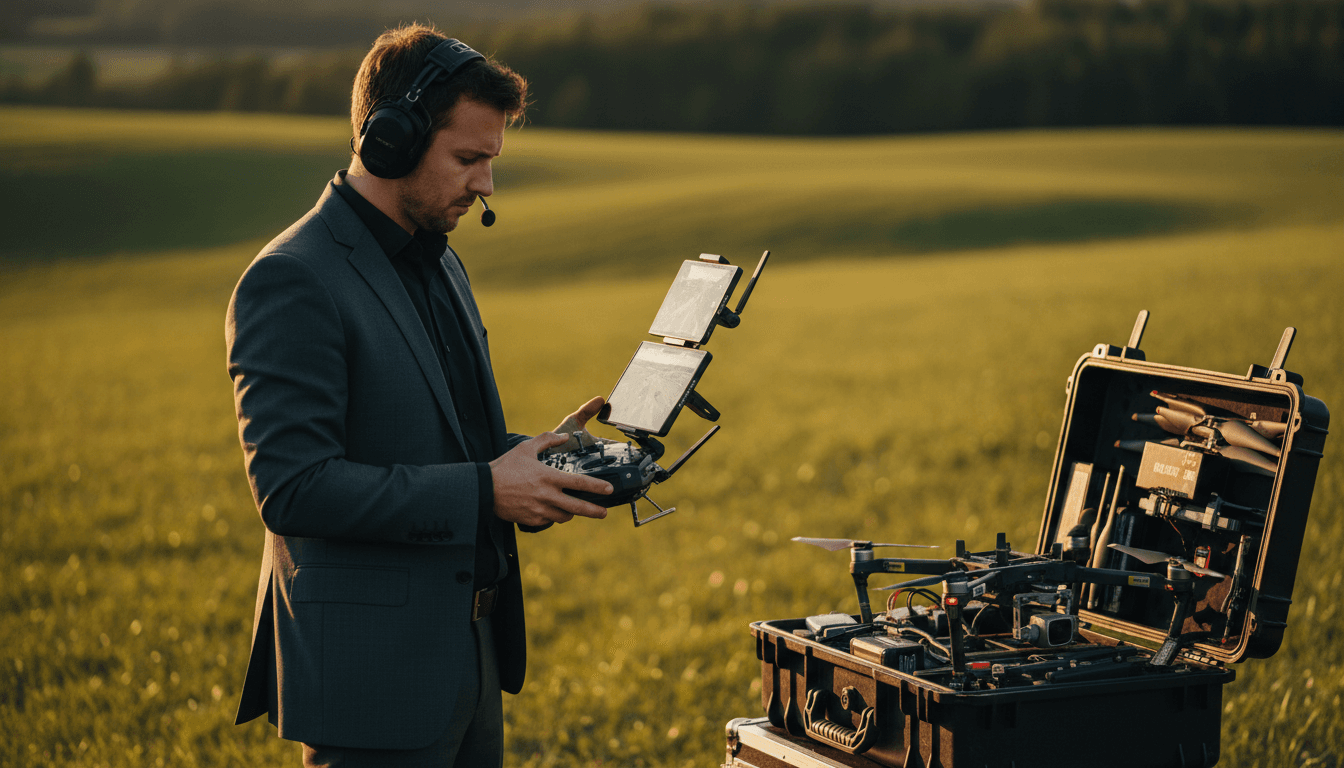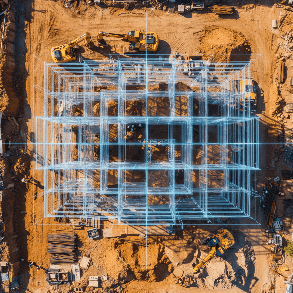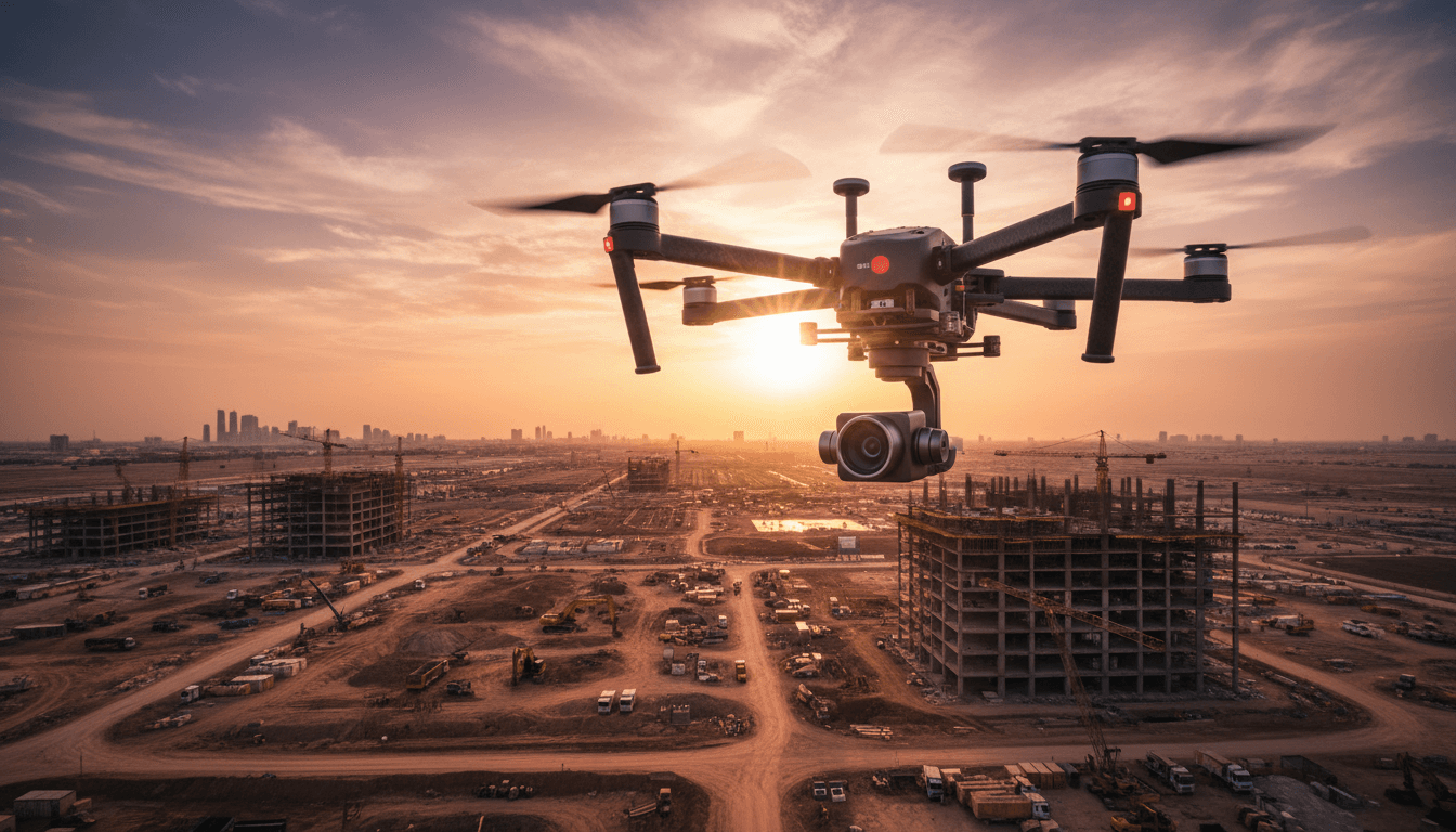
Riyadh drone services provide integrated technical solutions, including high-precision RTK aerial surveying, thermal inspection, and construction mapping to support engineering projects and digital twins. Delivered by GACA-licensed operators, these services ensure accurate data and live aerial broadcasts that meet the Kingdom's highest efficiency standards.
Have you wasted countless hours waiting for traditional survey reports, only to discover site data errors when it's too late? With the rapid pace of Saudi Vision 2030 projects, time is a luxury you can't afford to lose. Professional drone services in Riyadh have become the essential solution to streamline workflows and drastically improve data accuracy. In this guide, you will learn about our core services—from centimeter-level RTK aerial surveying and BIM/GIS-compatible construction mapping to infrastructure thermal inspections, 6K filming, and live aerial broadcasts—all delivered by a GACA-licensed operator.
What drone services are available in Riyadh, and why are they vital for Vision 2030 projects?
Major construction projects in the Kingdom cannot tolerate the delays of traditional surveying or the absence of precise data. This is exactly what makes drone services in Riyadh an operational necessity rather than a technical luxury.
As Vision 2030 projects accelerate—from NEOM and The Line in the Northwest to Riyadh's massive urban developments like New Murabba and the Riyadh Metro infrastructure—the need for accurate, real-time aerial data has never been more urgent. Drones reduce data cycles from weeks to days and cut surveying costs by up to 70% compared to traditional methods, all while maintaining centimeter-level accuracy.
Majed Aerial Solutions is a GACA-licensed operator offering five integrated services tailored to the requirements of Saudi Arabia's construction and energy sectors:
RTK Aerial Surveying with 1–3 cm accuracy
Radiometric Thermal Inspection for industrial and solar assets
Construction mapping with BIM and GIS-compatible deliverables
6K aerial filming for construction progress documentation
Live Aerial Broadcasts for real-time monitoring and major events
Below is a detailed breakdown of each service and its practical applications within the Saudi business environment.
RTK Aerial Surveying in Riyadh: Centimeter-Level Precision for Construction Projects
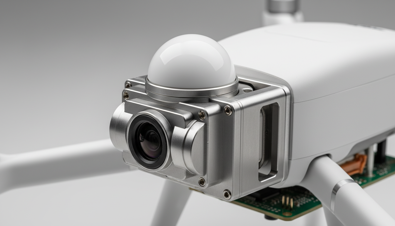
RTK (Real-Time Kinematic) technology works by correcting GPS signals instantly during flight, utilizing a fixed base station that sends real-time correction data to the drone. The result is positional data with 1–3 cm horizontal and vertical accuracy—a level of precision previously only achievable with expensive and slow traditional ground surveying equipment.
The practical difference between RTK and PPK lies in the timing of the correction. RTK corrects data instantly during flight, making it ideal for sites with good connectivity requiring immediate results. PPK (Post-Processed Kinematic) applies corrections after the flight and is the preferred choice for remote locations or challenging terrain where maintaining a constant link to the base station is difficult, such as the expansive areas of Riyadh’s industrial belt.
What is the difference between drone surveying and traditional surveying?
Traditional surveying requires field crews working for weeks, involving high labor costs and safety risks on active construction sites. Drone surveying completes the same task in days, reducing total costs by up to 70% while producing denser and more detailed data.
DeliverablesRTK Aerial Surveying provided by Majed Aerial Solutions include:
Orthomosaic Maps: Geometrically corrected aerial imagery with centimeter precision for direct measurement.
DSM (Digital Surface Model): Represents the earth's surface including all structures and vegetation.
DTM (Digital Terrain Model): Represents the bare ground surface stripped of structures; essential for cut and fill calculations.
Volumetric Analysis: Accurate calculation of earthwork and stockpile volumes to reduce disputes between contractors and developers.
Majed Aerial Solutions serves construction sites in North Riyadh, home to major residential developments, as well as the expansive plots of South Riyadh and the Riyadh Industrial City, where facilities require high-precision infrastructure documentation.
Drone Construction Mapping: BIM and GIS-Compatible Data
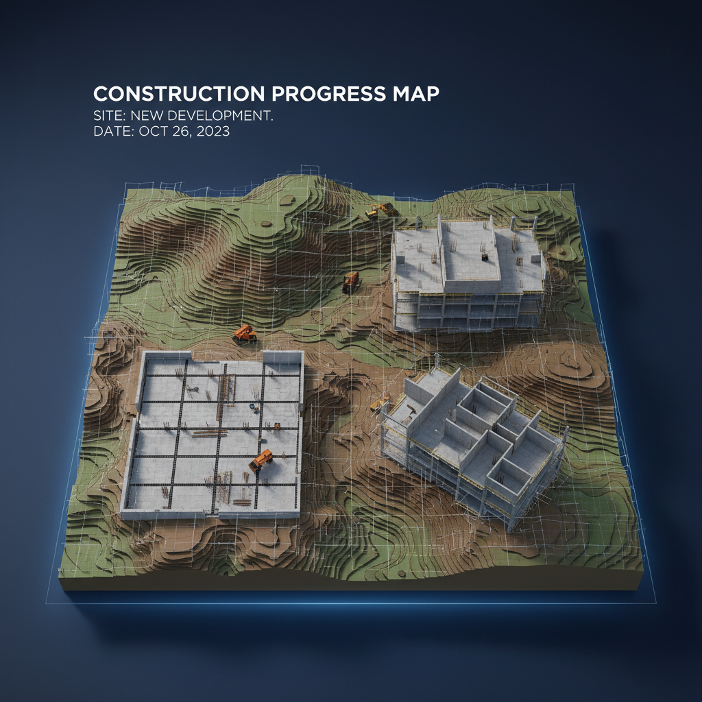
Aerial survey data only gains true value when integrated directly into the digital environment used by engineers and architects. This integration is what distinguishes professional construction mapping from simple aerial photography.
Majed Aerial Solutions delivers data ready for immediate import into Autodesk Revit and ArcGIS without the need for manual conversion or intermediate processing. Standard delivery formats include:
Point Clouds: High-density point data representing every structural detail of the site.
LAS and LAZ Files: The industry-standard format for GIS environments and engineering survey software.
3D Models: Fully compatible with BIM environments for simulating construction phases and tracking deviations from original blueprints.
How are LiDAR and Photogrammetry used to improve data accuracy?
Photogrammetry relies on processing overlapping images to extract high-accuracy 3D data at a reasonable cost, suitable for most construction sites in Riyadh. LiDAR uses laser pulses to measure distances directly, making it superior in densely vegetated areas or projects requiring exceptional structural precision. Combining both technologies produces complementary data: photogrammetry provides visual context, while LiDAR defines precise geometry.
All Majed Aerial Solutions deliverables are ISO-compliant and backed by verifiable accuracy reports, providing the documentation engineers need for official project files.
In Riyadh, this data is used in three primary contexts: monitoring highway project progress against BIM plans, planning infrastructure networks (sewage, electricity, and telecommunications), and overseeing large-scale construction sites via periodic reports compared against project timelines. This data closes the information gap between the site and the boardroom in ways that were impossible just a few years ago.
Drone Thermal Inspection: Solar Energy and Industrial Infrastructure Applications in Saudi Arabia
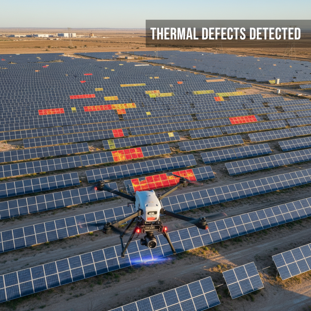
While the geospatial data discussed earlier tells you exactly what is on-site and where it is located, thermal inspection answers a different question: what is happening inside these structures without touching them or stopping operations?
Radiometric thermal inspection uses cameras that capture infrared radiation and convert it into precise temperature values for every pixel. Unlike standard thermal cameras that only produce a color-coded image, radiometric cameras store the actual temperature of every point, allowing for precise quantitative analysis and the identification of thermal deviations by degree rather than just color gradient.
Three applications represent the core demand in the Saudi market:
Solar Panel Inspection: With the massive expansion of solar plants under Vision 2030, dead cells, faulty connections, and soiled layers are major causes of efficiency loss. Thermal inspection detects these while the plant is fully operational, directly protecting operational revenue.
Power Line and Transformer Inspection: Rising temperatures at connection points and transformers are early indicators of imminent failure. Drones can scan miles of lines in hours, documenting every hotspot with precise coordinates.
Oil and Gas Pipeline Inspection: Heat leaks and insulation failures in pipelines appear clearly in thermal imaging before they turn into costly structural failures.
After every operation, our drone thermal inspection services provide a detailed technical report including GPS coordinates for every detected fault along with its exact temperature value, allowing maintenance teams to head directly to the problem without additional field searching.
6K Aerial Filming and Visual Documentation for Riyadh Construction Sites
Aerial filming in a construction context serves a fundamentally different purpose than marketing photography. While a real estate developer wants an attractive image for a sales catalog, a project manager needs a precise visual document for progress reports and design review sessions.
6K resolution makes a practical difference here. When zooming into an aerial shot at this resolution, structural details remain sharp: joint gaps between structural elements can be inspected, rebar alignment can be verified against plans, and concrete surface conditions can be documented. This is the level of detail required for drone thermal inspection services and official safety reports submitted to supervising authorities.
The construction visual documentation provided by aerial filming services at Majed Aerial Solutions covers three vital needs:
Periodic Progress Photos: Date-stamped aerial comparisons showing actual achievements versus the project schedule.
Construction Phase Documentation: Shots before and after backfilling or enclosure, kept as a legal record of the project.
Site Footage for Stakeholder Meetings: A direct visual presentation of site status without requiring a physical site visit.
For projects operating 24/7, such as sites with night shifts, we utilize specialized high-sensitivity cameras that produce clear visual documentation in low-light conditions without compromising aerial safety requirements.
Live Aerial Broadcasting: Solutions for Major Events and Real-Time Field Monitoring

While visual documentation produces files for later analysis, Live Aerial Broadcastslive aerial broadcasting
changes the equation entirely: the video reaches the recipient the exact moment it is captured. The technology relies on transmitting compressed video signals via low-latency protocols like SRT or RTMP, directly from the drone to a ground control room, event screens, or online streaming platforms. The fundamental difference from standard recording isn't quality—it's time. Recording documents what happened; live broadcasting enables a response to what is happening now.
Applications fall into two categories:
Corporate Events and Major Conferences: At gatherings like the Future Investment Initiative (FII) or sporting events in Riyadh, live aerial shots add a visual dimension that ground cameras cannot provide, streamed directly to jumbo screens or remote viewing platforms.
Real-Time Construction Site Monitoring: Instead of waiting for a daily report, project managers can view site status in real-time from their office, significantly shortening the decision cycle for large, sprawling sites.
Operating over crowds requires a special permit from GACA, as operational risks in congested environments differ fundamentally from open sites. Majed Aerial Solutions holds this authorization and manages the necessary airspace permits for every event.
GACA Licensing and Legal Drone Operations in Saudi Arabia

A GACA license is not a procedural detail; it is the line between a legally compliant operation and one that exposes the project owner to direct liability.
The distinction between recreational and commercial operation is clear in Saudi regulations: personal recreational use has simpler registration requirements, but any operation that produces commercial benefit—whether a construction survey, thermal inspection, or paid documentation—falls under commercial operation, requiring a separate license from the General Authority of Civil Aviation (GACA).
Commercial licensing requirements cover three pillars: registering the aircraft with GACA with documented technical specs, obtaining flight permits for every operational site (defining airspace, altitude, and duration), and third-party insurance that protects the client and project stakeholders in the event of an incident.
How do you obtain a commercial drone permit?The process involves the GACA digital portal, where aircraft data, operator credentials, and flight plans are submitted. Approval can take from one to several days depending on the airspace type.
Working with an unlicensed operator does not save money; it transfers full legal liability to the project owner in the event of a violation or accident. Majed Aerial Solutions is fully licensed by GACA and handles all necessary flight permits for every site on behalf of the client, including restricted airspaces near airports or vital installations.
Why Choose Majed Aerial Solutions for Your Project in Riyadh?
Once licensing requirements are met, the practical question for a project manager is: do I work with a local Riyadh company or an international provider flying in a team?
The difference isn't in the equipment—professional RTK gear and radiometric thermal cameras are available to everyone—it's in the operational context. A local provider can reach your site in North Riyadh or the Industrial City in hours, not days. We already know which airspaces require prior permits and how to secure them from GACA without delay, and our team communicates directly with site crews in Arabic with a first-hand understanding of the Saudi work environment.
Majed Aerial Solutions combines five essential elements: full GACA licensing, 1–3 cm precision RTK surveying, radiometric thermal cameras for industrial needs, BIM and GIS-ready data deliverables, and a Saudi team that understands local project requirements.
If your project in Riyadh requires any of these services, you can find full details on our Services Page.
Adopting advanced drone technology is no longer just an option but a necessity for ensuring precision and safety in modern projects across Riyadh. By integrating RTK surveying and thermal imaging, you can streamline your workflows while maintaining full GACA compliance. If you want expert help to elevate your operations, we are ready to assist. Learning more about Construction Monitoring is a natural next step for those seeking to enhance their site oversight and long-term project success.