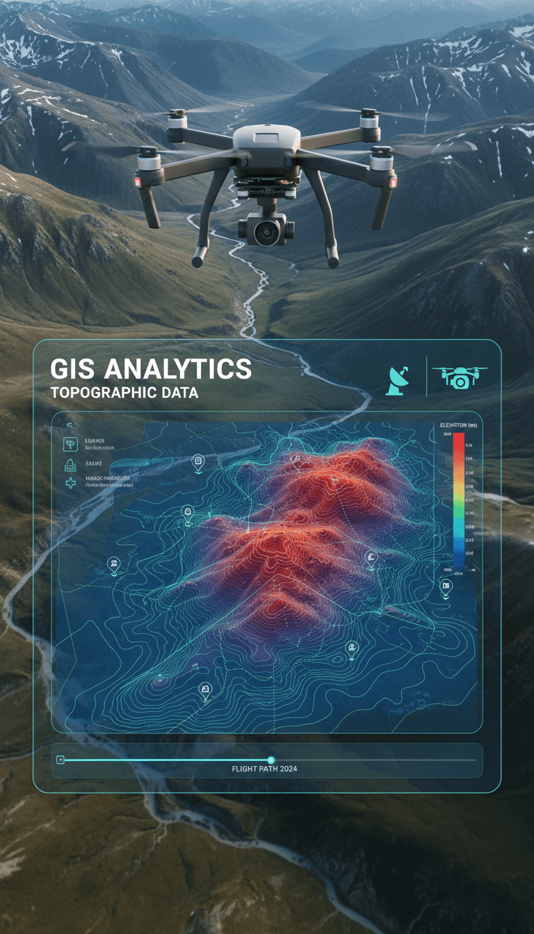
GIS Analysis & Hydrological Modeling
Professional GIS analysis and HEC-RAS 2D flood simulation from Majed Aerial Solutions — QGIS workflows, CHM canopy modeling, drainage planning, and flood risk assessment for engineering and infrastructure projects across Saudi Arabia.
Precision Hydrological Analysis with QGIS and HEC-RAS 2D
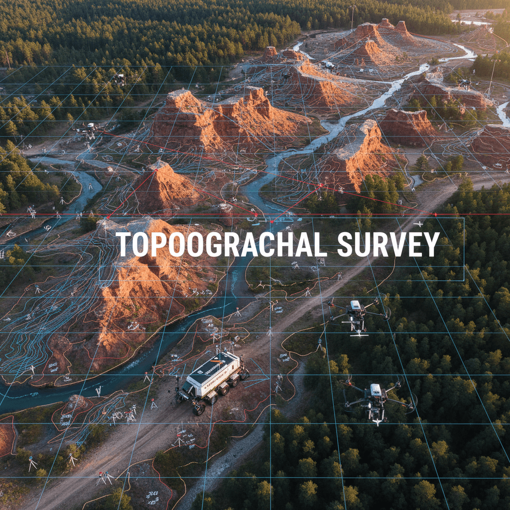
We combine high-resolution RTK aerial surveys with QGIS and HEC-RAS 2D modeling to deliver hydrological analysis that protects infrastructure and supports engineering decisions. GACA + GEOSA licensed, ±1–3 cm accuracy with GCP validation.
High-Resolution Aerial Imaging
6K aerial imagery captures site detail with reliable clarity for downstream geospatial analysis and engineering documentation.
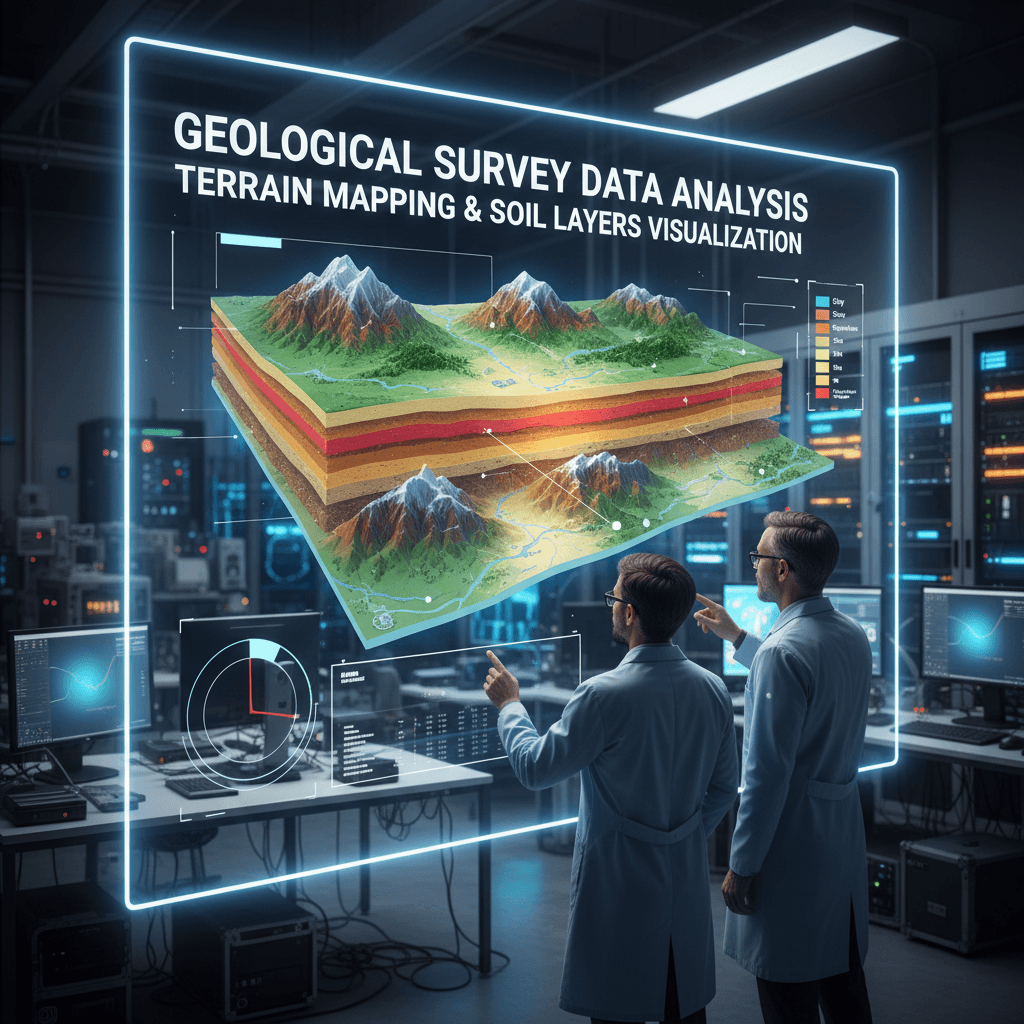
Geological Data Analysis
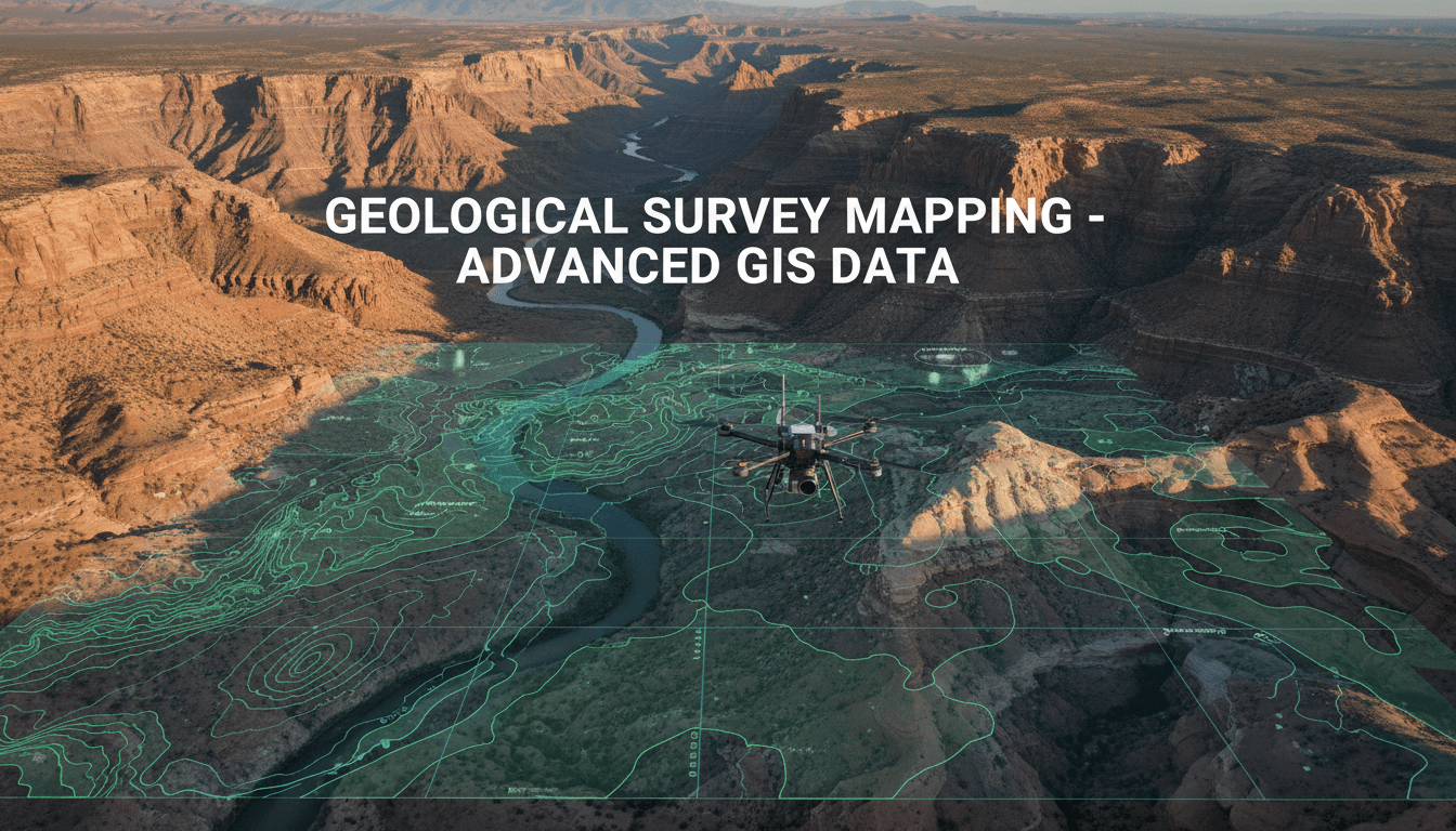
Comprehensive geological layer and soil analysis to assess site stability for construction and infrastructure planning.
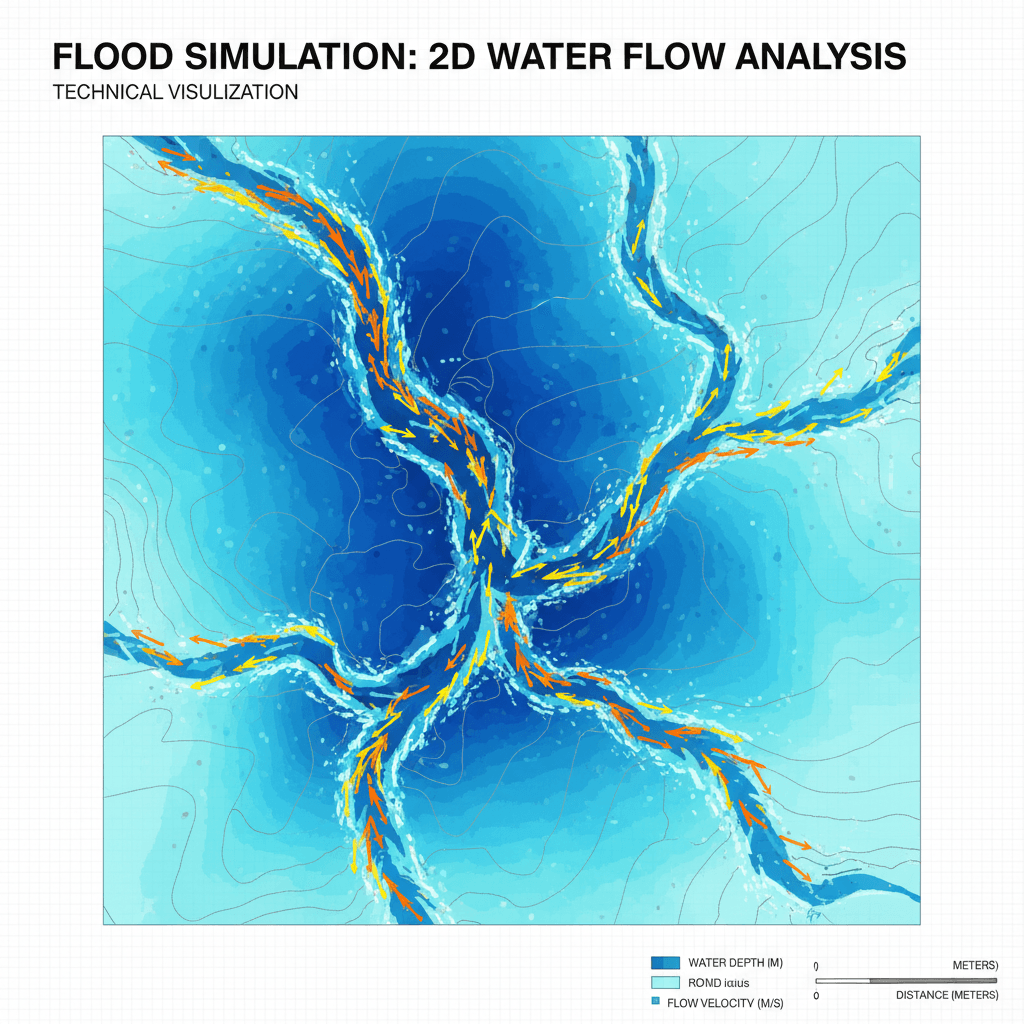
HEC-RAS 2D Flood Simulation
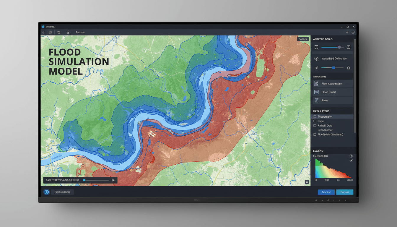
Advanced 2D hydraulic modeling predicts water flow and flood behavior to inform protective design and risk mitigation.

Advanced GIS Data Processing
Transform raw geospatial data into precise maps and actionable reports compatible with QGIS, ArcGIS, AutoCAD, and Civil 3D.

Comprehensive Engineering Reports
Detailed technical documentation in industry-standard formats — GeoTIFF, DXF, LAS/LAZ, PDF — ready for direct use in engineering workflows.
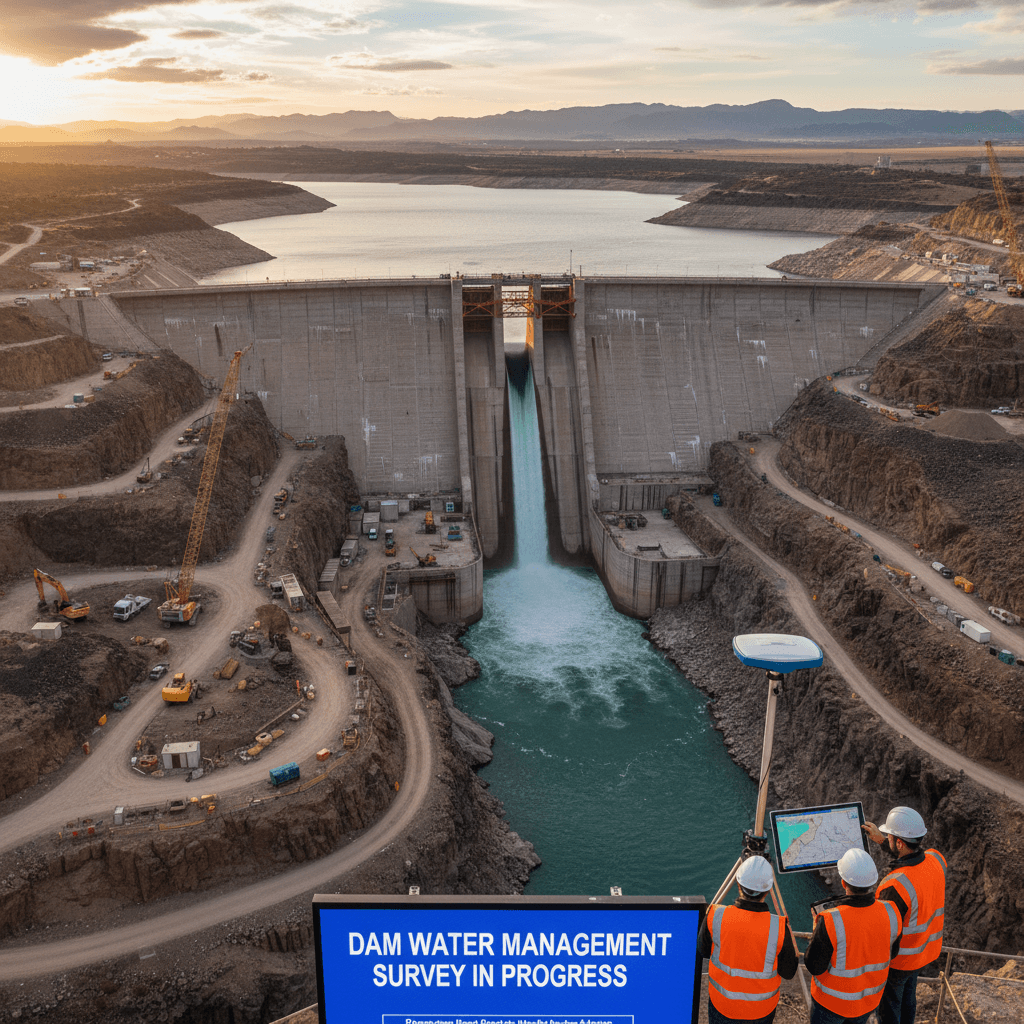
Infrastructure Project Support
Specialized analytical support for road, dam, water management, and utility projects with rigorous methodology and validated outputs.
Frequently Asked Questions
For additional questions about our hydrological and geospatial services, contact us directly.
Get a Quote for Your Hydrological Analysis Project
Tell us about your project scope and requirements. We respond promptly with a detailed quote, clear scope of work, and project timeline.