
Precise Cut and Fill Volume Calculations
Majed Aerial Solutions provides RTK-grade drone surveys for accurate volume data across Riyadh and Saudi Arabia, backed by GACA and GEOSA licensing.
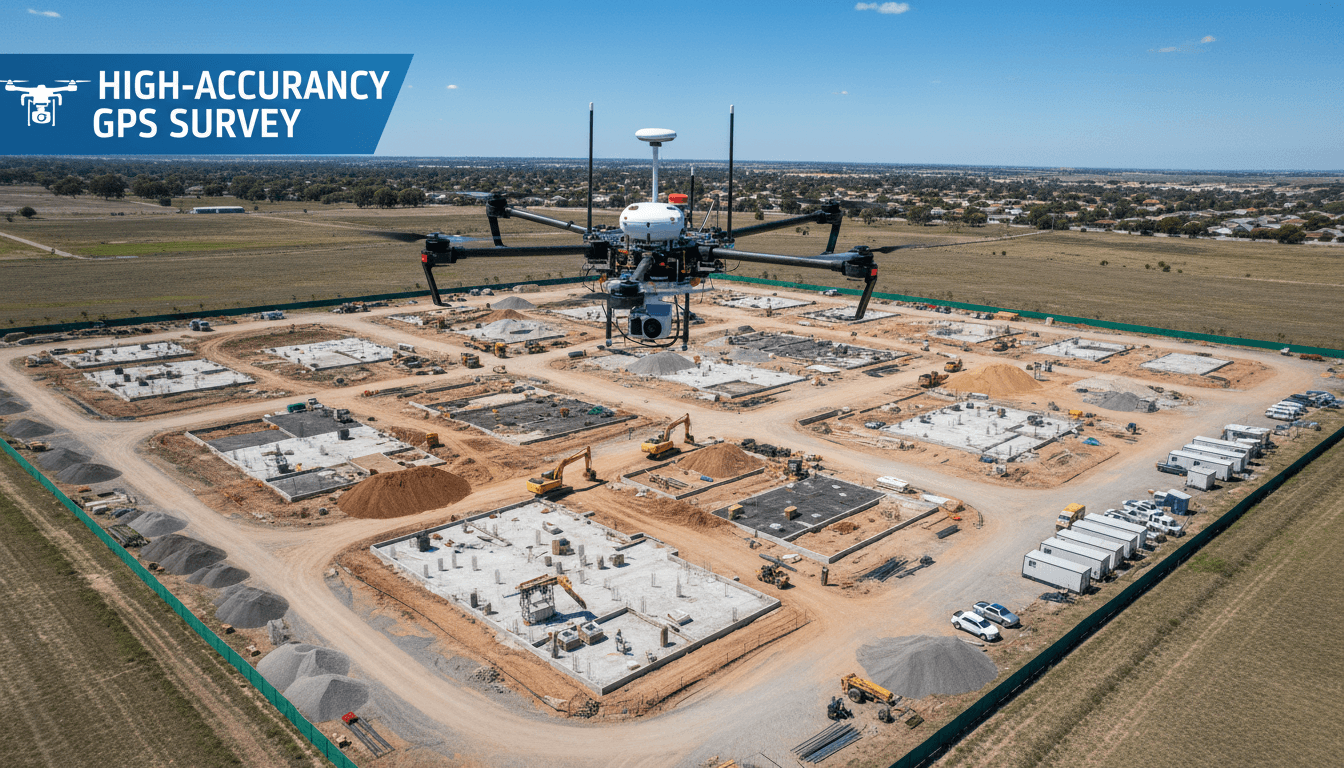
Centimeter-Accurate Drone Quantity Takeoffs
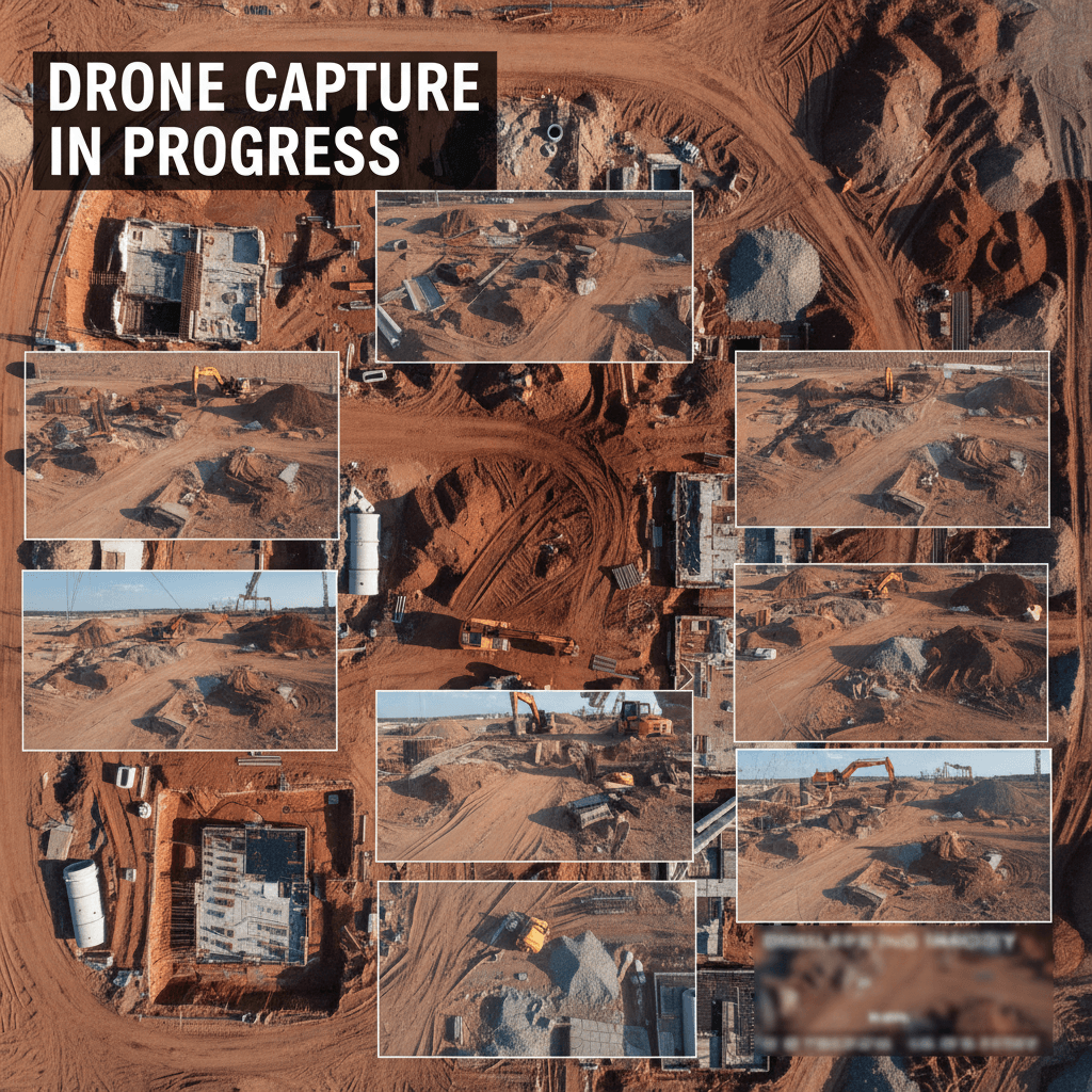
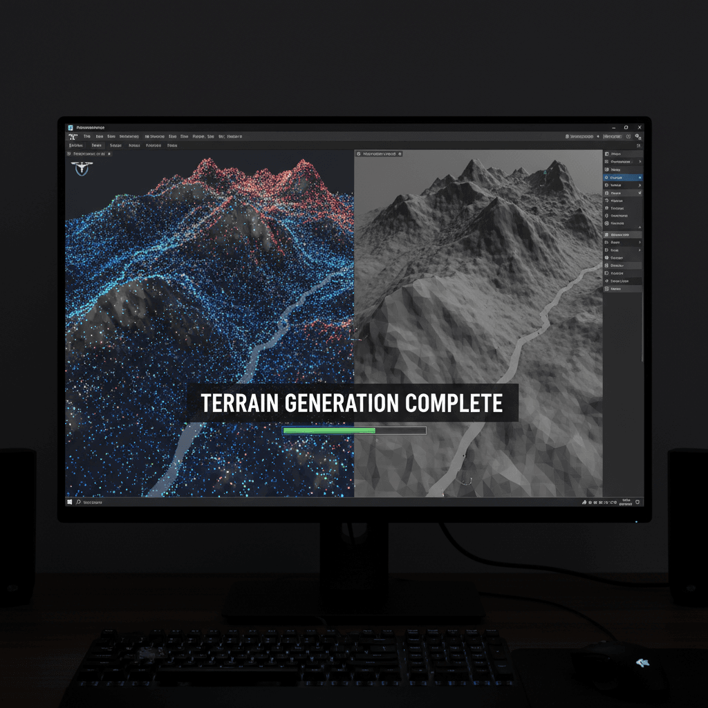
Drone-based quantity surveying involves measuring excavation, backfill, and stockpile volumes from high-resolution aerial data. We transform your site into a 3D digital twin to extract the precise data needed for confident project management.
100+ Successful Aerial Survey Projects in Saudi Arabia
We turn your sites into actionable data: cut and fill volumes, stockpile totals, and 3D models. Delivered by a fleet of 8 drones with full GACA and GEOSA certification.
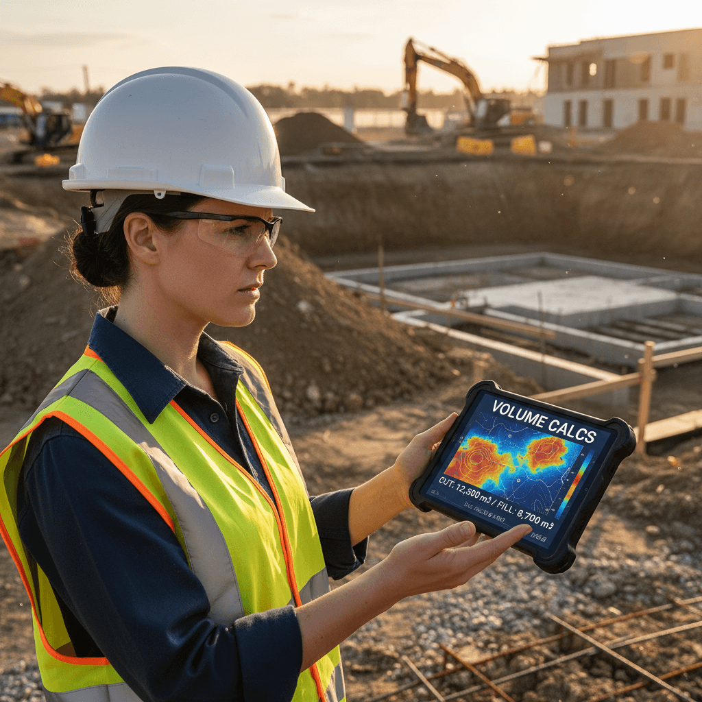
Cut & Fill Volume Calculations
Precise measurement of soil volumes before, during, and after execution. Certified reports to support claims and contract settlements.
Accurate Stockpile Inventory
Quantify sand, gravel, and cement volumes on-site. Monitor actual inventory levels without the need for manual climbing or hazardous inspections.
Earthworks Progress Monitoring
Regular tracking of excavation and grading. Compare actual site progress against design plans with monthly aerial updates.
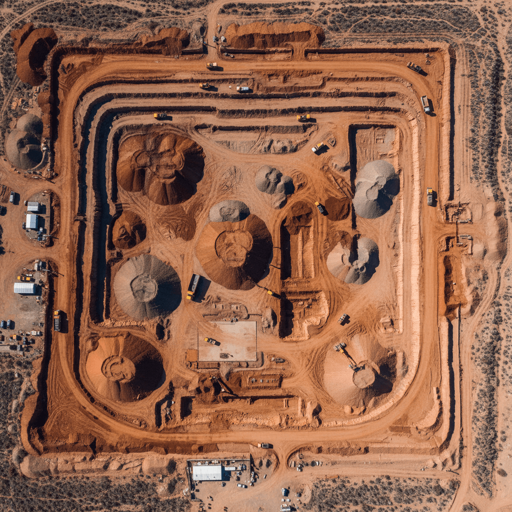
BIM-Compatible Deliverables
DXF, GeoTIFF, and point cloud data ready for AutoCAD and Revit. Integrate site reality directly into your BIM workflows.
Remote Site Monitoring
Access interactive maps and reports from anywhere. Monitor project milestones in real-time across Riyadh or anywhere in Saudi Arabia.
Rapid Site Surveying
Complete comprehensive site surveys in a single day. Capture accurate data 3 to 5 times faster than traditional surveying methods.
Are you still calculating quantities manually?
Replace manual labor and human error with fast, precise aerial surveys. This is how Majed Aerial Solutions streamlines earthworks projects in Riyadh.
Reliable High Precision
RTK measurements with ±1-3 cm accuracy, validated by GCPs, allowing for direct comparison with project blueprints.
Safety First
Eliminate the need for personnel to enter hazardous areas. Drones cover slopes and embankments from the air, keeping your team safe.
Rapid Turnaround
Survey vast sites in minutes rather than days. Receive volume reports quickly to support time-sensitive project decisions.
Cost-Effective Solutions
Optimize the time of engineers and surveyors while reducing calculation errors that lead to budget overruns.
Data You Can Base Decisions On
We control every variable affecting accuracy—from RTK and GCPs to flight altitude and data processing. The result is precise data you can rely on for your financial and engineering calculations.
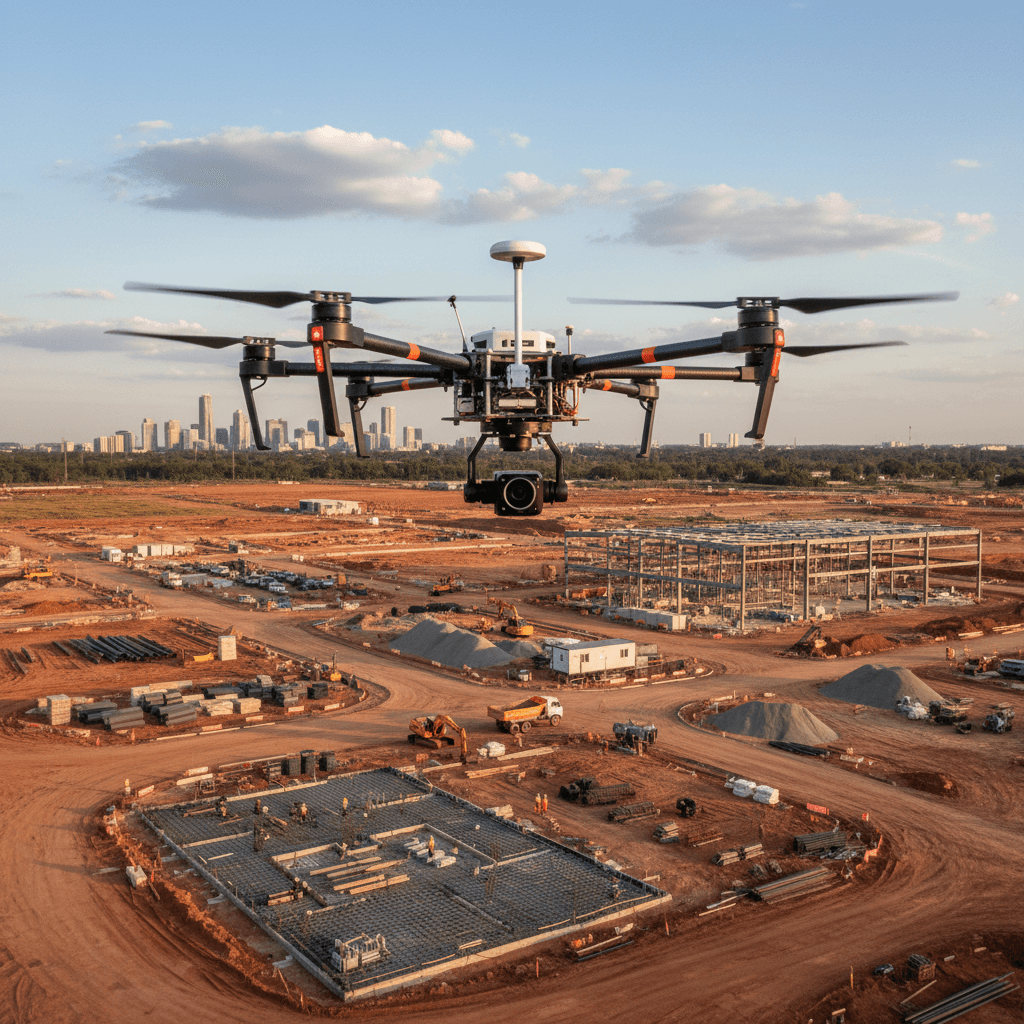
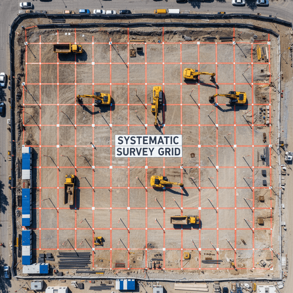
We establish GCPs prior to flight to anchor all data to absolute geographic coordinates.
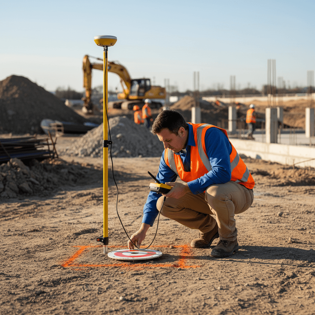
We establish GCPs prior to flight to anchor all data to absolute geographic coordinates.
Licensed DJI Mavic 3E RTK Operations
A fleet of 8 professional drones licensed by GACA and GEOSA, delivering ±1-3 cm accuracy for over 100 successful projects in Saudi Arabia.
8
Professional Drone Fleet
Equipped with DJI Mavic 3E RTK and advanced imaging systems for industrial applications.
3
Official Licensing
Fully licensed by GACA, GEOSA, and GAMR for nationwide aerial operations.
100+
Completed Projects
Over 100 successful aerial survey projects delivered across various regions of the Kingdom.
1-3
Survey Precision
Achieving measurement accuracy of ±1-3 cm with GCP validation.
Precision Starts with Planning
Before a single drone takes off, we design a flight plan and establish ground control. This preparation defines the quality of the results and is why our data is trusted by industry leaders.
Get Your Report and Start Working
Explore the outputs you receive after every survey: analysis-ready data, certified reports, and 3D models that reflect the exact reality of your site.

Quantity Survey Reports
Executive summaries with precise cut and fill figures, formatted for immediate approval and audit.

3D Site Models
Reality-captured digital twins for measuring distances and making informed site decisions.

Contour & Topographic Maps
Detailed topographic maps and contour lines defining ground elevations and site boundaries.

Volume & Elevation Profiles
Visual data distributions of volumes and elevations to support execution and monitoring plans.
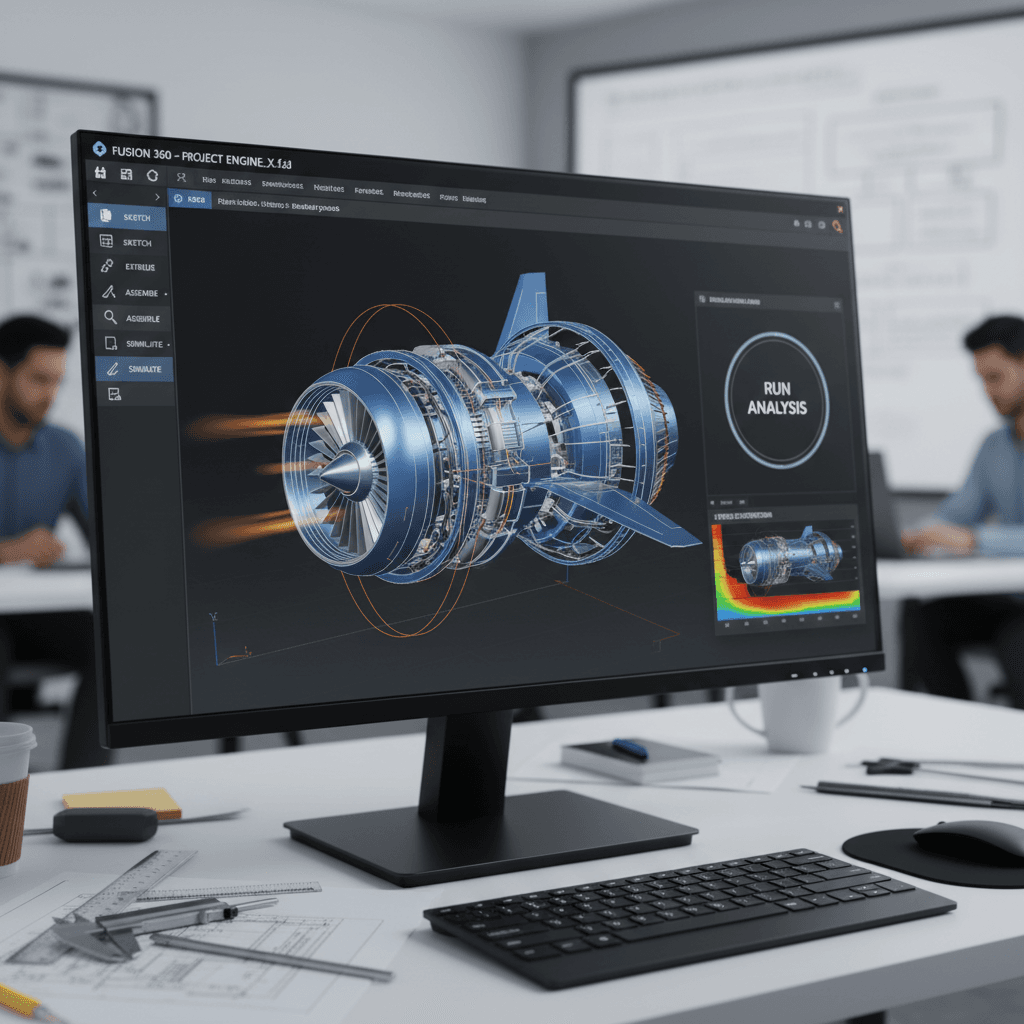
CAD & GIS Data
Digital files ready for import into AutoCAD and ArcGIS for seamless project integration.
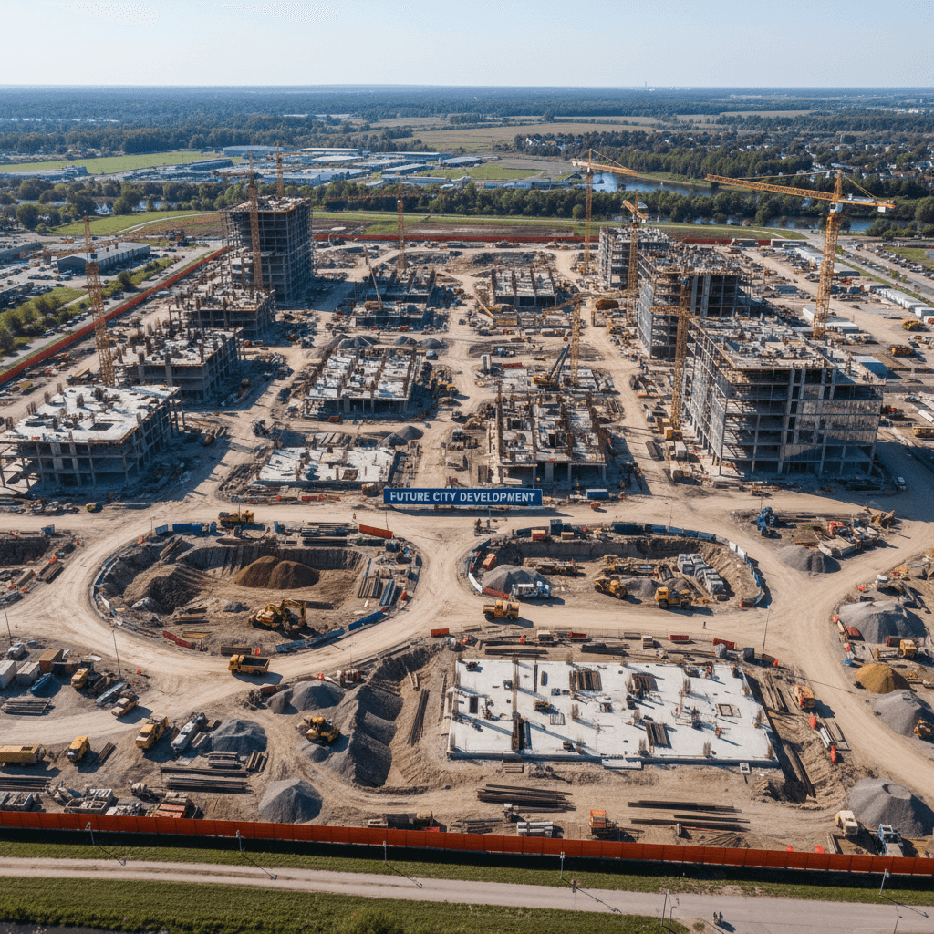
High-Resolution Orthomosaics
High-detail aerial imagery documenting site conditions at the time of survey to support all reporting.
Quantity Surveying in Saudi Arabia
We manage precise quantity calculations for excavation, backfill, and stockpiles at sites from Riyadh to every corner of the Kingdom.
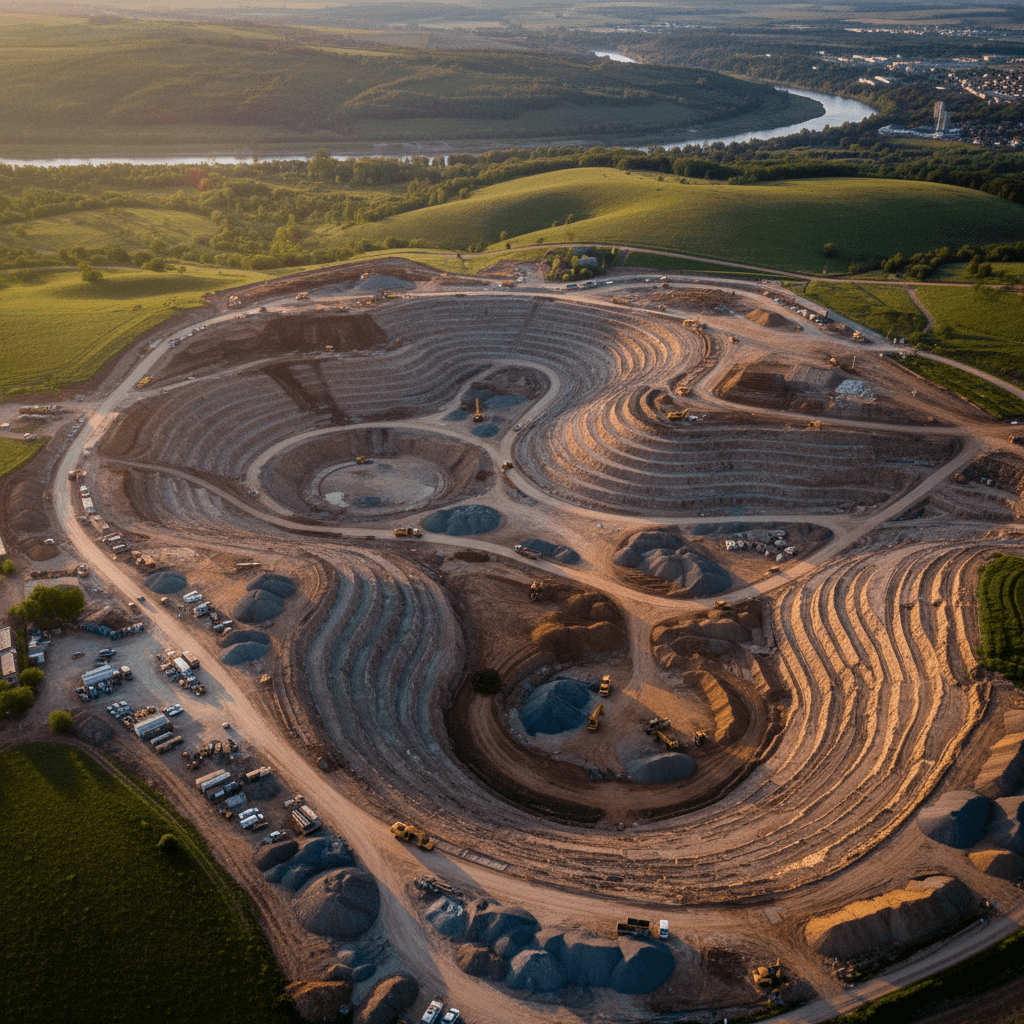
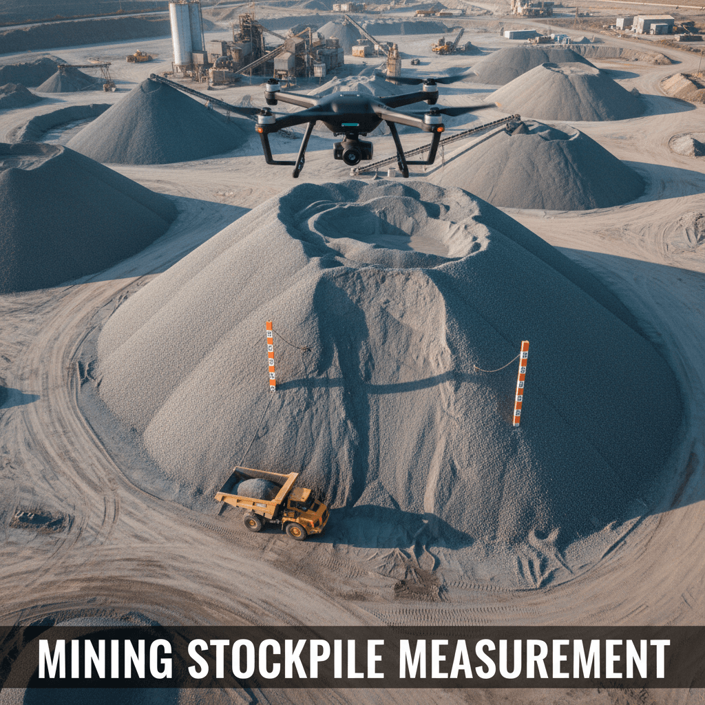
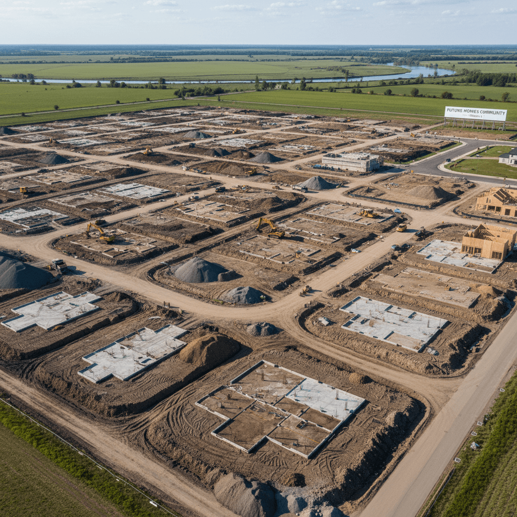

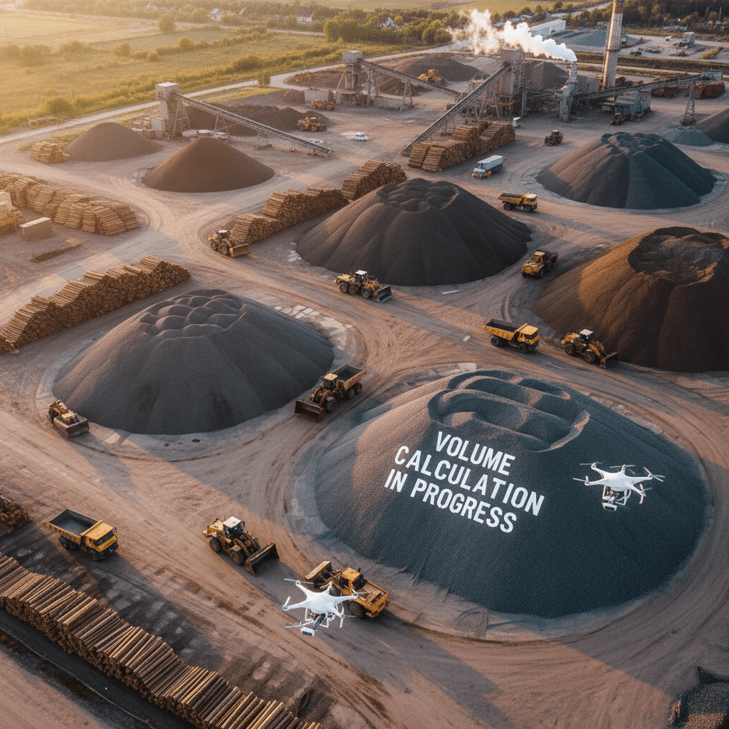
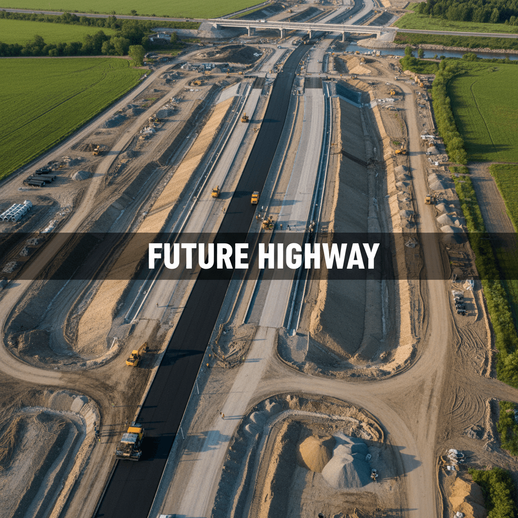
Over 100 projects monitored using time-series comparison
We capture periodic aerial surveys of your site to provide verified earthwork figures, eliminating guesswork. These precise volumes serve as a reliable reference for all stakeholders.

What do we need to start your survey?
Simply provide the site boundaries or coordinates, access details, and any existing survey data. We handle the rest with our specialized equipment and field expertise.
Clear answers before you begin
Direct answers regarding accuracy, cost, duration, and licensing. If you have more questions, we are here to help.
Certified quantity reports from Riyadh to all of Saudi Arabia
We support earthwork projects in Riyadh and across the Kingdom. Based in Riyadh, we are ready to deploy to your site and deliver professional reports nationwide.
We only promise numbers we can deliver
We provide a transparent workflow and precise quantity reports you can trust. Contact us today for a free consultation.