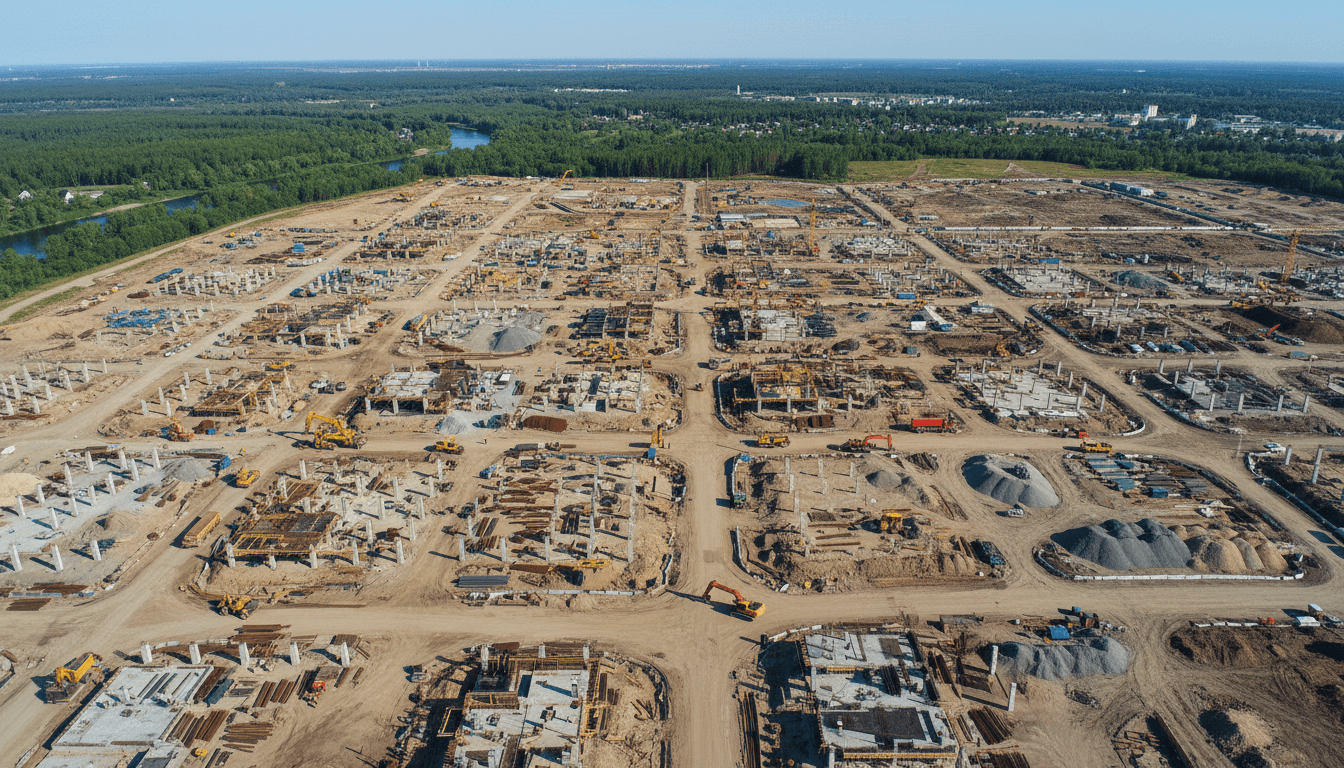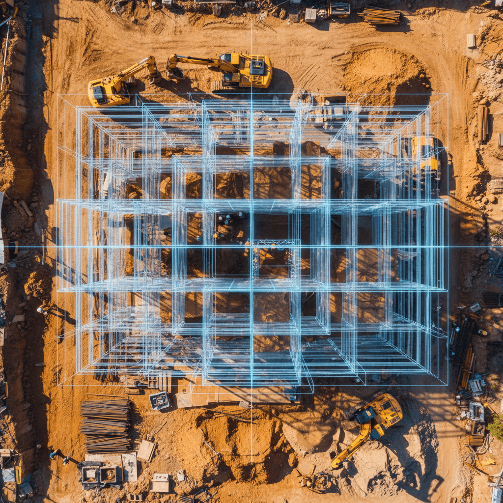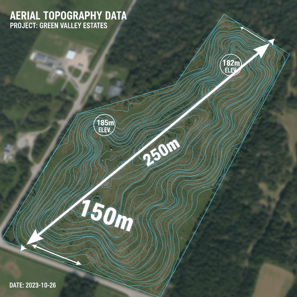
In Saudi Arabia, government initiatives are leveraging drone GIS mapping and high-resolution aerial data to drive efficiency in urban planning and infrastructure projects nationwide. These tools provide precise 3D road models and spatial analysis for smart city initiatives, ranging from traffic management to environmental monitoring. By integrating drone surveys with GIS platforms, agencies can effectively manage rapid urban growth and support major national development projects.
Across Saudi Arabia, government agencies and municipal teams are under pressure to deliver accurate, decision-ready spatial data for projects moving faster than traditional survey methods can handle. Satellite imagery lacks detail, ground surveys are too slow, and the gap between what planners need and what legacy systems provide is widening. Drone mapping bridges this gap, and agencies from Riyadh to NEOM are taking notice. This guide explains how RTK drone surveying achieves government-grade accuracy, how GIS data is structured for municipal use, the requirements for GACA compliance, and how drone mapping directly supports Vision 2030 urban development goals across the Kingdom.
What is Drone GIS Mapping and Why Do Saudi Government Agencies Use It?
Drone GIS mapping involves using UAVs equipped with high-resolution cameras or sensors to collect georeferenced aerial data, which is then processed into GIS-ready layers. The results go beyond basic photography, offering spatially accurate, coordinate-based data such as orthomosaic maps, elevation models, and classified feature layers that planners, engineers, and decision-makers can measure, analyze, and compare against existing municipal records.
The value is most apparent when compared to other options. Traditional ground surveys are highly accurate but slow and expensive for large urban areas. Satellite imagery is fast and covers vast regions, but with a limit of about 30cm per pixel, it is too coarse for cadastral mapping or infrastructure inventory. Drone GIS hits the sweet spot: providing centimeter-level accuracy for hundreds of hectares in a single workday.
This combination of speed, detail, and precision is why drone GIS mapping is increasingly appearing in Saudi government tenders and urban planning. Municipalities, planning authorities under MOMRAH, and Royal Commission project offices are now writing drone survey requirements directly into tender documents, knowing that georeferenced aerial data from drones integrates seamlessly with the geospatial systems their plans depend on.
How Saudi Government Agencies Utilize Drone GIS Data

The geospatial data produced by drone surveys feeds directly into the planning workflows, asset registries, and regulatory decisions managed by Saudi government entities daily. Here are five concrete ways drone GIS mapping is applied for government use in KSA: **Land Use Planning and Zoning Updates:** Riyadh is expanding faster than traditional survey cycles can track—a pressure shared by Jeddah and the emerging NEOM corridor. Orthorectified drone imagery allows municipal planning departments to update land-use classifications and zone boundaries based on current field conditions rather than relying on months-old data, ensuring development approvals reflect reality. **Infrastructure and Fixed Asset Inventory:** The Royal Commission for Jubail and Yanbu has utilized drone surveys to build structured registries of fixed infrastructure assets across its industrial cities, replacing manual field logging with spatially referenced datasets. This significantly reduces the time and manpower needed to maintain accurate asset records for roads, utilities, and civic structures. **Road Network Planning and Traffic Corridors:** The Riyadh Region Municipality (Amanat Al-Riyadh) integrates spatial data into mobility planning. High-resolution drone surveys provide as-built corridor maps that support these analyses, capturing lane configurations, intersection geometry, and encroachments that 30cm satellite imagery simply cannot resolve. **Cadastral Surveys and Property Boundaries:** Municipal land registries require precise boundary definition for title records, subdivision approvals, and property disposals. RTK-equipped drone surveys provide coordinate-accurate boundary data that integrates directly into real estate databases without the extensive field time required by traditional methods. **Environmental Mapping and Flood Risk:** Low-lying urban areas in Jeddah and parts of Riyadh remain vulnerable to flash flooding. Accurate Digital Terrain Models (DTM) are essential for drainage planning and risk assessment. Drone-derived elevation data provides the ultra-high-resolution topography needed to model water flow paths and identify at-risk plots with a precision regional satellite DEMs cannot match. Agencies evaluating professional drone solutions for government projects must ensure the provider can structure deliverables specifically for these workflows, rather than just supplying raw imagery.
RTK Drone Surveying: The Technology Behind Government-Grade GIS Accuracy

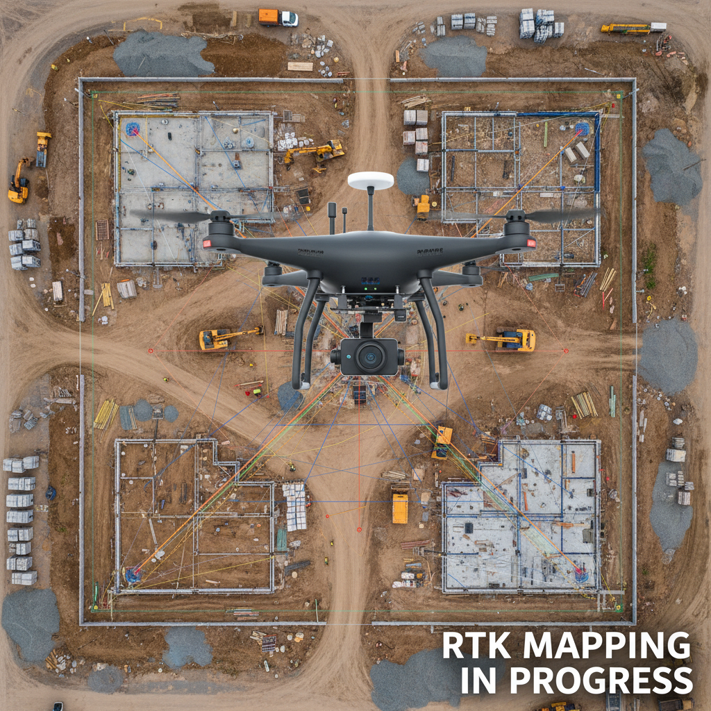
Achieving government-grade GIS data requires a close look at the positioning technology used. Real-Time Kinematic (RTK) is an advanced satellite positioning method where the drone receives continuous correction signals from either a ground base station or an NTRIP network. These corrections fix the positional drift found in standard GPS, allowing the drone to tag images with 2-3 cm horizontal and 3-5 cm vertical accuracy. In the context of Saudi urban and government planning, this level of precision is a requirement, not a luxury. Land records, infrastructure assets, and official municipal databases rely on accuracy standards that lower-grade methods cannot meet. While an orthomosaic produced without RTK might look good visually, it can contain positional errors of a meter or more—enough to shift property lines or misrepresent drainage channels in flood risk models. RTK-enabled surveys also reduce the need for dense Ground Control Point (GCP) networks. Instead of laying and measuring dozens of field markers before flight, the drone achieves high accuracy with minimal points, significantly reducing setup time and field crew size. Standard deliverables include GeoTIFF orthomosaics, LAS/LAZ point clouds, and Digital Elevation Models (DEM), with each dataset containing embedded coordinates ready for direct ingestion into GIS platforms. In terms of efficiency, a single RTK flight can cover hundreds of hectares in one day, delivering results that rival Total Station surveys which might take weeks of field work. When reviewing aerial survey services, organizations should ensure that RTK hardware and NTRIP access are standard operating procedures. When deciding between drone or satellite GIS for municipal projects, the choice depends on four key dimensions.
Dimension | Drone GIS | Satellite GIS |
|---|---|---|
Resolution | 1 to 5 cm/pixel | 30 cm to 5 meters/pixel at best |
Timeliness | On-demand; flights scheduled within days. | Subject to revisit cycles and tasking queues. |
Scalability Cost | Cost-effective for targeted areas and sites. | More cost-effective for vast regional coverage. |
Cloud Cover & Obstructions | Flies below clouds; captures under bridges/canopies. | Blocked by cloud cover; cannot see under structures. |
The gap between satellite imagery and drone technology is most evident in the resolution required for government work. Satellite imagery, which maxes out at 30cm per pixel, cannot reliably capture fine details like property markers, utility covers, or road edges—essential details for cadastral and infrastructure registries. Drones provide this data with exceptional clarity. Time is also a critical factor in Saudi Arabia's fast-paced environment. Major projects and residential districts evolve faster than satellites can update. With drones, aerial surveys can be executed and delivered as GIS-ready layers in days rather than weeks. Furthermore, cloud cover is an operational hurdle for satellites, especially in coastal regions and during volatile seasons. Drones fly at low altitudes, ensuring work continues regardless of the atmospheric conditions that might block space-based imaging. Consequently, drone technology remains the superior choice for urban planning, real estate surveys, and active construction monitoring in the Kingdom, while satellite imagery remains suitable for broad regional base maps that do not require centimeter-level precision.
GIS Data Formats for Government and Municipal Use
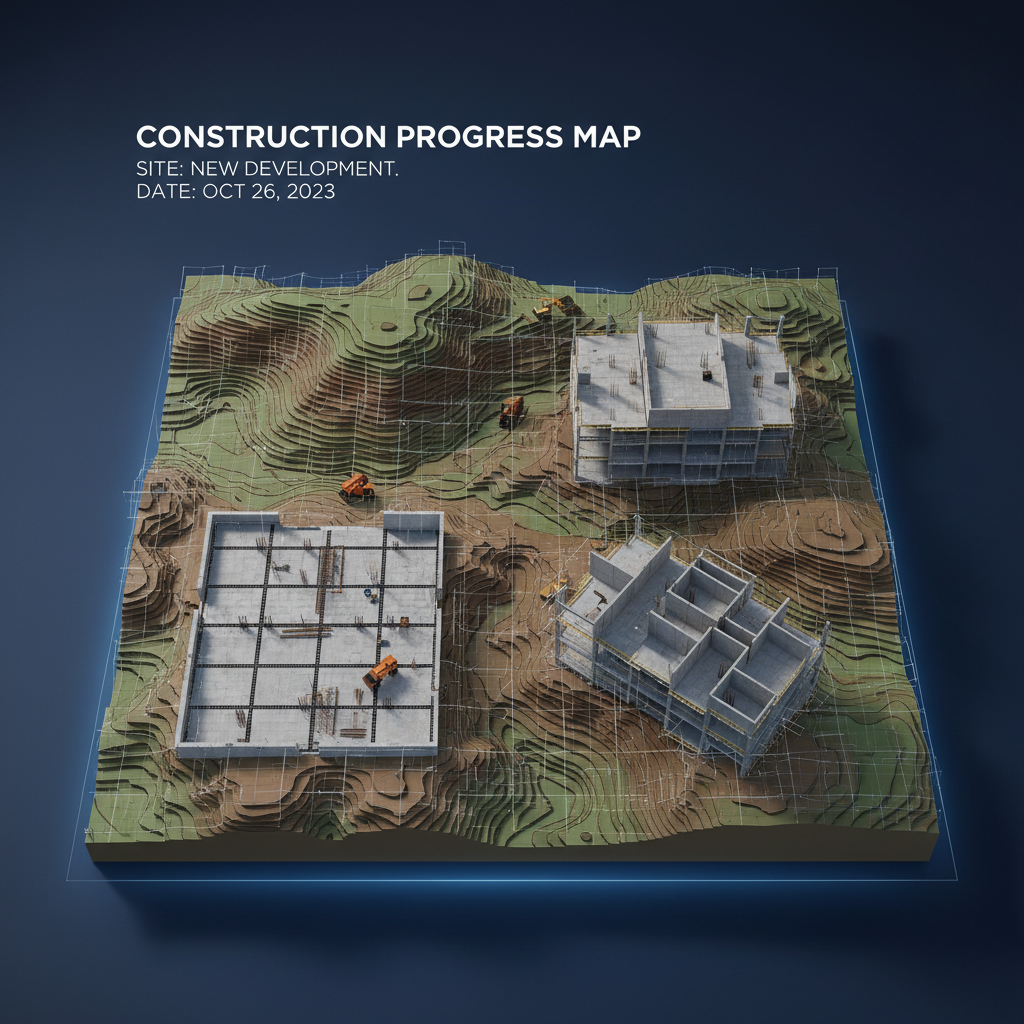
Choosing the correct geospatial data format is the cornerstone of a successful aerial survey. Government procurement teams must ensure that deliverables are not only accurate but also functional and integrable with existing systems. High spatial accuracy loses its value if large files cannot be merged into the agency's GIS platform or if engineering contractors face compatibility issues. Professional drone survey deliverables include several core files, starting with Orthomosaic GeoTIFFs. These are high-resolution images processed to remove distortions from terrain and camera angles, appearing as a perfectly flat map. They are geometrically and radiometrically corrected with embedded coordinate data, allowing direct integration into ArcGIS, QGIS, and the Saudi Geoportal. This data facilitates immediate use in urban planning, base map updates, and precision land analysis. For 3D data, point clouds in LAS or LAZ formats are essential, providing dense coordinate data for every surface point captured. Whether derived from LiDAR or photogrammetry, this data is the foundation for structural analysis and Building Information Modeling (BIM) integration. These point clouds allow engineers to calculate volumes and measure heights with high precision, supporting data-driven decisions in infrastructure projects. Regarding topographic maps, Digital Surface Models (DSM) and Digital Terrain Models (DTM) are typically delivered as GeoTIFF or ASCII files. A DSM shows all surface details including buildings and vegetation, while a DTM focuses only on the bare earth by filtering out non-natural elements. This distinction is vital for drainage studies, flood risk modeling, and new road alignment. Shapefiles and GeoJSON are also vital for handling vector data, such as building footprints, property boundaries, and utility paths extracted from aerial data. For review by non-specialist stakeholders, KML and KMZ files provide lightweight layers viewable in Google Earth, allowing progress monitoring without specialized software. Additionally, IFC and Autodesk ReCap formats serve advanced engineering needs, where drone data flows directly into BIM environments for major construction projects. National entities like the Riyadh Urban Data Center and the General Authority for Survey and Geospatial Information (GEOSA) maintain strict standards for geospatial data exchange. Aerial survey providers must deliver data using reference systems and file structures that comply with these requirements from the start to avoid costly reformatting and ensure investment efficiency.
GACA Licensing and Compliance for Government Drone Survey Projects
Technical aspects like data formats only matter if the drone operator is legally authorized to fly. For government procurement teams, compliance is not a formality—it is a matter of protecting the agency from liability and regulatory risk. All commercial drone operations in Saudi Arabia require official certification from the General Aviation Authority (GACA). This regulation applies without exception to all drone GIS mapping for the government and urban planning sectors, including municipal surveys, critical infrastructure inspections, and cadastral data collection. Operating without a valid permit is a clear regulatory violation. Contracting agencies that engage unlicensed operators can be held legally responsible for the breach alongside the operator, leading to unforeseen legal and financial consequences. To ensure procedural integrity in government and municipal procurement, tender documents should explicitly require three core items from any drone mapping provider before contracting. First, official proof of a GACA Commercial Operating Permit. Second, a current liability insurance policy covering operational risks. Third, demonstrated administrative and technical capability to secure mission-specific flight permits for restricted airspace. Restricted zones are common in Riyadh; areas near King Khalid International Airport, sensitive government complexes, and designated security zones require a separate permit for every flight. A general commercial license is not enough in these cases. Procurement officers are responsible for vetting these documents before awarding projects. It is vital to understand that a standing commercial permit covers general operations but does not automatically grant access to restricted airspace, which requires specific security and technical coordination. Majed Aerial Solutions holds all necessary GACA licenses for commercial operations and possesses the expertise to secure permits for complex missions in Riyadh and across the Kingdom. We provide professional, fully compliant drone solutions that support government project success without regulatory risk.
How Drone GIS Mapping Supports Vision 2030 Urban Development Goals
Once regulatory compliance is assured, the focus shifts to how effectively the collected data serves the strategic objectives of these projects. Saudi Vision 2030 is a multi-faceted ecosystem of giga-projects, each with unique geospatial data requirements. Drone GIS mapping solutions for government use are designed to meet these needs with immediate precision. In NEOM and other active giga-project sites, there is a critical need for continuous topographic monitoring, as terrain changes rapidly due to intensive earthworks. RTK-equipped drone surveys provide the DTMs and high-resolution orthomosaics essential for project teams to track cut-and-fill volumes, verify grading against design models, and update BIM environments with current site data. This represents a workflow pace that satellite imagery or traditional ground crews cannot match. Furthermore, the Quality of Life Program includes measurable goals for open spaces, green areas, and pedestrian infrastructure. Mapping these features requires sub-10cm accuracy—a capability exclusive to drones. Unlike satellite imagery, drones can reliably distinguish between a landscaped median and a standard paved surface. Similarly, the Housing Program relies heavily on the accuracy of cadastral records and current land use for plot allocation and subdivision approvals. Inaccuracies in land records can lead to legal and technical issues regarding title registration or mortgage financing. The Urban Data Center at the Riyadh Municipality demonstrates the government's commitment to this digital transformation, building a unified spatial database across agencies to feed urban performance dashboards. Drone-derived datasets, delivered in formats compliant with GEOSA standards, are a primary input for this digital infrastructure, not just a supplementary layer.
What to Look for When Requesting a Drone GIS Survey in Saudi Arabia
Choosing the right provider for government drone GIS projects in Saudi Arabia requires evaluating criteria beyond price. The following checklist addresses the specific risks procurement and urban planning departments should address before awarding a contract.
GACA Licensing and Restricted Airspace Permits
Ensure the provider holds a valid GACA Commercial Operating Permit, not just a recreational registration. For sites near King Khalid International Airport or government complexes in Riyadh, ask specifically about their experience in securing mission-specific flight permits, as a standing license does not grant automatic entry into restricted zones.
RTK-Enabled Equipment
Confirm the operator uses RTK-capable platforms capable of achieving 2-3 cm horizontal and 3-5 cm vertical accuracy. Request technical equipment specifications rather than accepting general claims of engineering-grade quality.
Output Format Compatibility
Ensure deliverables include GeoTIFF orthomosaics, LAS/LAZ point clouds, DSM/DTM elevation models, and shapefiles compatible with ArcGIS, QGIS, and the Saudi Geoportal. BIM-ready formats should also be provided for engineering projects.
Correct Coordinate Reference System
Saudi Arabia uses the National Coordinate Reference System (NACO) based on the ITRF datum. Providers must deliver datasets in the correct reference system from the start; reformatting after delivery often leads to errors and delays.
Turnaround Time and Reporting Standards
Define expected delivery timelines, processing standards, and accuracy report requirements in the scope of work before commencement.
Experience with Saudi Government and Municipal Projects
Request references or documented examples from government clients or Royal Commissions specifically, rather than relying solely on private sector work.
Based in Riyadh,Majed Aerial Solutionsoperates RTK-equipped survey drones, providing datasets structured to government GIS specifications, including GEOSA-compliant coordinate reference system outputs. Full details on our mapping and aerial survey services are available for procurement review.
As urban planning in Saudi Arabia evolves, drone GIS surveying has become a vital tool for ensuring accuracy and efficiency. Integrating these technologies ensures infrastructure projects meet the highest quality standards. If the technical requirements for data collection and analysis seem challenging, professional expertise can streamline the process. For those seeking professional support in managing these advanced operations, Majed Aerial Solutions offers tailored services to help you achieve your project goals with confidence.