Our Aerial Services

Precision Aerial Solutions Engineered for Demanding Projects

We provide advanced, licensed aerial technologies for construction, engineering, and industrial sectors across Riyadh and the wider region.

Contact Us
01

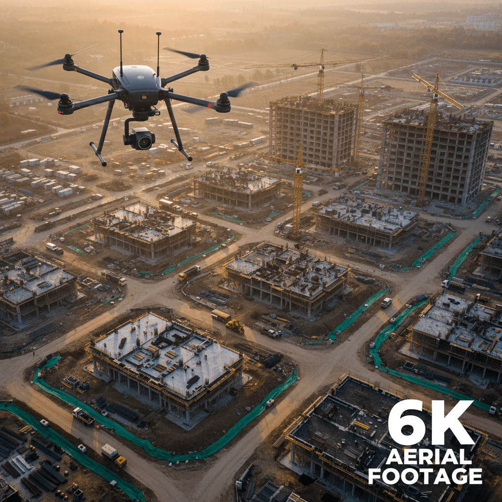
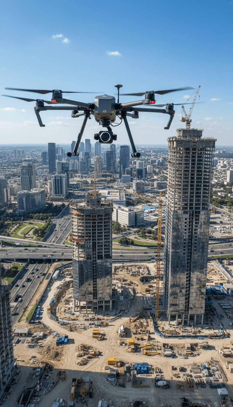
6K Ultra-High-Definition Videography

Aerial 6K video to document your projects with exceptional detail and professional quality.

02

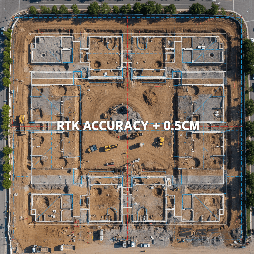
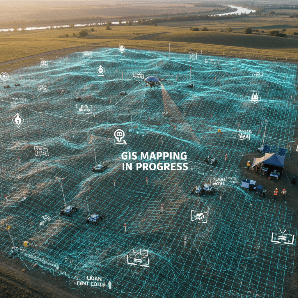
RTK Survey & Mapping

Precise positioning and high-accuracy GIS data fully compatible with modern construction and BIM systems.

تصوير جوي احترافي بدقة 6K
الفحص الحراري للمباني والمنشآت
03

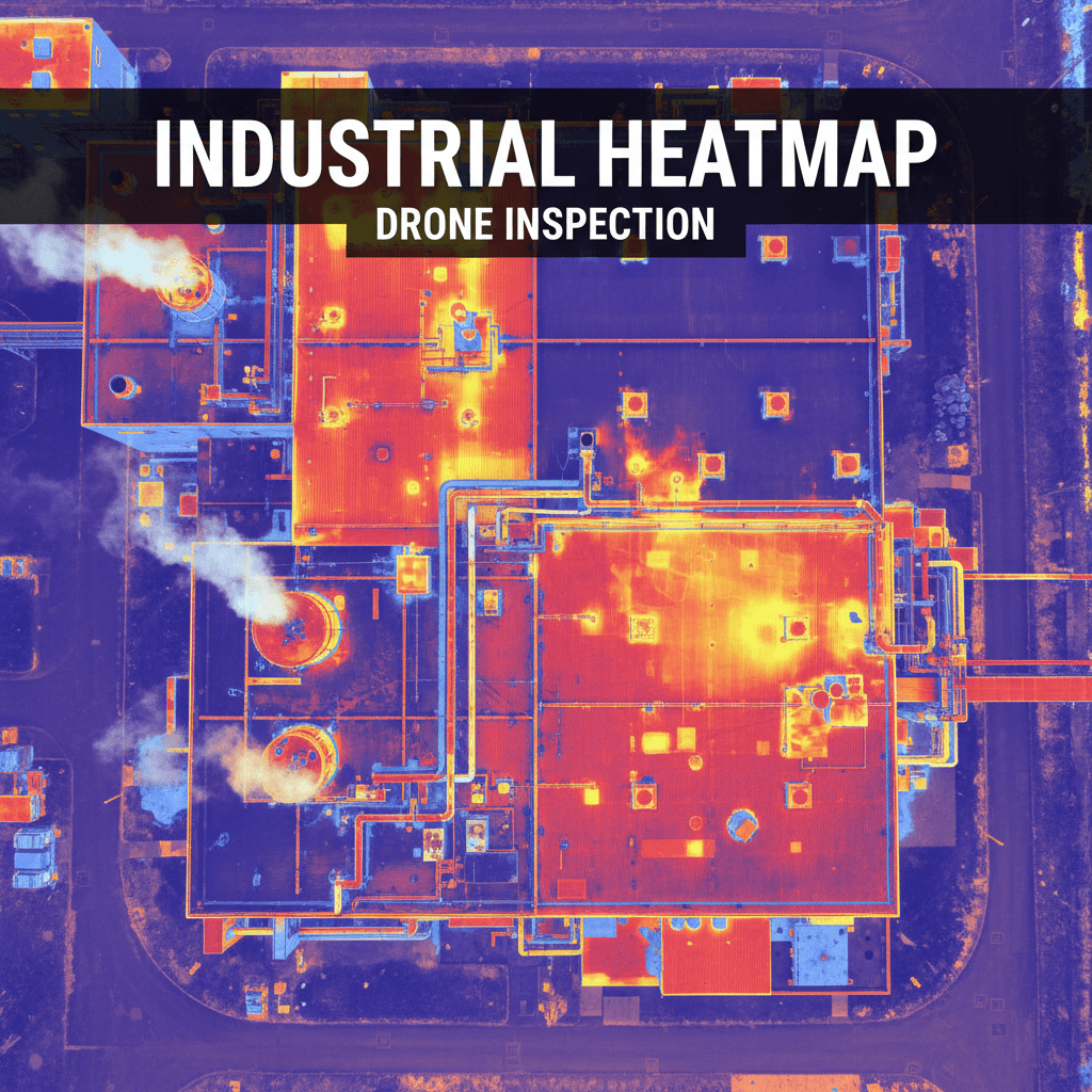
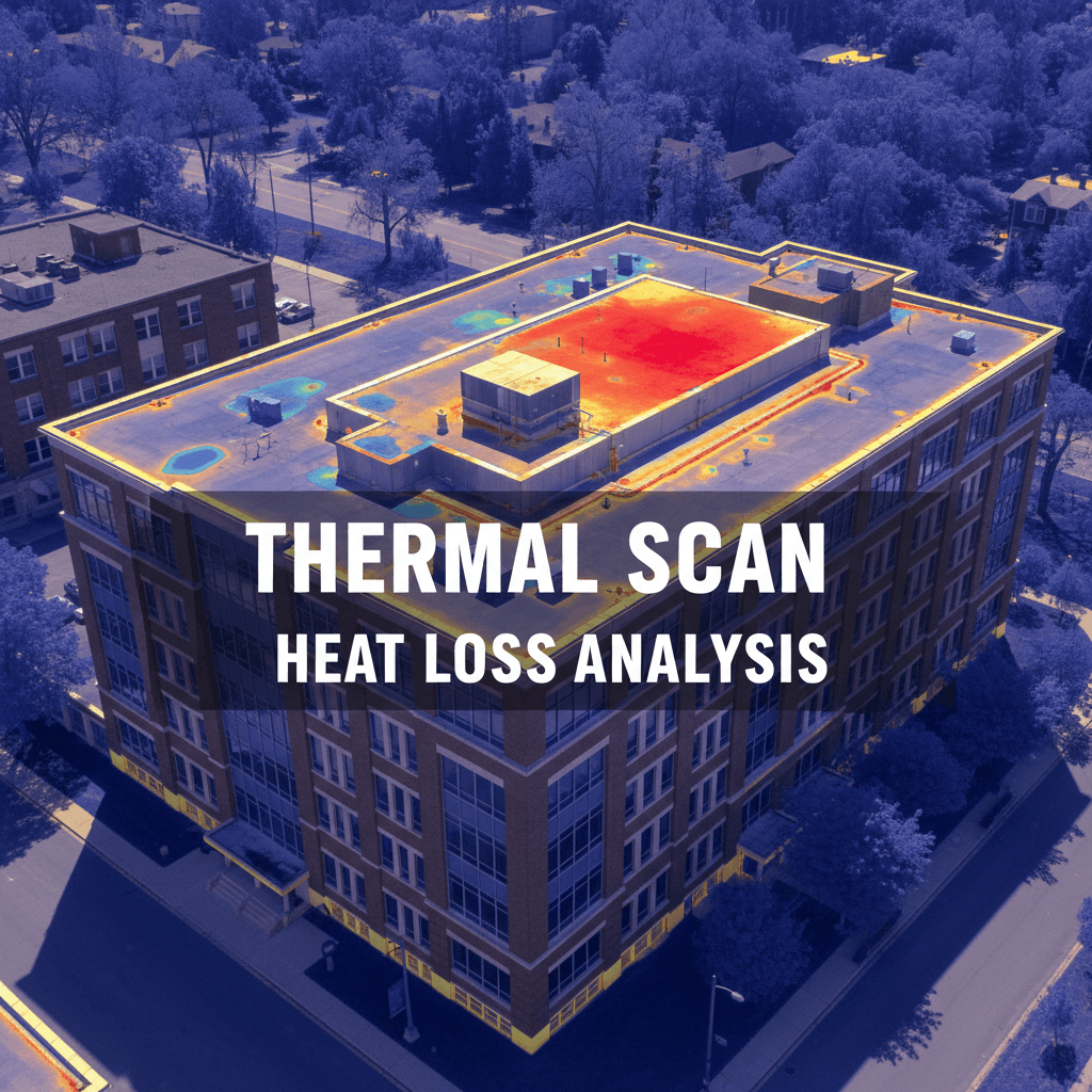
Thermal & Infrared Inspection

Detect structural, thermal, and leak issues with precision for comprehensive facility assessments.

04

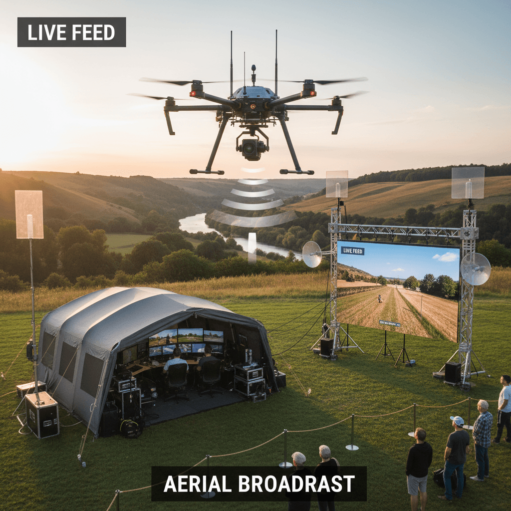
Live Aerial Broadcasting in Professional-Grade Quality

High-quality live aerial broadcasting for events and projects, delivering professional real-time video coverage from above.

05

Site Survey & Assessment

Comprehensive aerial inspection of new sites with detailed reports and precise recommendations.

البث الجوي المباشر من الطائرات بدون طيار
استطلاع جوي شامل للمواقع والمشاريع
Our Work

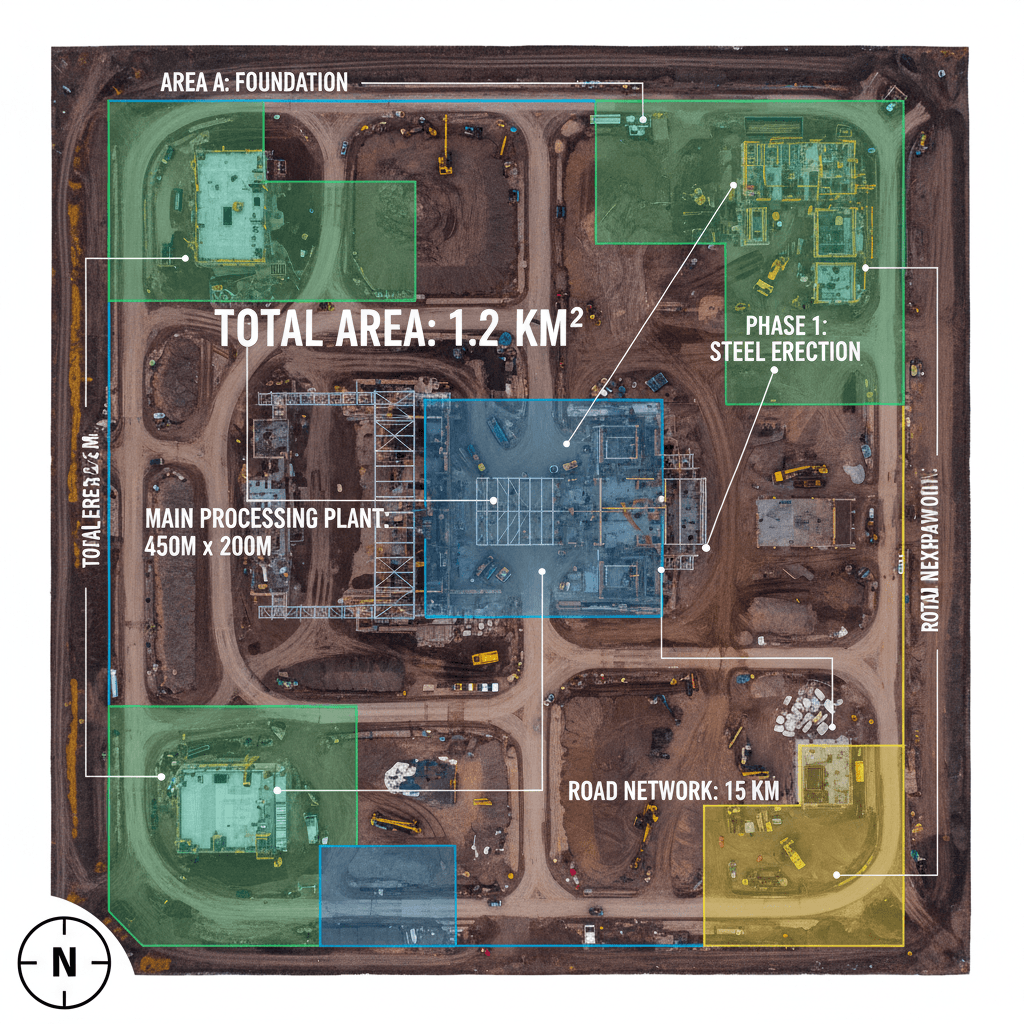
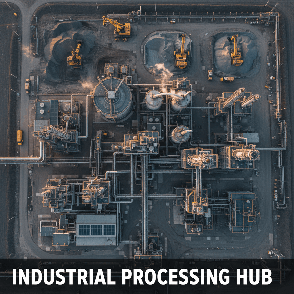
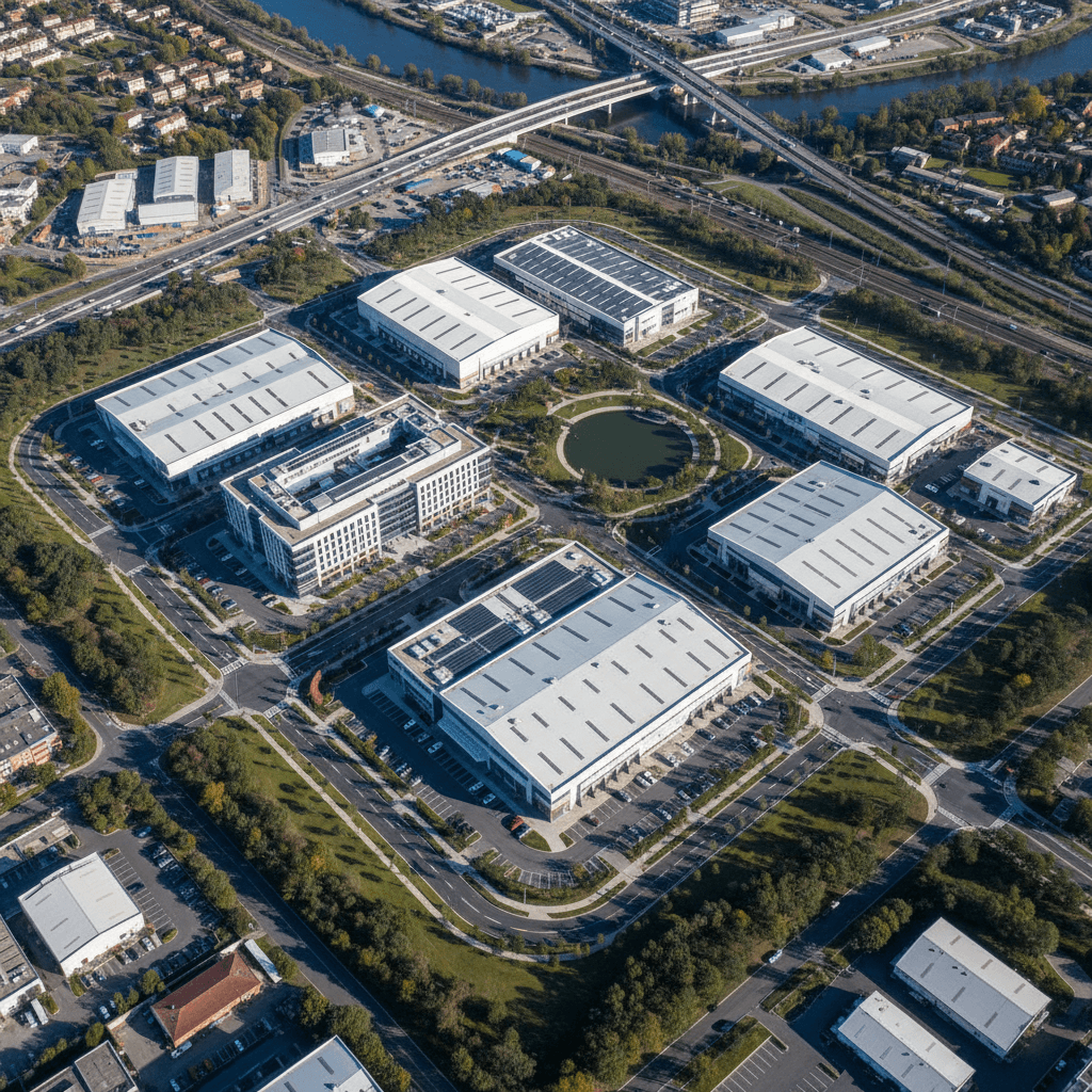
Aerial Projects Executed with Precision

Work we've done for clients in Riyadh — 6K aerial videography, RTK-precision mapping, and thermal inspection, all in one place.

مسح جوي لموقع بناء باستخدام تقنية RTK
تصوير جوي عالي الدقة 6K لمنشأة صناعية
فحص حراري جوي بتقنية الأشعة تحت الحمراء
مشروع تطوير عقاري شامل من الأعلى
مسح هندسي جوي لجمع بيانات GIS دقيقة
بث جوي مباشر لتغطية حدث كبير
Get in Touch

Tell Us About Your Aerial Project

Reach out to inquire about our specialized aerial services. We'll get back to you promptly with the right solution for your needs.

طائرة بدون طيار تحوم فوق موقع بناء احترافي في الرياض
Who We Are

Our Vision & Mission In Professional Aerial Services

Majed Aerial Solutions GACA licensed, precision aerial services across Riyadh and the region. We specialize in high-quality data capture for construction, engineering, and industrial projects — built for professionals who demand accuracy.

Professional Drone Solutions — Majed Aerial Solutions Saudi Arabia

Majed Aerial Solutions is a GACA licensed drone operator delivering comprehensive drone services across Saudi Arabia. We specialize in survey-grade drone mapping, thermal drone inspection, aerial photography, live drone broadcast, and precision agriculture UAV services.

RTK Drone Survey and Mapping Services

Our drone mapping services use RTK GNSS technology to produce survey-grade aerial land surveys with 5cm GSD accuracy. We generate Orthomosaic maps, DSM and DTM models, topographic contour maps, LAS/LAZ point clouds, DXF files, OBJ models, and GIS datasets. We deploy ground control points GCP on every project to maximize positional accuracy. All outputs are BIM and GIS integration ready for ArcGIS, AutoCAD, and Revit.

Thermal Drone Inspection Services

We provide thermal imaging survey and asset inspection UAV services for solar farms, power lines, towers, industrial facilities, and building facades. Our thermal drone inspection identifies hot spots, damaged cells, and structural anomalies with detailed actionable PDF reports. We cover solar panel inspection drone, infrastructure inspection drone, and power line inspection drone services across Saudi Arabia.

Aerial Photography and Cinematic Drone Footage

We produce cinematic drone footage and 6K aerial video for real estate developers, construction firms, and media production companies in Riyadh. Real estate drone photography, vertical video drone, and event drone coverage are available for projects of all sizes.

Live Drone Broadcast and Streaming

We provide drone live broadcast and aerial live streaming services using RTMP drone streaming technology. Our live drone feed is used for government events, sports events, drone marketing content, and large-scale exhibitions across Saudi Arabia.

Agriculture Drone Survey and NDVI Analysis

Our precision agriculture UAV services include multispectral drone imaging, NDVI analysis drone, crop monitoring drone, and farm mapping drone for Saudi agricultural projects. We help agri-businesses optimize irrigation, detect crop stress, and manage land efficiently.